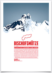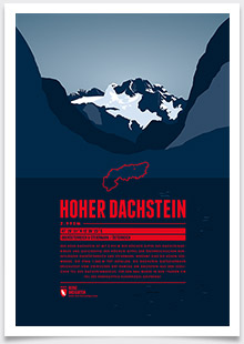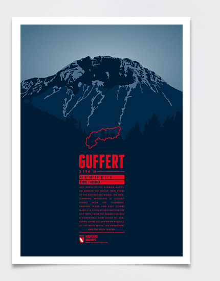
Just south of the German-Austrian border the rocky twin peaks of the Guffert are rising. The freestanding mountain is clearly visible from the Tegernsee. Varying trails and easy climbs make it a popular destination for day trips. From the summit plateau a panoramic view opens up, reaching from the Bavarian Prealps, to the Wetterstein, the Karwendel and the High Tauern.
Language:
Size:
More information about the different materials.
Elevation: 2194 m
Country and region: Austria, Tyrol
Mountain range: Brandenberg Alps
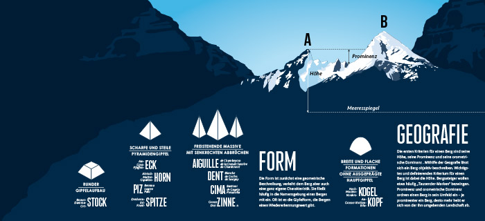
Prominence: 1143 m
Orometric dominance: 52
Coordinates: 47.546944, 11.789167

