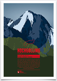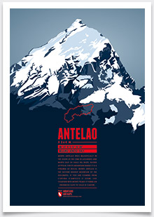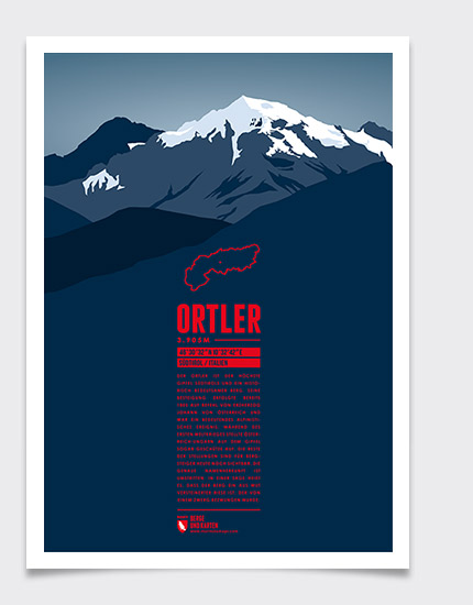
South Tyrol's highest summit is one of great historic importance. The first ascent took place in 1805 by command of the Archduke John of Austria, being one of the milestones of Alpinism. During World War I Austria-Hungary installed cannonry on the summit, the remains of which can still be seen by mountaineers today. The origin of the name is a matter of dispute. A legend tells that the mountain once was a giant turned into stone in rage over having been defeated by a dwarf.
Language:
Size:
More information about the different materials.
Elevation: 3905 m
Country and region: Italy, South Tyrol
Mountain range: Southern Limestone Alps
Prominence: 1953 m
Orometric dominance: 50
Coordinates: 46.508966, 10.544782
