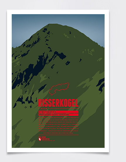
Risserkogel, the second highest summit of the Tegernsee Mountains, is situated south of the slightly lower Plankenstein whose distinctive peaks make it a popular destination for climbers. The ascent to the summit of Risserkogel can be achieved with a two to four hour hike, depending on the chosen path. This makes the mountain a popular destination, notably for the inhabitants of Munich and the surrounding area.
Language:
Size:
More information about the different materials.
Elevation: 1826 m
Country and region: Germany, Bavaria
Mountain range: Mangfall Mountains
Prominence: 755 m
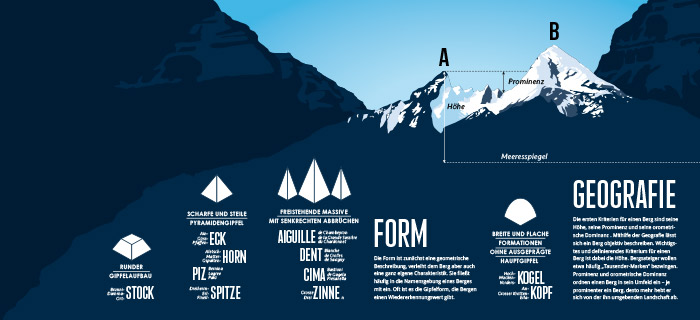
Orometric dominance: 41
Coordinates: 47.638056, 11.804167
