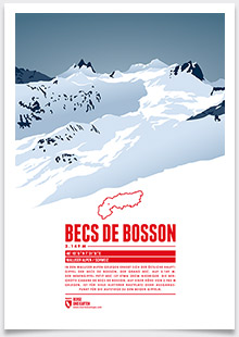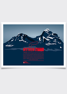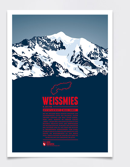
The snow-covered top of the Weissmies appears like a white moss cushion. This explains how the mountain got its name, “mies” meaning “moss” in the local dialect. Situated in the Pennine Alps the Weissmies is the highest peak in the Weissmies Group, named after the mountain. The summit was first climbed in 1855 and is considered to be an easy four-thousander. The panorama from the mountain top offers a great view of the neighbouring peaks, the Mischabel Group, the Monte Rosa, and down to Saas-Fee in the Saas Valley to the west and the Simplon Valley to the east.
Language:
Size:
More information about the different materials.
Elevation: 4017 m
Country and region: Switzerland, Valais
Mountain range: Pennine Alps
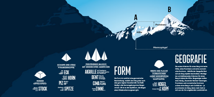
Prominence: 1185 m
Orometric dominance: 29
Coordinates: 46.127778, 8.011944
