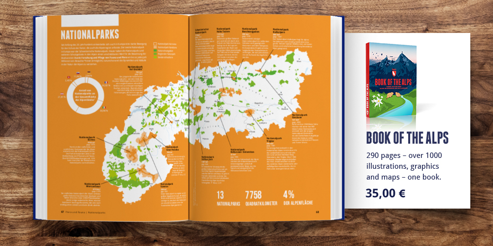
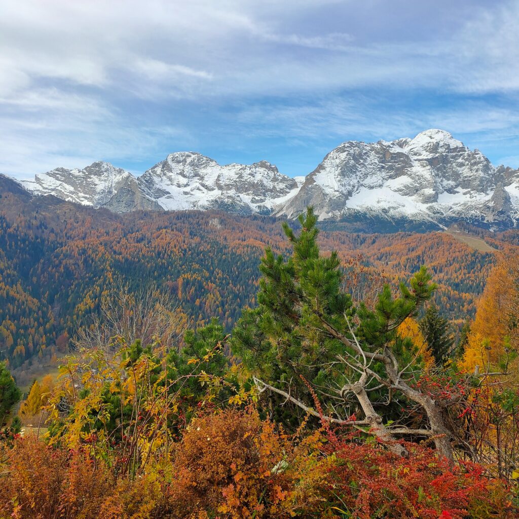
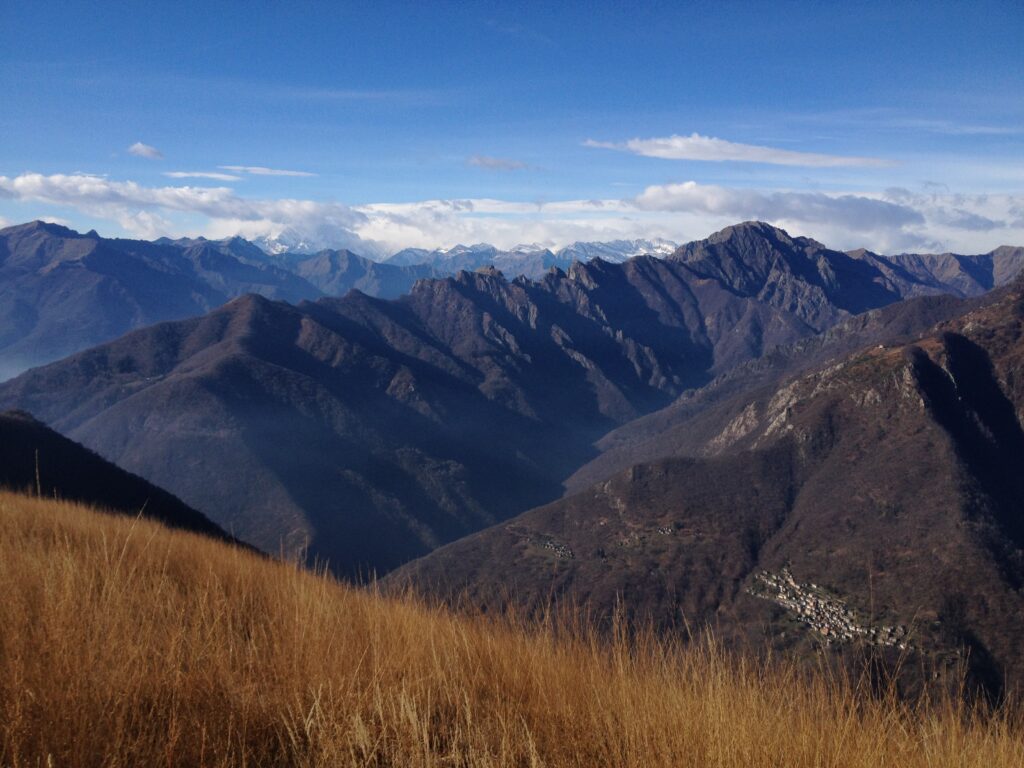
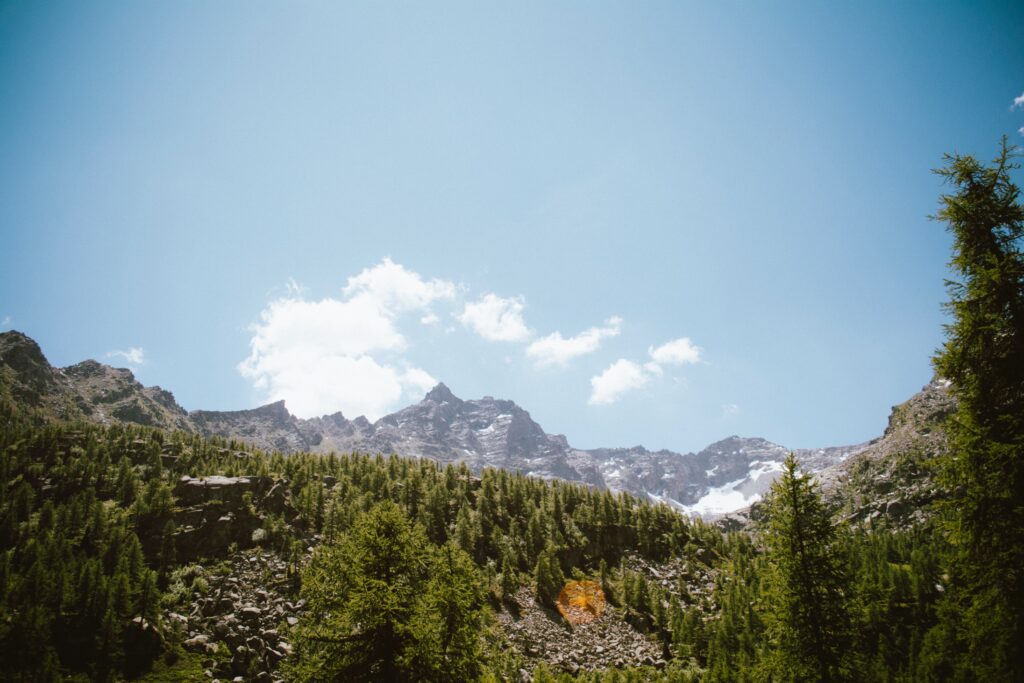
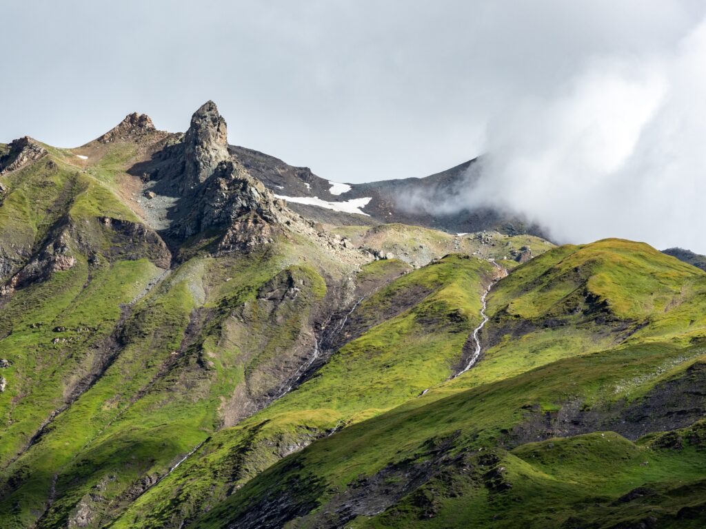
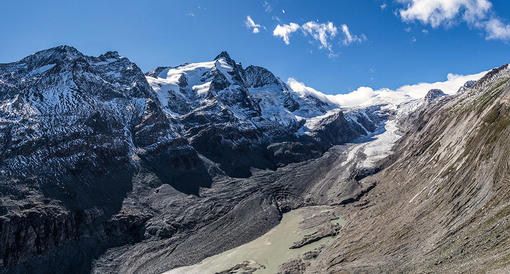
The Alps are a unique natural environment with an impressive variety of animal and plant species. Some of them are even exclusive to the Alpine region. Thus it is all the more important to protect this special flora and fauna by establishing nature reserves. Here, we present you the national parks of the Alps.
Berchtesgaden National Park
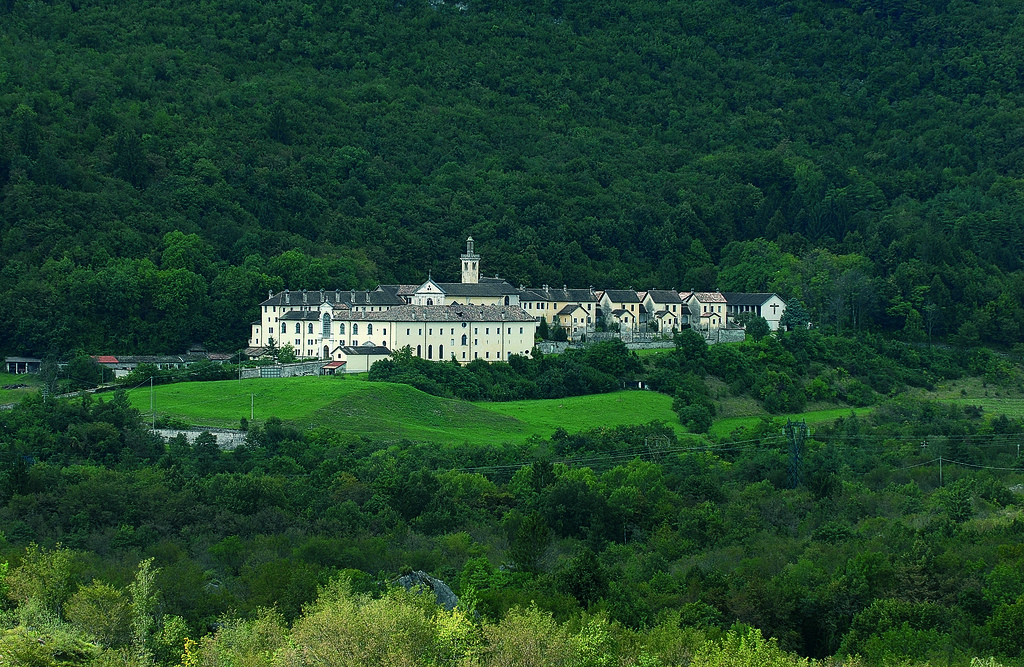
The Berchtesgaden National Park is the only German national park situated in the Alps. It is located in the Northern Limestone Alps in southeastern Bavaria, directly on the border with Austria and covers an area of 210 km2. It has been officially registered as a national park since August 1, 1978. Previously, a large part of the area was denoted as Nature Reserve Königsee. In 1990, the park was designated a UNESCO Biosphere Reserve encompassing a core and a buffer zone.
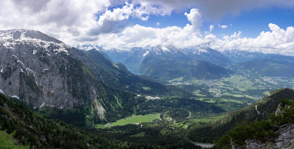
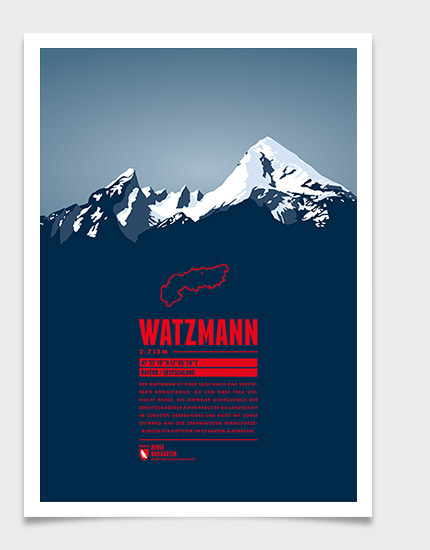
Geographically, the Berchtesgaden National Park is a high mountain region, with the tallest peak being Watzmann mountain at a height of 2,731 m. The landscape is characterized by many other mountains, such as the Jenner, as well as mountain lakes, valleys and forests. At lake Funtensee the lowest temperatures are measured regularly, making it one of the coldest places in Germany. Furthermore, a unique geological site is the 10 km long valley Wimbachgries that stretches between Watzmann and Hochkalter and consists only of scree-covered ledges. It was most likely formed by a collapsing vault between the two mountains.
The main goal of the national park is the protection of nature, therefore 75% of the area, the so called core zone, is left to itself with no human intervention. Natural processes such as the aging of forests and erosion can take place undisturbed. In the buffer zone, traditional uses such as Alpine farming and fishing are encouraged. All plants and animal species are strictly protected.
In addition, research is conducted on natural and near-natural symbiosis and a sustainable approach to nature is taught to the public. Besides, the park offers its approximately 1.5 million annual visitors a variety of hiking trails, which extend over a total of 260 km. Among them are via ferrata routes, paths for barrier-free hikes and even bicycle paths.
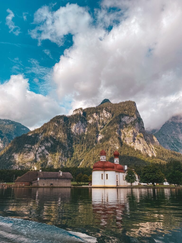
Königssee 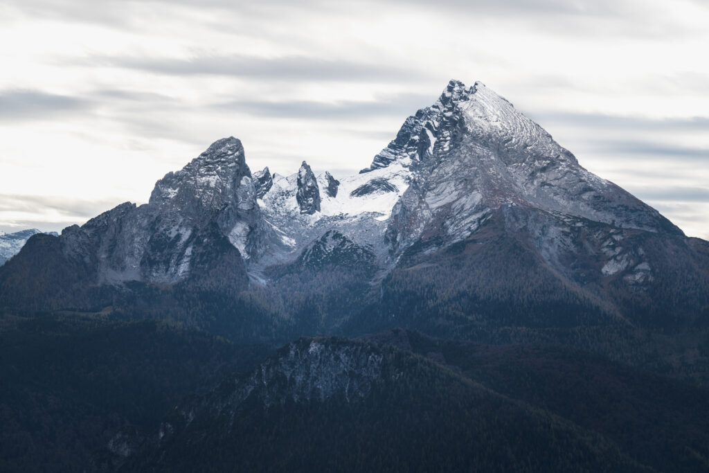
Watzmann
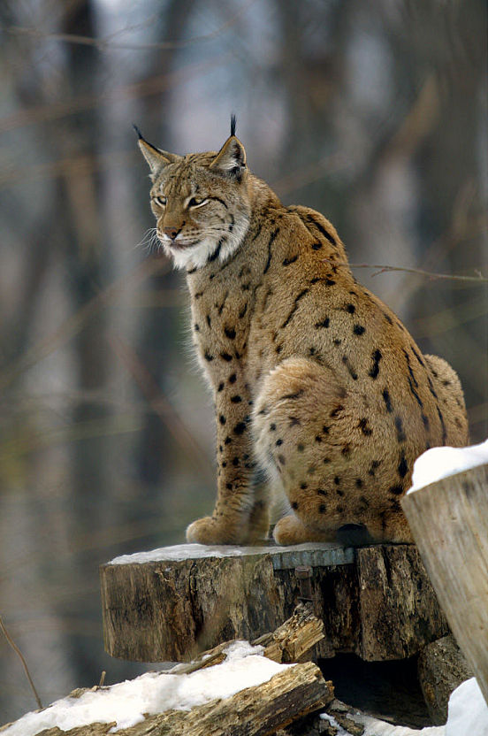
As far as flora and fauna are concerned, Berchtesgaden National Park is home to many different species of plants and animals. Deer, chamois, ibex, marmots, mountain hares, but also 100 bird species such as the golden eagle, the rock ptarmigan or the raven and 16 species of amphibians and reptiles, such as 15 species of fish can be encountered. Among them are endangered species such as the adder, grass snake and the fire salamander.
At lower altitudes, beech trees predominate, but the higher you go, the more conifers such as spruce and larch take over. Above the tree line, the shrubby mountain pine grows. Arnica, silver thistle, alpenrose and Clusius’ gentian can be found on the Alpine pastures.
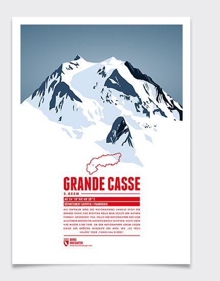
Vanoise National Park
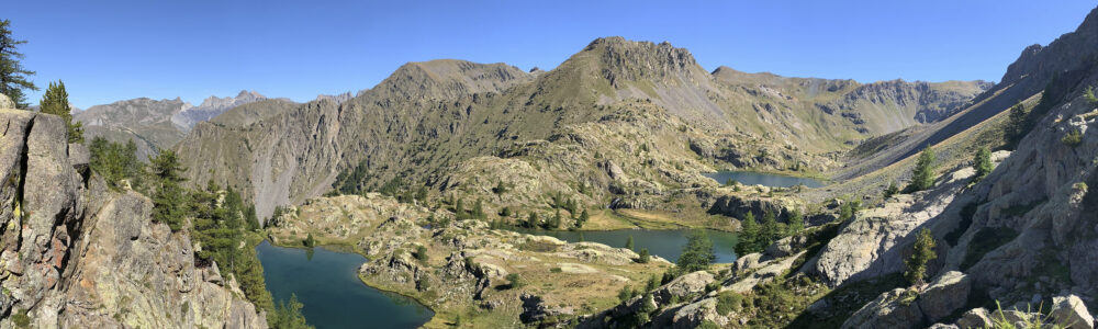
Vanoise National Park was founded in 1963, making it the first French national park and one of the three parks in the French Alps. It is located in the west of the Graian Alps in the Rhone-Alpes region and borders the Italian Gran Paradiso National Park. There has been a cooperation between the two parks since 1972.
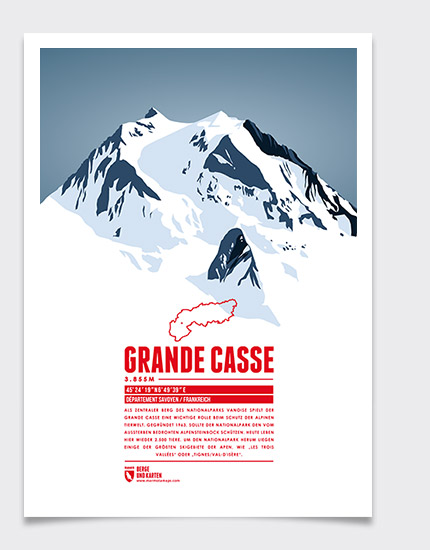
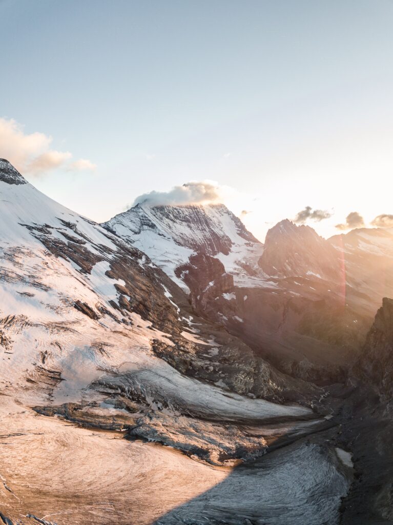
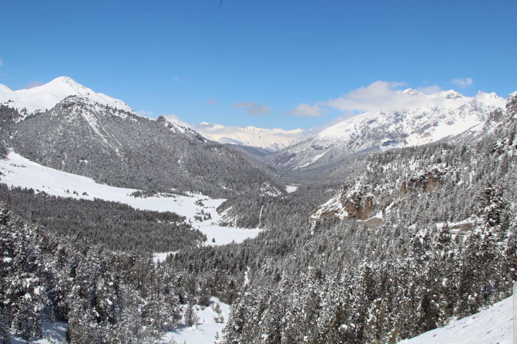
The national park was named after the Vanoise massif. The highest summit is the Grande Casse at 3,855 m. The park is a so-called two-zone park, consisting of an inner and an outer zone. The inner core zone is a high mountain region with over 40 three-thousanders and extends over 528 km2. Pasture area dominates the strictly protected core zone, but there is also about 50 km2 of glacier area. Surrounding the inner zone is the outer zone, which covers about 1,436 km2. This region is heavily used for winter sports.
However, in the core zone, one can also go hiking and ski touring, although there are stricter regulations set in place, as the preservation and protection of nature are particularly important. For example, cycling, paragliding and dogs are prohibited here.
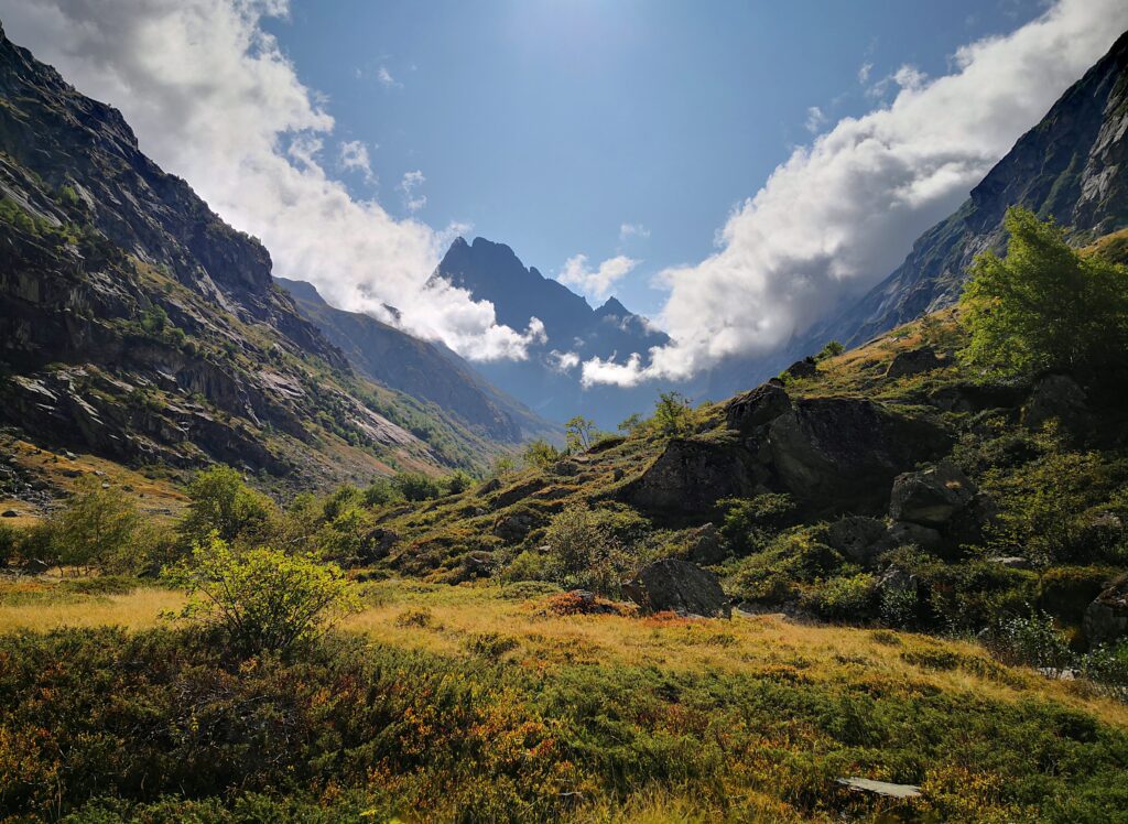
There are about 500 km of marked hiking trails in the national park. One of the most famous circular hiking trails is the “Tour des Glaciers”, which leads through the Haute Maurienne and Haute Tarentaise. In addition, three European long-distance paths run through the park.
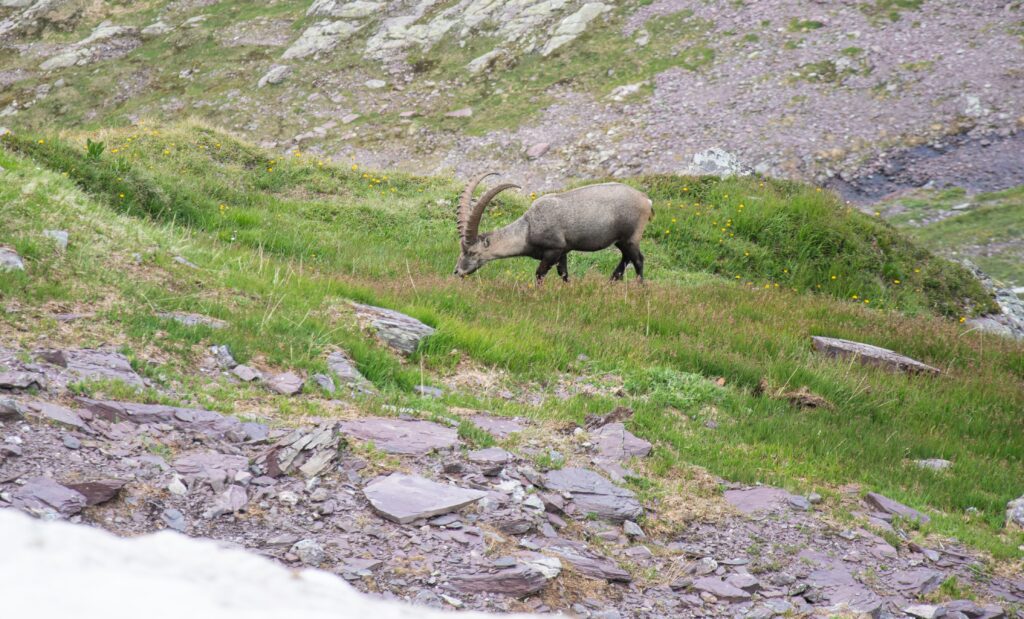
The national park was founded, among other things, to prevent the extinction of the Alpine ibex. Today, a population of about 2,500 animals live in the core zone. Chamois, European mouflon, marmots, golden eagles, wolves, stoats, bearded vultures and many other animals are also at home in the park.
The Alpine flora of the glaciated and rocky landscape is characterised by types of rock jasmine, Alpine columbine, carex and saxifrage. Plants such as the twinflower and the Gentiana utriculosa grow in no other place in France.
In addition, there are several churches and mountain chapels in the park, which were built using traditional construction techniques and are counted among architectural cultural assets. Traditional Alpine farming and the production of the regional Beaufort cheese are also promoted in the national park.
Écrins National Park
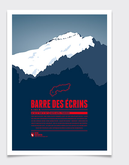
Écrins National Park is located in the southern part of the French Alps, the so-called Dauphiné Alps, in the departments of Hautes-Alpes and Isère. It was founded in 1973 and has a total size of 1,786 km2. Like the Vanoise National Park, it is a two-zone park. The core zone covers an area of around 918 km2. The altitude profile of the park ranges from 800 m to 4,102 m, with the highest point being the Barre des Écrins in the Massif des Écrins.
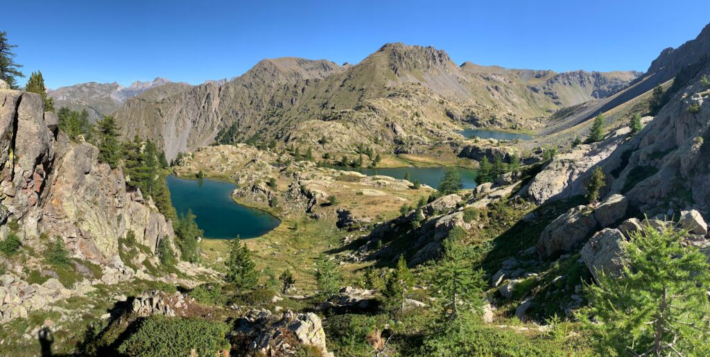
The landscape of the park, where over 150 of the mountains reach a height of over 3,000 m, is also characterised by glaciers, waterfalls, lakes and Alpine pastures. The park has seven very different valleys, in each of which a visitor centre is located. Many hiking, climbing and skiing opportunities can be found here. Within the core zone there are almost 700 km of hiking trails. In the outer zone, the trails are also accessible to mountain bikers and horse riders. The hiking routes offer options for short day trips as well as for multi-day tours.
This national park is also home to many rare animal species such as lynx, wolves and ibex. With a bit of luck, golden eagles, bearded vultures, griffon vultures and black vultures can be spotted.
Especially in the eastern part, larches are the dominating tree species. Above the tree line grows dwarf juniper. In total, over 1,800 plant species thrive in the park.
Mercantour National Park
Mercantour National Park is located in the Maritime Alps in the south-east of France within the departments of Alpes-Maritimes and Alpes-de-Haute-Provence and borders on Italy. It was established as a two-zone park in 1979. Until 1947, parts of the park belonged to the Italian king and served him as a hunting ground.
The highest peak is the Cime du Gélas at 3,141 m. Another six mountains are three-thousander. In total, the Mercantour National Park covers 2,150 km2, of which 685 km2 belong to the uninhabited, protected inner core zone.
Besides mountains, the landscape is characterised by lakes, meadows and forests. The nearby Mediterranean Sea has a strong influence on the climate in the national park. Not only is it warmer in this part of the Alps, but the weather can also change extremely quickly here.
Within the park lies Mont Bégo as well as the two valleys Vallée de Merveilles and Vallée de Fontanalbe, where over 35,000 rock carvings from the Bronze Age can be discovered.
1,700 km of hiking trails run through the national park. But not only hikers will get there money’s worth, there are also many possibilities for canoeing, mountain biking, rafting and cross-country skiing.
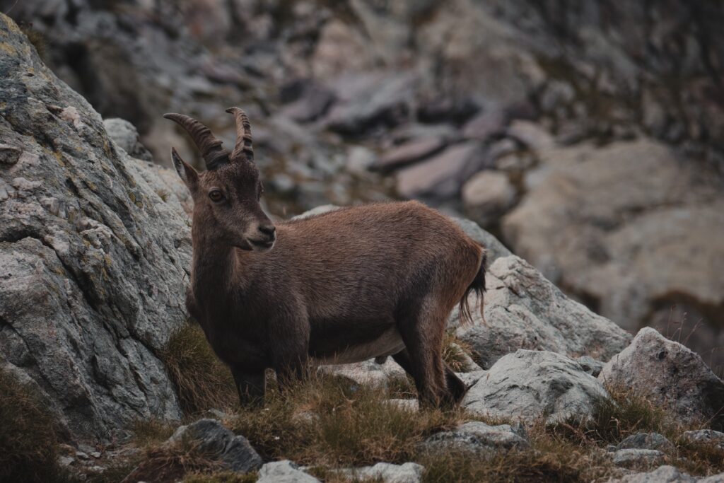
Almost 50 endangered animal species can be found in Mercantour National Park, including ibex, golden eagles, mouflon, feral cats, wolves, capercaillies and bearded vultures.
Due to the maritime climate, many vegetation zones and thus over 6,000 Alpine as well as Mediterranean plant species are represented, 40 of which are endemic to the park. Orchids, gentian, edelweiss and a rare species of saxifrage that only blooms every 30 years grow here.
Stelvio National Park
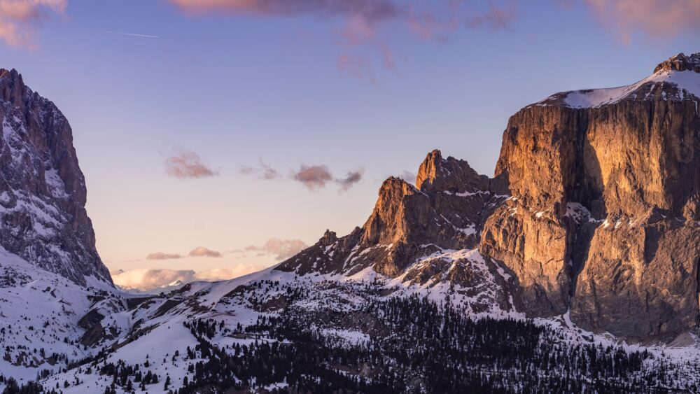
Stelvio National Park was founded in 1935 and is located in the north of Italy. It extends over South Tyrol, Trentino and Lombardy and includes parts of the Ortler Alps and the Livigno Alps. In the north, the park borders directly on the Swiss National Park. With a size of almost 1,350 km2, it is one of the largest protected areas in Europe and the second largest in the Alps. Numerous mountain peaks in the park, such as Monte Cevedale or Königspitze, rise above the three-thousand-metre mark. With a height of 3,905 m the Orter is the highest summit.
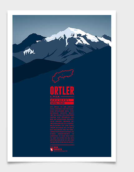
The Stelvio Pass connects South Tyrol with Lombardy and at around 2,760 m it is the second highest Alpine pass. The high mountains in the park are characterised by many mountain lakes, high valleys and valley heads. In addition, several glaciers, such as in Suldental valley, and waterfalls, e.g. around Trafoi, adorn the landscape.
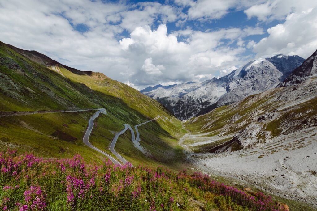
Despite the area being protected and having a sustainable, environmentally conscious management in place, the landscape is used economically in the form of mountain farming or ski resorts nonetheless. Many hiking trails lead through the park and the Stelvio Pass is also a popular route for cyclists.
The vegetation ranges from alluvial to spruce and larch forests to Alpine pastures and rocky landscapes. In the Ortler Alps, metamorphic rocks such as mica schist, quartz phyllites or marbles are particularly common.
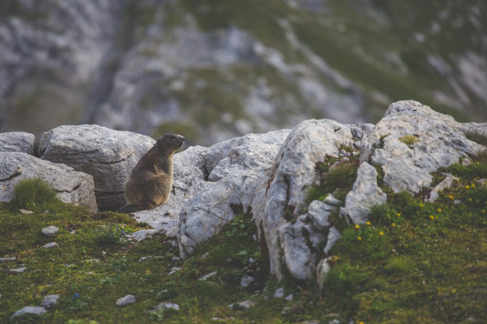
Marmots, Alpine ibexes, chamois, stoats, golden eagles, bearded vultures and many other animals feel at home in the park.
Dolomiti Bellunesi National Park
The Dolomiti Bellunesi National Park is located in the southern part of the Limestone Alps in north-eastern Italy in the province of Belluno. It was founded in 1988 and covers an area of around 315 km2. Since 2009, the park has been a UNESCO World Heritage Site. The Alpi Feltrine and Monti del Sole mountain ranges are the highest elevations within the park, reaching up to 2,565 metres.
The national park is particularly green and water-rich. Gentle plateaus and grassy hills as well as springs, bogs and streams shape the landscape. The Sofia and Cadini del Brenton waterfalls can be found in the Mis valley. There are also two man-made reservoirs in the park, Lago della Stua and Lago di Mis.
Places of interest include the 15th century monastery Certosa di Vedana or the mines in Valle Imperina.
Hiking enthusiasts will find countless hiking trails for leisurely day trips or for multi day tours to the mountain peaks. The village of Feltre, situated on the edge of the national park, is a popular destination for winter sports.
The flora in the Bellunese Dolomites is particularly colourful. In addition to deciduous and coniferous forests, rhododendrons, thistles, edelweiss and the Dolomite bellflower grow there.
A similar variety of animal species are resident in the Bellunese Dolomites. These include marmots, moufflons, stoats, chamois, roe deer, kestrels, golden eagles, pygmy owls, eagle owls and pheasants. In total, there are 114 bird species, 20 amphibian and reptile species, almost 100 butterfly species and about 50 different beetles.
Val Grande National Park
The Val Grande National Park is located in the northern part of the Italian Alps in the province of Verbano-Cusio-Ossola near the Swiss border and covers an area of 146 km2. The park consists of seven side valleys that lead to the 25 km long Val Grande valley, which is located in the west of the park. The San Bernadino torrent flows through the Val Grande valley into Lake Maggiore south of the national park.
The area was designated a national park in 1991. It is very pristine and characterised by wilderness. The valley had never been inhabited all year round. In the first half of the 20th century people lived from timber industry and Alpine farming. The Second World War led to the abandonment of many Alpine pastures. It was precisely because of this and the deforestation that the plants in the area grew wild.
Dense, impenetrable forests shape todays landscape of Val Grande. It is the largest protected wilderness area in the Alps and one of the largest regions left to nature in Europe. Only remains still hint at the former Alpine farming. Freely accessible stone houses are scattered throughout the park and hardly any paved roads, only hiking trails exist.
The highest point is the 2,301 m high Monte Togano at the edge of the park. Pizzo Mottac in the centre of Val Grande offers hikers a breathtaking view spanning over the entire valley. In the south of the valley lies the 2,100 m high Pizzo Proman, which is challenging to hike and has to be climbed in parts, but once on top it offers an amazing view over Lake Maggiore. In general, if you want to hike in the park, you should be experienced or take part in a guided tour. Moreover, it is not possible to hike in the entire area. The wild gorges, for example, are not equipped with trails and crossing them is prohibited.
In the lower part of the valley one mainly comes across deciduous forests and chestnut trees, whereas in the upper part beeches as well as spruces dominate the vegetation. Above the tree line, shrubland can be found. Alpine columbines and Alpine tulips also grow in the region.
Looking at the fauna, animals such as golden eagles, chamois, deer, foxes, martens and dormice have their habitat in the Val Grande.
Gran Paradiso National Park
Gran Paradiso National Park is located in the Graian Alps in north-western Italy in the regions of Valle d’Aosta and Piedmont and covers 703 km2. To the west, the park borders the French Vanoise National Park. Gran Paradiso was founded in 1922 as the first Italian national park with the aim to protect the Alpine ibex population, that was almost extinct at that time.
The altitude ranges from 800 m to 4,061 m. The highest point is Gran Paradiso mountain, which also gives the park its name. 724 km of marked trails wind through the park, which can be used for hiking and horseback riding tours. Ski tours can also be undertaken in Gran Paradiso.
The impressive mountains and valleys of Gran Paradiso National Park were carved and shaped by glaciers and torrents. A total of 57 glaciers lie within the park limits. Furthermore the Alpine landscape is characterised by pastures, lakes, streams, rocks and forests. The dominant tree species are larches, spruces, stone pines and gray pines. Especially in spring the pastures are covered with flowers. Up to 1,000 different plant species are in bloom at that time. One of the rare flowers in the park is the prairie cinquefoil, which blooms on the dry pastures at an altitude of over 1,300 metres.
Meanwhile, about 4,000 ibex live in the region again. Chamois, marmots, some lynxes, golden eagles and bearded vultures are also part of the Alpine fauna.
High Tauern National Park
The High Tauern National Park was founded in 1981 as Austria’s first national park. It is located in the high mountain region of the Central Alps and extends over the provinces of Carinthia, Salzburg and Tyrol.
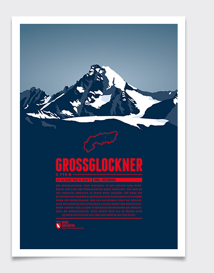
With a size of 1,856 km2 it is not only the largest national park in Austria and the Alps, but also one of the largest protected areas in Europe. The park is divided into a primarily protected core zone and a buffer zone. More than 300 three-thousanders are located in the core zone, including Austrias highest mountain, the Grossglockner at 3,798 metres.
The Alpine landscape is also characterised by large ice fields consisting of almost 350 glaciers, as well as valleys, forests, Alpine pastures, dwarf-shrub heaths, streams, waterfalls and several mountain lakes. The 385 m high Krimml Waterfalls are particularly impressive. Another natural spectacle is the Gamsgrube, a steppe of drifting sand from the surrounding peaks. Such soil formation does not normally occur outside Arctic regions. Within the park, there is a symbiosis between nature conservation and human impact or use. Over 100 farms are located in this area. Besides, the Grossglockner High Alpine Road winds through the High Tauern Park and functions as one of the most frequently used crossings.
For those interested in winter sports, there is a great choice of ski resorts to select from. With a total of 185 kilometres of pistes, the Kitzbühel / Kirchberg ski area is one of the largest, and at Mölltal Glacier you can even ski up to an altitude of 3,122 metres. Snowshoe tours and guided nature tours are also offered and in summer beautiful hiking or cycling paths attract many tourists.
Due to the high differences in altitude in the national park, the flora and fauna are very diverse and many Alpine plant and animal species are represented. Larches, Swiss pines, Alpine toadflax, glacier cinquefoil and alpenroses can be discovered. Around 10,000 animal species are native to the landscape. These include chamois, ibexes, griffon vultures, bearded vultures, golden eagles, marmots and red deer.
Gesäuse National Park
The Gesäuse National Park was established in 2002 and is located in the north-eastern Limestone Alps in the Austrian province of Styria. It measures 110 km2.
Characteristic for the park are the up to 900 m steep rocky gorges of the Gesäuse Mountains, through whose valley the wild rivers Enns and Salza flow. The park owes its name, which means as much as roaring, to their loud sound.
The limestone peaks of the Buchstein Group and the Reichenstein Group, the two mountain ranges that frame the valley, tower up to over 2,300 m. The highest elevation in the national park is the Hochtor at 2,370 m.
The region is strictly protected and largely unspoiled, making it a UNESCO Geopark. The park is divided into a nature zone and a preservation zone. In the preservation zone, limited use such as Alpine farming is permitted.
More than 500 km of hiking trails run through the park, ranging from easy hikes to difficult climbing tours. Some of the most difficult routes include the climbing of Kleiner Buchstein or of Tieflimauer. The Tamischbachturm is an easier two-thousander, as it has no climbing passages. In the middle of the park a pavilion as well as the Weidendom, an architectural structure made of willows that houses a research centre, are located. Other than that activities like snowshoeing, searching for traces, bivouac building or stargazing are offered.

Half of the national park’s territory is covered by forest, in addition to rocks. Around the Gesäuse Mountains riverside forests, maple-ash forests, Alpine heaths, pines, spruces, beeches and, above the timberline, mountain pines grow. Due to the steep slopes, a high diversity of species can be found in a very small area. However, living creatures must be able to adapt well to the extreme steepness and windy conditions to survive in this environment. Just to name a few species that are at home in the park: Chamois, ibex, marmots, golden eagles, rock ptarmigan, otters and vipers.
Kalkalpen National Park
The Kalkalpen National Park is located in Austria and was established in 1997. It extends over the Sengsengebirge and the Reichramiger Hintergebirge in the Upper Austrian Pre-Alps.
With an area of 209 km2, it protects the largest contiguous forest area in Austria and has been a UNESCO World Natural Heritage Site since 2017. The lowest point in the park is 385 m above sea level, whereas the highest peak is the Hohe Nock at 1,963 m.
The landscape is characterised by a mixed forest of spruce, fir and beech trees. The forests are very pristine so that in some places remnants of primeval forest can even be discovered. Within the preservation zone only a few Alpine pastures are cultivated.
The mountains in the Kalkalpen National Park have many caves. So far, more than 70 have been discovered. One of the largest caves is the Klarahöhle. Since its discovery in 1999, a 24 km long system of veins has been explored in the dripstone cave. The cave is not open to the public in order to preserve its original form.
For visitors, the park is well equipped with hiking trails. There are themed trails for families and over 500 km of cycling and mountain biking trails. In winter, snowshoe hikes can be undertaken.
Many animal and plant species live in the large forest stands. 50 different mammal species, 80 bird species and over 1,500 butterfly species can be found, as well as 1,000 flowering plants, mosses and ferns. Golden eagles, otters, peregrine falcons, dormice and occasional lynxes have been recorded.
Swiss National Park
The Swiss National Park is located in the east of Switzerland in the canton of Grisons and shares a border with the Stelvio National Park in Italy. It is the only national park in Switzerland and, with its foundation in 1914, the oldest in the Alps. The 170 km2 wilderness area has been a UNESCO biosphere reserve since 1979 and is the largest nature reserve in Switzerland. With 3,174 m, Piz Pisoc is the highest mountain within the park.
About 30% of the Alpine landscape is covered by forest and 20% by alps and meadows. The remaining area is mainly defined by rock, scree, snow and bodies of water. The Alpine level between 2,100 m and 2,500 m is dominated by mountain meadows. In addition, the largest contiguous mountain pine forests in the Alps are located within the park limits. Swiss stone pines, larches, spruces and Alpine flowers such as white dryas, Alpine aster or edelweiss also thrive in the region.
The soil of large parts of the park is very calcareous and fossil remains of corals and dinosaurs have been found around Piz dal Diavel. The development of nature without human intervention has been a priority in the Swiss National Park for over 100 years. The region is predominantly accessible only on foot. An 80 km long network of hiking trails with 21 different routes runs through the park. It is strictly forbidden to leave the marked trails. 20 valleys are completely closed off to humans. When hiking, be aware that very sudden weather changes and temperature drops are common for the region. Cycling is not permitted in the area.
There is a great chance to spot some of the many thousands of animal species living in the park, such as ibex, red deer, chamois, marmots, stoats, golden eagles and bearded vultures. The park is also home to brown bears and a few wolves and lynxes.
Triglav National Park
Triglav National Park is located in the Julian Alps mainly in the regions of Bovec and Bohinj in north-western Slovenia, on the border to Italy and Austria.
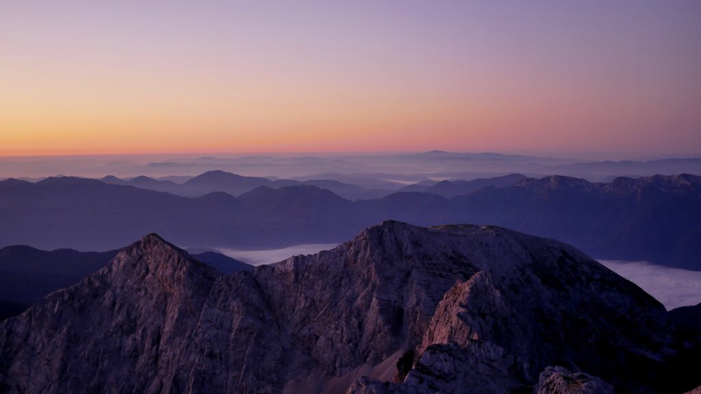
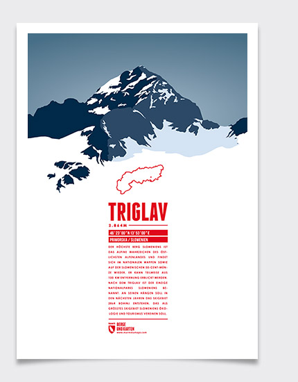
The national park has existed in its present shape since 1981; before that, the area had been designated as an Alpine Conservation Park since 1924. In total, it covers an area of 840 km2. At an altitude of only 180 metres the lowest elevation and at the same time the southernmost access point to the park is the Tolmin Gorge, through which the Tolminka River flows. The highest point in both the park and Slovenia is Mount Triglav, at 2,864 m above sea level.
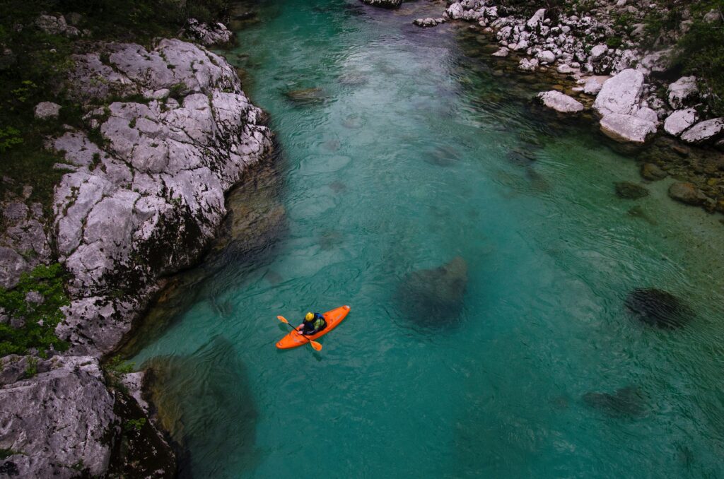
Besides ragged mountains and the highest north face of the Eastern Alps, the landscape is dominated by forests, watercourses and glacial lakes. The almost 140 km long, emerald-green Soča River runs right through the mountains, flowing into the Mediterranean Sea. It is not only home to the park’s typical marble trout, but is also very popular with white-water athletes.
For hikers, there are around 9,000 km of hiking trails and also 20 different climbing routes. Furthermore, 35 mountain huts can be found along the trails. It is possible to climb the Triglav via several routes, such as the Sphinx Passage (Sfinga). From the top, one is awaited by a breathtaking view of the Slovenian landscape.
The region is mainly forested with beech, spruce and larch trees. From an altitude of 2,000 m, mountain pines, heather and alpenroses grow. Other endemic plants, those that occur only in certain regions, are Triglav hawksbeard, Julian Alpine poppy and Zois’ Bellflower. Alpine wildlife includes golden eagles, griffon vultures, chamois, Alpine ibex, marmots, foxes, badgers, lynxes and brown bears.