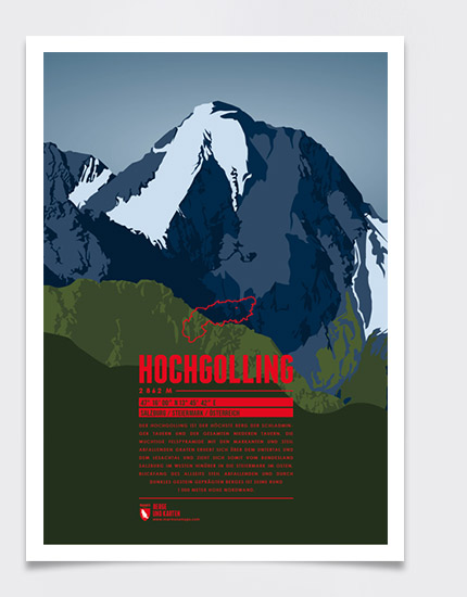
Hochgolling is the highest mountain of the Schladming Tauern and the entire lower Tauern. The immense pyramid of rocks with its prominent and steep falling ridges towers over the valleys of Untertal and Lesachtal. It is situated on the border between the state of Salzburg in the West and Styria in the East. The eye-catcher of this steep mountain, characterized by its dark rock, is its approximately 1 000 Meters high north face.
Language:
Size:
More information about the different materials.
Country and region: Austria, Salzburg / Styria
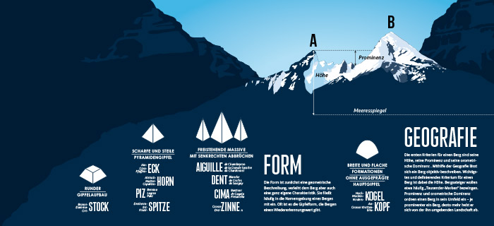
Prominence: 1124 m
Orometric dominance: 39
Coordinates: 47.266667, 13.761667
