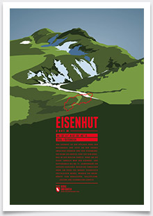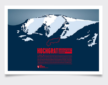
The iconic and local mountain of Oberstaufen is the highest peak of the Nagelfluhkette and of paramount importance for both tourism and geography. The aerial lift Hochgratbahn takes you up to about 125 meters below the summit. On the mountain slopes one can find many Alpine pastures. The Hochgrat mountain run is one of the sportive highlights in the district of Oberallgäu.
Language:
Size:
More information about the different materials.
Elevation: 1834 m
Country and region: Germany, Bavaria
Mountain range: Allgäu Alps
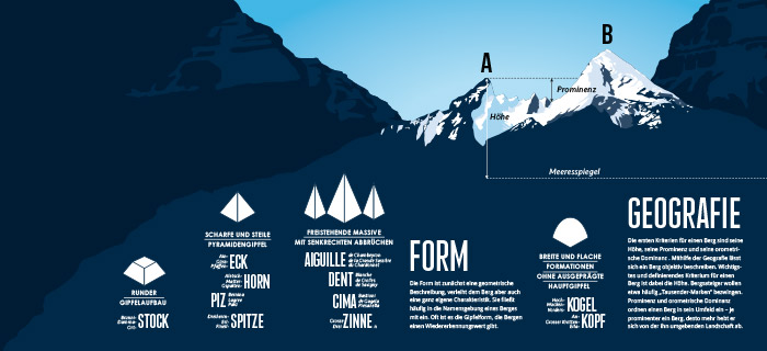
Prominence: 714 m
Orometric dominance: 39
Coordinates: 47.495428, 10.078626
