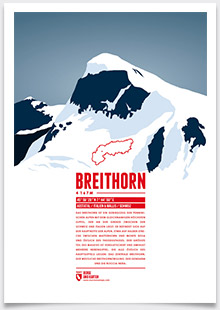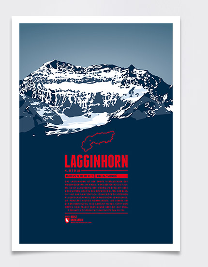
The Lagginhorn is the second four-thousander in the Weissmies Group in Valais, close to the Italian border. It is also the lowest four-thousander in Switzerland. The ascent of the Lagginhorn is considered to be only slightly more difficult than that of the neighbouring Weissmies, which is only 7 meters higher. The popular normal route to the summit, which was already chosen for the first succesful ascent in 1856, starts in Saas-Grund in the valley and goes via the Weissmieshütte in about 2700 meters.
Language:
Size:
More information about the different materials.
Elevation: 4010 m
Country and region: Switzerland, Valais
Mountain range: Pennine Alps
Prominence: 511 m
Orometric dominance: 13
Coordinates: 46.157222, 8.003056
