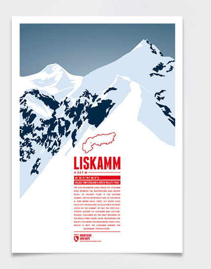
The five kilometer long ridge of Lyskamm rises between the Matterhorn and Monte Rosa. Its highest point is the eastern summit. On the northeast side of the ridge a 1000 meter high, steep, icy rock face falls off. The rugged Lys Glacier is situated south of the summit. In 1861 the first successful ascent of Lyskamm was accomplished, followed by the first traverse of the ridge three years later. Traversing the ridge cost many mountaineers their lives, which is why the Lyskamm earned the nickname “people eater”.
Language:
Size:
More information about the different materials.
Elevation: 4527 m
Country and region: Switzerland, Valais / Italy, Aosta Valley
Mountain range: Pennine Alps
Prominence: 376 m
Orometric dominance: 8
Coordinates: 45.922500, 7.835556


