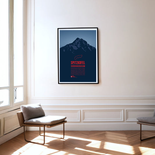
The Spitzkofel is the second-highest mountain in the Lienz Dolomites and is often described as the local mountain of Lienz. It consists mainly of limestone and shale and towers unmistakably above the Lienz basin. At its foot, at 1902 m, lies the Kerschbaumeralm, the starting point for the ascent of the mountain, which was inaugurated in 1926 with far-echoing gun salutes.
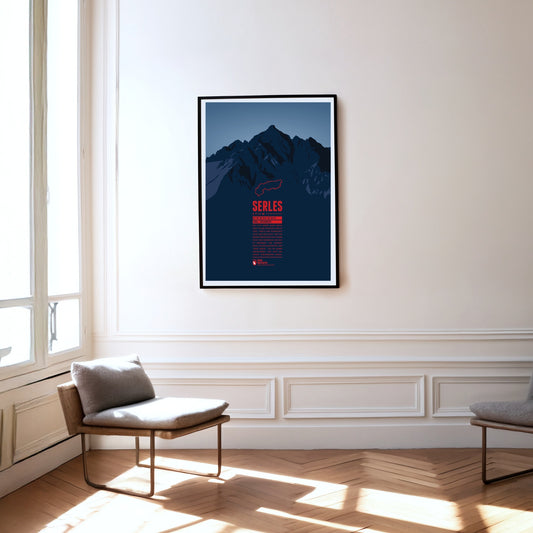
The 2717-metre Serles lies in the Stubai Alps in Tyrol. Thanks to its dominant position, the main summit and the two subsidiary peaks are clearly visible from Innsbruck in clear conditions. According to legend, the main summit, the "Serles giant", is a king turned to stone by God as punishment for his cruelty.
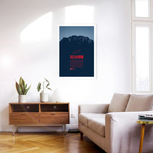
The Sella group is a very distinctive mountain massif in the Dolomites especially known for the Sellaronda. This ski circuit stretches over 42km, split into 26km on the slopes and 16km on lifts. The highest peak of the group is Piz Boè at 3,152m, which due to the compact shape of the whole group doesn't appear very prominently though.
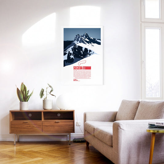
The Seceda lies in the Dolomites in South Tyrol, on the edge of the Puez-Odle Nature Park. From Ortisei in Val Gardena, the Seceda cable car runs up to the top station, about 70 metres below the summit. At the top the mountain offers a panoramic view over almost all of South Tyrol and beyond across Italy and Austria. The ski resort on the Seceda-Alm has one of the longest descents in the Dolomites: from just below the summit it runs more than 10 kilometres and over 1000 metres of vertical drop down to Ortisei.
At 2563 m, the Schlern is one of the landmarks of South Tyrol and the Dolomites thanks to its distinctive shape. The mountain is celebrated, among other places, in the “Bozner Bergsteigerlied”, one of the unofficial anthems of South Tyrol. According to legend, the Schlern witches get up to mischief around the mountain, causing storms and other misfortune above all.
Located in the Ammergau Alps, on the German-Austrian border, Säuling is the landmark mountain of the town of Füssen, which is situated in the north west. The summit offers a spectacular view of the nearby lakes, and also of the two castles of Hohenschwangau and world-famous Neuschwanstein. Even though the Säuling's summit appears rather pyramid-shaped, its name is presumably derived from the German word “Säule” (pillar), since the mountain rises up steeply above the surrounding area.
Situated in northeastern Switzerland Säntis is the highest mountain of the Alpstein massif with a height of 2501 m. It is the thirteenth most prominent mountain in the entire Alps. On the summit the borders of three Swiss cantons meet. On a clear day you can see six of the eight Alpine countries from there.
Presanella is the highest mountain of the Adamello-Presanella range in the Italian Alps. The first ascent was made by the British Douglas William Freshfield on 25th August 1864. Since the identity of his companions remains under dispute Freshfield is often named as the sole first climber of the mountain.
Pizzo Coca is the highest mountain of the Bergamo Alps, a cliffy mountain range falling steeply down towards the north. It is one of the southernmost three-thousanders of the Italian Alps. From the summit you have a stunning view over northern Italy. To the north one can see Piz Bernina, the easternmost four-thousander of the Alps.
The Pizol is a 2844 m high mountain in the Glarus Alps in the Swiss canton of St. Gallen. The Pizol hiking and skiing area on the north side of the mountain was accessible via Switzerland's oldest gondola lift, which has been replaced in 2007 with a modern lift. The Pizol is also a popular starting point for ski mountaineers.
Piz Palü is a well renowned mountain for cineasts. The movie “The White Hell of Pitz Palu” from 1929 portrays a mountaineer looking for the dead body of his wife who was hit by an avalanche. The name is probably derived from the Latin word “palus”, meaning “swamp”. The mountain than was named after the pasture Alpe Palü which lies four kilometers east of the summit.
Piz Buin is one of the most distinctive mountains of the Montafon, an Ill-valley in Vorarlberg. Being part of the Silvretta range the Austrian-Swiss border runs along the mountain summit. The Ill's headwaters are two glaciers on the Austrian side of the mountain. The ascent to the mountain becomes more difficult with the shrinking glaciers. During winter time however one can ski on beautiful trails all the way from the summit into the valley.
Piz Bernina is the only four-thousander in the Eastern Alps and the most isolated mountain in Switzerland. The first ascent was made by Johann Coaz in 1850. His journal entries show his love for the Alps: “Serious thoughts took hold of us. Greedy eyes surveyed the land up to the distant horizon, and thousands and thousands of mountain peaks surrounded us, rising as rocks from the glittering sea of ice. We stared amazed and awe-struck across this magnificent mountain world.”
The Peitlerkofel, or ”Sass de Pütia” in Ladin, is situated in the northern Dolomites. The two Summits, “Grosser Peitler” and the 60 meter lower subpeak “Kleiner Peitler”, rise up steeply between Val Badia and Villnöß valley. The Kleiner Peitler can be reached on a hike. In the south climbers find easy routes to the summit of the Grosser Peitler, which offers one of the greatest views in the Dolomites.
South Tyrol's highest summit is one of great historic importance. The first ascent took place in 1805 by command of the Archduke John of Austria, being one of the milestones of Alpinism. During World War I Austria-Hungary installed cannonry on the summit, the remains of which can still be seen by mountaineers today. The origin of the name is a matter of dispute. A legend tells that the mountain once was a giant turned into stone in rage over having been defeated by a dwarf.
Monte Viso is the highest mountain of the Cottian Alps. It exceeds all neighboring mountains by at least 500 metres in height and can be seen from a great distance. On the north face are the headwaters of the Po, Italy's longest river. This was one of the reasons making the area around the mountain a UNESCO biosphere reserve in 2013. On a clear day you can see the Milan Cathedral with field glasses from the summit. To the north the view goes as far as to the Matterhorn and Mont Blanc.
The highest mountain of the Maritime Alps is located only 50 km east of Nizza in one of the biggest nature parks of the Alps. The mountain itself seems quite unimpressive being framed by nearby mountain ranges. The regional park offers scenic hiking trails and is home to countless alpine marmots.
Mont Blanc is the highest mountain of France and in the Alps. It appears cliff-like from the south, whereas the impression from the north seems to be of a much rounder and more inviting summit. With a topographic prominence of 4696 meters, Mont Blanc is one of the eleven most prominent mountains on the globe. The community of Chamonix at the foot of the mountain hosted the first predecessor to the Winter Olympics in 1924. Today it is the starting point for a number of exciting freeride ski-runs.
If the perfect mountain exists, it must be the Matterhorn. Its solitary presence at the end of the Nikolai Valley and its almost perfect tetrahedral shape make the mountain a symbol for the beauty of the Alps and an object of projection for the challenges of Alpinism.
La Saulire is located in the world's biggest ski area “Les Trois Valléés”, on the border between the resorts “Courchevel” and “Méribel/Mottaret”. In winter tens of thousands of skiers pass the summit each day. Most of them use the groomed slopes. Only few are courageous enough to take the couloirs, some wild, steep, and narrow ski-runs in between the rocks.
La Meije, in the French Dauphiné Alps, is one of the best-known mountains of France, besides the Mont Blanc. For climbers the highest peak, la Grand Pic, is said to be one of the most challenging obstacles in the Alps. The first successful ascent was made in 1877. The name “Meije” is going back to the Provençal word “Meidjour”, meaning “midday”.
The Kitzsteinhorn is part of the Glockner Group in the High Tauern. The first summit ascent was made by Johann Entacher in 1828. The first Austrian glacier ski are was opened at the Kitzsteinhorn in 1965. An observation deck on 3029 metres offers an excellent view of the neighboring summits.
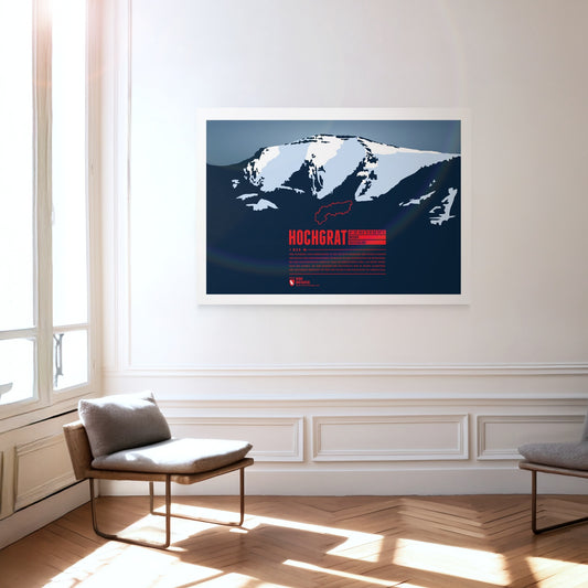
The iconic and local mountain of Oberstaufen is the highest peak of the Nagelfluhkette and of paramount importance for both tourism and geography. The aerial lift Hochgratbahn takes you up to about 125 metres below the summit. On the mountain slopes one can find many Alpine pastures. The Hochgrat mountain run is one of the sportive highlights in the district of Oberallgäu.
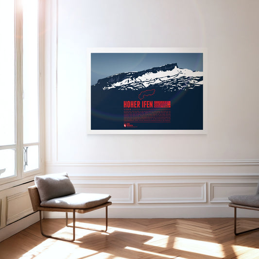
The Hoher Ifen, or Hochifen, is the highest point of the ifen plateau, which goes up tilted to the Ifenmauer, the northern rock face. Even though not being one of the highest summits of the Allgäu Alps, it offers a wide view over the German-Austrian border region. The Gottesacker (“God's Acre”) in the north, an almost moonscape-like karstic plateau, is particularly impressive. Today it is a nature reserve and home to rare animals and flowers. In 1998 a dwelling site from the Stone Age on the eastern flank was discovered, and later excavated.
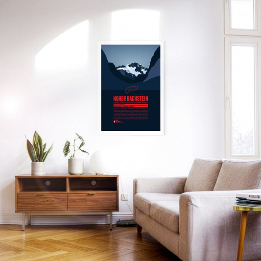
Hoher Dachtsein is the highest mountain of the Dachstein Mountains and also the highest peak of the Austrian states of Upper Austria and Styria. The mountain's south face is famous for its steep cliffs falling down about 1000 metres. The aerial tramway Dachstein-Südwandbahn takes you from Ramsau in Styria to the southern part of the Dachstein massif. For the construction of the lift a part of the subpeak Hunerkogel was blown up in the 1960s.
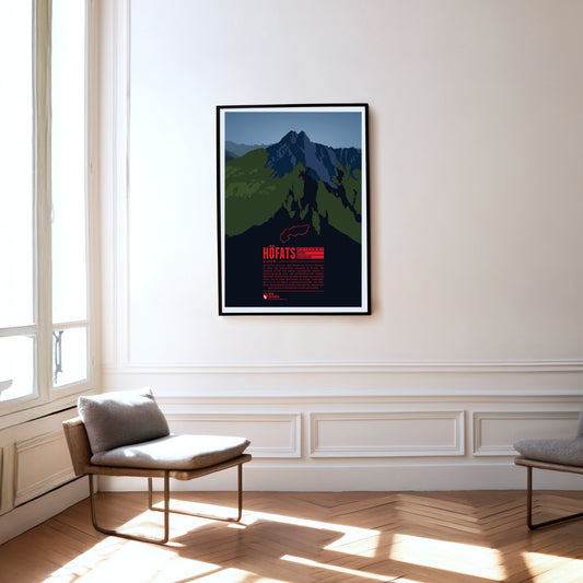
The Höfats, also known as “the Matterhorn of the Allgäu”, is the Allgäu's most characteristic grass mountain. Ascending the four, almost equally high summits is very challenging, due to very steep grass and schrofen faces. The reward is a unique flora, which has no resemblance anywhere else in the Allgäu. In 1911 a protected area for plants was established around the Höfats. The edelweiss, which had been almost extinct, can nowadays be found again, in clusters of 30 blossoms and more.
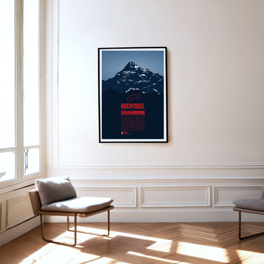
The Hochvogel is not the highest mountain of the Allgäu Alps, but one of its most iconic and best-known summits. It offers a breathtaking panoramic view from the top. To the east you can see Wetterstein and Karwendel, to the south the view takes you up to the High Tauern. In the west the Swiss Alps with Säntis and Tödi show and in the north you can see the Black Forrest and the Swabian Jura.
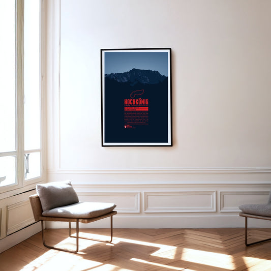
Hochkönig is the highest mountain massif of the Berchtesgarden Alps south of the German-Austrian border and one of the most prominent peaks in the Alps. The massif appears especially impressive seen from the south. The summit is covered by the “Übergossene Alm”, a glacier which has shrinked severely over the last decades.
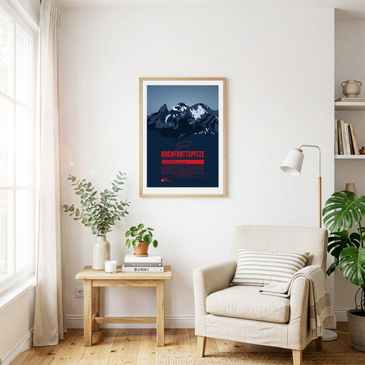
The Hochfrottspitze is the highest mountain on the German side of the Allgäu Alps. Trettachspitze, Mädelegabel and Hochfrottspitze form the famous triumvirate of peaks. The cliffy wilderness on the south side used to be called “Frut”, from which the mountain probably received its name. Inhabitants of nearby Oberstdorf also call the mountain one of the three Trettach peaks.
The Gspaltenhorn is part of the Bernese Alps and rises up to 3436 m. The mountain rock consists mainly of limestone which gives the surface a cliffy and cragged shape. The name comes from the German word “gespalten”, meaning “split” or “cleft”. For climbers the Gspaltenhorn offers multiple routes to the summit with varying degrees of difficulty.
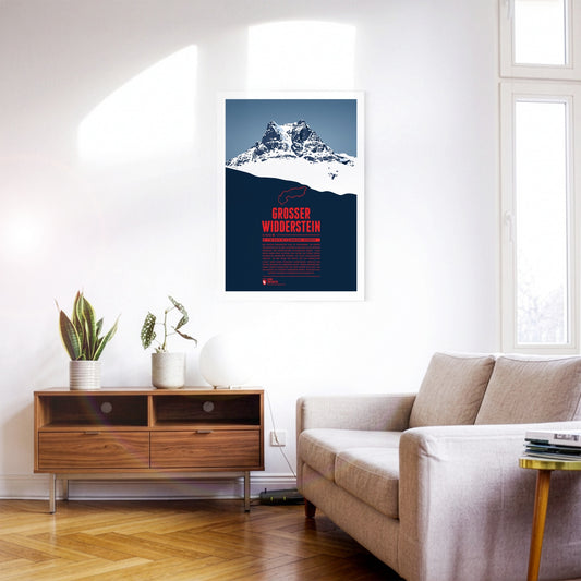
The Großer Widderstein, situated in the Austrian state of Vorarlberg, is part of the Allgäu Alps and the highest peak of the Kleinwalstertal and the Southeastern Walsertal Mountains. When making a summit attempt one might cross the path of ibexes. It is still disputed though whether the name of the mountain refers to a male ship or an ibex, both being called “Widder” in German. South of the mountain lies the municapility of Warth. Its ski area Warth-Schröcken has been connected with the area Ski Arlberg since the winter of 2016 / 2017, thus making it Austria's largest ski resort.
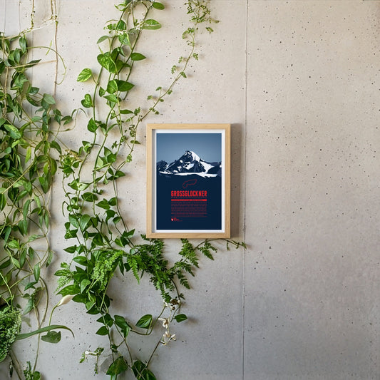
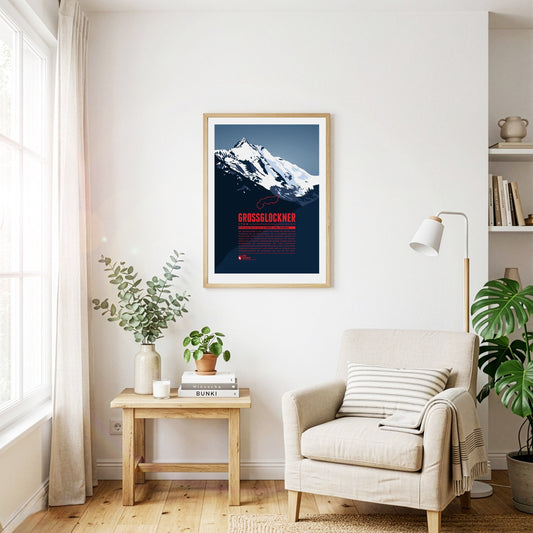
The Grossglockner or Glockner is Austria's highest mountain and one of the most prominent mountains on earth. The view of the summit still fascinates people today. The name of the mountain is probably derived from its bell (German: “Glocke”) -like shape. Besides the first successful summit ascent in 1800 fron Heiligenblut the ascent via the southwest ridge (Stüdlgrat) from Kals, made by the merchant Johann Stüdl, was one of the mile stones in the climbing history of the Grossglockner. Today more than 20 routes with varying difficulties lead to the summit from both Tyrol and Carinthia. This mountain print shows the view of the Großglockner from Tyrol. We also created a mountain print with the view from Carinthia, see Großglockner (Kärnten).
With a height of 3798 metres the Grossglockner is Austria's highest mountain. Its topographic isolation of 175 kilometres makes it one of the most dominant summits in all of Europe. The view of the summit from the Grossglockner High Alpine Road is famous and has been fascinating mountaineers, hikers and travellers for centuries. The first successful ascent to the summit by Prince-bishop Salm-Reifferscheidt-Krautheim was a major achievement in the history of Alpinism. Today more than 20 routes with varying difficulties lead to the summit from Heiligenblut and from Kals. This mountain print shows the view of the Großglockner from Carinthia. We also created a mountain print with the view from Tyrol, see Großglockner (Tirol). Großglockner (Tirol).
The Großes Wiesbachhorn is often seen as the most beautiful three-thousander and a rival to the Großglockner. Even though the mountain is part of the Glockner Group its upper part is quite isolated and allows for a spectacular view of the Fusch valley 2400 m below. The first ascent of the Northwest Face in 1924 is of major importance for Alpinism since for the first time ice nails were used, which were later further developed into ice screws, still being used today.
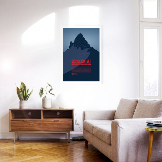
Große Kinigat or Monte Cavallino, lying on the border between East Tyrol and the Italian Province of Belluno, was supposed to be sold in 2011. After heavy protests the Austrian government abandoned these plans. The mountain is easy to climb and offers a great panoramic view up to Großvenediger and Großglockner, one of the highlights on the Carnic High Elevation Trail which follows the border between Italy and Austria over 155 kilometres.