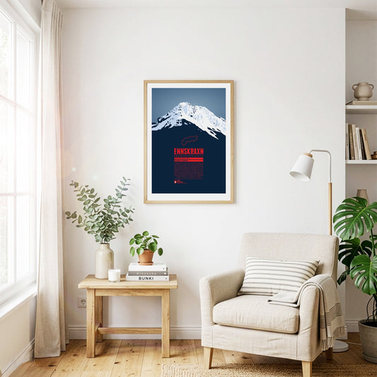
The Ennskraxn is not the highest mountain in Salzburg’s Kleinarl valley, but it is one of the most striking summits in the area. It is part of the Radstadt Tauern, a western subgroup of the Niedere Tauern. Locals simply call the mountain ‘Krax’. The Enns, Austria’s longest inland river, rises east of the summit. Trips around the mountain are especially colourful in early summer, when the hairy alpenrose – known locally as ‘Almrausch’ – is in bloom.
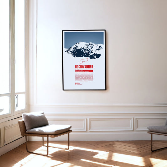
The Hochwanner, on the border between Bavaria and Tyrol, is Germany’s highest point outside the Zugspitze massif. Its impressive north face drops more than 1400 metres towards the Reintal. The first ascent was made in 1870 by what is now the normal route from the south, out of Tyrol. In the summer months there is a good chance of meeting the marmots that live here during the climb. At the top, a fine view opens up over neighbouring mountains such as the Alpspitze to the north and the Mieming Chain to the south.
The Parseierspitze is the only three-thousand-metre peak in the Northern Limestone Alps and the highest mountain of the Lechtal Alps. It rises above the Inn valley as a jagged tower of rock. The name of the mountain and of the Parseier valley probably goes back to the Romance word ‘presür’, which described the gate of an alpine pasture.
The Linker and Rechter Fernerkogel are two peaks north-east of the Wildspitze, with the Mittelbergferner glacier between them. The Linker Fernerkogel is a popular tour destination in both summer and winter. The normal route leads to the summit from the north, starting at the Braunschweiger Hütte. The area is also used for glacier mountaineering courses.
The Kräuterin is a striking dome of the Hochstadl and the highest point of the Ybbstal Alps. The summit rises north of the Salza valley, which separates it from the Hochschwab group. The Kräuterin is rugged and rocky and has several subsidiary peaks, with wide alpine meadows stretching between them.
The Piz Val Gronda lies in the Samnaun group, right on the border between Austria and Switzerland. On Swiss territory in the Fimba valley, south-west of the summit, stands the Heidelberger Hütte, the starting point for ski tours and the most important base for walking up the mountain. From here the summit can be reached without difficulty in about two hours.
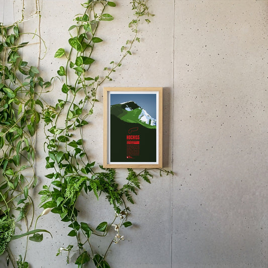
The Hochiss is the highest summit of the Brandenberg Alps and lies on the main crest of the small Rofan group, a subgroup of the Brandenberg Alps in Tyrol east of the Achensee. The name Hochiss derives from the dialect word ‘Iss(e)’, meaning a pasture or a high alpine grazing ground.
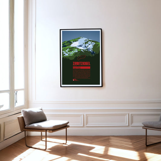
The Zirbitzkogel is the highest mountain of the Seetal Alps and very well developed for visitors, with plenty of huts and accommodation. Walking paths lead up from every direction, passing several small lakes and shortening the ascents considerably. The Zirbitzkogel is also known for its rich fauna and flora: Swiss stone pines grow on its slopes, and at higher altitudes spignel and alpenroses thrive. Very rare species of butterfly and breeding grounds of the Eurasian dotterel are found around the mountain too.
The Mittagskogel (Slovenian: Kepa) is one of the highest mountains in the western Karawanks. The rock pyramid on the border between Carinthia and Slovenia belongs to the main crest of the western Karawanks. Its flattened summit gives the Mittagskogel an almost volcanic appearance. Names such as Mittagskogel, Mittagsgipfel, Mittagsberg or Zwölferberg are common in the Alps: they denote a mountain standing south of a larger settlement, pointing at the sun like the hand of a clock at twelve.
The Kreuzjoch is the highest mountain of the Kitzbühel Alps and at the same time their south-western cornerstone. The Zillertal begins west of the mountain, the Gerlostal to the south-east. The summit is easy to climb: cable cars run up the mountain from both Gerlos and Zell am Ziller, though not quite to the top.
The Weißseespitze is a mountain in the Weißkamm of the Ötztal Alps on the border between Tyrol and South Tyrol. It lies east of Lake Reschen at the end of the Langtaufers valley (Italian: Vallelunga). The border between Austria and Italy runs across the summit. In Italian the mountain is known as ‘Cima del Lago Bianco’ – a literal translation of the German name.
The Weißkugel is the third-highest mountain in Austria. Its position directly on the main Alpine crest also makes it the highest summit on the Austrian-Italian border. Four summit ridges meet on the Weißkugel, with glaciers between them. One of them, the Hintereisferner, has been studied scientifically for more than 100 years – one of the longest continuous time series in glacier research.
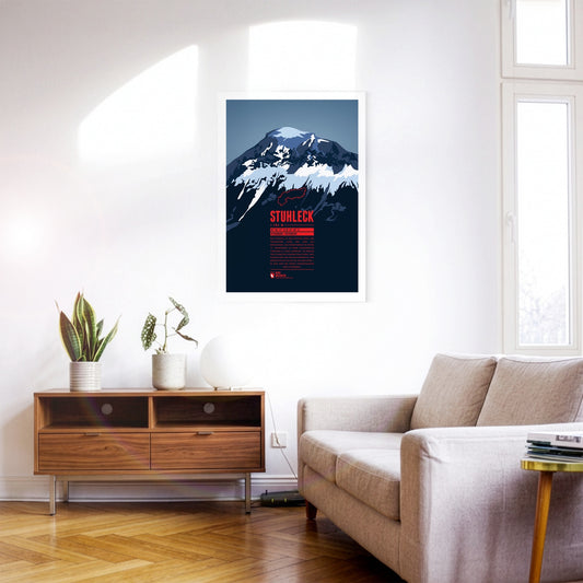
The Stuhleck is the highest summit of the Fischbach Alps and very well developed. That led to pronounced tourism in every season as early as the late 19th century. In February 1892 the pioneers Toni Schruf, Max Kleinoscheg and Walther Wenderich climbed to the summit on skis from Mürzzuschlag – one of the first ski ascents of an Alpine mountain.
The Reisalpe is the highest mountain of the Gutenstein Alps. There is rock only on the south-west and north sides; otherwise the mountain is almost entirely covered by forest, meadows and grazed alpine pastures. The crumbling Hirschenmauer in the south-west drops away from the pasture land and forms a large scree slope, where there is a danger of falling and of rockfall. The Hirschenmauer probably gave the mountain its name: the friable rock ‘trickles’ – rieselt – from the alp down into the valley.
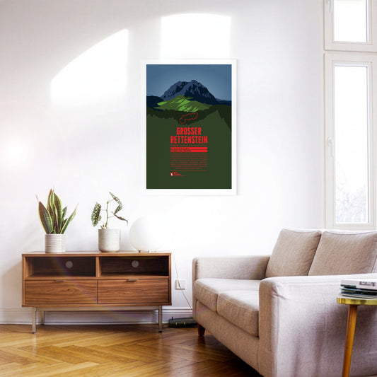
The Großer Rettenstein is the most striking summit of the Kitzbühel Alps. Its rocky summit pyramid is an imposing sight, rising a good 400 metres above the surrounding grassy mountains. It is also called the ‘Kitzbühel Matterhorn’, even though it is barely half as high and bears a certain resemblance to its famous Swiss namesake only when seen from the north.
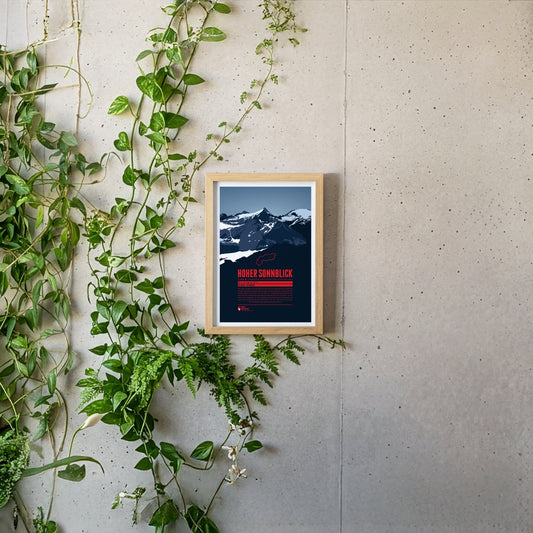
The Hoher Sonnblick is the highest mountain of the Goldberg group in the Hohe Tauern. The group’s name goes back to the gold-mining history of the region. The gold extracted from the 13th to the early 19th century was one of the foundations of the wealth of the Archbishopric of Salzburg. In more recent times the Sonnblick has suffered badly from climate change: the glaciers are melting and the permafrost is thawing. In 2003 the summit was stabilised with shotcrete and rock anchors.
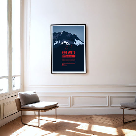
The Hohe Warte (Italian: Monte Coglians) lies on the border between Carinthia and Friuli-Venezia Giulia in Italy. It is the highest point of the Carnic Alps and forms an impressive massif together with its neighbouring peaks Kellerspitzen, Kellerwarte, Seewarte and Kollinkofel. The summit is best reached from the Italian side via the Rifugio Marinelli.
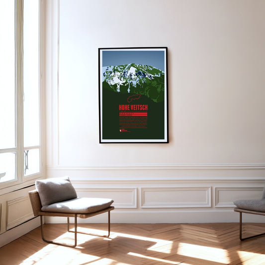
The Hohe Veitsch, the highest summit of the Mürzsteg Alps in Styria, lies east of the Mürz valley and west of the Aflenzer Seeberg and the Rax. It is a whole massif, its elongated plateau running from west to east. There is no mountain railway here, but the way to the summit is – given a little stamina – quite straightforward.
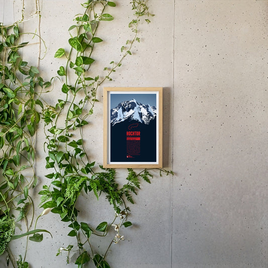
Hochtor is the highest mountain of the Ennstal Alps in Styria. From the banks of the Enns on the edge of the Gesäuse National Park, the Hochtor towers up almost like a Dolomite peak. Anyone wanting to reach the summit via the 900-metre north-west face should be a competent climber. The normal route from the Johnsbach valley to the south is not entirely easy either and requires a head for heights and climbing skills.
The Hochschwab is the highest mountain of the Hochschwab group in Styria, east of the Gesäuse national park. The Hochschwab group is a largely bare, karstified plateau range. The plateau drops away to the south in a steep wall about 300 metres high and two kilometres wide. The caves running through the massif are typical of a karst range as well.
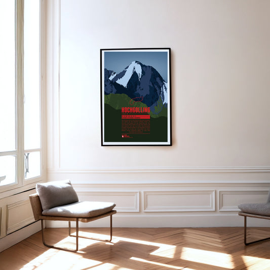
The Hochgolling is the highest mountain in the Schladming Tauern and in the Niedere Tauern as a whole. The massive rock pyramid with its striking, steeply falling ridges rises above the Untertal and the Lesachtal, stretching from the state of Salzburg in the west across into Styria in the east. The eye-catcher of this mountain of dark rock, steep on every side, is its north face of around 1000 metres.
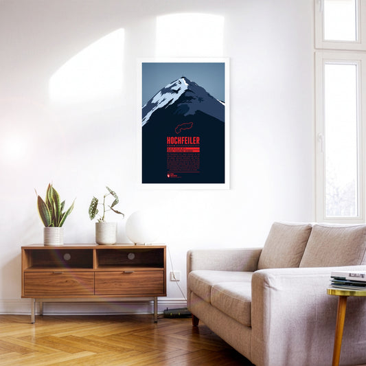
The Hochfeiler (Italian: Gran Pilastro) is the highest mountain in the Zillertal Alps and lies on the border between Austria and Italy. It has two very different sides. From the Schlegeis reservoir the eye falls on an icy, forbidding north face. Anyone approaching from the south-west out of the Pfitsch valley, by contrast, sees the flanks of the Hochfeiler running comparatively gently down towards the valley.
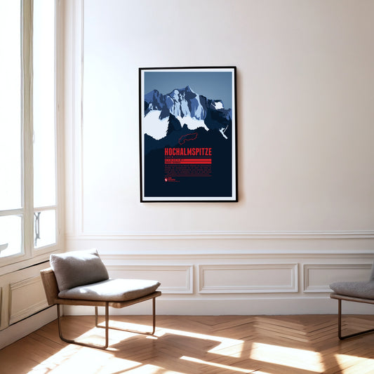
The Hochalmspitze is the highest point of the Ankogel group. While the Großglockner is often called the king of the Tauern, the Hochalmspitze – helped by its feminine article in German – is known as the princess of the Tauern. That suits her white glacier gown, which surrounds her below her long ridges.
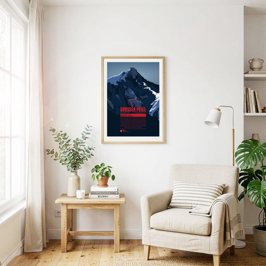
The Großer Priel is the highest point of the Totes Gebirge. The summit lies in the north-eastern, Upper Austrian part of the range. Its position on the edge makes the mountain visible from far across the Alpine foreland to the north and east, for example from the state capital Linz some 60 kilometres away. A summit cross about eight metres high was erected on the Großer Priel in 1870. In 2009, a year after a severe thunderstorm badly damaged the cross, a replica was put up on the mountain.
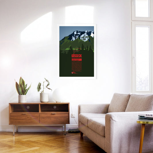
The Gößeck is the northernmost and highest summit of the Reitingstock in Styria. It is also the highest point of the Eisenerz Alps, the southern part of the Ennstal Alps. In spring the overgrown slopes of the Reiting make the massif one of the finest flower mountains in Styria: more than 70 species of orchid grow around it. The wildlife is varied too – red deer live here alongside chamois and ibex.
Gamsfeld is the highest mountain and the only two-thousander in the Salzkammergut Mountains. The slopes of Gamsfeld below the dome-shaped summit drop steeply in all directions, making ascents somewhat demanding. The efforts are rewarded with a breathtaking view of the noticeable higher mountains of the Dachstein massif in the south and the lakes of the Salzkammergut in the north. Gamsfeld is also known for the lush Alpine flora on its slopes. Alpine roses can form dense carpets of flowers during their bloom.
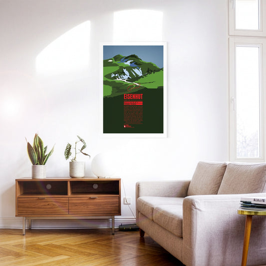
Eisenhut, “the Iron Hat”, is the highest peak of the Gurktal Alps and the Nock Mountains. It is located in Styria close to the border with Carinthia in the south. As the name suggests, iron ore used to be mined around the Eisenhut. Mining in the region has been documented since the 13th century. Today, tourism is an important economic factor, especially with the ski resort Turracherhöhe, south-west of the Eisenhut.
The Schesaplana is rising close to the southern tripoint between Switzerland, Austria, and Liechtenstein. Situated in the center of the Alps and being the high point of the Rätikon the summit offers a view over hundreds of Alpine mountains up to the Pennine Alps, Ötztal Alps, the Zugspitze massif, and beyond. On the way to the mountain top different mountain huts can be passed, such as the Mannheimer Hütte in the north behind the Brandner Glacier, the Douglashütte at the Lünersee in the east, or the Schesaplanahütte in the south.
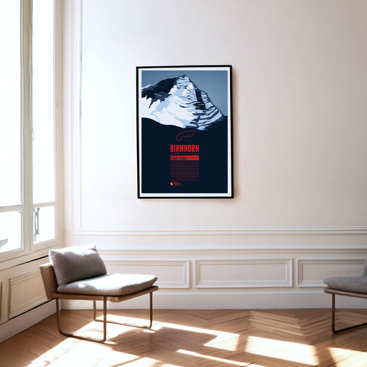
The Birnhorn is the highest point of the Leoganger Steinberge and one of the 30 most prominent summits in the Alps. It rises almost 2000 metres above the valley of the Leoganger Ache to its south. The mountain’s south-east face, around 1400 metres high, is one of the highest rock faces in the Eastern Alps and is even compared to the famous east face of the nearby Watzmann.
South-east of Bad Reichenhall lies the Untersberg, the northernmost massif of the Berchtesgaden Alps. The German-Austrian border runs across its extensive summit plateau. At 1972 metres, the Berchtesgadener Hochthron is its highest peak. The whole massif is riddled with karst caves: Germany's deepest and longest known cave is found here, as is the country's only show ice cave. The famous Untersberg marble has been quarried on the northern slopes of the massif since Roman times.
South-east of Klagenfurt, close to the Slovenian border, the Obir massif rises in the Karawanks. Its highest elevation is the Hochobir. Because of the ore deposits around the Obir, mining was probably carried out here from the 12th century until the end of the 19th. In the process the Obir dripstone caves were discovered – today a protected monument – which were partly damaged by the mining work. Until 1947 the summit of the Obir was also home to one of the first weather stations in the Alps.
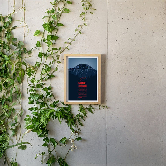
South of the German-Austrian border, the Guffert rises with its rocky twin summit. The free-standing mountain is prominently visible from the Tegernsee. With varied paths and easy climbing sections it is a popular destination for day tours. From the summit plateau a far-reaching view opens up over the Bavarian Prealps, the Wetterstein range, the Karwendel and the Hohe Tauern.