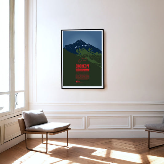
The Biberkopf (beaver's head) rises at the end of the main ridge of the Allgäu Alps and is considered to be Germany's most southern mountain. The border to Austria runs along the distinctive summit. The name of the mountain goes back to larger beaver colonies that populated the nearby Lechtal and the surrounding high moors. Beavers are also part of the traditonal womens' costumes of the area which include beaver hats.
Southwest of Oberstdorf, on the border between Bavaria and Vorarlberg the Söllereck rises as the northernmost summit of the Fellhorn ridge. The mountain is thus situated between the entries to the valleys Kleinwalsertal in the west and Stillachtal in the east. Via the Söllereckbahn aerial lift one reaches the summit station on 1358 meters. In the winter it is part of the ski area Oberstdorf / Söllereck.
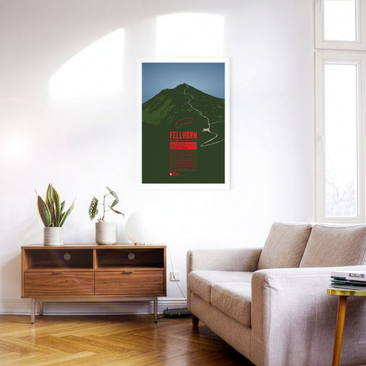
The Fellhorn is known as the flower mountain of the Allgäu Alps, especially due to the large fields of alpenroses on its slopes. As part of the Schafalp-group in previous times the mountain was also known under the name “Schlappolder Spitz”. From the Stillachtal valley the aerial lift Fellhornbahn takes visitors to a height of about 70 meters below the summit.
Even though Patscherkofel is neither a particularly high peak in its area, nor considered very beautiful, its location south of Innsbruck make it the home mountain of the city. The transmission tower “Sender Patscherkofel” on the top rises another 67 meters above the summit. Patscherkofel became known to an international audience during the Olympic Winter Games of 1964 and 1976 when the Alpine ski competitions took place on the slopes of the mountain.
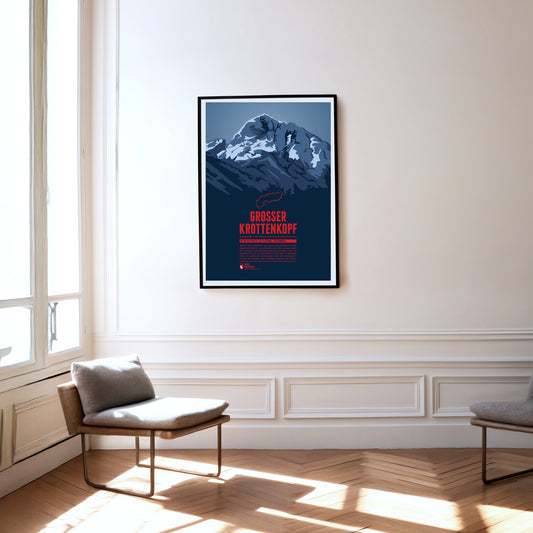
The Großer Krottenkopf is situated in Tyrol, south of the Bavarian town Oberstdorf. It is the highest point of the Hornbach Chain and the highest summit of the entire Allgäu Alps. The normal route to the Krottenkopf leads from the Alpine club hut Kemptner Hütte via the col Krottenkopfscharte, about 300 meters below the summit on the southern ridge of the mountain.
The Rax massif is located north of the Semmering Pass and is part of the Rax-Schneeberg group. The highest point of the mountain plateau is the Heukuppe. In 1894 Fritz Benesch developed the first grading system for alpine climbs at the Rax. In addition, after a disastrous avalanche the world's first mountain rescue service was founded here in 1896.
The Nordkette, also known as Northern Chain or Inn Valley Chain, is the southernmost mountain chain in the Karwendel. Its highest summit is Kleiner Solstein, which is nearly 100 meters higher than neighbouring Großer Solstein. The via ferrata Innsbrucker Klettersteig leads over seven summits of the chain, from Seegrubenspitze via Langer Sattel to the summit named Frau Hitt.
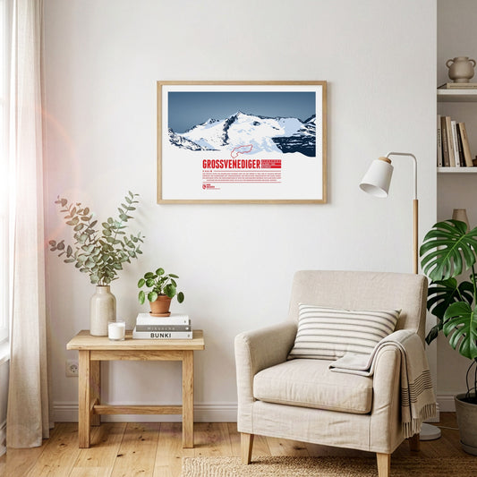
The highest summit of the Austrian state Salzburg lies on the border to Tyrol and is the high point of the Venediger Group, the westernmost mountain range of the High Tauern. The Großvenediger's characteristic summit is determined by its glaciers and the prominent ridges, running along towards all four cardinal points of the compass.
Der Olperer ist mit 3476 Metern Höhe der dritthöchste Gipfel der Zillertaler Alpen in Tirol sowie die höchste Erhebung des Tuxer Kamms. Von Osten gesehen erscheint der Berggipfel als nahezu perfekte Felspyramide. Die Besteigung des Olperers über die Normalroute von Südosten ist mit einfachen Kletterpassagen zu bewerkstelligen. Anspruchsvoller ist der Weg von der Geraer Hütte über Olpererferner, Wildlahnerscharte und schließlich den Nordgrat des Bergs.
The Vesulspitze is located east of Ischgl in Tyrol and is part of the Samnaun Alps. Apart from the Piz Rots on the Swiss-Austrian border it is the highest peak of the mountain range on the Austrian side. When standing on top of the Vesulspitze one can not only admire the mighty wooden summit cross. As a relatively free-standing Three-thousander it also offers a great panorama of the surrounding mountains and valleys.
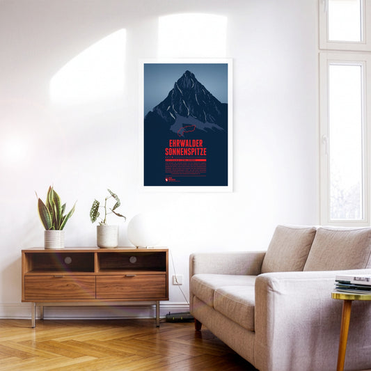
Seen from the north the Ehrwalder Sonnenspitze rises as a distinctive stone pyramid in front of the other summits of the Mieming Range. East of the summit is the beautiful lake Seebensee, which offers a great view onto the Zugspitze in the Wetterstein mountains. The Alpine hut Coburger Hütte at the Drachensee in the south is a popular starting point for summit attempts of the Sonnenspitze.
Visible from far away, the Ötscher rises to a height of 1893 meters in the Ybbstal Alps, in the east of the Northern Limestone Alps. The Ötscher appears especially impressive when viewed from the north or south, when you can see the mountain massif in its full extension. The name of the mountain goes back to Slavic inhabitants, living in the area in the 9th century, who called the mountain “Othza” (father mountain). All year round Ötscher is a popular destination for hikers and climbers. The ski area Lackenhof is situated north west of the summit.
The Lugauer rises far over 1000 meters west of the Radmer valley. The distinctive double summits western slope is not as steep and especially popular among many of the skiriders which visit the mountain each year. The great panorama from the summit is reflected in the name of the mountain. “Lug auer” in the local dialect can be translated as “look down”.
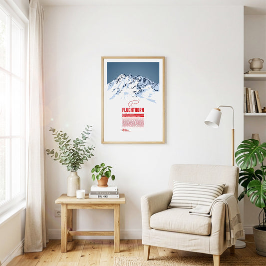
The Fluchthorn has three major peaks, of which the southern summit, Südliches Fluchthorn, was the highest at 3399 meters for a long time. However, after a massive rockfall on the southern summit in June 2023, which tore the summit cross with it, the middle peak, Mittleres Fluchthorn, has become the highest point of the mountain. Not only does the border between Austria and Switzerland run across the Fluchthorn peaks, but also the border between the German and Romansh language areas. In Romansh, the Fluchthorn is known as Piz Fenga.
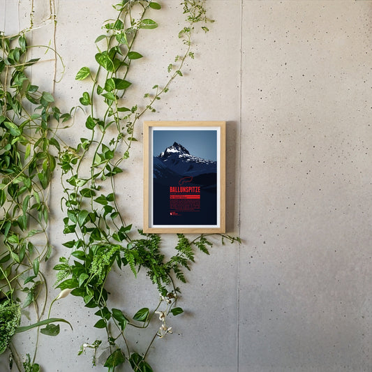
The Ballunspitze is well-known among the visitors of the ski resort Galtür, which is situated in Tyrol on the northern slopes of the mountain, near the town of Wirl. The chairlift Ballunspitzbahn gets you up to 2200 meters. West of the ski area, in Vorarlberg, the Kops water reservoir can be found, which was constructed in the 1960s. South of the Ballunspitze the Threethousanders of the Silvretta Alps dominate the view.
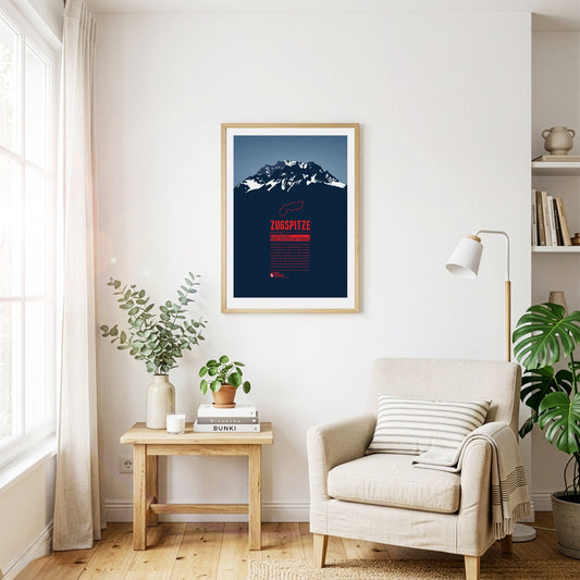
The Zugspitze is Germany's highest mountain and the highest peak of the Wetterstein Mountains. Below the summit there is a ski area and three glaciers which will probably disappear in the years to come in course of the climate change. An asteroid has been named after the Zugspitze. On the summit which can be reached with three different aerial lifts there is even a little theme park.
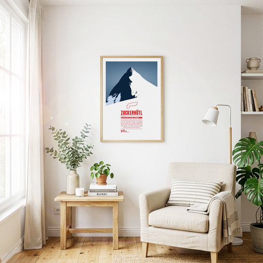
Das Zuckerhütl an der Grenze zu Südtirol ist einer der charakteristischsten Berge der Alpen. Seine Nordseite wird vom mächtigen Gletscher Sulzenauferner bedeckt, während er zum Süden hin hunderte Meter schroff abfällt. Von seinem Gipfel aus kann man bei gutem Wetter bis zum Ortler schauen, an seinen Hängen die Pisten des Stubaitals genießen.
Die Wildspitze ist der zweithöchste Berg Österreichs und der höchste Berg der Ötztaler Alpen. Durch die große Schartenhöhe ist die Aussicht von der Wildspitze praktisch nur durch die Erdkrümmung begrenzt und reicht von den Berner Alpen im Westen, mit Bietschhorn und Aletschhorn, bis zur Schobergruppe im Osten. Im letzten Jahrhundert war der Nordgipfel der höhere Gipfel der Wildspitze, dieser ist aber abgeschmolzen. Heute ist der Südgipfel der höchste Punkt des Berges.
Despite its comparatively modest height, the Wilder Kaiser is one of the landmarks of the Eastern Alps thanks to its prominence and easy accessibility. The Kaiser range is a popular destination for climbers and skiers alike. Pioneers such as Hans Dülfer developed entirely new climbing techniques here, and the "Wilder Kaiser/Brixental" ski area, one of the largest in Austria, extends across its slopes.
Thanks to its forward position and striking silhouette, the Traunstein is often called the guardian of the Salzkammergut – in good weather it can be spotted from over 150 km away. At 1691 m it may be small fry among the mountains of the Alps, but its beauty has always attracted prominent visitors. Emperor Franz Joseph came here regularly to hunt chamois.
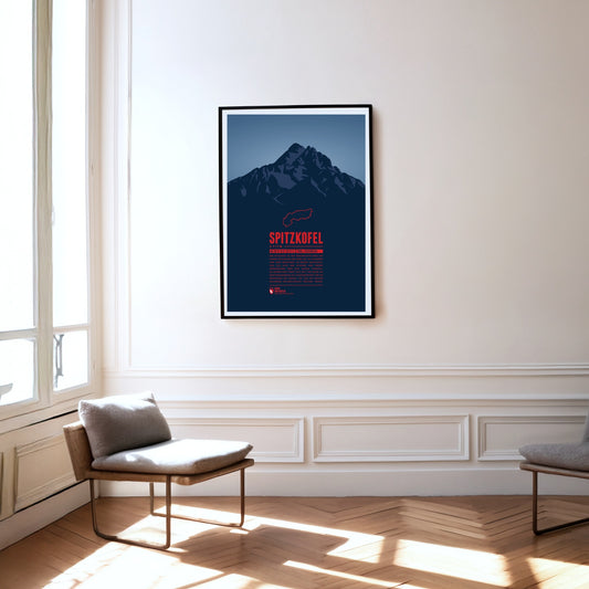
The Spitzkofel is the second-highest mountain in the Lienz Dolomites and is often described as the local mountain of Lienz. It consists mainly of limestone and shale and towers unmistakably above the Lienz basin. At its foot, at 1902 m, lies the Kerschbaumeralm, the starting point for the ascent of the mountain, which was inaugurated in 1926 with far-echoing gun salutes.
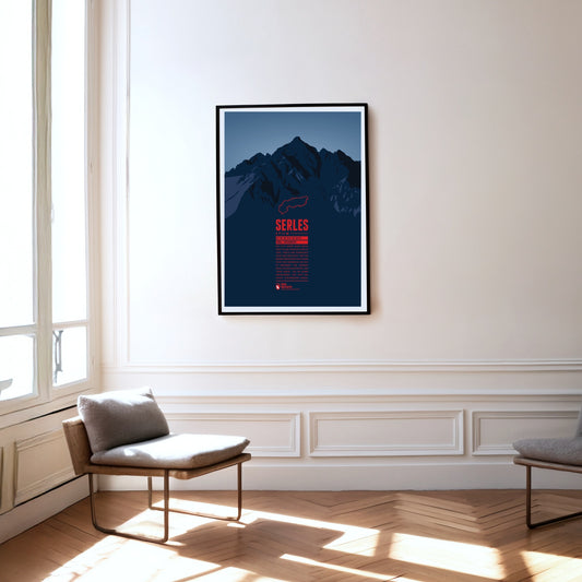
The 2717-metre Serles lies in the Stubai Alps in Tyrol. Thanks to its dominant position, the main summit and the two subsidiary peaks are clearly visible from Innsbruck in clear conditions. According to legend, the main summit, the "Serles giant", is a king turned to stone by God as punishment for his cruelty.
At 2076 m, the Schneeberg is the highest mountain in Lower Austria and the easternmost two-thousand-metre peak in the Alps. After the Großglockner it has the greatest dominance of all Austrian mountains. In good visibility you can see the capital, Vienna, from the summit. For its residents the mountain is a popular destination close to home.
Located in the Ammergau Alps, on the German-Austrian border, Säuling is the landmark mountain of the town of Füssen, which is situated in the north west. The summit offers a spectacular view of the nearby lakes, and also of the two castles of Hohenschwangau and world-famous Neuschwanstein. Even though the Säuling's summit appears rather pyramid-shaped, its name is presumably derived from the German word “Säule” (pillar), since the mountain rises up steeply above the surrounding area.
Piz Buin is one of the most distinctive mountains of the Montafon, an Ill-valley in Vorarlberg. Being part of the Silvretta range the Austrian-Swiss border runs along the mountain summit. The Ill's headwaters are two glaciers on the Austrian side of the mountain. The ascent to the mountain becomes more difficult with the shrinking glaciers. During winter time however one can ski on beautiful trails all the way from the summit into the valley.
The Kitzsteinhorn is part of the Glockner Group in the High Tauern. The first summit ascent was made by Johann Entacher in 1828. The first Austrian glacier ski are was opened at the Kitzsteinhorn in 1965. An observation deck on 3029 metres offers an excellent view of the neighboring summits.
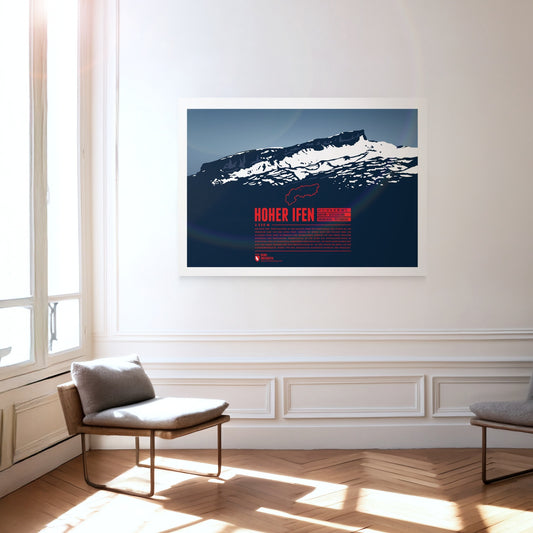
The Hoher Ifen, or Hochifen, is the highest point of the ifen plateau, which goes up tilted to the Ifenmauer, the northern rock face. Even though not being one of the highest summits of the Allgäu Alps, it offers a wide view over the German-Austrian border region. The Gottesacker (“God's Acre”) in the north, an almost moonscape-like karstic plateau, is particularly impressive. Today it is a nature reserve and home to rare animals and flowers. In 1998 a dwelling site from the Stone Age on the eastern flank was discovered, and later excavated.
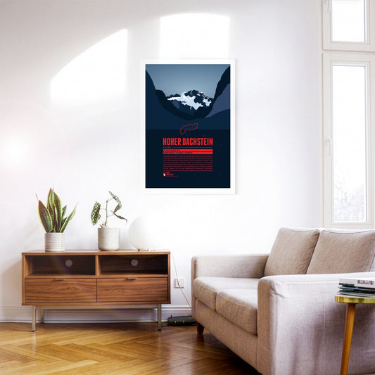
Hoher Dachtsein is the highest mountain of the Dachstein Mountains and also the highest peak of the Austrian states of Upper Austria and Styria. The mountain's south face is famous for its steep cliffs falling down about 1000 metres. The aerial tramway Dachstein-Südwandbahn takes you from Ramsau in Styria to the southern part of the Dachstein massif. For the construction of the lift a part of the subpeak Hunerkogel was blown up in the 1960s.
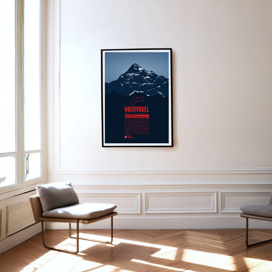
The Hochvogel is not the highest mountain of the Allgäu Alps, but one of its most iconic and best-known summits. It offers a breathtaking panoramic view from the top. To the east you can see Wetterstein and Karwendel, to the south the view takes you up to the High Tauern. In the west the Swiss Alps with Säntis and Tödi show and in the north you can see the Black Forrest and the Swabian Jura.
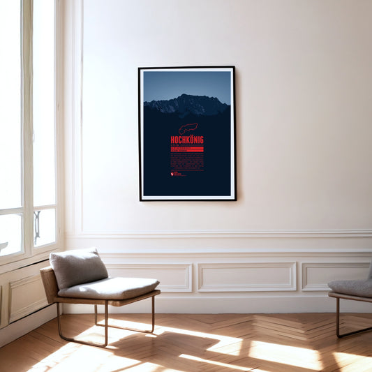
Hochkönig is the highest mountain massif of the Berchtesgarden Alps south of the German-Austrian border and one of the most prominent peaks in the Alps. The massif appears especially impressive seen from the south. The summit is covered by the “Übergossene Alm”, a glacier which has shrinked severely over the last decades.
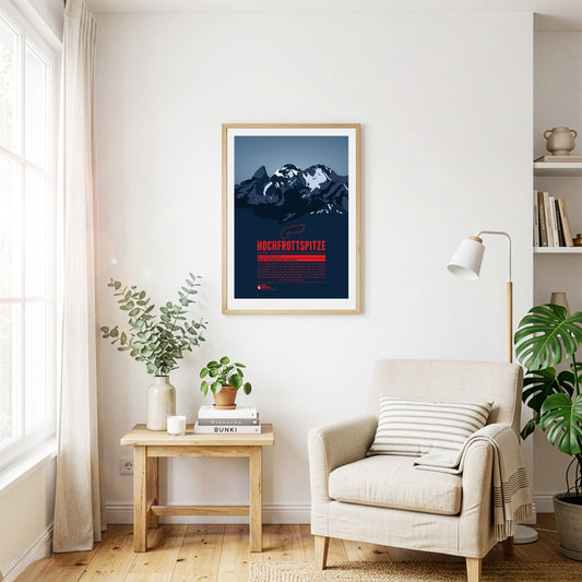
The Hochfrottspitze is the highest mountain on the German side of the Allgäu Alps. Trettachspitze, Mädelegabel and Hochfrottspitze form the famous triumvirate of peaks. The cliffy wilderness on the south side used to be called “Frut”, from which the mountain probably received its name. Inhabitants of nearby Oberstdorf also call the mountain one of the three Trettach peaks.
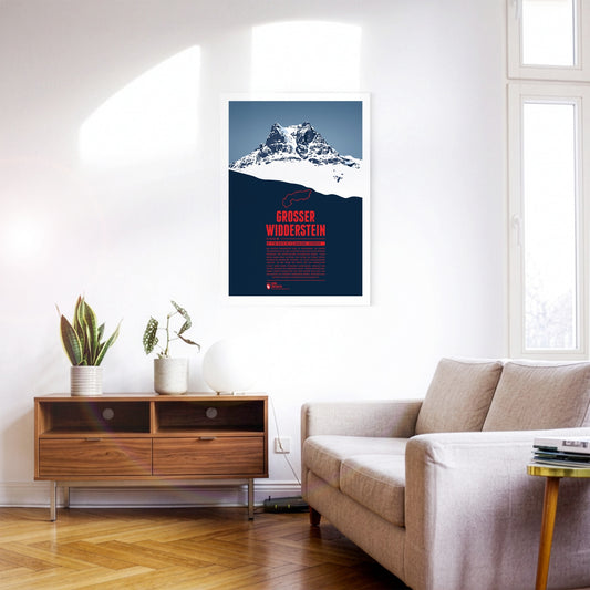
The Großer Widderstein, situated in the Austrian state of Vorarlberg, is part of the Allgäu Alps and the highest peak of the Kleinwalstertal and the Southeastern Walsertal Mountains. When making a summit attempt one might cross the path of ibexes. It is still disputed though whether the name of the mountain refers to a male ship or an ibex, both being called “Widder” in German. South of the mountain lies the municapility of Warth. Its ski area Warth-Schröcken has been connected with the area Ski Arlberg since the winter of 2016 / 2017, thus making it Austria's largest ski resort.
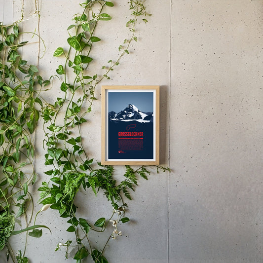
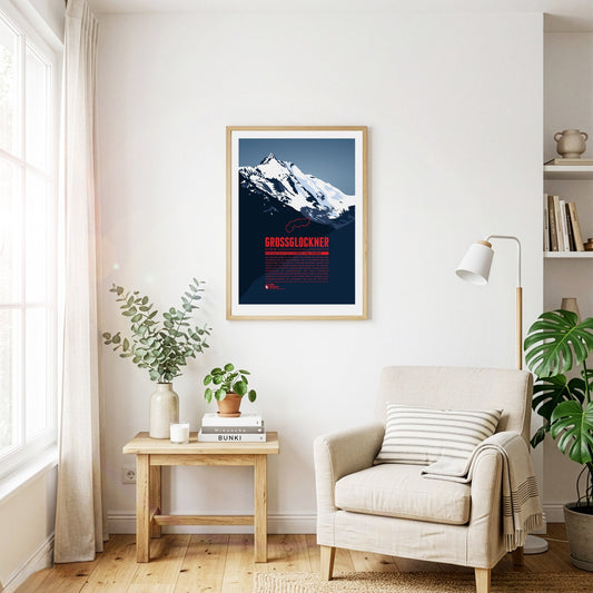
The Grossglockner or Glockner is Austria's highest mountain and one of the most prominent mountains on earth. The view of the summit still fascinates people today. The name of the mountain is probably derived from its bell (German: “Glocke”) -like shape. Besides the first successful summit ascent in 1800 fron Heiligenblut the ascent via the southwest ridge (Stüdlgrat) from Kals, made by the merchant Johann Stüdl, was one of the mile stones in the climbing history of the Grossglockner. Today more than 20 routes with varying difficulties lead to the summit from both Tyrol and Carinthia. This mountain print shows the view of the Großglockner from Tyrol. We also created a mountain print with the view from Carinthia, see Großglockner (Kärnten).
With a height of 3798 metres the Grossglockner is Austria's highest mountain. Its topographic isolation of 175 kilometres makes it one of the most dominant summits in all of Europe. The view of the summit from the Grossglockner High Alpine Road is famous and has been fascinating mountaineers, hikers and travellers for centuries. The first successful ascent to the summit by Prince-bishop Salm-Reifferscheidt-Krautheim was a major achievement in the history of Alpinism. Today more than 20 routes with varying difficulties lead to the summit from Heiligenblut and from Kals. This mountain print shows the view of the Großglockner from Carinthia. We also created a mountain print with the view from Tyrol, see Großglockner (Tirol). Großglockner (Tirol).
The Großes Wiesbachhorn is often seen as the most beautiful three-thousander and a rival to the Großglockner. Even though the mountain is part of the Glockner Group its upper part is quite isolated and allows for a spectacular view of the Fusch valley 2400 m below. The first ascent of the Northwest Face in 1924 is of major importance for Alpinism since for the first time ice nails were used, which were later further developed into ice screws, still being used today.
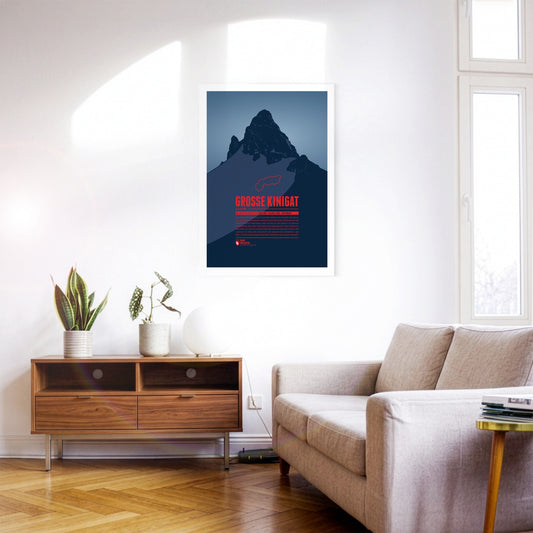
Große Kinigat or Monte Cavallino, lying on the border between East Tyrol and the Italian Province of Belluno, was supposed to be sold in 2011. After heavy protests the Austrian government abandoned these plans. The mountain is easy to climb and offers a great panoramic view up to Großvenediger and Großglockner, one of the highlights on the Carnic High Elevation Trail which follows the border between Italy and Austria over 155 kilometres.