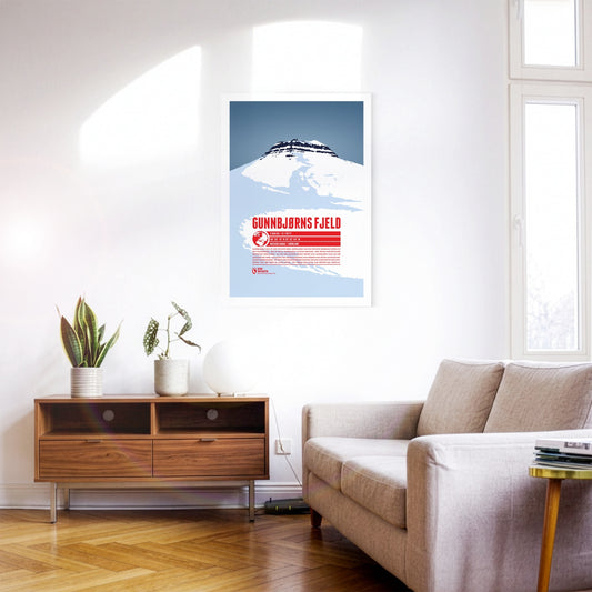
Gunnbjørn Fjeld is the highest mountain in Greenland and the highest point north of the Arctic Circle. It is named after Gunnbjørn Ulvsson, the first European to discover Greenland. Part of the Watkins Range, Gunnbjørn Fjeld rises on the island’s east coast. Because of its remote position, ascents are rarely attempted. The first documented ascent was made by a British expedition in 1935; the summit was not reached a second time until 1987.
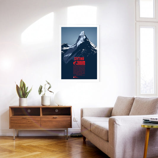
Stetind is one of the best-known mountains in Scandinavia and was voted Norway’s national mountain in 2002. An almost perfect obelisk, it is sometimes called ‘the Matterhorn of Scandinavia’. Although the mountain is not especially high, its northerly position and the harsh climate and weather make attempts on it a difficult undertaking. After several failed attempts, Stetind was climbed for the first time in 1910.
Kebnekaise is Sweden's highest mountain. It is situated in the far north of the country, about 150 kilometers north of the Arctic Circle. The mountain consists of two main summits. For a long time the southern peak (Sydtoppen) was the higher of the two. It was highly glaciated and since the ice at the summit strongly decreased in recent years, nowadays the mostly ice-free northern peak (Nordtoppen) is the high point of the massif.
The Watkins Range is the highest mountain range on Greenland, including the island's highest mountain Gunnbjørn Fjeld. Other notable three-thousanders of the range include Gunnbjørn Dome (3682 m) and Gunnbjørn Cone (3669 m). The mountains in the Watkins Range are so-called “nunataks”, rocks which emerge from an area which is otherwise covered entirely by ice and glaciers.
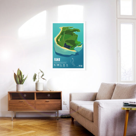
Car races were once held on Fanø's broad beach. Many harbour and grey seals live around the island. Fanø is known for its traditional women's costumes.
Mandø was once regularly flooded mudflat, but is protected by a dyke today. The island is linked to the mainland by a causeway that can be crossed at low tide.
The largest Danish North Sea island of Rømø is sparsely populated, but a popular destination for one-day visitors, who can reach it via a road embankment. The west beach is one of the widest beaches in Europe.
Korvatunturi lies in the Finnish part of Lapland, on the border to Russia. It is not so much its height, but rather the distinctive, sharp main summits which set the mountain apart from the surrounding area. Korvatunturi is especially well-known due to a popular Finnish story from the 1920s. According to the tale the mountain is the home of Joulupukki, the Finnish equivalent of Father Christmas.
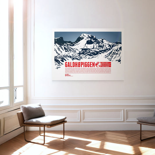
Galdhøpiggen is the highest summit in Norway and the highest mountain in all of Scandinavia, which makes it an extremely popular destination for climbers. Three larger glaciers cover the northern, western and southern sides of the summit, so the ascent route from the east is the easiest and requires no technical climbing. For a long time Glittertind, only a few kilometres to the east, was considered the higher of the two mountains. Melting glaciers at Glittertind’s summit have cost it so much height, however, that it is now only Norway’s second-highest mountain.
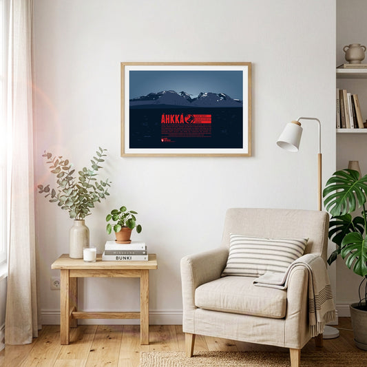
Áhkká is situated in northern Sweden, in the Stora Sjöfallet national park. It is also known as the “Queen of Lapland”. The mountain massif is dominating its surrounding area and is of high importance in the Sami culture. Its name refers to the mother goddess Maderakka. The summit region of the Áhkká-massif consists of twelve peaks with Stortoppen being the highest. Nordosttoppen (north east peak) also reaches a height of over 2000 meters. The first recorded ascent of Stortoppen was accomplished in 1924.
Tysnesøy is situated between the Hardangerfjord and the Bjørnafjord. The north the island is mountainous. The islands’ highest point is the 753 meters high Tysnessåto.
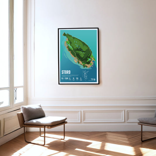
Mining was carried out for centuries on the island of Stord, set between fjords and skerries. The island's highest mountain, the Mehammarsåta, rises to 749 metres.
Utsira is the smallest independent municipality in Norway and a popular destination. The rocky island is famous for its birdlife. over 300 species having been spotted here.
The first Norwegian king established his court on Karmøy. The strait between the island and the mainland is an important shipping route once known as the North Way – and it gave Norway its name.