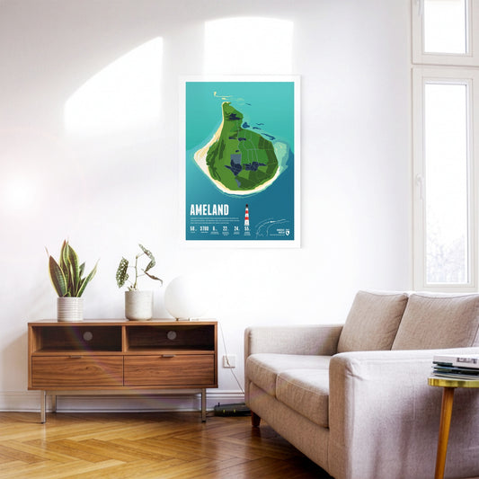
With its many group accommodations, Ameland is a popular destination for school trips. The idyllic village of Hollum lies at the western end, home to the well-known red-and-white lighthouse.
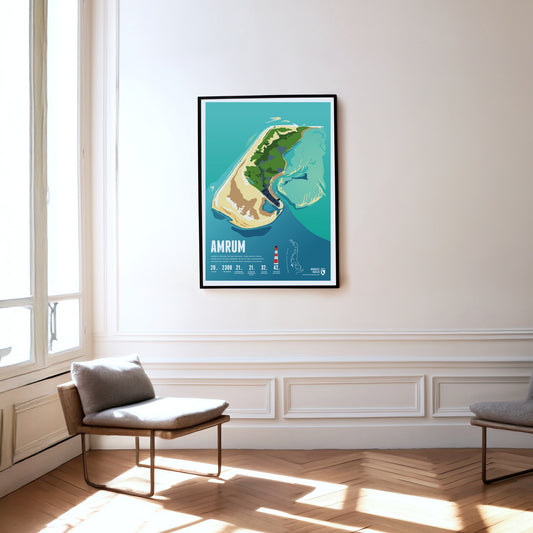
Amrum is known for the Kniepsand, its wide beach, which is actually a sandbank that wanders around the island. Amrum's landmark is the red and white striped lighthouse.
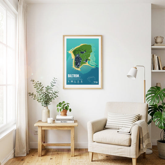
Baltrum is considered especially restful thanks to its tranquillity. Instead of street names, the small car-free island has only house numbers – the oldest houses carry the lowest ones.
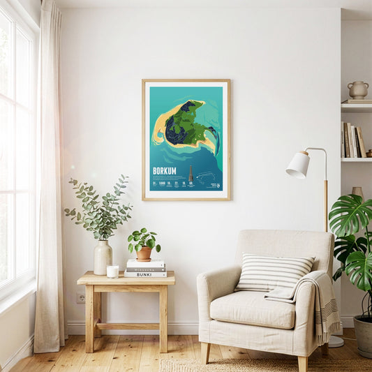
Seaside tourism flourished on Borkum in the 19th century. Historic buildings along the beach promenade still bear witness to it today. The Borkum narrow-gauge railway picks up visitors at the harbour.
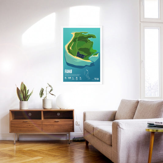
Car races were once held on Fanø's broad beach. Many harbour and grey seals live around the island. Fanø is known for its traditional women's costumes.
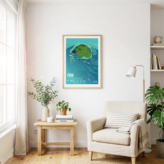
The landscape on Föhr is flat and characterized by meadows and agricultural areas. In addition to the main town of Wyk, there are many small, picturesque villages. The beaches are narrow but very popular for swimming.
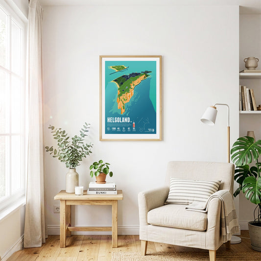
Helgoland is almost 50 kilometers away from the mainland. In its history, the small island often changed state affiliation. It is famous for its red rocks where seabirds breed.
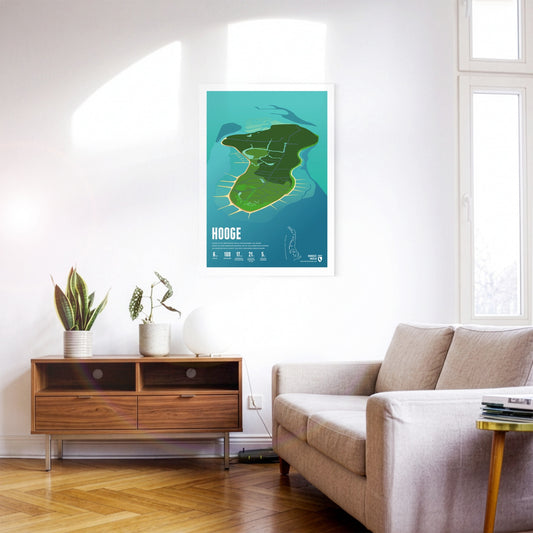
Hooge is the second-largest Hallig in the Wadden Sea. Its houses stand on ten inhabited dwelling mounds that protect them from storm surges. A low dyke guards against even more frequent flooding.
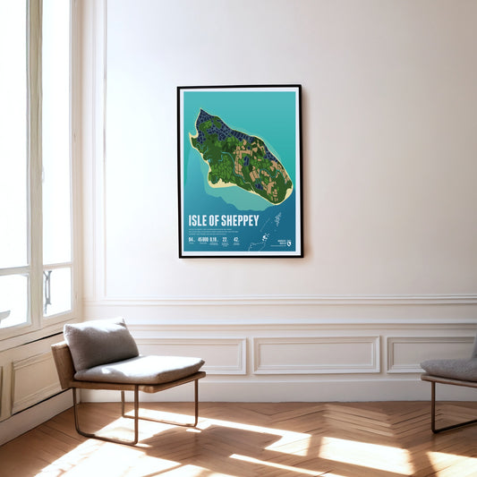
The Isle of Sheppey lies in the Thames estuary. The flat island is separated from the mainland only by a narrow channel. Its beaches are popular day-trip destinations.
The car-free island is nowhere wider than 900 metres, so the sea is never far away and its surf is always audible. On Juist, horse-drawn carriages carry people and goods.
The first Norwegian king established his court on Karmøy. The strait between the island and the mainland is an important shipping route once known as the North Way – and it gave Norway its name.
Langeneß is the largest Hallig in the Wadden Sea. Its inhabitants live on 18 dwelling mounds that turn into small islands during storm surges. Goods reach the island by narrow-gauge trolley line.
The car-free island is particularly popular with families. The colourful island railway carries visitors into the village. Langeoog's landmark is the water tower built on a dune.
Lindisfarne is a tidal island that can be reached on foot during low tide. It is also known as "Holy Island" and is famous for Lindisfarne Castle and the ruins of a monastery.
Mandø was once regularly flooded mudflat, but is protected by a dyke today. The island is linked to the mainland by a causeway that can be crossed at low tide.
Lying in the mudflats off the Elbe estuary, the island of Neuwerk forms – together with the uninhabited neighbouring islands of Scharhörn and Nigehörn – the northernmost and westernmost district of Hamburg.
Norderney was the first German seaside resort on the North Sea, as the historic spa buildings still testify today. In the west there are plenty of pubs and bars, in the east – solitary nature.
About 20 people live on the Hallig of Nordstrandischmoor, spread across four dwelling mounds. The island school is one of the smallest schools in Germany. A narrow-gauge trolley line connects the Hallig with the mainland.
Orkney Islands are a Scottish anarchipelago, which consists of the main island (Mainland) and approximately 70 smaller islands. The highest point of the group is Ward Hill, which rises to an elevation of 479 meters.
Pellworm lies amid mudflats. The island is protected all around by a dyke, without which it would flood regularly. There is no sandy beach here, but plenty of peace and quiet.
The largest Danish North Sea island of Rømø is sparsely populated, but a popular destination for one-day visitors, who can reach it via a road embankment. The west beach is one of the widest beaches in Europe.
The car-free island of Schiermonnikoog (Literally translated: Islandof the Gray Monks) belonged to a Frisian monastery in the Middle Ages. The nature of the island has been protected as a national park since 1989.
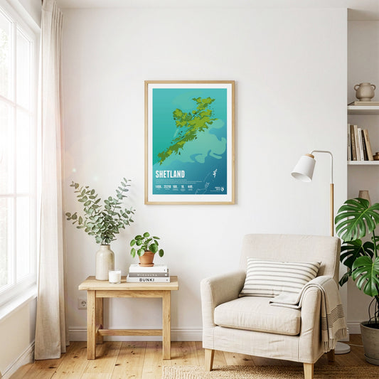
The Shetland Islands are an island group in Scotland. They are located in the middle between Norway, the Faroe Islands, and the Scottish Orkney Islands, thus forming the northern boundary of the North Sea facing the North Atlantic.
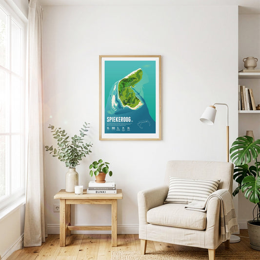
Car-free Spiekeroog is exceptionally close to nature and quiet. The island is known for its idyllic village – even bicycles are considered too hectic here. Untouched wilderness reigns on the Ostplate sandbank.
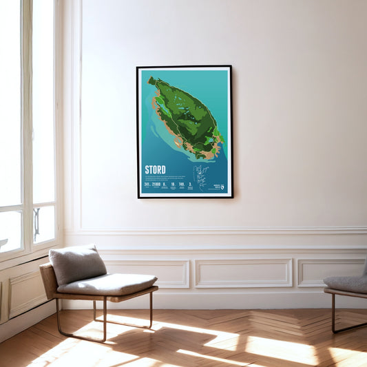
Mining was carried out for centuries on the island of Stord, set between fjords and skerries. The island's highest mountain, the Mehammarsåta, rises to 749 metres.
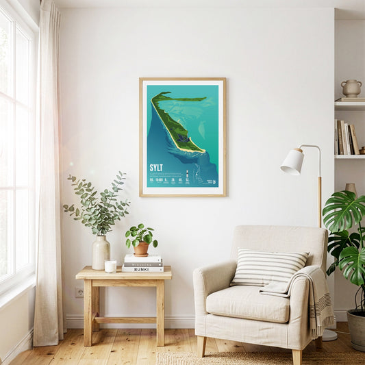
The beach on the largest and most popular German North Sea island among tourists is 40 kilometers long. It is considered a travel destination for the rich and famous. A railway embankment connects Sylt with the mainland.
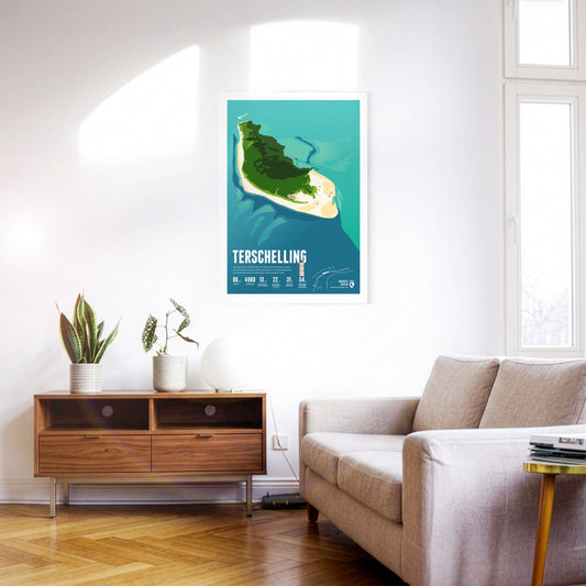
Terschelling is known for the annual Oerol cultural festival. A 30-kilometre beach encloses the dune landscape. Thousands of birds live in the nature reserve in the east of the island.
The largest Frisian island is particularly popular with tourists. Texel's beach is 30 kilometers long, with the busiest seaside resort of De Koog. Countless sheep graze on the island's pastures.
Tysnesøy is situated between the Hardangerfjord and the Bjørnafjord. The north the island is mountainous. The islands’ highest point is the 753 meters high Tysnessåto.
Utsira is the smallest independent municipality in Norway and a popular destination. The rocky island is famous for its birdlife. over 300 species having been spotted here.
Half of the quiet and car-free island of Vlieland consists of a vast expanse of sand called the "Sahara of the North." The only village on the island is home to many historical buildings.
Wangerooge's shape is reminiscent of a seahorse. The island was hit by bombs in the Second World War. Today things are peaceful, with the island railway trundling gently through the landscape.