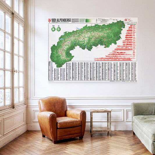
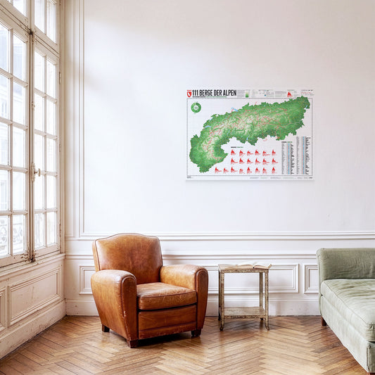
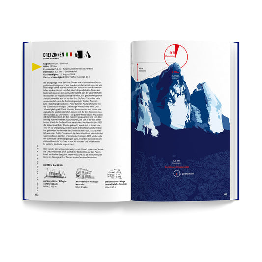
What defines a mountain? A mountain rises above its surroundings. At the same time, not every small elevation is considered a mountain. So what criteria decides what is and what isn’t a mountain? With the help of geography, a mountain can be described objectively. The most important feature of a mountain is its height above sea level. Mountaineers often strive to conquer certain thousand-metre markers. The topographic prominence measures the independence of a summit. Depending on its location, a mountain in the Alpine foothills that is only a few hundred metres high can seem more impressive than a sub peak with a height of over 4 000 metres in the Mont Blanc or Monte Rosa massif.
The Mont Ventoux is the highest summit of the southern Dauphiné Limestone Alps. The giant of Provence was the goal of the first documented ascent of an Alpine mountain, undertaken by Francesco Petrarca and his brother, and many have since regarded that climb as the founding moment of alpinism. In cycling it is one of the sacred mountains of the Tour de France, even though the Ventoux has appeared on the race route only every four to five years on average since it was first crossed in 1951.
Kazbek (also Kasbek or Qasbegi) is a five-thousand-metre peak in the centre of the Caucasus, on the border between Georgia and Russia. After Elbrus it is the second-highest volcano in the range, which is why it is counted among the Volcanic Seven Second Summits. The iconic volcanic cone also plays a part in Georgian mythology: legend has it that Amirani, a Georgian version of Prometheus, was once chained to the mountain for stealing fire from the gods and giving it to humankind. At around 2100 metres stands Gergeti Trinity Church, the only domed church in the Georgian high mountains.
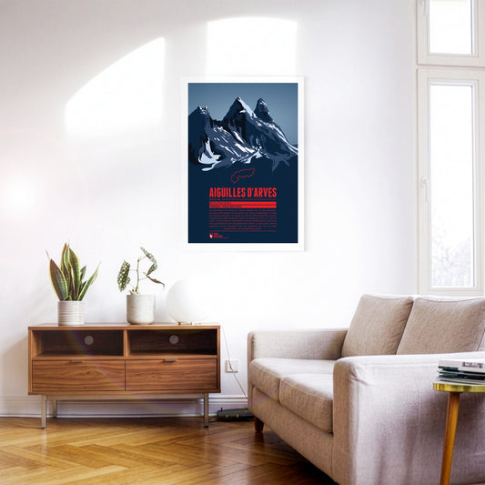
The rock spires of the Aiguilles d’Arves rise in the Maurienne, east of Grenoble. The southern peak, the Aiguille Méridionale, is the highest of them. It is followed by the Aiguille Centrale, just one metre lower, and, set slightly apart further north, the Aiguille Septentrionale, also known as ‘Tête de Chat’ – cat’s head. Since many are drawn to the famous and popular Écrins massif to the south, the Aiguilles d’Arves have become something of an insider tip for anyone looking for quieter mountain and climbing tours.
Manaslu – the ‘mountain of the spirit’ – is sometimes also called ‘Kutang’ and is the eighth-highest mountain on Earth. The summit has three steep flanks, while to the east it falls away more gently towards the 7992-metre subsidiary peak. Despite its lower altitude, the east summit was not climbed until 1986, some 30 years after the main summit. Anyone not up to an ascent to 8000 metres and beyond can try the Manaslu Circuit. The trekking route leads all the way around Manaslu, reaching an altitude of just over 5100 metres.
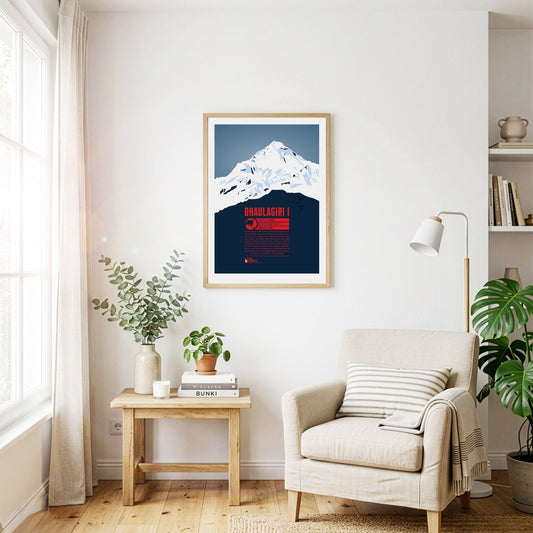
Dhaulagiri is the seventh-highest mountain on earth and the highest summit that does not lie on a national border. The Kali Gandaki river flows between Dhaulagiri and the Annapurna massif to the east, forming what is probably the deepest river valley in the world. Visible from far away, Dhaulagiri was surveyed as early as 1808 and was at that point the highest recorded mountain in the world. Only 30 years later did Kangchenjunga in India take that place. The first ascent of Dhaulagiri in 1960 was the second to last of an eight-thousand-metre peak.
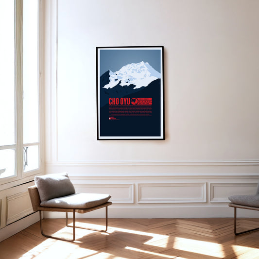
Cho Oyu, the sixth-highest mountain on earth, rises in the west of the Mahalangur Himal, the part of the Himalayas that also contains Mount Everest, only about 20 kilometres away. West of Cho Oyu lies the Nangpa La pass at 5716 metres, which has been one of the most important trade routes between Tibet and Nepal for centuries. In 1954 the Austrians Herbert Tichy and Joseph Jöchler, together with the Sherpa Pasang Dawa Lama, made the first ascent of Cho Oyu – without supplementary bottled oxygen, an extraordinary mountaineering achievement.
Less than 20 kilometres from Mount Everest, Makalu, the fifth-highest mountain on Earth, rises as an impressive four-sided rock pyramid. The Makalu massif also includes the peaks of Kangchungtse (also Makalu II, 7678 m) and Chomo Lonzo (7804 m) to the north. Locally, Makalu is also known as ‘Kumba karna’ (the giant). The first ascent of the summit in 1955 was made from the north via the saddle between Kangchungtse and Makalu; this route is regarded as the normal route today. During the search for the legendary yeti, the area around Makalu was a particular focus.
Mount St. Helens is an active stratovolcano in the Cascade Range, near the west coast of the USA. The volcano’s severe eruption on 18 May 1980 was the most destructive volcanic event in US history and killed 57 people. The north flank slid away, costing the mountain a good 400 metres in height. In the languages of the local Indigenous peoples, Mount St. Helens is known as Lawetlat’la (Cowlitz) and as Loowit or Louwala-Clough (Klickitat).
Mount Giluwe is an eroded shield volcano that last erupted more than 200000 years ago. It lies in the Bismarck Range and is the second-highest mountain in Papua New Guinea as well as the highest volcano in Australia and Oceania, which makes it one of the Seven Volcanic Summits. Besides the main summit, the eastern subsidiary peak also reaches a height of 4300 metres. The summit can be reached via trekking routes. When choosing equipment, bear in mind the cold on the mountain at higher altitudes and at night.
Mount Sidley is the highest of five dormant volcanoes in the Executive Committee Range in Antarctica. As the highest volcano on the entire continent, it is at the same time the lowest of the Volcanic Seven Summits. The massive shield volcano was discovered during a flyover in 1934. More than 50 years were to pass before the first ascent in 1990. Because of its location, extremely inaccessible even by Antarctic standards, Mount Sidley is rarely climbed. Its height has not yet been determined exactly either; some sources give a summit height of 4181 metres.
Between Monte Rosa to the south and the Mischabel group to the north, the Rimpfischhorn rises as the highest point of the Allalin group. Its rocky ridge climbs slowly from the north to the highest summit in the south. Seen from the south the mountain therefore appears as a steeply rising triangle of stone, while from the west and east it shows its rocky spikes. The Rimpfischhorn is suited both to high alpine tours in summer and to ski tours in winter.
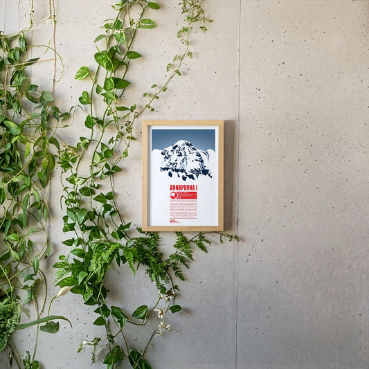
Annapurna I is the tenth-highest mountain on Earth and the highest point of Nepal's Annapurna massif, which stretches over a good 55 kilometres and contains numerous six- and seven-thousand-metre peaks. The name Annapurna goes back to the Hindu goddess of the harvest, whose name is made up of the words ‘anna’ (food) and ‘purna’ (filled). Annapurna I was climbed as early as 1950, the first eight-thousand-metre peak ever to be summited. Yet the second successful ascent only followed in 1970, via the roughly 3000-metre south face, which is considered one of the most difficult climbing routes of all.
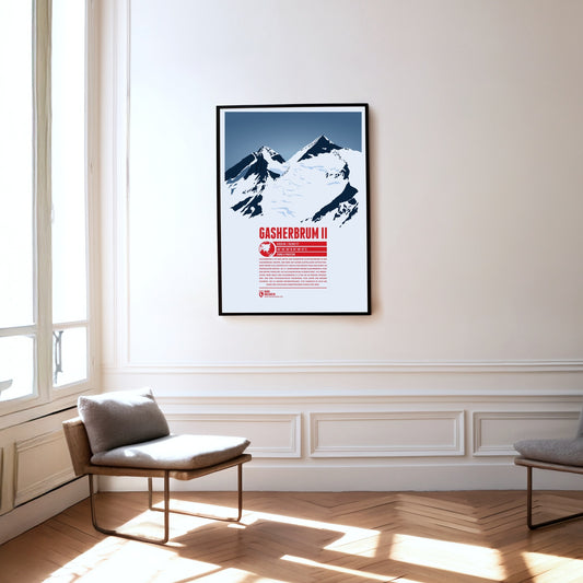
Gasherbrum II is the third and lowest eight-thousand-metre peak in the Gasherbrum group. The mountain with its striking summit pyramid rises south-east of K2 and Broad Peak, placing it at the centre of the group. In the 19th century the British initially designated Gasherbrum II as K4 (Karakoram 4). Gasherbrum III (7946 m) to the west, with a topographic prominence of less than 500 metres, is usually regarded as its subsidiary peak. Until its first ascent in 1975 it was one of the highest unclimbed points on Earth.
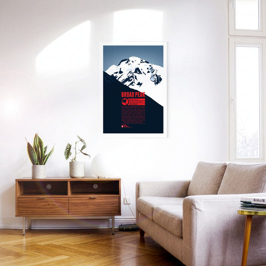
Broad Peak is the second-highest eight-thousand-metre peak of the Gasherbrum group. South-east of K2 rise the north summit, the central summit and finally the main summit. The long summit ridge of this enormous mountain reminded William Martin Conway, the Briton who named it, of the Breithorn in Switzerland, so he simply carried its name over into English. In 1988 the Polish mountaineer Maciej Berbeka became the first person to climb above 8000 metres in winter when he reached Broad Peak's fore-summit (Rocky Peak) at 8028 metres.
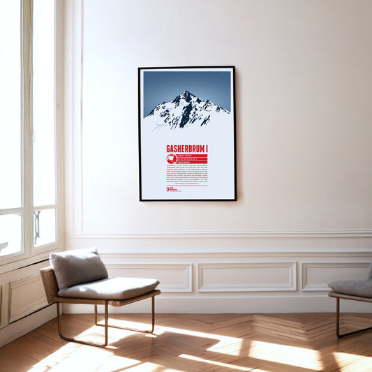
Gasherbrum I is the highest mountain of the Gasherbrum group of the same name and the eleventh-highest mountain on Earth. Initially recorded by the British as K5 (Karakoram 5), the name from the local Balti language later prevailed; it can be translated as ‘beautiful mountain’. Its remote position also earned it the nickname ‘Hidden Peak’. After the first ascent in 1958, Peter Habeler and Reinhold Messner achieved the first ascent of an eight-thousand-metre peak in pure Alpine style without supplementary bottled oxygen on Gasherbrum I in 1975.
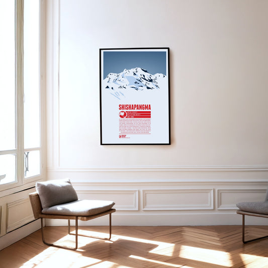
As the lowest eight-thousand-metre peak, Shishapangma is the fourteenth-highest mountain on earth and the only one above 8000 metres that lies entirely in China. It was the last of the eight-thousand-metre peaks to be climbed, in 1964, by what is now the normal route from the north. The Tibetan plateau stretches away to the north of Shishapangma, which explains the meaning of its name: ‘mountain overlooking the grassy plain’. The Indian name Gosainthan, which was more common at first, means ‘holy place’ or ‘place of the saints’. The mountain’s south-west face, more than 2000 metres high, is as impressive as it is demanding.
The Titlis lies at the centre of the Uri Alps and is the highest point of a mountain chain some 20 kilometres long. While the Titlis, with its curved summit, drops away sharply to the east and south in impressive rock faces, to the north it slopes gently down towards the municipality of Engelberg. Thanks to cable-car access and attractions such as the ‘Titlis Cliff Walk’, it is a very popular and much-visited mountain, whether for walking in summer or skiing in winter.
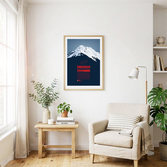
The Ennskraxn is not the highest mountain in Salzburg’s Kleinarl valley, but it is one of the most striking summits in the area. It is part of the Radstadt Tauern, a western subgroup of the Niedere Tauern. Locals simply call the mountain ‘Krax’. The Enns, Austria’s longest inland river, rises east of the summit. Trips around the mountain are especially colourful in early summer, when the hairy alpenrose – known locally as ‘Almrausch’ – is in bloom.
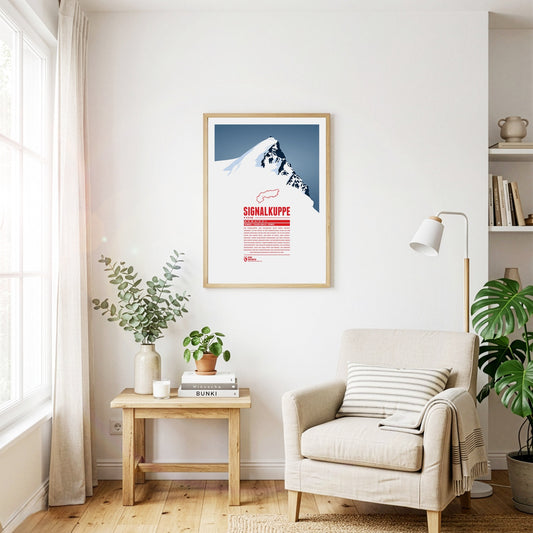
The Signalkuppe, also called Punta Gnifetti in Italian, is a summit in the Pennine Alps on the border between Italy and Switzerland, and a subsidiary peak of Monte Rosa. The mountain is named after ‘the signal’, a prominent gendarme on the east ridge, which is called the Cresta Signal. The first ascent was made by Giovanni Gnifetti, a parish priest from Alagna Valsesia. The highest building in Europe, the Capanna Margherita, stands on the summit; work began in 1890 with the support of the Italian Crown, and Queen Margherita opened it in 1893.
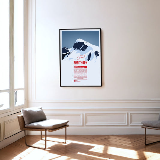
The Breithorn is a mountain range in the Pennine Alps whose highest summit carries the same name and lies on the border between Switzerland and Italy. It sits on the main chain of the Alps, roughly halfway between the Matterhorn and Monte Rosa and east of the Theodul Pass. Most of the massif is glaciated and includes several subsidiary peaks, all of them east of the main summit: the Central Breithorn, the western Breithorn Twin, the Gendarme and the Roccia Nera.
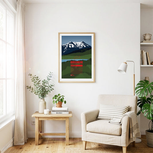
South of the Tegernsee rises the Hirschberg, with its main summit in the west and a fore-summit about 15 metres lower in the east. Despite its comparatively modest height, the mountain is visible from far to the north and greets the inhabitants of the Bavarian Alpine foreland. The summit can be reached on various walking paths and offers an excellent view that in good weather stretches from the Roßstein across the Zugspitze to the Großglockner.
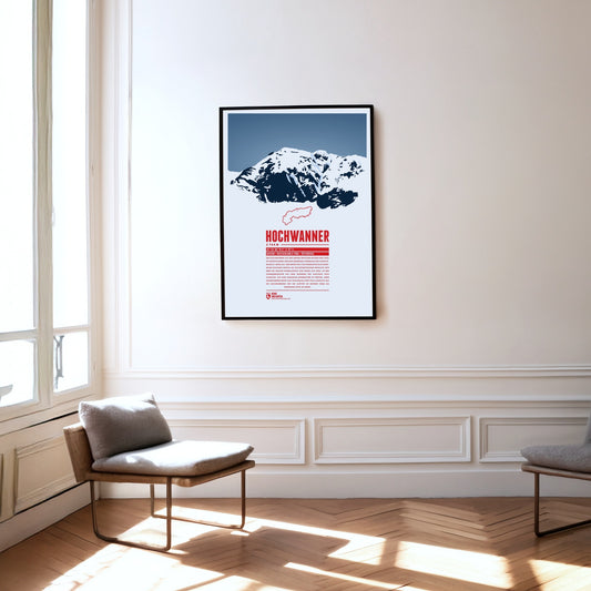
The Hochwanner, on the border between Bavaria and Tyrol, is Germany’s highest point outside the Zugspitze massif. Its impressive north face drops more than 1400 metres towards the Reintal. The first ascent was made in 1870 by what is now the normal route from the south, out of Tyrol. In the summer months there is a good chance of meeting the marmots that live here during the climb. At the top, a fine view opens up over neighbouring mountains such as the Alpspitze to the north and the Mieming Chain to the south.
Between the Splügen Pass and Chur, the Piz Beverin rises in the eastern Adula Alps. The relatively free-standing summit offers an excellent view. Besides walking paths, climbing routes of varying difficulty lead up the Piz Beverin, and the mountain is a popular ski-touring destination. The Beverin nature park surrounds it: alongside the ibex, the heraldic animal of Grisons, a wolf pack lives here too.
The Parseierspitze is the only three-thousand-metre peak in the Northern Limestone Alps and the highest mountain of the Lechtal Alps. It rises above the Inn valley as a jagged tower of rock. The name of the mountain and of the Parseier valley probably goes back to the Romance word ‘presür’, which described the gate of an alpine pasture.
The Monte Disgrazia is a chameleon. Seen from the north-west or south-east, it appears as a sharp, rugged, unconquerable horn. From the north-east, by contrast, the peak looks like an elongated plateau. The reason is the multi-peaked summit wall, which runs in an almost perfectly north-westerly direction and so allows very different views.
The Monte Civetta in the province of Belluno towers above the Cordévole valley and the village of Alleghe. ‘Civetta’ means owl in Italian and goes back to the earlier notion that such a mighty mountain could only be conquered in flight. That is due above all to its north-west face, as steep as it is vast: more than 1000 metres high and three kilometres wide, it is one of the largest rock faces in the Dolomites.
The Linker and Rechter Fernerkogel are two peaks north-east of the Wildspitze, with the Mittelbergferner glacier between them. The Linker Fernerkogel is a popular tour destination in both summer and winter. The normal route leads to the summit from the north, starting at the Braunschweiger Hütte. The area is also used for glacier mountaineering courses.
The Kräuterin is a striking dome of the Hochstadl and the highest point of the Ybbstal Alps. The summit rises north of the Salza valley, which separates it from the Hochschwab group. The Kräuterin is rugged and rocky and has several subsidiary peaks, with wide alpine meadows stretching between them.
The Pizzo di Gino is the highest summit of the Lugano Prealps in Lombardy and is regarded as a border mountain between the Prealps and the High Alps. The peak resembles an even, three-sided pyramid of rock. The Cuccio mountain stream rises on its slopes, and the Valle Albano lies to the north-west of the Pizzo di Gino.
The Piz Val Gronda lies in the Samnaun group, right on the border between Austria and Switzerland. On Swiss territory in the Fimba valley, south-west of the summit, stands the Heidelberger Hütte, the starting point for ski tours and the most important base for walking up the mountain. From here the summit can be reached without difficulty in about two hours.