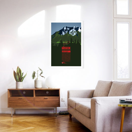
Das Gößeck ist der nördlichste und höchste Gipfel des Reitingstocks in der Steiermark. Zugleich ist es die höchste Erhebung der Eisenerzer Alpen, dem südlichen Teil der Ennstaler Alpen. Im Frühling machen die bewachsenen Hänge des Reiting den Gebirgsstock zu einem der schönsten Blumenberge der Steiermark. Mehr als 70 Orchideenarten wachsen rund um den Berg. Auch die Tierwelt ist vielfältig. So leben hier neben Rotwild auch Gämsen und Steinböcke.
Im Westen von Chur erhebt sich der Ringelspitz über das Vorderrheintal. Der Berg, der auf rätoromanisch als Piz Barghis bekannt ist, ist der höchste Gipfel des Kantons St. Gallen und liegt auf der Grenze zu Graubünden. Für Touren zum Gipfel bietet sich als Ausgangspunkt die Ringelspitzhütte des Schweizer Alpen-Clubs im Südosten des Bergs an. Für den Aufstieg besonders geeignet sind die Winter- und Frühjahrsmonate.
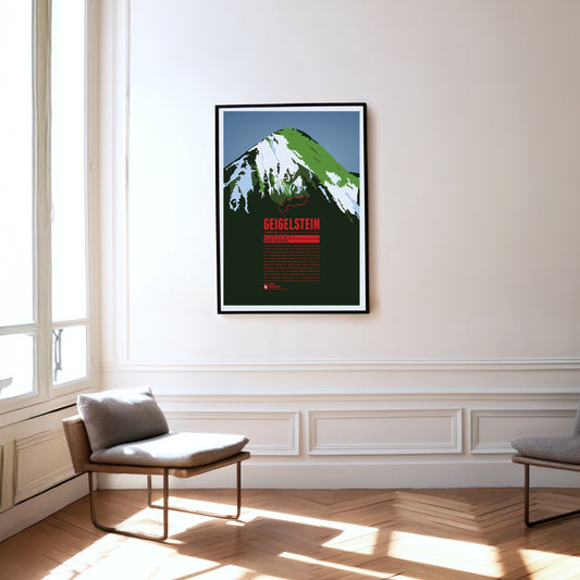
Der Geigelstein ist der dritthöchste Berg der Chiemgauer Alpen und der höchste ihrer Gipfel, der vollständig in Bayern gelegen ist. Mit seinem gut 100 Meter langen Gipfelgrat und den schräg abfallenden Flanken ähnelt der Berg vor allem von Süden aus gesehen einem spitzen Hausdach. Proteste gegen die Errichtung eines größeren Skigebiets am Geigelstein führten dazu, dass 1991 ein Areal von gut 300 Hektar unter Naturschutz gestellt wurde. Unter anderem handelt es sich um ein wichtiges Brutgebiet für Wanderfalken.
Gamsfeld is the highest mountain and the only two-thousander in the Salzkammergut Mountains. The slopes of Gamsfeld below the dome-shaped summit drop steeply in all directions, making ascents somewhat demanding. The efforts are rewarded with a breathtaking view of the noticeable higher mountains of the Dachstein massif in the south and the lakes of the Salzkammergut in the north. Gamsfeld is also known for the lush Alpine flora on its slopes. Alpine roses can form dense carpets of flowers during their bloom.
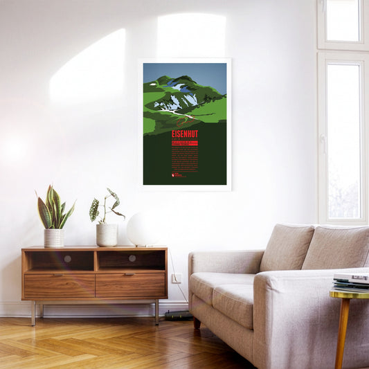
Eisenhut, “the Iron Hat”, is the highest peak of the Gurktal Alps and the Nock Mountains. It is located in Styria close to the border with Carinthia in the south. As the name suggests, iron ore used to be mined around the Eisenhut. Mining in the region has been documented since the 13th century. Today, tourism is an important economic factor, especially with the ski resort Turracherhöhe, south-west of the Eisenhut.
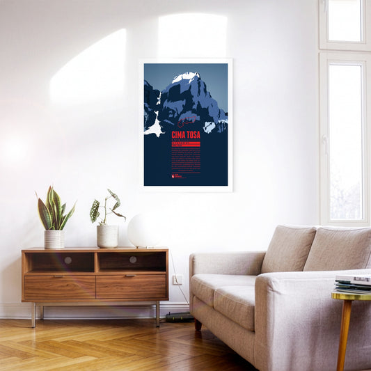
Cima Tosa is a mountain in the Brenta Group, north of Lago di Garda. It was once considered the highest point in the massif. However, new measurements revealed a summit height of just under 3 136 meters, making Cima Brenta (3 151 m) in the north the higher of the two peaks. Nevertheless, Cima Tosa is a fascinating huge, snow-covered rock tower with steep walls. The north face of the mountain, which is around 800 meters high, is particularly impressive.
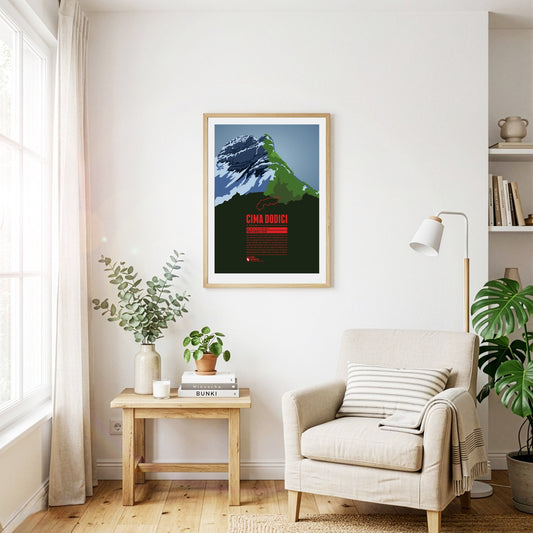
Cima Dodici (or Cima XII) is the highest point of the province of Vicenza and the Vicentine Alps, which rise northeast of Lago di Garda. The border with the province of Trento runs across the summit. In German, the mountain is also known as Zwölferkofel. Since Cima Dodici is easily accessible from all directions it is a popular destination for mountain hikes in the summer and ski tours in winter.
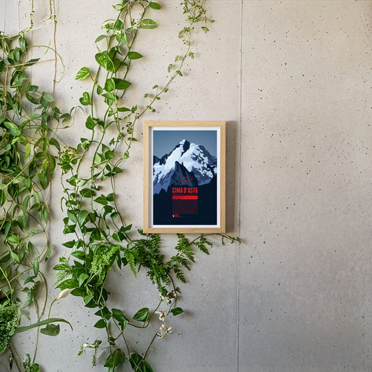
Cima d'Asta is the highest peak of the mountain massif of the same name and thus also the highest point in the Fiemme Mountains The mountain is located in a rather remote part of the Dolomites, away from the main tourist routes. The rock of the Cima d'Asta consists of granite, which sets it apart from the surrounding mountains, which are mainly characterized by reddish volcanic stone.
The Schesaplana is rising close to the southern tripoint between Switzerland, Austria, and Liechtenstein. Situated in the center of the Alps and being the high point of the Rätikon the summit offers a view over hundreds of Alpine mountains up to the Pennine Alps, Ötztal Alps, the Zugspitze massif, and beyond. On the way to the mountain top different mountain huts can be passed, such as the Mannheimer Hütte in the north behind the Brandner Glacier, the Douglashütte at the Lünersee in the east, or the Schesaplanahütte in the south.
The impressive Niesen towers south of Lake Thun. Due to its pyramid-shape in the winter months, when the sun is low, the summit casts a large triangle shadow on the community of Spiez at the foot of the mountain. Since 1910 the mountain top can be reached with the Niesenbahn, a funicular railway.
North of Mount Ruapehu, the highest mountain on New Zealand's North Island, the volcanic cone of Mount Ngauruhoe rises. With an estimated age of about 2500 years it is the youngest and also the highest summit of the Tongariro volcanic comlpex. The surrounding Tongariro National Park was formed in 1887 as New Zealand's first national park. In Peter Jackson's Lord of the Rings-movies Ngauruhoe is presented to a worldwide audience as Mount Doom in Mordor.
Mount Edgecumbe is a dormant volcano and the highest mountain on Kruzof Island in the southeast of Alaska. In the native Tlingit language the mountain is named L'ux which can be translated as flashing or blinking. Mount Edecumbe got international attention in course of one of the largest April Fool jokes in history when on 1st April 1974 Oliver Bickar alarmed the population in the surrounding settlements who were in fear of an eruption when Bickar had actually only set dozens of tires on fire.
As one of the western summits of the Daumen Group the Rubihorn and its summit cross tower west of the Nebelhorn and north of the Schattenberg. The mountain is named after the town Rubi, which is situated north of Oberstdorf. The mountain top offers a stunning view over the Iller Valley and the surrounding summits. One of the most scenic routes to the summit leads from the east along the picturesque Gaisalpsee.
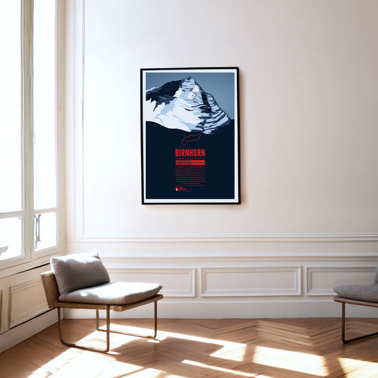
Das Birnhorn ist die höchste Erhebung der Leoganger Steinberge und zählt zu den 30 prominentesten Alpengipfeln. Fast 2 000 Meter erhebt sich das Birnhorn über dem Tal der Leoganger Ache in seinem Süden. Die etwa 1 400 Meter hohe Südostwand des Berges ist eine der höchsten Felswände der Ostalpen, die sogar mit der berühmten, nahegelegenen Ostwand des Watzmann verglichen wird.
Auf eine Höhe von fast 2500 Metern erhebt sich der Kriváň in der Hohen Tatra, dem höchsten Teil der Karpaten. Seinen Namen verdankt der Berg der gebogenen Gifpelform. Krivý bedeutet auf slowakisch krumm und so ist der Berg im deutschen auch als Krummhorn bekannt. Der Kriváň wird manchmal als „das Matterhorn der Slowakei“ bezeichnet und wurde mehrfach zum schönsten slowakischen Gipfel gekürt. Seit dem 19. Jahrhundert ist er zu einem der nationalen Symbole des Landes geworden.
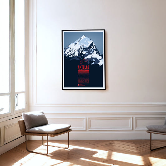
Während die Marmolata als Königin der Dolomiten gilt, ist Antelao ihr König. Für die Gebirgsgruppe eher ungewöhnlich, ragt der Berg als freistehende Felspyramide im Südosten von Cortina d'Ampezzo majestätisch in die Höhe. Zusammen mit dem westlich gelegenen Monte Pelmo bildet der zweithöchste Dolomitengipfel ein riesiges Eingangsportal in das Val di Cadore.
Lhotse ist der vierthöchste Berg der Erde. Mit einer Schartenhöhe weit unter 1500 Meter ist der Lhotse der einzige der 14 Achttausender, der nicht zu den sogenannten ultraprominenten Gipfeln gezählt wird. Dies ist seiner Nachbarschaft zum Mount Everest zu verdanken, mit dem er über den Südsattel verbunden ist. Die Erstbesteigung des Lhotse erfolgte 1956 drei Jahre nach der des Everest. Die erste Besteigung des Nebengipfels Lhotse Middle gelang erst 2001, wodurch dieser fast 50 Jahre lang der höchste unbestiegene Punkt der Erde war.
The Rigi is a mountain massif with the highest peak Rigi Kulm. It is located between Lake Lucerne, Lake Zug and Lake Lauerz and offers a spectacular view over large parts of the Swiss Alps. This is one of the reasons why the first mountain railway in Europe, the Vitznau-Rigi-Bahn, was build here in 1871. Rigi has attracted famous guests for centuries: Twain and Goethe visited the massif and Tolstoi even described the view as “the most beautiful in the world”.
Zwischen Eiger und Jungfrau komplettiert der Mönch das eindrucksvolle Dreigestirn im Berner Oberland. Von der Bergstation der Jungfraubahn sind es knapp über 600 Höhenmeter Aufstieg bis zum Gipfel, der allerdings einige technische Herausforderungen beinhaltet. Erst 1996 wurde bei Nachmessungen festgestellt, dass der Berg neun Meter höher ist als bisher angenommen. Am Berg wurden früher auf Weiden Wallache, sogenannte „Münche“ gesömmert. Aus dem „Münchenberg“ wurde dann der Mönch.
The Ponta do Pico, often simply abbreviated to Pico, is a majestic stratovolcano on the Azores island of the same name. With its 2351 meters it is the highest mountain in Portugal and the mid-Atlantic ridge. The name means "summit" and its impressive panorama not only dominates its own island, which is also called "Ilha Preta", the "black island" after its dark volcanic rock, but can also be seen on the neighboring islands of Faial and São Jorge. Hikers should expect moderate temperatures, but also high humidity and constant wind.
The Mutspitze is the local mountain of Dorf Tirol and forms the south-eastern end of the Texel Group in the Ötztal Alps. The summit is a popular destination for day hikes and offers magnificent views down the valleys south towards Merano and north into the Spronser Valley and the rest of the Texel Group. The ascent starts with the Hochmuth cable car and from there either from the east via the Mutkopf or from the west via the Leiter Alm and the Taufenscharte. The demanding route is easily manageable thanks to the hiking trails carved into the rock.
Die Jungfrau ist der höchste Gipfel des Dreigestirns, das sie gemeinsam mit Eiger und Mönch bildet. Die Eröffnung der Zahnradbahn zum Jungfraujoch auf über 3400 Meter Höhe im Jahr 1912 machte den Berg zu einem der am leichtesten zugänglichen Viertausender der Alpen. Der Name ging womöglich von der am Nordhang gelegenen Wengernalp, die von den Nonnen des ehemaligen Frauenklosters Interlaken Jungfrauenberg genannt wurde, mit der Zeit auf die Jungfrau über.
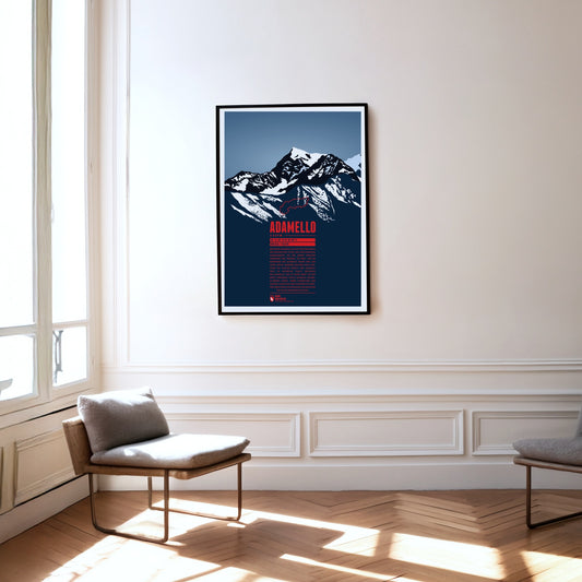
Der Monte Adamello ist nach der Presanella der zweithöchste Gipfel der gleichnamigen Gebirgsgruppe auf der Grenze zwischen Lombardei und Trentino. Die West- und die Nordwand des Adamello ragen steil zum Gipfel empor, während der Berg nach Südosten hin flacher abfällt. Der Adamello liegt im Naturpark Parco regionale dell’Adamello, der im Osten direkt an den etwas grösseren Parco naturale Adamello-Brenta grenzt. Neben Steinböcken und Gämsen lassen sich hier gelegentlich grössere Greifvögel wie Steinadler und Bartgeier und selten Braunbären blicken.
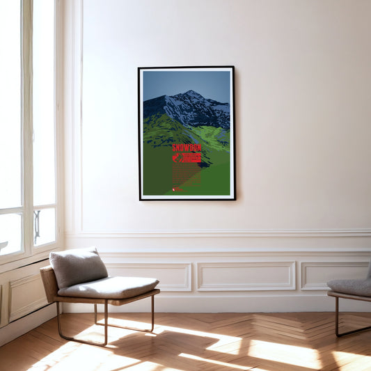
Der Snowdon ist der höchste Berg von Wales. Sein walisischer Name, Yr Wyddfa, bedeutet Gruft, da sich hier laut Sage das Grab des Riesen Rhitta Gawr befinden soll, den King Arthur besiegte. Der Snowdon ist ein häufig besuchter Berg, da er sich für schöne Wanderungen über die grasbedeckten Hänge anbietet. Richtung Osten und Norden sind die Hänge hingegen steil und felsig, weswegen Sir Edmund Hillary hier vor der Erstbesteigung des Mount Everest trainierte.
England's highest mountain, Scafell Pike, is located in the Lake District in the north-west of the country, which was formed by glaciers and is a UNESCO World Heritage Site. It should not be confused with the slightly lower neighboring mountain Sca Fell. In 1919, Scafell Pike was donated to the National Trust by Lord Leconfield as a war memorial. Like the highest summits of Scotland and Wales, Scafell Pike is part of the “National Three Peaks Challenge”, in which all three mountains must be climbed within 24 hours.
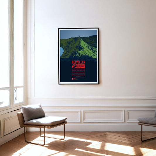
Helvellyn in the Lake District is the third highest and one of the most famous mountains in England. Its 500 meter long summit plateau is particularly striking. In 1926 even a small airplane successfully managed to land on it. On the steep and rocky east face of the Helvellyn, two ridges diverge and enclose the mountain lake Red Tarn. The southern Striding Edge is a popular route for easy climbing and scrambling. Additionally the summit can also be reached by mountain bike.
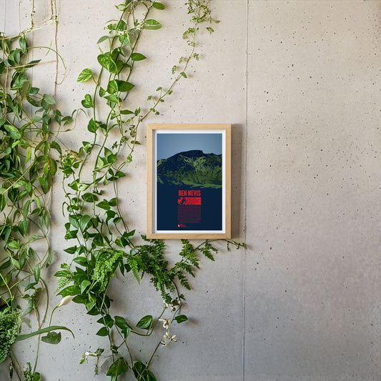
Ben Nevis, east of Fort William, is the highest mountain in Scotland and Great Britain. The Gaelic name “Beinn Nibheis” can be translated as “mountain with its head in the clouds”. The summit of the former volcano is covered in fog or rain 300 days a year due to its maritime location. The weather conditions pose a severe risk for mountaineers. The first documented ascent of Ben Nevis took place in 1771. Today it is one of the world's most frequented peaks. The 700 meter high northeast face is particularly popular for ice climbing.
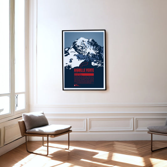
The Aiguille Verte, the “Green Needle”, is located in the Mont Blanc massif, east of Chamonix. With its rocky, pointed shape, it lives up to its name. The Aiguille Verte's massive rock face makes it one of the most challenging mountains to climb in the Alps. In some places the gradient reaches up to 55°, which is why even the normal route through the Whymper Couloir should not be underestimated. Additionally the mountain massif is surrounded by glaciers, which makes the ascent routes even more difficult.
Der Monte Stivo erhebt sich im Nordosten des Gardasees zwischen den beiden Tälern Valle dei Laghi im Westen und Vallagarina im Osten. Der Berggipfel bietet eine tolle Aussicht auf den nördlichen See sowie unter anderem auf die Gipfel von Marmolata, Adamellogruppe, Presanella und Sellagruppe. Nur etwa 40 Meter unterhalb des Gipfels befindet sich die Berghütte Rifugio Stivo Prospero Marchetti, die vom alpinen Verein Società degli Alpinisti Tridentini (SAT) betrieben wird.
The Weisshorn towers north of Zermatt in the Pennine Alps. The main summit of the Weisshorn group has a distinctive pyramid shape with three sharp ridges. Although there are many other four-thousanders in the area, the Weisshorn is relatively free-standing. The rock on the mountain's three faces is quite brittle, which is why they are hardly suitable for climbing. In order to reach the summit an altitude of 3000 meters has to be transcended, requiring a high level of stamina. The route via the southwest ridge is considered to be the most difficult way to the summit.
Südöstlich von Bad Reichenhall befindet sich der Untersberg, das nördlichste Gebirgsmassiv der Berchtesgadener Alpen. Die deutsch-österreichische Grenze verläuft über das ausgedehnte Gipfelplateau. Mit 1972 Metern ist der Berchtesgadener Hochthron dessen höchster Gipfel. Das gesamte Gebirgsmassiv ist von Karsthöhlen durchzogen. So befindet sich hier Deutschlands tiefste und längste bekannte Höhle sowie die einzige erschlossene Eishöhle. An den Nordhängen des Massivs wird seit der Römerzeit der bekannte Untersberger Marmor abgebaut.
South-east of Klagenfurt, close to the Slovenian border, the Obir massif rises in the Karawanks. Its highest elevation is the Hochobir. Because of the ore deposits around the Obir, mining was probably carried out here from the 12th century until the end of the 19th. In the process the Obir dripstone caves were discovered – today a protected monument – which were partly damaged by the mining work. Until 1947 the summit of the Obir was also home to one of the first weather stations in the Alps.
Mount Kailash is located in southern Tibet close to the Nepalese and Indian border, in a region that has long been considered one of the most inaccessible in the world. Its name meaning "precious snow crystal" was given due to its unique diamond shape. Especially in Buddhism and Hinduism Mount Kailash is considered to be a sacred mountain. Buddhists believe that circling around the mountain for 108 times leads to enlightenment. Due to the mountains religious significance, a climbing ban was issued. Thus Mount Kailash remains unclimbed to this day.
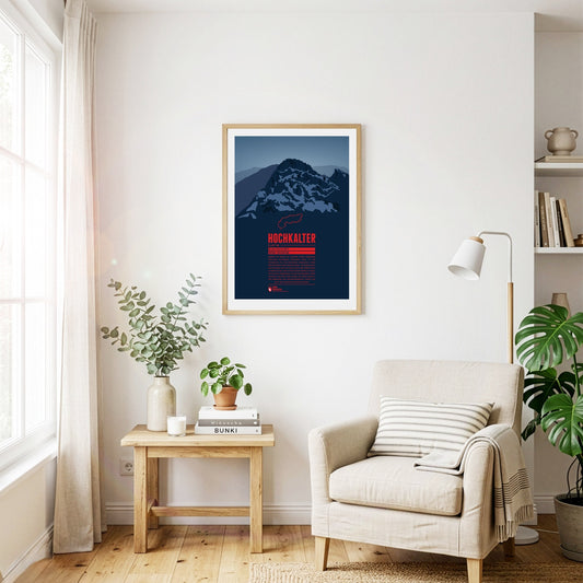
Obwohl er häufig im Schatten seines berühmten östlichen Nachbarns Watzmann steht, ist der Hochkalter im gleichnamigen Bergmassiv einer der höchsten Gipfel Deutschlands. An seiner Nordseite befindet sich mit dem Blaueis der nördlichste Alpengletscher. Noch etwas weiter nördlich befindet sich der Zauberwald voller Felstrümmer. Dieser entstand vor etwa 4000 Jahren bei einem gewaltigen Bergsturz am Hochkaltermassiv, durch den auch der Hintersee aufgestaut wurde.
Nach dem Mont-Blanc-Massiv ist der Monte Rosa das höchste Gebirgsmassiv der Alpen. Der höchste Gipfel, die Dufourspitze, ist der zweithöchste Berg der Alpen und der höchste der Schweiz. Östlich davon, direkt auf der Grenze zu Italien, liegt der Grenzgipfel, der 4618 Meter hoch ist, und weiter im Süden die Signalkuppe (4554 m). Direkt auf ihrem Gipfel steht mit der Capanna Regina Margherita (Margheritahütte) das höchstgelegene Gebäude Europas.
Der Mont Fort ist ein Dreitausender in den Walliser Alpen, der sich im Süden von Nendaz erhebt. Umgeben ist der Berg von drei Gletschern. Der Glacier de Tortin im Westen ist Teil des größten Skigebiets der Schweiz, 4 Vallées. Der Mont Fort lässt sich bequem per Seilbahn von Nendaz oder Verbier aus erreichen. Oben angekommen bietet sich einem bei passendem Wetter eine spektakuläre Aussicht auf die Bergmassive von Monte Rosa und Mont Blanc.