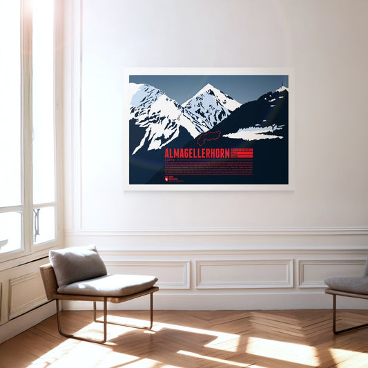
Durch seine Lage nahe vieler Viertausender der Walliser Alpen ist das Almagellerhorn nicht der auffälligste Gipfel der Region. Dabei hätte der formschöne Berg, der von Saas Fee aus als perfekte Felspyramide erscheint, alle Aufmerksamkeit verdient. Auch der Aufstieg, der nicht allzu schwierig ist, lohnt sich, denn vom Gipfel des Almagellerhorns hat man eine tolle Aussicht auf die umliegenden Gipfel und Gebirgszüge wie Weissmies im Norden, Stellihorn im Süden und natürlich im Westen die Gipfel von Mischabelgruppe und Monte Rosa.
Olympus Mons on Mars is the highest known mountain on the planets of our solar system. The shield volcano has a height of about 22 kilometers above the average ground level of Mars. It's base diameter is almost 600 kilometers wide. From a geological point of view Olympus Mons is still relatively young, and probably evolved about two million years ago.
South of the Chiemsee lake the Kampenwand rises with its distinctive rock mountain top, resembling of a rooster's comb (German: Kamm). This makes the mountain easy to spot, even from greater distances. Not on the main summit, but on the four meters lower east summit is the highest summit cross in the Bavarian Alps with a height of 12 meters. In winter the Kampenwand Cable Car transports skiers into the winter resort Kampenwand–Aschau on the northeastern slopes. Ascending the main summit, about 200 meters above the mountain station, is possible by hiking with only short climbing passages. But Kampenwand has much more to offer for climbers, mountainbikers, and freeriders.
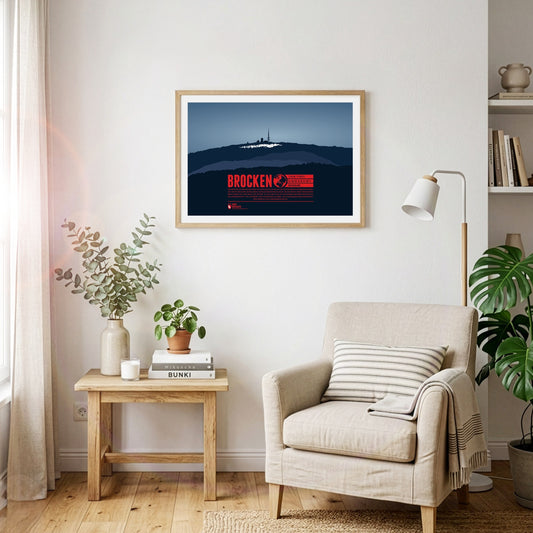
The Brocken is the highest peak of the Harz and is also considered to be the high point of Northern Germany. Since 1899 the summit can be accessed via the Brocken Railway. The mountain, which is often covered in fog, is also known under the name Blocksberg and lots of myths and legends are known about the Brocken. Some said it was a gathering point for witches. The optical illusion Brocken spectre, usually occuring during foggy periods, also played its part for the creation of many of the stories.
The Nordkette, also known as Northern Chain or Inn Valley Chain, is the southernmost mountain chain in the Karwendel. Its highest summit is Kleiner Solstein, which is nearly 100 meters higher than neighbouring Großer Solstein. The via ferrata Innsbrucker Klettersteig leads over seven summits of the chain, from Seegrubenspitze via Langer Sattel to the summit named Frau Hitt.
Korvatunturi lies in the Finnish part of Lapland, on the border to Russia. It is not so much its height, but rather the distinctive, sharp main summits which set the mountain apart from the surrounding area. Korvatunturi is especially well-known due to a popular Finnish story from the 1920s. According to the tale the mountain is the home of Joulupukki, the Finnish equivalent of Father Christmas.
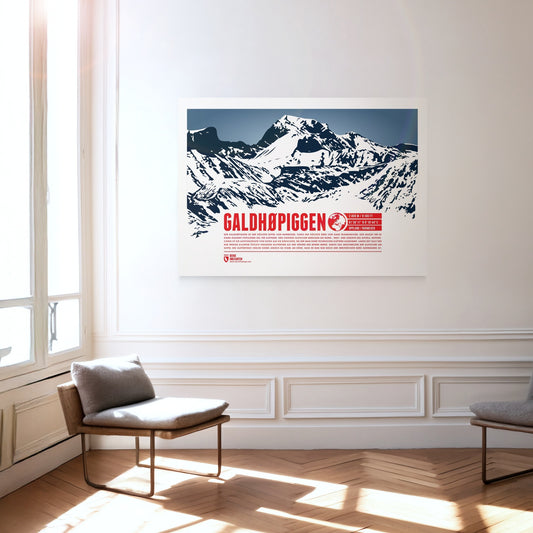
Der Galdhøpiggen ist der höchste Gipfel von Norwegen sowie der höchste Berg von ganz Skandinavien. Dies macht ihn zu einem äußerst populären Ziel für Kletterer. Drei größere Gletscher bedecken die Nord-, West- und Südseite des Gipfels. Entsprechend ist die Aufstiegsroute von Osten aus die einfachste, bei der man ohne technisches Klettern auskommt. Lange Zeit galt der nur wenige Kilomter östlich gelegene Glittertind als der höhere der beiden Berge. Durch das Abschmelzen der Gletscher am Gipfel des Glittertinds verlor dieser jedoch so stark an Höhe, dass er nun nur noch der zweithöchste Berg Norwegens ist.
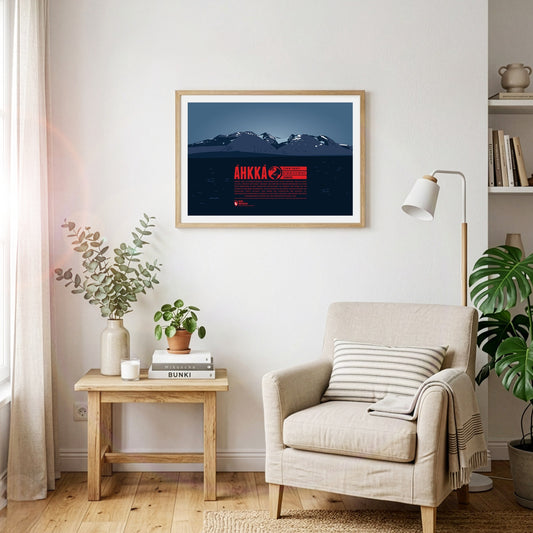
Áhkká is situated in northern Sweden, in the Stora Sjöfallet national park. It is also known as the “Queen of Lapland”. The mountain massif is dominating its surrounding area and is of high importance in the Sami culture. Its name refers to the mother goddess Maderakka. The summit region of the Áhkká-massif consists of twelve peaks with Stortoppen being the highest. Nordosttoppen (north east peak) also reaches a height of over 2000 meters. The first recorded ascent of Stortoppen was accomplished in 1924.
Marmolada is known as the Queen of the Dolomites and the highest mountain of the range. The Ghiacciaio della Marmolada on the north face is the last major glacier of the Dolomites. The area is especially popular for hiking. The so-called “Dream Path” from Munich to Venice is one of the famous routes running around the mountain.
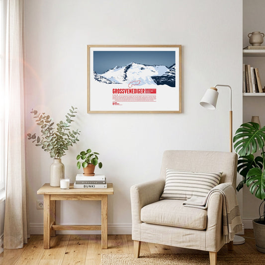
The highest summit of the Austrian state Salzburg lies on the border to Tyrol and is the high point of the Venediger Group, the westernmost mountain range of the High Tauern. The Großvenediger's characteristic summit is determined by its glaciers and the prominent ridges, running along towards all four cardinal points of the compass.
Monte Resegone is one of the most famous mountains of Lombardy. Although not being a tall mountain in height it still appears impressive with about a dozen different peaks stretching over a length of roughly three kilometers. The highest point of the mountain is Punta Cermenati. Monte Resegone rises about 1500 meters over the town of Lecco at Lake Como in the west. On clear days the summit area is visible from as far as Milan.
Der Olperer ist mit 3476 Metern Höhe der dritthöchste Gipfel der Zillertaler Alpen in Tirol sowie die höchste Erhebung des Tuxer Kamms. Von Osten gesehen erscheint der Berggipfel als nahezu perfekte Felspyramide. Die Besteigung des Olperers über die Normalroute von Südosten ist mit einfachen Kletterpassagen zu bewerkstelligen. Anspruchsvoller ist der Weg von der Geraer Hütte über Olpererferner, Wildlahnerscharte und schließlich den Nordgrat des Bergs.
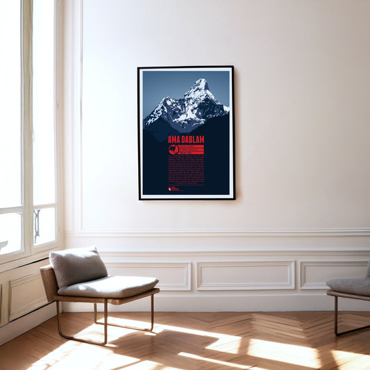
Als „Matterhorn des Himalaya“ wird die Ama Dablam gelegentlich bezeichnet, doch dieser markante Gipfel setzt ganz eigene Schönheitsmaßstäbe. Auf dem Weg zum Everest Base Camp dominiert der Berg lange Zeit das östliche Panorama der Wanderer und Bergsteiger. Wie die Arme einer fürsorglichen Mutter oder „Ama“ reichen die auffälligen Grate vom Gipfel nach unten. Der dazwischen hängende Gletscher erinnert an einen sogenannten „Dablam“, einen traditionellen Anhänger der Sherpa-Frauen. Hinter Everest und Cho Oyu ist die Ama Dablam der populärste Berg für Kletterer im Himalaya. Im Gegensatz zum höchsten Berg der Erde, der vor allem im Mai bestiegen wird, ist an der Ama Dablam der Herbst die beliebteste Aufstiegssaison.
Risserkogel, the second highest summit of the Tegernsee Mountains, is situated south of the slightly lower Plankenstein whose distinctive peaks make it a popular destination for climbers. The ascent to the summit of Risserkogel can be achieved with a two to four hour hike, depending on the chosen path. This makes the mountain a popular destination, notably for the inhabitants of Munich and the surrounding area.
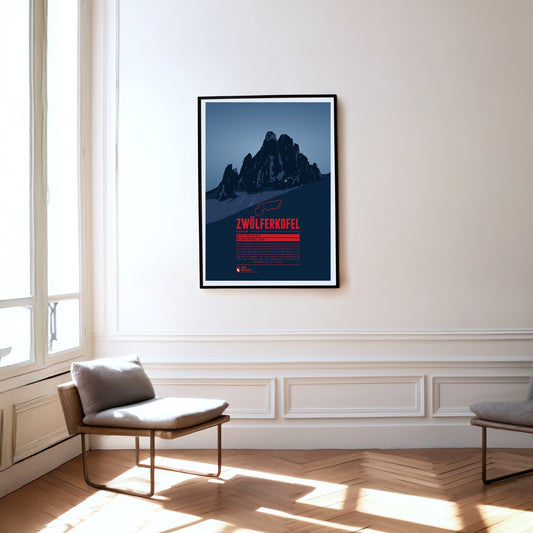
The Zwölferkofel or Zwölfer (Twelver) is one of five mountains which together form the Sexten Sundial. Seen from Moos near the town of Sexten, at noon (solar time) the sun is roughly over the Zwölferkofel's summit. Accordingly the neighbouring summits are named with numbers from nine to one (in German: Neuner, Zehner, Elfer, and Einser). As many Dolomite peaks, for climbers the Zwölferkofel is a popular and challenging destination.
Wie mit weißem Moos bedeckt erscheint der schneebedeckte Gipfel des Weissmies. Diesem Umstand verdankt der Berg seinen Namen, denn „Mies“ bedeutet im lokalen Dialekt „Moos“. In den Walliser Alpen gelegen ist der Weissmies höchster Gipfel und Namensgeber der Weissmiesgruppe. Er wurde 1855 zum ersten mal bestiegen und gilt als einer der leichter zu erklimmenden Viertausender. Vom Gipfel schweift der Blick über die Nachbargipfel der Gruppe, die Mischabelkette bis zum Monte Rosa sowie hinunter ins Saastal auf Saas-Fee im Westen und das Simplontal im Osten.
The Vesulspitze is located east of Ischgl in Tyrol and is part of the Samnaun Alps. Apart from the Piz Rots on the Swiss-Austrian border it is the highest peak of the mountain range on the Austrian side. When standing on top of the Vesulspitze one can not only admire the mighty wooden summit cross. As a relatively free-standing Three-thousander it also offers a great panorama of the surrounding mountains and valleys.
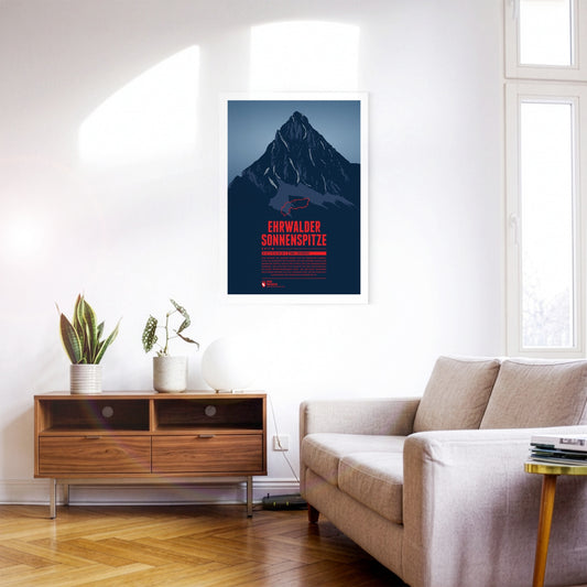
Seen from the north the Ehrwalder Sonnenspitze rises as a distinctive stone pyramid in front of the other summits of the Mieming Range. East of the summit is the beautiful lake Seebensee, which offers a great view onto the Zugspitze in the Wetterstein mountains. The Alpine hut Coburger Hütte at the Drachensee in the south is a popular starting point for summit attempts of the Sonnenspitze.
Etwa 1000 Meter erhebt sich der Sassongher als mächtiger Felsturm über das südliche Gadertal und den Ort Corvara. Der markante Berg ist Teil des Naturpark Puez-Geisler, in dessen Südosten er sich befindet. Den Gipfel des Sassongher zu erreichen ist erfahrenen Kletterern vorbehalten. Für die Mühen wird man mit einer beeindruckenden Aussicht von oben belohnt. Der Berg ist bekannt für die tollen Panoramen anderer Dolomitengipfel von Fanesgruppe über Sellastock bis zur Marmolata.
Piz Vallatscha is a Three-thousander in the Sesvenna Alps, a mountain group in the border triangle between Tyrol in Austria, South Tyrol in Italy, and the Swiss canton Graubünden. North west of the summit is the higher Piz Tavrü. In the south east the lifts of the ski area Minschuns reach a height of 2700 meters. South of the Piz Vallatscha is the Fuorn Pass, an important and old part of the connection betwenn the valleys of Inn and Adige (Etsch).
Auf der Südseite der Graubündner Gemeinde Disentis/Mustér erhebt sich der Piz Muraun. Dem Gipfel gegenüber liegen im Norden Piz Ault und Oberalpstock. Im Süden ragt der gut 300 Meter höhere Piz Medel empor. Auch wenn der Aufstieg zum Gipfel des Piz Muraun ohne echte Kletterpassagen zu bewerkstelligen ist, handelt es sich doch um eine anspruchsvolle Wanderroute. Für weniger sportlich Geübte empfiehlt sich eine Fahrt mit dem berühmten Glacier Express nach Disentis, die eine spektakuläre Aussicht auf den Berg bietet.
Piz Medel is a peak in the Adula Alps, a part of the Lepontine Alps on the border between the Swiss cantons of Graubünden and Ticino. West of the summit is the Greina, an important Alpine pass between the two cantons, which was already used in ancient times. A number of huts are situated around the summit as starting points for tours around the mountain, among them the Medel Hut. As many other mountains in the area the Piz Medel is a worthwile destination for ski mountaineering.
The Piz Ault lies south of the Oberalpstock. Both mountains rise above the Vorderrhein valley and the town of Disentis. The ski lifts of the ski resort Disentis 3000 go up as high as 2800 meters, just below the summit of the Piz Ault. A popular stop in the summer and the winter is the hut of the Swiss Alpine Club Camona da Cavardiras west of the mountain, on the other side of the Brunni Glacier.
Pierra Menta is situated east of Albertville in the Beaufort region. The rougly 2700 meter high rock peak fascinates hikers and climbers alike, due to its characteristic shape. Pierra Menta is most of all known for the legendary skimountaineering race, which is named after the mountain and taking place in the area each year. It is one of the three most important races in the Alps in this sport.
Visible from far away, the Ötscher rises to a height of 1893 meters in the Ybbstal Alps, in the east of the Northern Limestone Alps. The Ötscher appears especially impressive when viewed from the north or south, when you can see the mountain massif in its full extension. The name of the mountain goes back to Slavic inhabitants, living in the area in the 9th century, who called the mountain “Othza” (father mountain). All year round Ötscher is a popular destination for hikers and climbers. The ski area Lackenhof is situated north west of the summit.
The Oberalpstock is one of the highest mountains in the Glarus Alps and rises between the northern Maderranertal in the canton of Uri and Surselva, the Vorderrhein valley in Graubünden in the South. Among the major characteristics of the mountain are its four ridges which meet close to the summit. The first ascent of the Oberalpstock was accomlished from the south eastern side, which is still the normal route today. Apart from hikers and climbers the mountain is also a popular destination for ski mountaineering.
The Lugauer rises far over 1000 meters west of the Radmer valley. The distinctive double summits western slope is not as steep and especially popular among many of the skiriders which visit the mountain each year. The great panorama from the summit is reflected in the name of the mountain. “Lug auer” in the local dialect can be translated as “look down”.
Les Diablerets (The Abode of Devils) lie on the border of the Swiss cantons of Valais and Vaud. The highest summit of the group, the Sommet des Diablerets, is also the high point of Vaud. Among the other major peaks of the group are the Oldenhorn, where the border of the third canton of Bern meets the other two, and the almost 3000 meter high Sex Rouge. The latter can be accessed via an aerial lift since the 1960s, which becomes part of the ski resort Glacier 3000 during the winter season.
The Lagginhorn is the second four-thousander in the Weissmies Group in Valais, close to the Italian border. It is also the lowest four-thousander in Switzerland. The ascent of the Lagginhorn is considered to be only slightly more difficult than that of the neighbouring Weissmies, which is only 7 metres higher. The popular normal route to the summit, which was already chosen for the first succesful ascent in 1856, starts in Saas-Grund in the valley and goes via the Weissmieshütte in about 2700 metres.
Situated nearby the four-thousanders of the Pennine Alps, the Jegihorn appears rather small. However the peak is a popular destination for climbers. The rope bridge on the via ferrata Jägihorn is particularly famous and opened from June to October. From the top of the Jegihorn a breath-taking panorama offers views of the neighbour summits of the Mischabel Group, the Bernese Alps, and the Rhône Valley.
In the east of Val Badia the summits of Sas dla Crusc rise into the sky. For Alpinists the mountain offers a broad range from easy to the most difficult routes. West of the summit the chapel Santuario di Santa Croce and the mountain refuge Hospiz dla Crusc are situated, which were both named after the mountain. The Sas dla Crusc is mentioned much earlier, for instance in the Ladin legend of the Kingdom of Fanes.
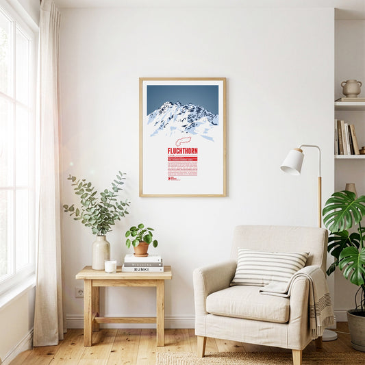
The Fluchthorn has three major peaks, of which the southern summit, Südliches Fluchthorn, was the highest at 3399 meters for a long time. However, after a massive rockfall on the southern summit in June 2023, which tore the summit cross with it, the middle peak, Mittleres Fluchthorn, has become the highest point of the mountain. Not only does the border between Austria and Switzerland run across the Fluchthorn peaks, but also the border between the German and Romansh language areas. In Romansh, the Fluchthorn is known as Piz Fenga.
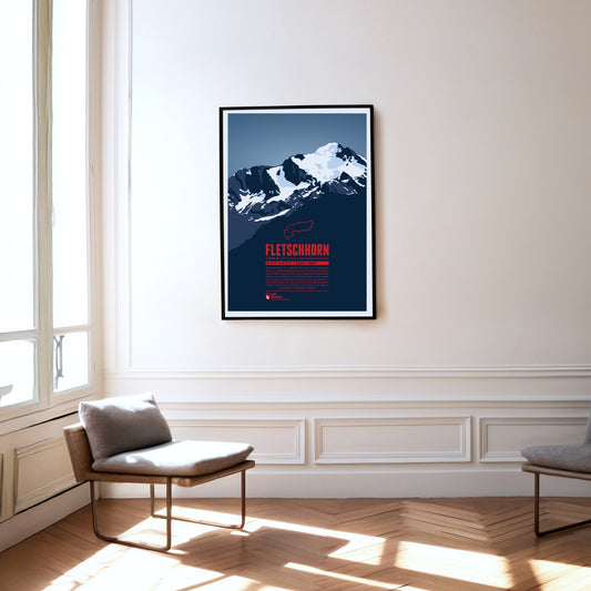
At the beginning of the 20th century the Fletschhorn was regarded as a four-thousander in the Alps. Due to the melting glaciers on the summit the elevation was updated to 3993 metres in the 1950s and 3985 metres in 2012. The Fletschhorn is the northernmost of the three great summits of the Weissmies Group. The Fletschjoch canyon separates it from the Lagginhorn in the south.
The Fichtelberg is the highest mountain of the German state of Saxony and the high point on the German side of the Ore Mountains. The highest mountain of the entire range, the Klínovec in Czech, is close-by in a distance of only three and a half kilometres. The largest ski resorts of the Ore Mountains are situated around both mountains. In combination they form the most important centre for winter sports in the area.
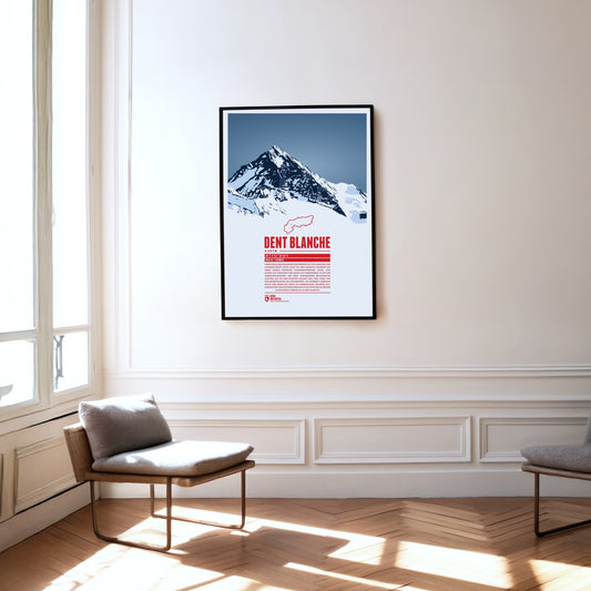
The southern neighbour Matterhorn steals a lot of the attention but the pyramid-shaped summit of Dent Blanche is most fascinating nonetheless. From here four ridges run almost perfectly towards the four cardinal points. The first documented ascent of Dent Blanche was accomplished in 1862, three years before the first ascent of the Matterhorn. The chosen route at the time from the south is still the normal route today. The hut of the Swiss Alpine Club Cabane de la Dent-Blanche is a popular starting point for summit attempts.
Three Swiss cantons border on the top of the Brienzer Rothorn. A cable car from Sörenberg in Lucerne almost reaches the summit from the northern side. In the winter the are is part of the ski resort Sörenberg / Rothorn. The mountain station of the other cable car, going up from Brienz in Bern from the south, is located about 100 meters below the summit. The Brienzer Rothorn is known for the Alpine ibexes which populate its slopes. One might spot the animals when following the route of the “Ibex Trek” starting at Sörenberg.