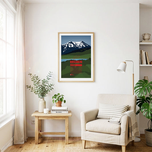
South of the Tegernsee rises the Hirschberg, with its main summit in the west and a fore-summit about 15 metres lower in the east. Despite its comparatively modest height, the mountain is visible from far to the north and greets the inhabitants of the Bavarian Alpine foreland. The summit can be reached on various walking paths and offers an excellent view that in good weather stretches from the Roßstein across the Zugspitze to the Großglockner.
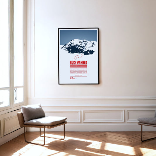
The Hochwanner, on the border between Bavaria and Tyrol, is Germany’s highest point outside the Zugspitze massif. Its impressive north face drops more than 1400 metres towards the Reintal. The first ascent was made in 1870 by what is now the normal route from the south, out of Tyrol. In the summer months there is a good chance of meeting the marmots that live here during the climb. At the top, a fine view opens up over neighbouring mountains such as the Alpspitze to the north and the Mieming Chain to the south.
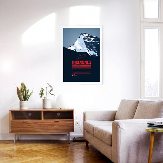
The Birkkarspitze is the highest mountain in the Karwendel. Together with the three Ödkarspitzen peaks west of the summit, it forms an impressive massif. The Karwendeltal runs to the north of the Birkkarspitze. Its length and gentle gradient make it ideal for mountain biking, and long ski tours with an impressive panorama are popular there too.
The Riedberger Horn is a striking grassy mountain in the Allgäu and the highest summit of the Hörner group north-west of Oberstdorf. The top is easy to reach and offers a beautiful view of the Allgäu High Alps with the Hochvogel and the Großer Krottenkopf. The area around the Riedberger Horn is considered ideal walking country for families and for people without previous experience; only the route over the north-east ridge is a little more challenging.
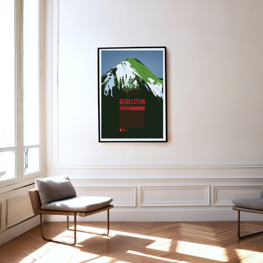
The Geigelstein is the third-highest mountain in the Chiemgau Alps and the highest of its summits to lie entirely in Bavaria. With its summit ridge of a good 100 metres and its sloping flanks, the mountain resembles a pointed roof, especially when seen from the south. Protests against the construction of a larger ski area on the Geigelstein led to a good 300 hectares being placed under nature protection in 1991. Among other things, it is an important breeding ground for peregrine falcons.
As one of the western summits of the Daumen Group the Rubihorn and its summit cross tower west of the Nebelhorn and north of the Schattenberg. The mountain is named after the town Rubi, which is situated north of Oberstdorf. The mountain top offers a stunning view over the Iller Valley and the surrounding summits. One of the most scenic routes to the summit leads from the east along the picturesque Gaisalpsee.
South-east of Bad Reichenhall lies the Untersberg, the northernmost massif of the Berchtesgaden Alps. The German-Austrian border runs across its extensive summit plateau. At 1972 metres, the Berchtesgadener Hochthron is its highest peak. The whole massif is riddled with karst caves: Germany's deepest and longest known cave is found here, as is the country's only show ice cave. The famous Untersberg marble has been quarried on the northern slopes of the massif since Roman times.
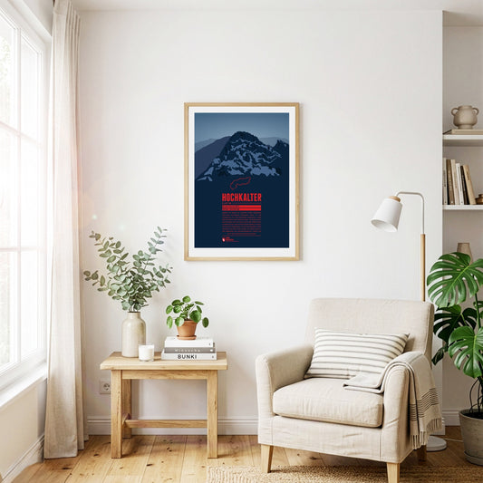
Although it often stands in the shadow of its famous eastern neighbour, the Watzmann, the Hochkalter in the massif of the same name is one of the highest summits in Germany. On its north side lies the Blaueis, the northernmost glacier in the Alps. A little further north lies the Zauberwald, a forest strewn with boulders. It was formed around 4000 years ago by an enormous rockslide on the Hochkalter massif, which also dammed up the Hintersee.
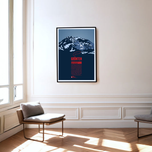
The Grünten is known as the Watcher of the Allgäu and is located south of Kempten, near the fringe of the Alps. During the Middle Ages the Grünten had already been climbed for the first time and a large deposit of iron ore was discovered. From the 15th to the 19th century many mining tunnels were dug. The iron ore production required large amounts of wood and the forest clearings on its slopes gave the Grünten ist name, since in the local dialect it simply means “bald head”.
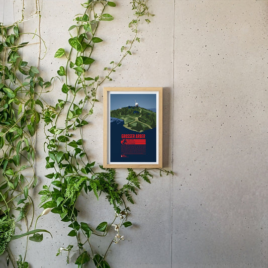
The Großer Arber or Great Arber is also known as the "King of the Bavarian Forest", since it is the high point of the mountain range. The mountain is surrounded by nature reserves and two lakes, close to the Czech border. Hiking trails and ski slopes make the Großer Arber an attractive tourist destination. On a clear day the view from the summit reaches as far as to the Alps. Next to the Aber chapel, which is just below the summit, two air force radar stations can be found, as relics of the Cold War.
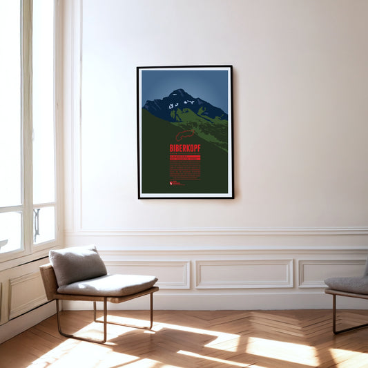
The Biberkopf (beaver's head) rises at the end of the main ridge of the Allgäu Alps and is considered to be Germany's most southern mountain. The border to Austria runs along the distinctive summit. The name of the mountain goes back to larger beaver colonies that populated the nearby Lechtal and the surrounding high moors. Beavers are also part of the traditonal womens' costumes of the area which include beaver hats.
Southwest of Oberstdorf, on the border between Bavaria and Vorarlberg the Söllereck rises as the northernmost summit of the Fellhorn ridge. The mountain is thus situated between the entries to the valleys Kleinwalsertal in the west and Stillachtal in the east. Via the Söllereckbahn aerial lift one reaches the summit station on 1358 meters. In the winter it is part of the ski area Oberstdorf / Söllereck.
The Nebelhorn is a summit in the Daumen Group of the Allgäu Alps, rising east of Oberstdorf. The aerial lift Nebelhornbahn brings passengers almost directly onto the summit, making it the highest aerial lift of the Allgäu. Even the Nebelhorn Trophy, a yearly international figure skating competition at Oberstdorf is named after the mountain.
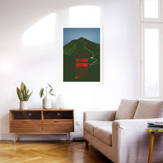
The Fellhorn is known as the flower mountain of the Allgäu Alps, especially due to the large fields of alpenroses on its slopes. As part of the Schafalp-group in previous times the mountain was also known under the name “Schlappolder Spitz”. From the Stillachtal valley the aerial lift Fellhornbahn takes visitors to a height of about 70 meters below the summit.
The Trettachspitze is the highest mountain of the Allgäu Alps to lie entirely in Bavaria. Because of its appearance, the striking summit is also called the ‘Matterhorn of the Allgäu’. The ascent of the Trettachspitze is reserved for experienced climbers; the easiest line is the route over the north-west ridge. Various routes on the mountain’s west face are climbed particularly often.
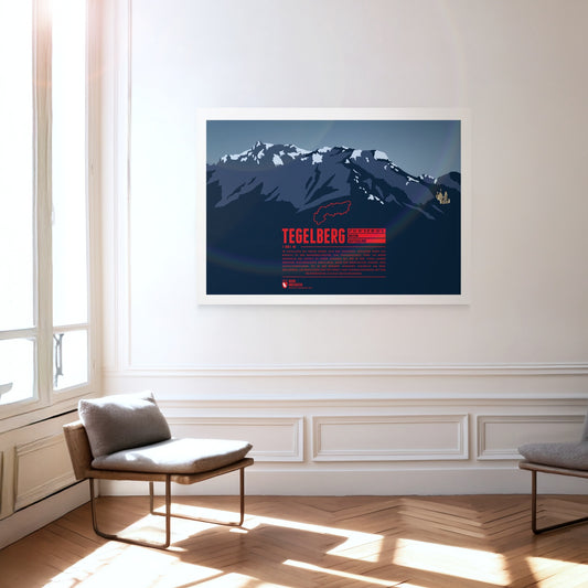
The Tegelberg rises in the Allgäu near Füssen. The highest summit of the massif is the Branderschrofen. The Tegelberghaus lies about 150 meters below the summit and can be accessed with the cable car Tegelbergbahn. Close to the mountain station is a popular starting point for paragliders who appear in large numbers during the warm season. On the western foot of the mountain is Hohenschwangau with the world famous Neuschwanstein Castle.
South of the Chiemsee lake the Kampenwand rises with its distinctive rock mountain top, resembling of a rooster's comb (German: Kamm). This makes the mountain easy to spot, even from greater distances. Not on the main summit, but on the four meters lower east summit is the highest summit cross in the Bavarian Alps with a height of 12 meters. In winter the Kampenwand Cable Car transports skiers into the winter resort Kampenwand–Aschau on the northeastern slopes. Ascending the main summit, about 200 meters above the mountain station, is possible by hiking with only short climbing passages. But Kampenwand has much more to offer for climbers, mountainbikers, and freeriders.
The Brocken is the highest peak of the Harz and is also considered to be the high point of Northern Germany. Since 1899 the summit can be accessed via the Brocken Railway. The mountain, which is often covered in fog, is also known under the name Blocksberg and lots of myths and legends are known about the Brocken. Some said it was a gathering point for witches. The optical illusion Brocken spectre, usually occuring during foggy periods, also played its part for the creation of many of the stories.
Risserkogel, the second highest summit of the Tegernsee Mountains, is situated south of the slightly lower Plankenstein whose distinctive peaks make it a popular destination for climbers. The ascent to the summit of Risserkogel can be achieved with a two to four hour hike, depending on the chosen path. This makes the mountain a popular destination, notably for the inhabitants of Munich and the surrounding area.
The landscape on Föhr is flat and characterized by meadows and agricultural areas. In addition to the main town of Wyk, there are many small, picturesque villages. The beaches are narrow but very popular for swimming.
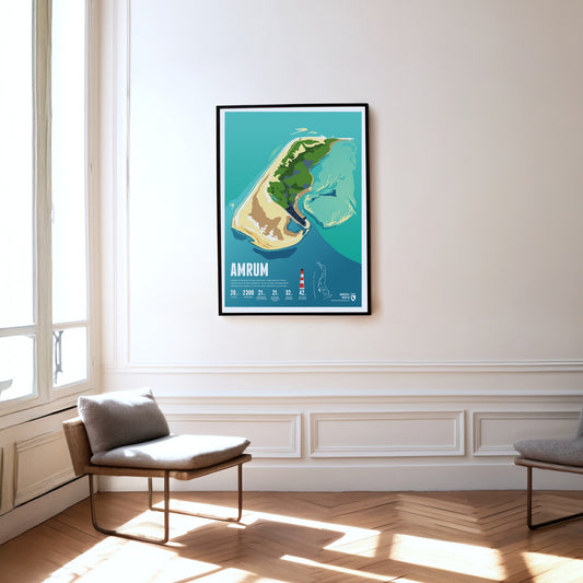
Amrum is known for the Kniepsand, its wide beach, which is actually a sandbank that wanders around the island. Amrum's landmark is the red and white striped lighthouse.
Langeneß is the largest Hallig in the Wadden Sea. Its inhabitants live on 18 dwelling mounds that turn into small islands during storm surges. Goods reach the island by narrow-gauge trolley line.
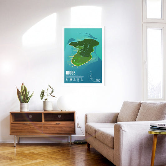
Hooge is the second-largest Hallig in the Wadden Sea. Its houses stand on ten inhabited dwelling mounds that protect them from storm surges. A low dyke guards against even more frequent flooding.
About 20 people live on the Hallig of Nordstrandischmoor, spread across four dwelling mounds. The island school is one of the smallest schools in Germany. A narrow-gauge trolley line connects the Hallig with the mainland.
Pellworm lies amid mudflats. The island is protected all around by a dyke, without which it would flood regularly. There is no sandy beach here, but plenty of peace and quiet.
Lying in the mudflats off the Elbe estuary, the island of Neuwerk forms – together with the uninhabited neighbouring islands of Scharhörn and Nigehörn – the northernmost and westernmost district of Hamburg.
Wangerooge's shape is reminiscent of a seahorse. The island was hit by bombs in the Second World War. Today things are peaceful, with the island railway trundling gently through the landscape.
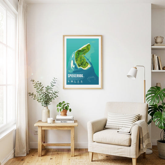
Car-free Spiekeroog is exceptionally close to nature and quiet. The island is known for its idyllic village – even bicycles are considered too hectic here. Untouched wilderness reigns on the Ostplate sandbank.
The car-free island is particularly popular with families. The colourful island railway carries visitors into the village. Langeoog's landmark is the water tower built on a dune.
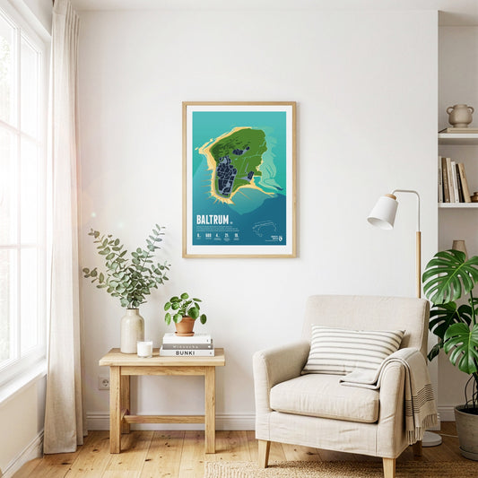
Baltrum is considered especially restful thanks to its tranquillity. Instead of street names, the small car-free island has only house numbers – the oldest houses carry the lowest ones.
Norderney was the first German seaside resort on the North Sea, as the historic spa buildings still testify today. In the west there are plenty of pubs and bars, in the east – solitary nature.
The car-free island is nowhere wider than 900 metres, so the sea is never far away and its surf is always audible. On Juist, horse-drawn carriages carry people and goods.