Seaside tourism flourished on Borkum in the 19th century. Historic buildings along the beach promenade still bear witness to it today. The Borkum narrow-gauge railway picks up visitors at the harbour.
The beach on the largest and most popular German North Sea island among tourists is 40 kilometers long. It is considered a travel destination for the rich and famous. A railway embankment connects Sylt with the mainland.
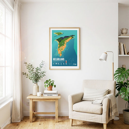
Helgoland is almost 50 kilometers away from the mainland. In its history, the small island often changed state affiliation. It is famous for its red rocks where seabirds breed.
The Fichtelberg is the highest mountain of the German state of Saxony and the high point on the German side of the Ore Mountains. The highest mountain of the entire range, the Klínovec in Czech, is close-by in a distance of only three and a half kilometres. The largest ski resorts of the Ore Mountains are situated around both mountains. In combination they form the most important centre for winter sports in the area.
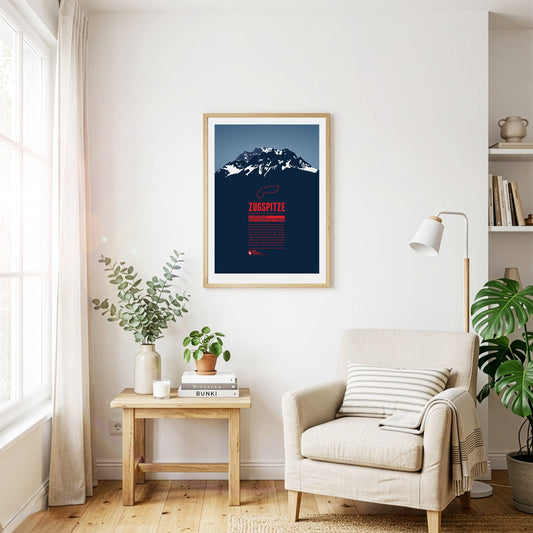
The Zugspitze is Germany's highest mountain and the highest peak of the Wetterstein Mountains. Below the summit there is a ski area and three glaciers which will probably disappear in the years to come in course of the climate change. An asteroid has been named after the Zugspitze. On the summit which can be reached with three different aerial lifts there is even a little theme park.
Legend tells that the Watzmann is a royal family, turned into stone after being cursed by a woman. As the central massif of the Berchtesgaden Alps it shapes the entire landscape of southeastern Upper Bavaria. The east face is one of the most fascinating challenges for climbers in the entire Alps.
Located in the Ammergau Alps, on the German-Austrian border, Säuling is the landmark mountain of the town of Füssen, which is situated in the north west. The summit offers a spectacular view of the nearby lakes, and also of the two castles of Hohenschwangau and world-famous Neuschwanstein. Even though the Säuling's summit appears rather pyramid-shaped, its name is presumably derived from the German word “Säule” (pillar), since the mountain rises up steeply above the surrounding area.
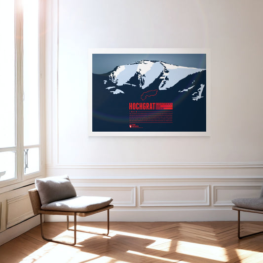
The iconic and local mountain of Oberstaufen is the highest peak of the Nagelfluhkette and of paramount importance for both tourism and geography. The aerial lift Hochgratbahn takes you up to about 125 metres below the summit. On the mountain slopes one can find many Alpine pastures. The Hochgrat mountain run is one of the sportive highlights in the district of Oberallgäu.
The Hoher Ifen, or Hochifen, is the highest point of the ifen plateau, which goes up tilted to the Ifenmauer, the northern rock face. Even though not being one of the highest summits of the Allgäu Alps, it offers a wide view over the German-Austrian border region. The Gottesacker (“God's Acre”) in the north, an almost moonscape-like karstic plateau, is particularly impressive. Today it is a nature reserve and home to rare animals and flowers. In 1998 a dwelling site from the Stone Age on the eastern flank was discovered, and later excavated.
The Höfats, also known as “the Matterhorn of the Allgäu”, is the Allgäu's most characteristic grass mountain. Ascending the four, almost equally high summits is very challenging, due to very steep grass and schrofen faces. The reward is a unique flora, which has no resemblance anywhere else in the Allgäu. In 1911 a protected area for plants was established around the Höfats. The edelweiss, which had been almost extinct, can nowadays be found again, in clusters of 30 blossoms and more.
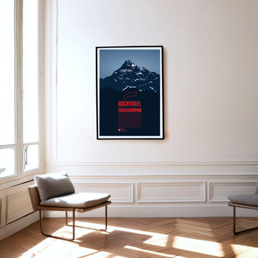
The Hochvogel is not the highest mountain of the Allgäu Alps, but one of its most iconic and best-known summits. It offers a breathtaking panoramic view from the top. To the east you can see Wetterstein and Karwendel, to the south the view takes you up to the High Tauern. In the west the Swiss Alps with Säntis and Tödi show and in the north you can see the Black Forrest and the Swabian Jura.
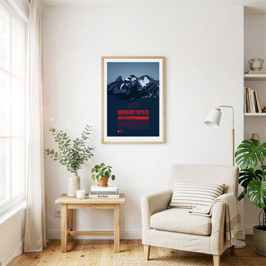
The Hochfrottspitze is the highest mountain on the German side of the Allgäu Alps. Trettachspitze, Mädelegabel and Hochfrottspitze form the famous triumvirate of peaks. The cliffy wilderness on the south side used to be called “Frut”, from which the mountain probably received its name. Inhabitants of nearby Oberstdorf also call the mountain one of the three Trettach peaks.
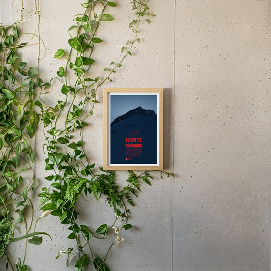
The Alpspitze is located in the Wetterstein mountains close to Germany's highest mountain, the Zugspitze. In spite of its low prominence the mountain's unique pyramid shaped peak makes it one of the most iconic mountains of the Northern Limestone Alps and one of the best-known landmarks of nearby Garmisch-Partenkirchen.