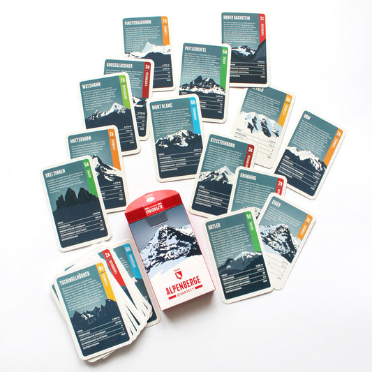
The Monte Pelmo is a mighty, free-standing dome of rock and one of the highest summits in the Dolomites, rising impressively out of the surrounding valleys. From the north-west it gives the impression of a gigantic armchair: the summit block in the middle, with the Monte Pelmetto and the north-west ridge as armrests. That is why the Pelmo is also called ‘God’s armchair’.
The Weißkugel is the third-highest mountain in Austria. Its position directly on the main Alpine crest also makes it the highest summit on the Austrian-Italian border. Four summit ridges meet on the Weißkugel, with glaciers between them. One of them, the Hintereisferner, has been studied scientifically for more than 100 years – one of the longest continuous time series in glacier research.
The Königspitze (Italian: Gran Zebrù) lies south of the Ortler and forms a striking trio with it and the Zebrù. It is only the second-highest mountain in the Ortler Alps, but is often called the most beautiful of them. In the 19th century the mountaineer Julius Meurer described the Königspitze as the ‘most perfectly formed, most distinguished mountain in the whole of the Eastern Alps’.
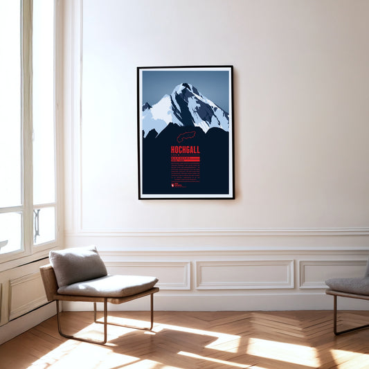
The Hochgall, or Collalto, is a border mountain between Austria and Italy and the highest summit of the Rieserferner group – a stately, trapezoidal block with a striking summit ridge. The mountain closes the gap between the Hohe Tauern, the Zillertal Alps to the west and the Tauferer valley in South Tyrol. It can therefore be climbed from either Austria or Italy.
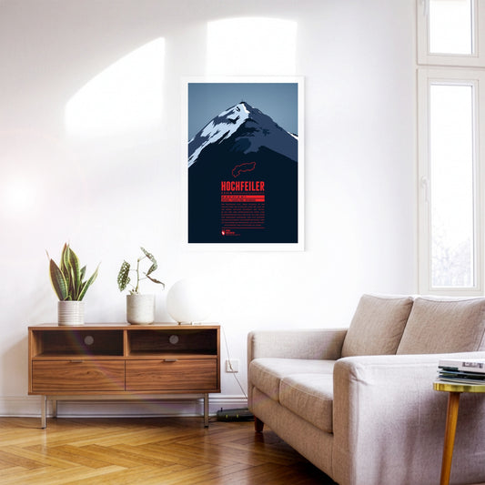
The Hochfeiler (Italian: Gran Pilastro) is the highest mountain in the Zillertal Alps and lies on the border between Austria and Italy. It has two very different sides. From the Schlegeis reservoir the eye falls on an icy, forbidding north face. Anyone approaching from the south-west out of the Pfitsch valley, by contrast, sees the flanks of the Hochfeiler running comparatively gently down towards the valley.
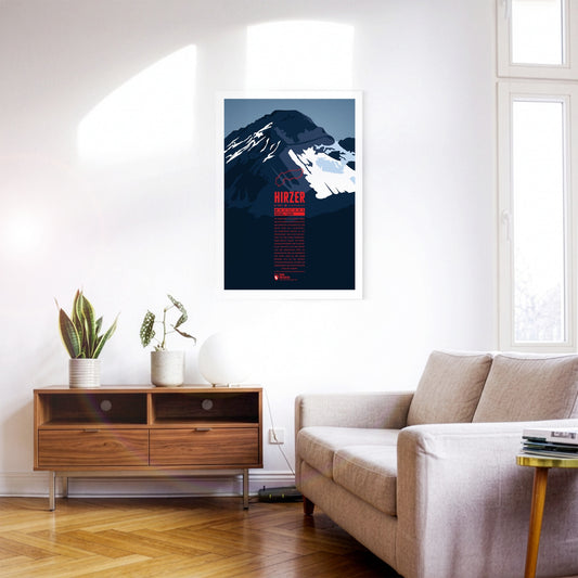
North-east of Merano, the Hirzer rises as the highest summit of the Sarntal Alps, more than 2000 metres above the Passeier valley. This tourist region is well developed, which also makes the ascent of the Hirzer comparatively easy. The Hirzer cable car carries its passengers to an altitude of 1980 metres, and from the top station the normal route leads past the Hirzer hut to the summit. Around the Hirzer run the Waalwege typical of South Tyrol – irrigation channel paths once built to water the apple orchards.
The Mutspitze is the local mountain of Dorf Tirol and forms the south-eastern end of the Texel Group in the Ötztal Alps. The summit is a popular destination for day hikes and offers magnificent views down the valleys south towards Merano and north into the Spronser Valley and the rest of the Texel Group. The ascent starts with the Hochmuth cable car and from there either from the east via the Mutkopf or from the west via the Leiter Alm and the Taufenscharte. The demanding route is easily manageable thanks to the hiking trails carved into the rock.
West of the Sella group the peaks of the Langkofel or Sassolungo Group form a nearly perfect half circle. The two dominant summits are the Langkofel (Sassolungo) in the northeast as the highest peak of the group and Plattkofel (Sasso Piatto) in the southwest. Due to the many ski resorts in the winter the area can be accessed with various aerial lifts, among them a gondola from Sella Pass to the mountain hut Utia Toni Demetz. The famous ski circuit Sella Ronda also leads alongside the Langkofel Group.
The rocky spires of the Rosengarten group rise to the east of Bolzano in the Dolomites. Its highest summit is the Kesselkogel. At sunset, the rock of this popular viewpoint glows in magnificent shades of red – a phenomenon known as alpenglow, or enrosadira in Ladin. Legend surrounds the mountain: the dwarf king Laurin is said to have cursed the Rosengarten after losing a battle for the king's daughter. The "Gartl" was to be visible neither by night nor by day, which is why today it appears only at dusk, during the alpenglow.
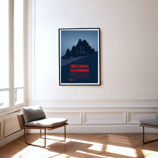
The Zwölferkofel or Zwölfer (Twelver) is one of five mountains which together form the Sexten Sundial. Seen from Moos near the town of Sexten, at noon (solar time) the sun is roughly over the Zwölferkofel's summit. Accordingly the neighbouring summits are named with numbers from nine to one (in German: Neuner, Zehner, Elfer, and Einser). As many Dolomite peaks, for climbers the Zwölferkofel is a popular and challenging destination.
The Sassongher rises some 1000 metres as a mighty rock tower above the southern Val Badia and the village of Corvara. The striking mountain is part of the Puez-Odle Nature Park, in whose south-east it lies. Reaching the summit of the Sassongher is reserved for experienced climbers. The effort is rewarded with an impressive view from the top: the mountain is known for its splendid panoramas of other Dolomite peaks, from the Fanes group and the Sella massif to the Marmolada.
In the east of Val Badia the summits of Sas dla Crusc rise into the sky. For Alpinists the mountain offers a broad range from easy to the most difficult routes. West of the summit the chapel Santuario di Santa Croce and the mountain refuge Hospiz dla Crusc are situated, which were both named after the mountain. The Sas dla Crusc is mentioned much earlier, for instance in the Ladin legend of the Kingdom of Fanes.
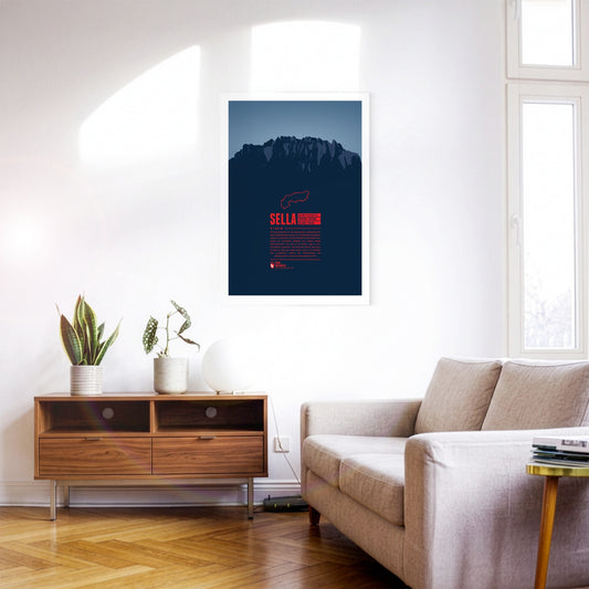
The Sella group is a very distinctive mountain massif in the Dolomites especially known for the Sellaronda. This ski circuit stretches over 42km, split into 26km on the slopes and 16km on lifts. The highest peak of the group is Piz Boè at 3,152m, which due to the compact shape of the whole group doesn't appear very prominently though.
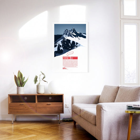
The Seceda lies in the Dolomites in South Tyrol, on the edge of the Puez-Odle Nature Park. From Ortisei in Val Gardena, the Seceda cable car runs up to the top station, about 70 metres below the summit. At the top the mountain offers a panoramic view over almost all of South Tyrol and beyond across Italy and Austria. The ski resort on the Seceda-Alm has one of the longest descents in the Dolomites: from just below the summit it runs more than 10 kilometres and over 1000 metres of vertical drop down to Ortisei.
At 2563 m, the Schlern is one of the landmarks of South Tyrol and the Dolomites thanks to its distinctive shape. The mountain is celebrated, among other places, in the “Bozner Bergsteigerlied”, one of the unofficial anthems of South Tyrol. According to legend, the Schlern witches get up to mischief around the mountain, causing storms and other misfortune above all.
The Peitlerkofel, or ”Sass de Pütia” in Ladin, is situated in the northern Dolomites. The two Summits, “Grosser Peitler” and the 60 meter lower subpeak “Kleiner Peitler”, rise up steeply between Val Badia and Villnöß valley. The Kleiner Peitler can be reached on a hike. In the south climbers find easy routes to the summit of the Grosser Peitler, which offers one of the greatest views in the Dolomites.
South Tyrol's highest summit is one of great historic importance. The first ascent took place in 1805 by command of the Archduke John of Austria, being one of the milestones of Alpinism. During World War I Austria-Hungary installed cannonry on the summit, the remains of which can still be seen by mountaineers today. The origin of the name is a matter of dispute. A legend tells that the mountain once was a giant turned into stone in rage over having been defeated by a dwarf.
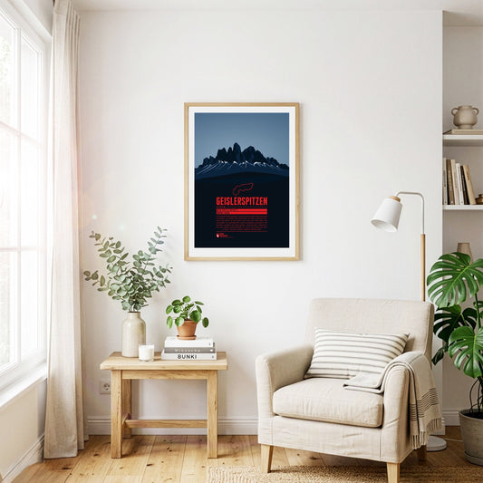
The Geisler group is part of the Dolomites situated between Funes Valley in the north and Val Gardena in the south. The highest peak of the group is Sass Rigais with 3025 m. The Geisler group is a popular destination for climbers. While the German name of the group probably goes back to a person named “Geisler”, the Ladin name “Le Odles” can be translated as “needles”.
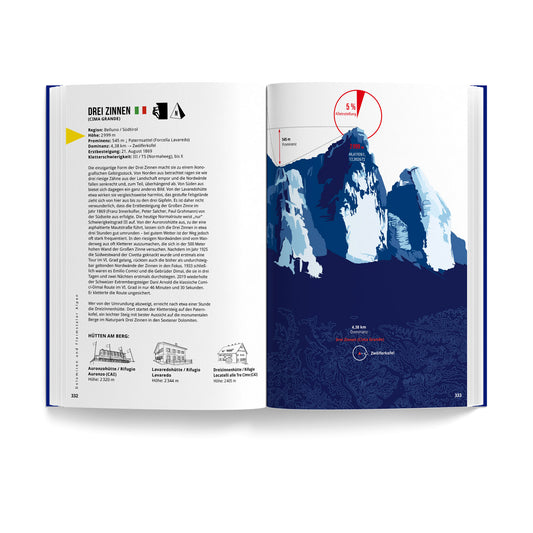
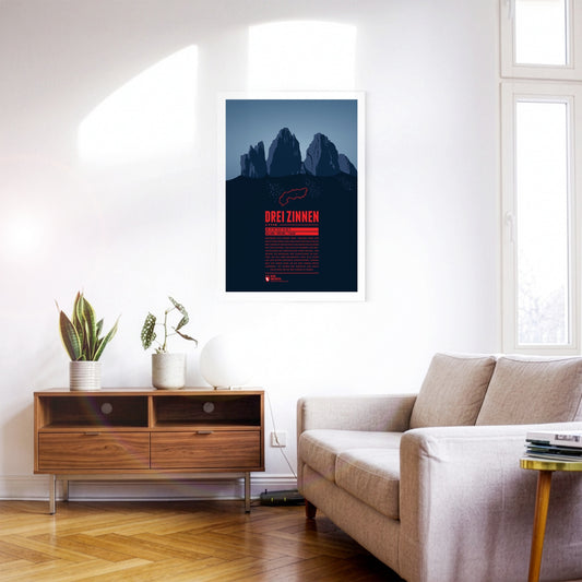
These three peaks of the Sesto Dolomites are a popular destination for mountaineers. It was here that many developments of mountaineering began, for example the discipline of sport climbing. Unfortunately, part of their popularity can be traced back to World War I. At the time, the area around the battlements was fiercely contested, the remains of which can still be found around the three peaks today.