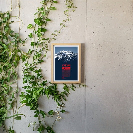
Aconcagua is the highest mountain in South America and also Earth's highest mountain outside of Asia and in the Southern and Western Hemisphere. It is believed to have been a holy mountain for the Inca. The first known ascent of Aconcagua took place in 1897. Being one of the Seven Summits it is a very popular destination for mountaineers from all over the world. Climbing Aconcagua is not particularly difficult and hardly requires any advanced climbing skills. The ascent is not free of risks, though. Low temperatures, strong winds, and altitude sickness can challenge climbers, especially on the upper part of the mountain.
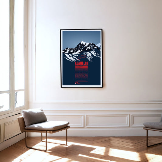
Monte Adamello is, after Presanella, the second-highest summit of the mountain group of the same name on the border between Lombardy and Trentino. The west and north faces of the Adamello rise steeply to the top, while the mountain falls away more gently towards the south-east. The Adamello lies in the Parco regionale dell’Adamello, which borders the slightly larger Parco naturale Adamello-Brenta directly to the east. Alongside ibex and chamois, larger birds of prey such as golden eagles and bearded vultures can occasionally be seen here, and brown bears only rarely.
Áhkká is situated in northern Sweden, in the Stora Sjöfallet national park. It is also known as the “Queen of Lapland”. The mountain massif is dominating its surrounding area and is of high importance in the Sami culture. Its name refers to the mother goddess Maderakka. The summit region of the Áhkká-massif consists of twelve peaks with Stortoppen being the highest. Nordosttoppen (north east peak) also reaches a height of over 2000 meters. The first recorded ascent of Stortoppen was accomplished in 1924.
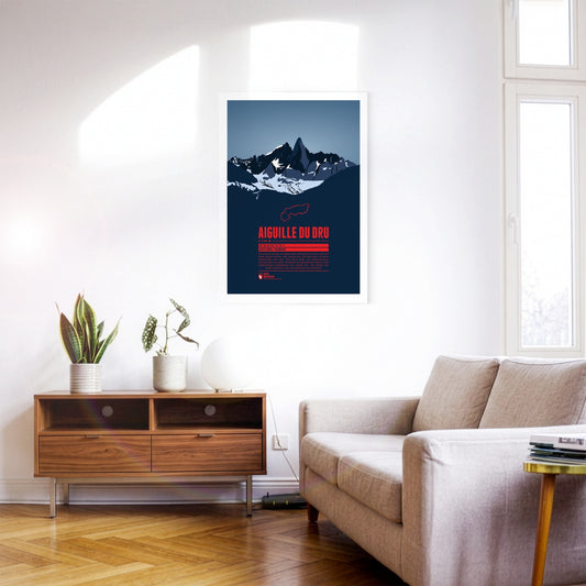
The two peaks of the Aiguille du Dru in the northern part of the Mont Blanc massif rise steeply into the sky of the French Alps. The Grand Dru is the higher summit. The Petit Dru is about 20 meters lower. The impressive shape of the mountain has fascinated generations of climbers in Europe, and notably in France. The first ascent of the Grand Dru was accomplished in 1878 via the south-east face.
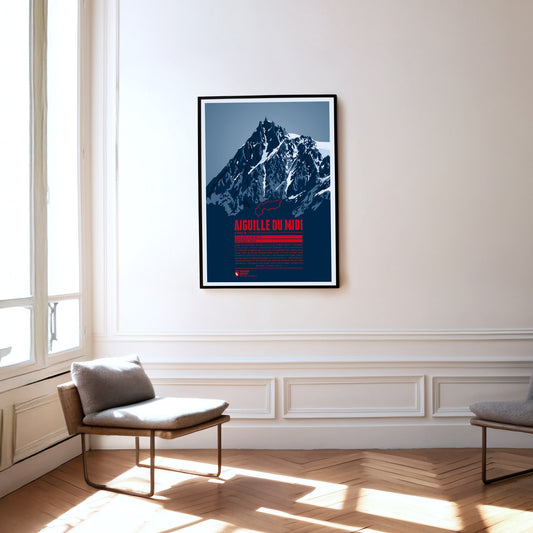
South of Chamonix, the peak of Aiguille du Midi towers in the Mont Blanc massif. It offers a magnificient view and is the starting point for various climbing routes to the surrounding four-thousander peaks, most of all the famous Mont Blanc. A cable car has been running up the Aiguille du Midi since 1955, making the summit, which is now equipped with restaurants and tourist shops, easy to reach. The highest peak of the Aiguille du Midi was climbed for the first time in 1856. Nowadays, the south face is particularly popular for its many climbing routes.
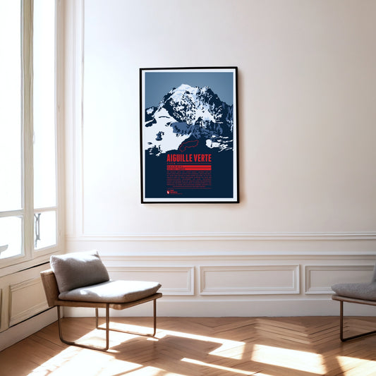
The Aiguille Verte, the “Green Needle”, is located in the Mont Blanc massif, east of Chamonix. With its rocky, pointed shape, it lives up to its name. The Aiguille Verte's massive rock face makes it one of the most challenging mountains to climb in the Alps. In some places the gradient reaches up to 55°, which is why even the normal route through the Whymper Couloir should not be underestimated. Additionally the mountain massif is surrounded by glaciers, which makes the ascent routes even more difficult.
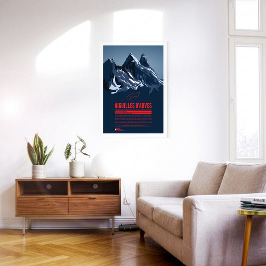
The rock spires of the Aiguilles d’Arves rise in the Maurienne, east of Grenoble. The southern peak, the Aiguille Méridionale, is the highest of them. It is followed by the Aiguille Centrale, just one metre lower, and, set slightly apart further north, the Aiguille Septentrionale, also known as ‘Tête de Chat’ – cat’s head. Since many are drawn to the famous and popular Écrins massif to the south, the Aiguilles d’Arves have become something of an insider tip for anyone looking for quieter mountain and climbing tours.
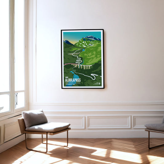
The Albula Pass in the Swiss canton of Graubünden connects the Albula Valley with the Engadin high valley. It is one of the most popular Alpine passes for cycling. The more than 20 km long ascent from the west is scenically particularly beautiful and varied. Not only the mountains impress, but also the route of the Rhaetian Railway, which runs parallel to the pass road. Because of the train alternative and the partly narrow road, there is relatively little car traffic on the pass.
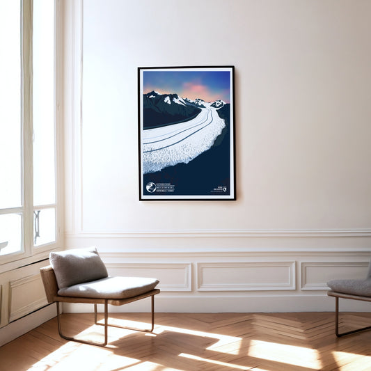
The Aletsch Glacier in the Swiss canton of Wallis is the best-known as well as the longest and biggest glacier in the entire Alps. Starting at a height of about 3800 meters in the Jungfrau-region of the Bernese Alps the glacier reaches over 22 kilometers towards the Massa river, which itself flows into the Rhône. The Aletsch Glacier as well as the adjacent Aletsch Forest make up the biggest part of the UNESCO World Natural Heritage site Swiss Alps Jungfrau-Aletsch.
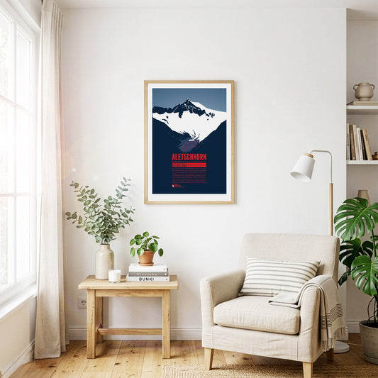
The Aletschhorn is the second-highest summit of the Bernese Alps and is often described as the coldest mountain in the Alps, as it is particularly exposed to cold winds. From the top there is a breathtaking view of the surrounding three- and four-thousand-metre peaks of the Bernese and Valais Alps. Around the Aletschhorn lie the Aletsch Glaciers, which were once connected. The Great Aletsch Glacier is the largest glacier in the entire Alpine region.
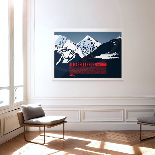
Lying close to many four-thousand-metre peaks of the Valais Alps, the Almagellerhorn is not the most conspicuous summit in the region. Yet the shapely mountain, which appears as a perfect rock pyramid from Saas-Fee, deserves all the attention. The ascent, which is not overly difficult, is worth it too: from the summit of the Almagellerhorn you have a splendid view of the surrounding peaks and ranges such as Weissmies to the north, Stellihorn to the south and, of course, the peaks of the Mischabel group and Monte Rosa to the west.
Alpe d'Huez is a winter sports resort in the French Alps, internationally known as a summit finish of the Tour de France.Alpe d'Huez – these are probably the 21 most famous hairpin bends in the world. The winding climb up to the French resort is also called the "Woodstock of cycling". When the Tour de France stops here, hundreds of thousands make the pilgrimage to the roadside and throw one big party.
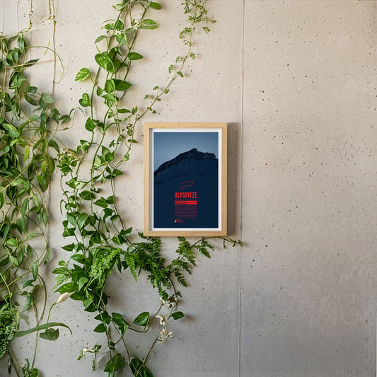
The Alpspitze is located in the Wetterstein mountains close to Germany's highest mountain, the Zugspitze. In spite of its low prominence the mountain's unique pyramid shaped peak makes it one of the most iconic mountains of the Northern Limestone Alps and one of the best-known landmarks of nearby Garmisch-Partenkirchen.
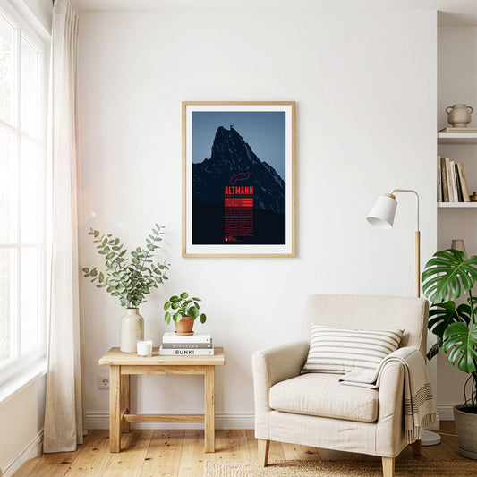
The Altmann rises steeply almost 1000 metres over the valleys of the Alpstein. The second highest summit of the Appenzell Alps is a classic climbing mountain. The view from the top is impressive and goes from Lake Constance, over the Rhine valley, the Allgäu Alps, the Rätikon, the Silvretta Alps, up to the Bernese Alps, and Lake Zurich. Around the Altmann you have a fairly good chance to meet Alpine ibexes, which are widespread in the area.
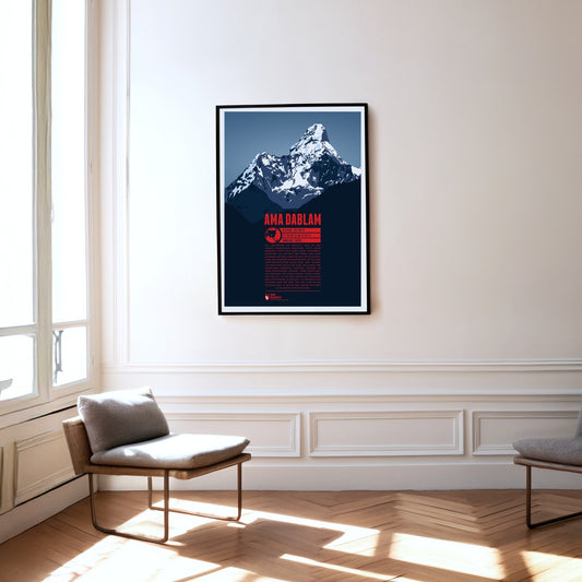
Ama Dablam is occasionally called the ‘Matterhorn of the Himalayas’, yet this striking summit sets standards of beauty entirely its own. On the way to Everest Base Camp the mountain dominates the eastern panorama of walkers and mountaineers for a long stretch. Like the arms of a caring mother, or ‘ama’, its prominent ridges reach down from the summit. The glacier hanging between them recalls a ‘dablam’, a traditional pendant worn by Sherpa women. After Everest and Cho Oyu, Ama Dablam is the most popular mountain for climbers in the Himalayas. Unlike the highest mountain on earth, which is climbed mainly in May, autumn is the favourite season for ascents of Ama Dablam.
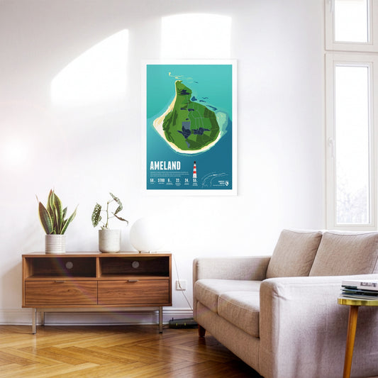
With its many group accommodations, Ameland is a popular destination for school trips. The idyllic village of Hollum lies at the western end, home to the well-known red-and-white lighthouse.
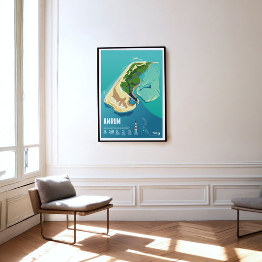
Amrum is known for the Kniepsand, its wide beach, which is actually a sandbank that wanders around the island. Amrum's landmark is the red and white striped lighthouse.
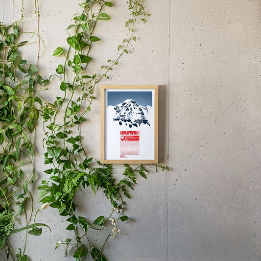
Annapurna I is the tenth-highest mountain on Earth and the highest point of Nepal's Annapurna massif, which stretches over a good 55 kilometres and contains numerous six- and seven-thousand-metre peaks. The name Annapurna goes back to the Hindu goddess of the harvest, whose name is made up of the words ‘anna’ (food) and ‘purna’ (filled). Annapurna I was climbed as early as 1950, the first eight-thousand-metre peak ever to be summited. Yet the second successful ascent only followed in 1970, via the roughly 3000-metre south face, which is considered one of the most difficult climbing routes of all.
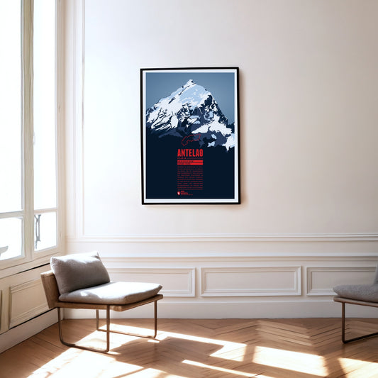
While the Marmolada is regarded as the queen of the Dolomites, Antelao is their king. Unusually for this mountain group, the peak rises majestically as a free-standing rock pyramid to the south-east of Cortina d'Ampezzo. Together with Monte Pelmo to the west, the second-highest summit of the Dolomites forms a gigantic gateway into the Val di Cadore.
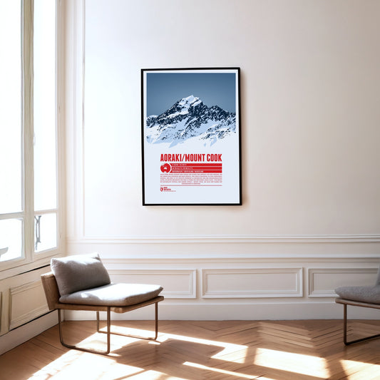
According to a Maori legend Aoraki was the tallest of three brothers who stranded with their canoe and were turned into stone. The mountain is the high point of New Zealand, in the Southern Alps. The British named the mountain after explorer Captain James Cook. In 1998 it was officially named Aoraki / Mount Cook to also honor the native name of the mountain.
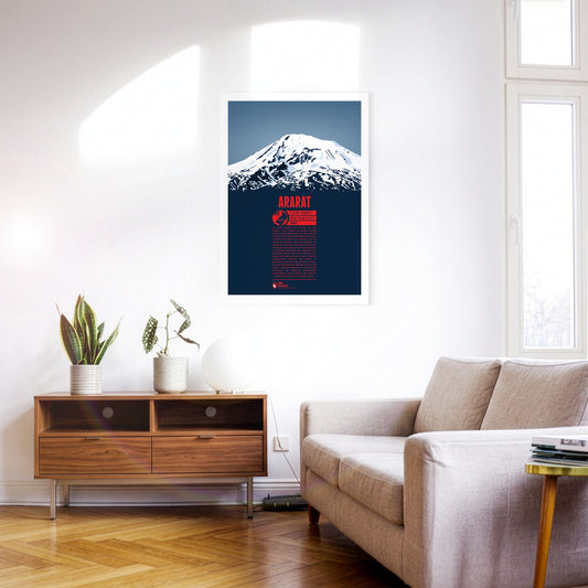
Up to this day there is still a strong belief by some that Mount Ararat is the resting place of Noah’s Arc. With over 5000 meters in elevation the dormant volcano is the highest mountain in Turkey, situated in the east of the country, close to the borders to Armenia, Iran and Azerbaijan. In Turkish the mountain is known as Ağrı Dağı. Right next to it the Little Ararat rises to 3896 meters. The ascent of Ararat was tried many times since the middle ages. Yet, only in 1829 the first expedition finally reached the summit. Climbing Ararat in the winter is still rarely undertaken, since it is much more difficult. due to low temperatures and severe storms on the mountain.
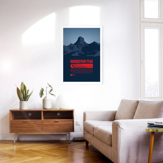
Baboquivari Peak, in southern Arizona, is the highest point in the Baboquivari Mountains and the Baboquivari Peak Wilderness. The mountain top rises up sharply and is a popular destination for tourists and climbers. The Kitt Peak National Observatory lies close-by. Baboquivari Peak is of particular importance for the native Tohono O’odham people. According to their believe the creator I'itoi resides in a cave below the mountain base.
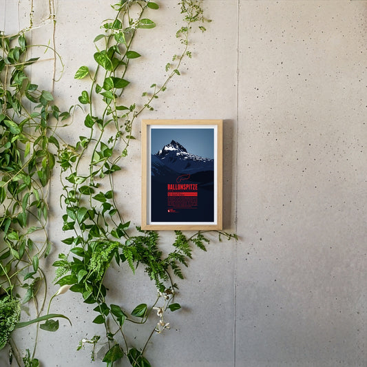
The Ballunspitze is well-known among the visitors of the ski resort Galtür, which is situated in Tyrol on the northern slopes of the mountain, near the town of Wirl. The chairlift Ballunspitzbahn gets you up to 2200 meters. West of the ski area, in Vorarlberg, the Kops water reservoir can be found, which was constructed in the 1960s. South of the Ballunspitze the Threethousanders of the Silvretta Alps dominate the view.
Baltrum is considered especially restful thanks to its tranquillity. Instead of street names, the small car-free island has only house numbers – the oldest houses carry the lowest ones.
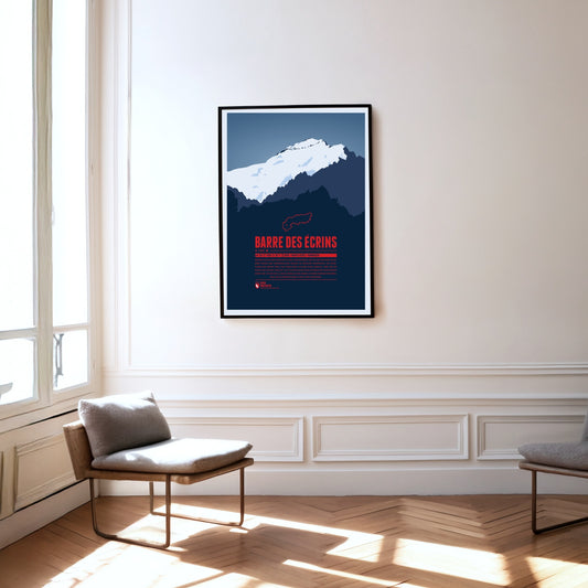
The Barre des Écrins is the Alps' western- and southernmost four-thousander, situated in the Dauphiné-Alps, a wild and rough region in southeastern France. The mountain's north face is covered by the mighty Glacier Blanc, which climbers usually pass on their way to the summit. There are no classic Alpine ski resorts around the mountain but La Grave in the north of the Barre des Écrins has become one of the centers for freeriding and extreme skiing in the Alps.
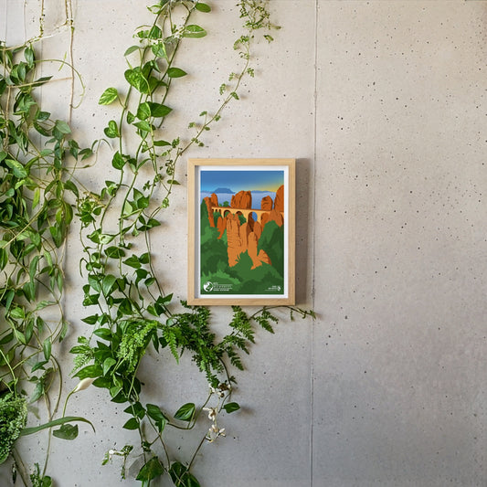
The Bastei is one of the most famous tourist attractions of Saxon Switzerland. At a height of 305 metres above sea level the sandstone plateau offers a breath-taking view of the Elbe valley as well as the distant table hills. Each year about 1.5 million tourists enjoy the unique prospect of the Elbe and the Elbe Sandstone Mountains over the Bastei Bridge, which was build in 1851. Bizarre rock plateaus which stem all over in the adjacent forest lend the Bastei its unique appearance.
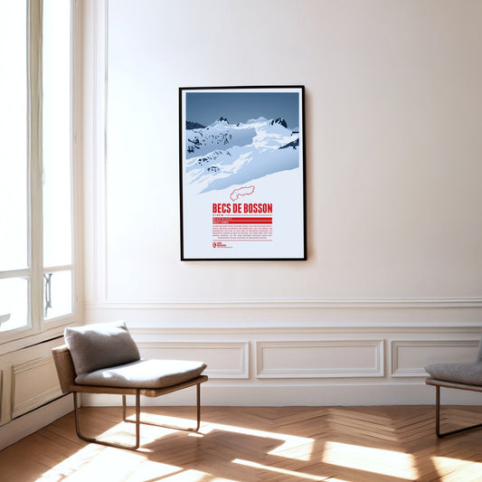
Situated in the Pennine Alps in the Swiss canton of Valais the main summit of the Becs de Bosson, the Grand Bec, rises up to 3149 metres. The subpeak, Petit bec, is only 20 centimetres lower. The mountain chalet Cabane de Becs de Bosson at an altitude of 2983 metres is the starting point or rest stop for many climbers attempting to reach the summit.
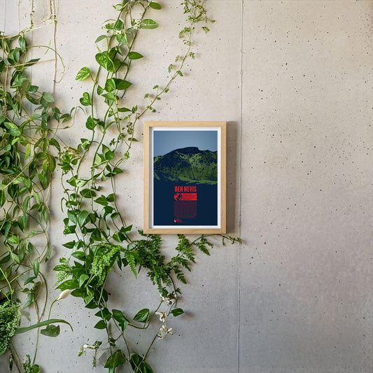
Ben Nevis, east of Fort William, is the highest mountain in Scotland and Great Britain. The Gaelic name “Beinn Nibheis” can be translated as “mountain with its head in the clouds”. The summit of the former volcano is covered in fog or rain 300 days a year due to its maritime location. The weather conditions pose a severe risk for mountaineers. The first documented ascent of Ben Nevis took place in 1771. Today it is one of the world's most frequented peaks. The 700 meter high northeast face is particularly popular for ice climbing.
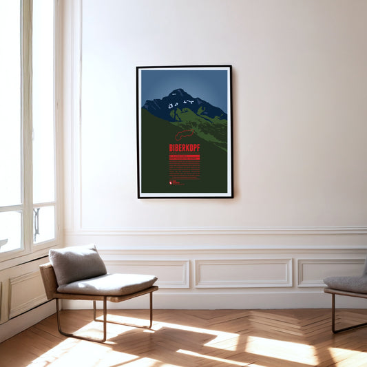
The Biberkopf (beaver's head) rises at the end of the main ridge of the Allgäu Alps and is considered to be Germany's most southern mountain. The border to Austria runs along the distinctive summit. The name of the mountain goes back to larger beaver colonies that populated the nearby Lechtal and the surrounding high moors. Beavers are also part of the traditonal womens' costumes of the area which include beaver hats.
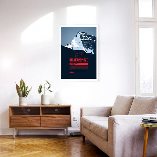
The Birkkarspitze is the highest mountain in the Karwendel. Together with the three Ödkarspitzen peaks west of the summit, it forms an impressive massif. The Karwendeltal runs to the north of the Birkkarspitze. Its length and gentle gradient make it ideal for mountain biking, and long ski tours with an impressive panorama are popular there too.
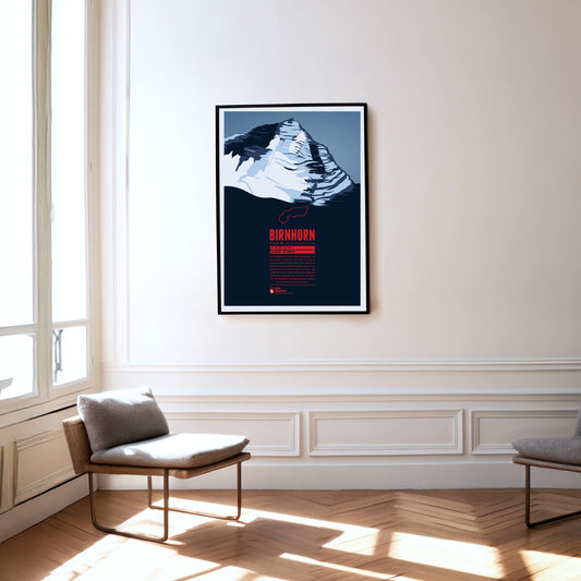
The Birnhorn is the highest point of the Leoganger Steinberge and one of the 30 most prominent summits in the Alps. It rises almost 2000 metres above the valley of the Leoganger Ache to its south. The mountain’s south-east face, around 1400 metres high, is one of the highest rock faces in the Eastern Alps and is even compared to the famous east face of the nearby Watzmann.
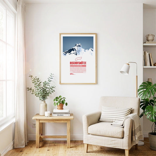
The Bischofsmütze, German for “bishop's hat”, owes its name to the distinctive shape of the double summit. The border between the Archduchy of Austria and the Archdiocese of Salzburg ran along the mountain, until the beginning of the 19th century. The mountain was said to keep watch over the Eastern Pongau region, which was administered by the Archbishop of Salzburg. Even though in 1993 the Bischofsmütze lost a 200 meter cliff wall in a massive rock slide, which changed the mountain's appearance significantly, it remains a popular destination for mountain climbers since the first ascent, made in 1879.
With its mild climate, vineyards and orchards, Lake Constance is one of Germany's most beautiful holiday regions. Central Europe's third-largest lake connects Germany, Austria and Switzerland – on clear days the view stretches all the way to the Alpine peaks. In the Überlinger See off Konstanz lies Mainau, the lake's third-largest island: 45 hectares of parkland where the mild lake climate lets palms, citrus trees and rhododendrons thrive. Above the gardens stands the Baroque palace of the Teutonic Order, built by Johann Caspar Bagnato between 1739 and 1746. Grand Duke Friedrich I of Baden made the island his summer residence from 1853 and laid out the arboretum, whose giant sequoias planted in 1864 are among the oldest in Europe – to this day the flower island is run by the Bernadotte family.
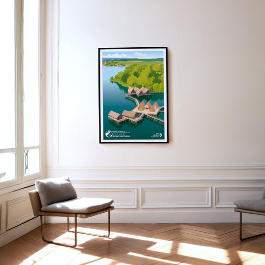
With its mild climate, vineyards and orchards, Lake Constance is one of Germany’s most beautiful holiday regions. Central Europe’s third-largest lake connects Germany, Austria and Switzerland – on clear days the view stretches all the way to the Alpine peaks. On the northern shore at Unteruhldingen, the pile dwellings stand on stilts in the water: reconstructed Stone and Bronze Age villages, now a UNESCO World Heritage Site. Above the fields behind them rises the baroque Birnau Abbey with its famous pilgrimage church.
Regular price
from 19 €
Regular priceSale price
from 19 €
Books, maps and more.
About the Alps and the world.