Seaside tourism flourished on Borkum in the 19th century. Historic buildings along the beach promenade still bear witness to it today. The Borkum narrow-gauge railway picks up visitors at the harbour.
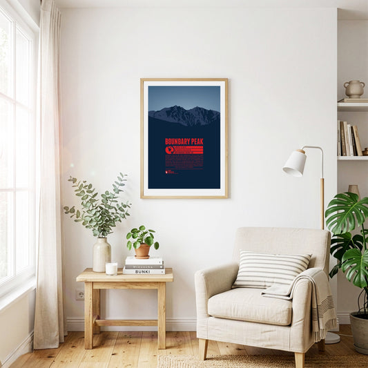
Boundary Peak in the White Mountains, east of the Sierra Nevada, is the highest natural point in Nevada. The summit got its name because it is siutated only one kilometre from the state border to California. Boundary Peak is generally considered not to be an independent mountain, but a sub-peak of the significantly higher Montgomery Peak (13441 ft) on the Californian side of the White Mountains. Thus Boundary peak has a relavively low prominence of only 253 feet.
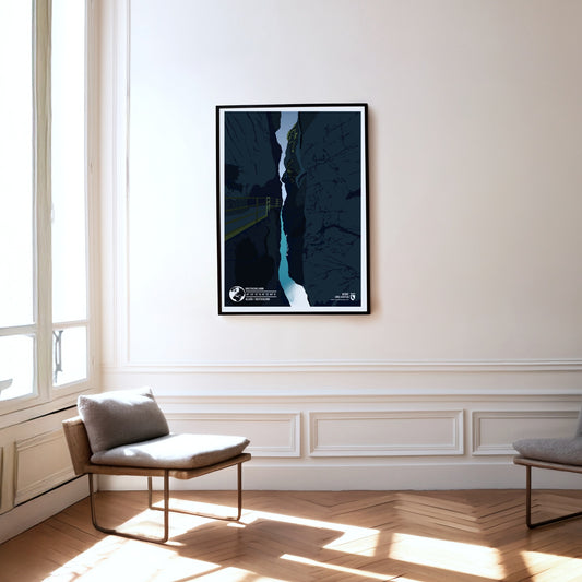
The Breitachklamm is the deepest gorge in Central Europe with a depth of 150 metres. Over 8000 years ago, during the glacial melt of the last ice age, the Breitach dug through the massive alpine rock. The 2.5-kilometer-long canyon was first made accessible at the beginning of the 20th century. Since then, it has become one of the most popular tourist attractions in the Allgäu.
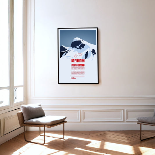
The Breithorn is a mountain range in the Pennine Alps whose highest summit carries the same name and lies on the border between Switzerland and Italy. It sits on the main chain of the Alps, roughly halfway between the Matterhorn and Monte Rosa and east of the Theodul Pass. Most of the massif is glaciated and includes several subsidiary peaks, all of them east of the main summit: the Central Breithorn, the western Breithorn Twin, the Gendarme and the Roccia Nera.
Three Swiss cantons border on the top of the Brienzer Rothorn. A cable car from Sörenberg in Lucerne almost reaches the summit from the northern side. In the winter the are is part of the ski resort Sörenberg / Rothorn. The mountain station of the other cable car, going up from Brienz in Bern from the south, is located about 100 meters below the summit. The Brienzer Rothorn is known for the Alpine ibexes which populate its slopes. One might spot the animals when following the route of the “Ibex Trek” starting at Sörenberg.
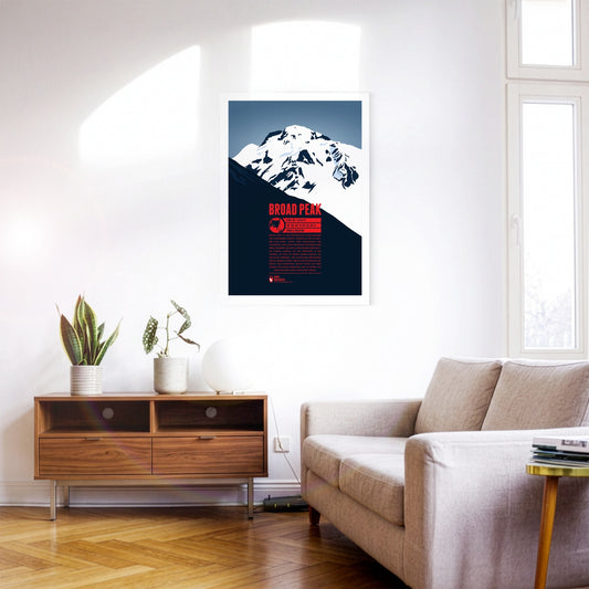
Broad Peak is the second-highest eight-thousand-metre peak of the Gasherbrum group. South-east of K2 rise the north summit, the central summit and finally the main summit. The long summit ridge of this enormous mountain reminded William Martin Conway, the Briton who named it, of the Breithorn in Switzerland, so he simply carried its name over into English. In 1988 the Polish mountaineer Maciej Berbeka became the first person to climb above 8000 metres in winter when he reached Broad Peak's fore-summit (Rocky Peak) at 8028 metres.
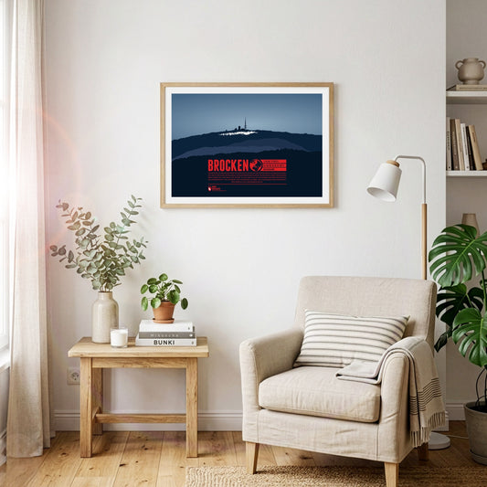
The Brocken is the highest peak of the Harz and is also considered to be the high point of Northern Germany. Since 1899 the summit can be accessed via the Brocken Railway. The mountain, which is often covered in fog, is also known under the name Blocksberg and lots of myths and legends are known about the Brocken. Some said it was a gathering point for witches. The optical illusion Brocken spectre, usually occuring during foggy periods, also played its part for the creation of many of the stories.
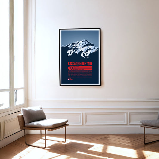
Cascade Mountain is a familiar sight for visitors to Banff in Alberta. The foot of the mountain reaches almost to the town boundary in the north, and pictures of Banff Avenue in the centre often show the peak rising impressively above the town in the background. Like its present-day name, the Indigenous name "Minihapa" ("mountain where the water falls") refers to the waterfall on the mountain's southern flank. Among locals the name "Stoney Chief" is also common, echoing the neighbouring mountain "Stoney Squaw". The nearby Norquay Ski Area is a popular starting point for the ascent to the summit.
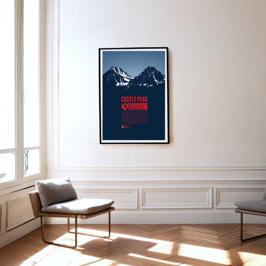
Castle Peak, in the centre of Idaho, is the highest mountain in the White Cloud Mountains, a range within the Rocky Mountains. It rises above nearby Merriam Peak to the north. On clear days you can see more than 25 lakes from the summit. The Bald Mountain, Dollar Mountain and Soldier Mountain ski areas are close by. With a climbing grade of III, the ascent to the summit is best left to experienced mountaineers.
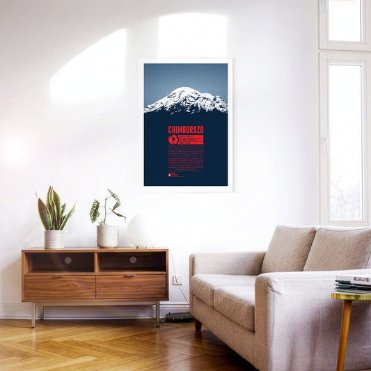
When standing on top of Chimborazo you have reached the farthest point on our planet's surface from the inner core of Earth, thanks to the location of the mountain close to the equator. Ecuador's highest peak is one of the most prominent summits on the planet with over 4000 meters in topographical prominence. There is no higher mountain on the American continent north of Chimborazo. Until the beginning of the 19th century it was even assumed to be Earth's highest mountain above sea level. This lead to numerous summit attempts by Europeans. Yet, the first successful climb to the mountain top was only accomplished in 1880.
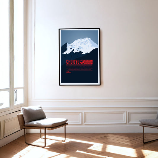
Cho Oyu, the sixth-highest mountain on earth, rises in the west of the Mahalangur Himal, the part of the Himalayas that also contains Mount Everest, only about 20 kilometres away. West of Cho Oyu lies the Nangpa La pass at 5716 metres, which has been one of the most important trade routes between Tibet and Nepal for centuries. In 1954 the Austrians Herbert Tichy and Joseph Jöchler, together with the Sherpa Pasang Dawa Lama, made the first ascent of Cho Oyu – without supplementary bottled oxygen, an extraordinary mountaineering achievement.
The Churfirsten form a striking mountain range in the Appenzell Alps in the Swiss canton of St. Gallen. Of its seven summits, the Hinterrugg is the highest at 2306 m. While the range tapers off relatively gently to the north, to the south it drops steeply down to the Walensee at an altitude of around 420 m.
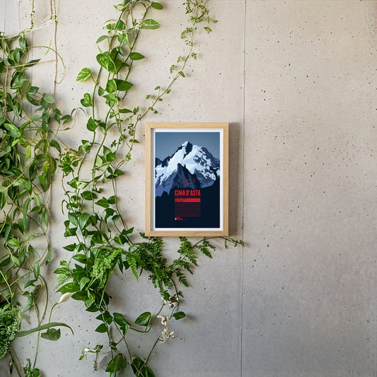
Cima d'Asta is the highest peak of the mountain massif of the same name and thus also the highest point in the Fiemme Mountains The mountain is located in a rather remote part of the Dolomites, away from the main tourist routes. The rock of the Cima d'Asta consists of granite, which sets it apart from the surrounding mountains, which are mainly characterized by reddish volcanic stone.
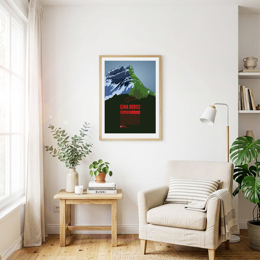
Cima Dodici (or Cima XII) is the highest point of the province of Vicenza and the Vicentine Alps, which rise northeast of Lago di Garda. The border with the province of Trento runs across the summit. In German, the mountain is also known as Zwölferkofel. Since Cima Dodici is easily accessible from all directions it is a popular destination for mountain hikes in the summer and ski tours in winter.
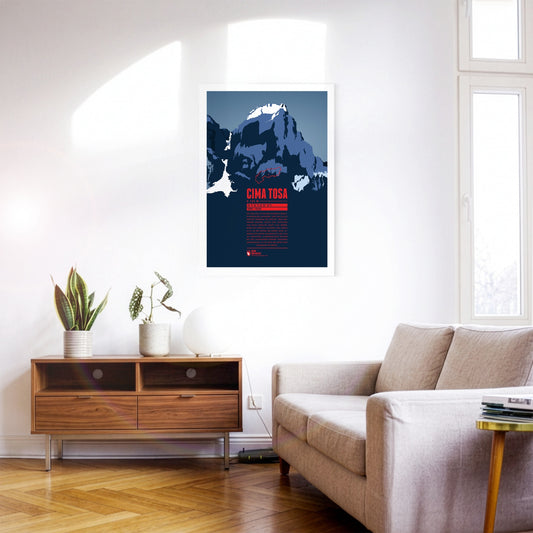
Cima Tosa is a mountain in the Brenta Group, north of Lago di Garda. It was once considered the highest point in the massif. However, new measurements revealed a summit height of just under 3 136 meters, making Cima Brenta (3 151 m) in the north the higher of the two peaks. Nevertheless, Cima Tosa is a fascinating huge, snow-covered rock tower with steep walls. The north face of the mountain, which is around 800 meters high, is particularly impressive.
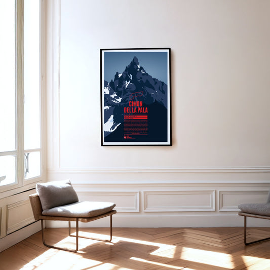
The summit of the Cimon della Pala is a striking rock pyramid, which is why the mountain is also known as the ‘Matterhorn of the Dolomites’. There is a particularly fine view of the summit and the surrounding peaks of the Pala group from the Passo Rolle at almost 2000 metres. The normal route to the top follows the east ridge, but was not climbed for the first time until 1989. The first ascent of the mountain in 1870, by contrast, took the line up the north face.
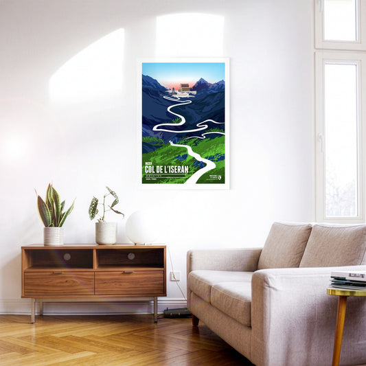
At 2764 metres, the Col de l’Iseran is the highest paved Alpine pass in Europe and one of the most legendary challenges in the French high mountains. It is of great importance for cycling and has been part of the Tour de France several times. Its difficulty comes not only from the amount of climbing and the length of the ascent but also from the thin air and the often extreme weather conditions. Even in high summer, cold and storms can dominate the pass – in 2019 the Tour de France even had to be abandoned here because of snow and landslides.
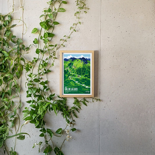
At 2304 metres, the Col de la Loze is one of the highest rideable passes in the French Alps and a legend of modern cycling. The summit between Méribel and Courchevel has only been accessible since 2019, via a paved cycle path closed to cars. Its difficulty lies less in its length than in its erratic profile: constantly changing gradients with ramps of over 20 per cent make any kind of pacing impossible. Part of the Tour de France since 2020, the climb is considered one of the toughest of the race – in 2023 it was here that Tadej Pogačar finally lost the Tour to Jonas Vingegaard.
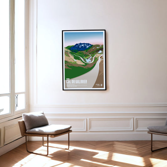
At 2642 m, the Col du Galibier is the fifth-highest paved road pass in the Alps. This pass in the Western Alps is one of the absolute classics on the Tour de France programme, and it has a great deal to offer scenically as well. Much of the route runs through high Alpine terrain resembling a lunar landscape. The Galibier also forms a climatic boundary between the wetter northern Alpine climate and the dry Mediterranean climate on its southern side.
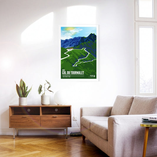
The Col du Tourmalet is a French Pyrenean pass in the south-west of the Hautes-Pyrénées department. It owes its fame above all to cycling: no other mountain pass has been ridden more often in the history of the Tour de France. The Tourmalet was already on the programme in 1910, when the Tour first went into the Pyrenees. Octave Lapize, who reached the top first and went on to win the 1910 general classification, is said to have hurled the indignant cry "Vous êtes des assassins!" ("You are murderers!") at the race organisers. The Vuelta a España has also climbed the Tourmalet several times.
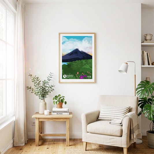
The Cordillera de Guanacaste is a mountain range in northern Costa Rica close to the Nicaraguan border. The range includes a considerable number of active and dormant stratovolcanoes. The most famous one is also one of the highest volcanoes of the range: the Arenal volcano. It last erupted in 1968, destroying two villages and covered the entire region with volcanic ash. Arenal is still active today, even though the danger of another fatal eruption is not considered very high in the foreseeable future.
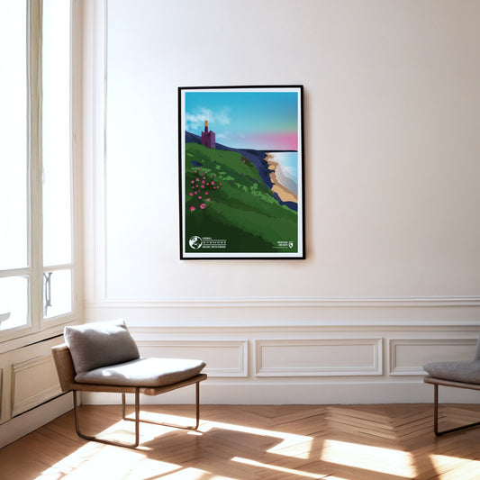
Due to its location on the Celtic Sea, the Cornwall region in the southwest of England offers an unusually mild climate that also influences the local flora and fauna. The landscape features breath-taking cliffs that overlook picturesque bays and colourful gardens in which even subtropical flowers bloom in full splendour.
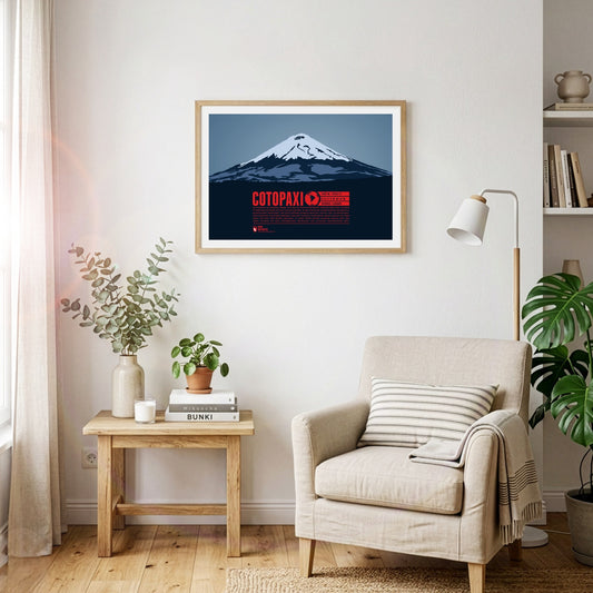
The perfect volcanic cone of Cotopaxi rises in the Andes close to the equator. The mountain is one of the highest active volcanoes on Earth. Over 80 eruptions have been documented over the past 500 years, with the last major eruption from 1903 to 1904. The first European who tried to climb to the summit was Alexander Humboldt in 1802. He had to turn around though after reaching a height of about 4500 meters. Thus 70 years later Wilhelm Reiss and Angel Escobar achieved the first documented ascent of Cotopaxi.
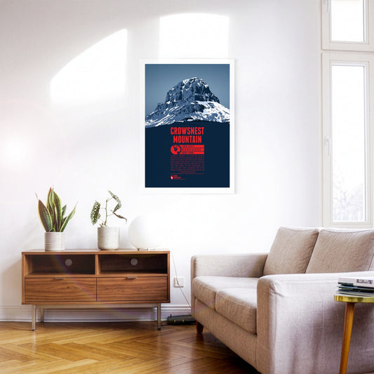
Crowsnest Mountain is a massive rock tower on the eastern side of the Rocky Mountains. The monolith raises south of the Seven Sisters. Further south is highway 3 which offers some spectacular views of the mountain. The name goes back to the native Cree who named the rock after the black ravens - not crows - which were nesting in the area.
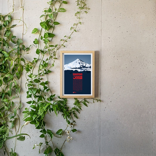
South of the Caspian Sea lies Damavand, the highest mountain of Iran and the highest volcano of Asia, making it one of the Volcanic Seven Summits. This is reflected in the name, which can be translated as “the smoking mountain”. Being the second most prominent summit in all of Asia, after Mount Everest, Damavand is visible from a great distance. In the Persian culture countless myths and legends around Damavand can be found. The mountain is often seen as a symbol against different forms of tyrannic rule and it is still an important symbol for Iranians today. There are more than a dozen known routes to the summit. The first recorded ascent took place as early as 905.
Das Plakat des deutschen Alphabets. Jeder Buchstabe hat eine illustrierte Alliteration, das Handzeichen aus dem deutschen Fingeralphabet, die Brailleschrift und die Buchstabiertafeln.
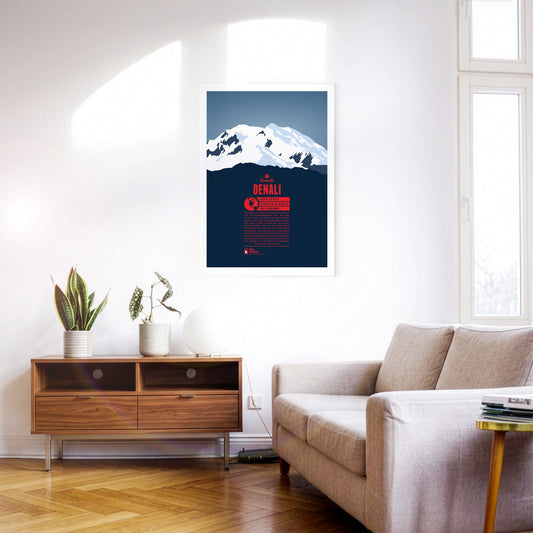
Denali is North America's highest mountain, and the third most prominent peak on the planet. It was long known as Mount McKinley before formally being named Denali in 2015, the native name of the mountain, meaning “the tall one”. The first successful summit ascent was recorded in 1913. Today the mountain is climbed frequently. Not only is it one of the Seven Summits. Its cold temperatures and harsh winds also make it a great destination for climbers who want to prepare for Himalaya expeditions.
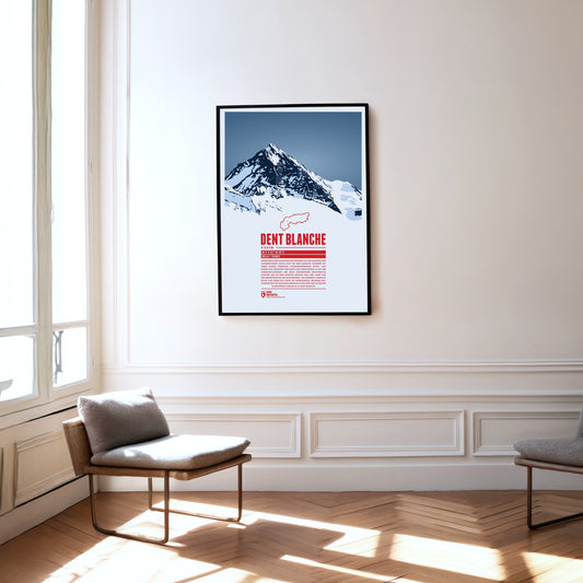
The southern neighbour Matterhorn steals a lot of the attention but the pyramid-shaped summit of Dent Blanche is most fascinating nonetheless. From here four ridges run almost perfectly towards the four cardinal points. The first documented ascent of Dent Blanche was accomplished in 1862, three years before the first ascent of the Matterhorn. The chosen route at the time from the south is still the normal route today. The hut of the Swiss Alpine Club Cabane de la Dent-Blanche is a popular starting point for summit attempts.
The Dent du Géant (the Giant's Tooth) is part of the Mont Blanc massif on the border between France and Italy. The northeast summit which rises up steeply gave the mountain its name. The lower southwest summit is also just above the 4000 meter mark.
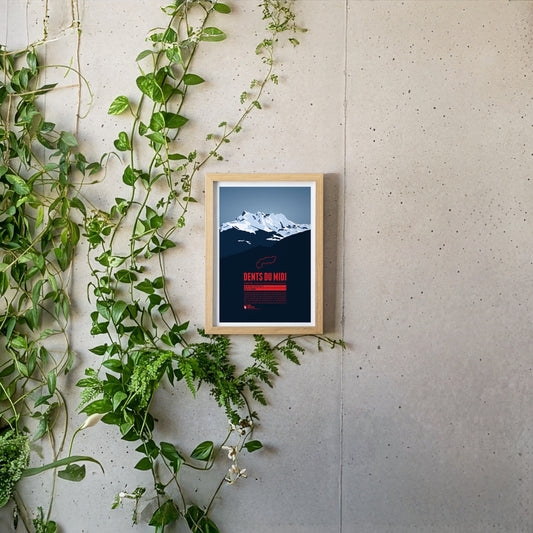
The Dents du Midi are a mountain range which spans over three kilometers in the Swiss Canton of Valais. The seven peaks, all of which reach a height of about 3,200m, offer magnificient views both of Lake Geneva and the Rhône plains and are habitat for diverse plant and animal life, making them a popular destination for hikers and mountaineers.
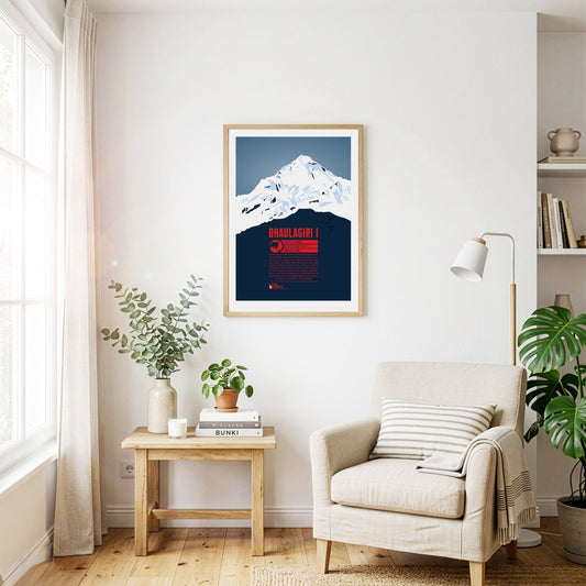
Dhaulagiri is the seventh-highest mountain on earth and the highest summit that does not lie on a national border. The Kali Gandaki river flows between Dhaulagiri and the Annapurna massif to the east, forming what is probably the deepest river valley in the world. Visible from far away, Dhaulagiri was surveyed as early as 1808 and was at that point the highest recorded mountain in the world. Only 30 years later did Kangchenjunga in India take that place. The first ascent of Dhaulagiri in 1960 was the second to last of an eight-thousand-metre peak.
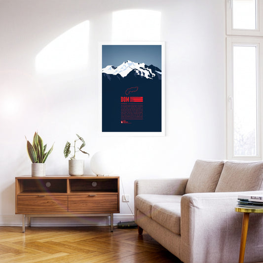
With 4545 metres the Dom is the highest mountain with its entire base completely located in Switzerland. The view from the top offers a spectacular panorama far into the country and over the Monte Rosa massif due to the mountain's high prominence. The Dom is named after the Canon of the Sitten cathedral (in German: "Dom") who took part in the first official surveys of the area. The ski resort “Saas-Fee” is only six kilometres away, and even in the summer allows for some of the highest and most beautiful ski-runs in the entire Alps.
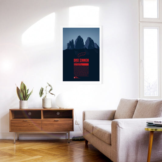
These three peaks of the Sesto Dolomites are a popular destination for mountaineers. It was here that many developments of mountaineering began, for example the discipline of sport climbing. Unfortunately, part of their popularity can be traced back to World War I. At the time, the area around the battlements was fiercely contested, the remains of which can still be found around the three peaks today.
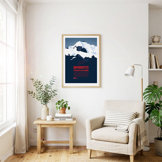
The Dufourspitze is the highest mountain of Switzerland and the highest peak of Monte Rosa, one of the Alps' most impressive mountain massifs. The Swiss-Italian border runs along about 100 m east of the summit. The mountain is named after Guillaume-Henri Dufour, a Swiss general and topographer who published the first official map of Switzerland in 1845.
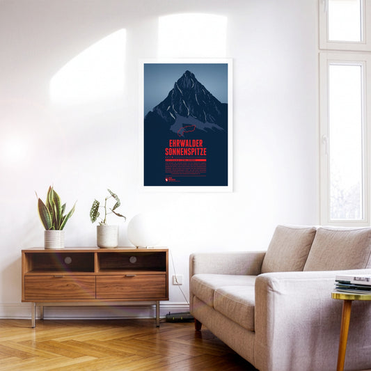
Seen from the north the Ehrwalder Sonnenspitze rises as a distinctive stone pyramid in front of the other summits of the Mieming Range. East of the summit is the beautiful lake Seebensee, which offers a great view onto the Zugspitze in the Wetterstein mountains. The Alpine hut Coburger Hütte at the Drachensee in the south is a popular starting point for summit attempts of the Sonnenspitze.
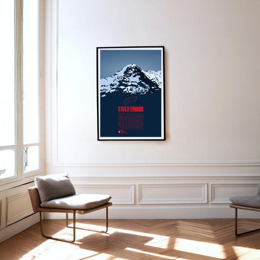
The Eiger in the Bernese Alps is forming one of the most famous Alpine mountain ridges, together with Mönch and Jungfrau. The Eiger is especially known for its 1800 metre high north face which has been described impressively in A.W. Moore's standard work ‘The Alps’ in 1864: “Of the thousands who annually pass under the shadow of this magnificent wall, which in height and steepness alike excels the corresponding face of the Wetterhorn, few have failed to be impressed with its rugged and precipitous character.”
Regular price
from 19 €
Regular priceSale price
from 19 €
Books, maps and more.
About the Alps and the world.