Like a boulder tossed aside, the Grimming stands isolated to the east of the Dachstein, and its imposing appearance makes it one of the attractions of Styria. It consists mainly of Dachstein limestone and is a popular destination for climbers. Because of its exposed position, the Grimming played an important role in the surveying of Austria: a wooden survey marker was placed on the summit as early as 1822.
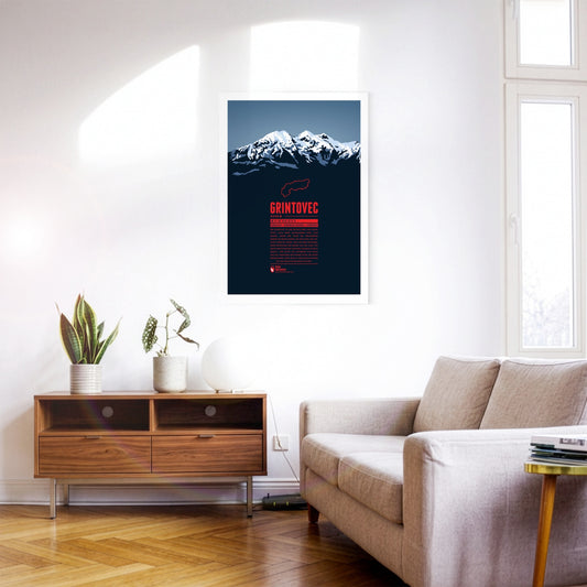
Grintovec is the highest peak of the Kamnik–Savinja Alps. While it is assumed that farmers, herdsmen or hunters from the area were the first to reach the summit of Grintovec the first documented ascent was achieved by the botanist Giovanni Antonio Scopoli om 1759. The mountain top offers a panorama view of the Kamnik–Savinja Alps and when weather conditions are good to the south one can even spot the Adriatic Sea.
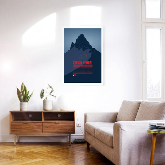
Große Kinigat or Monte Cavallino, lying on the border between East Tyrol and the Italian Province of Belluno, was supposed to be sold in 2011. After heavy protests the Austrian government abandoned these plans. The mountain is easy to climb and offers a great panoramic view up to Großvenediger and Großglockner, one of the highlights on the Carnic High Elevation Trail which follows the border between Italy and Austria over 155 kilometres.
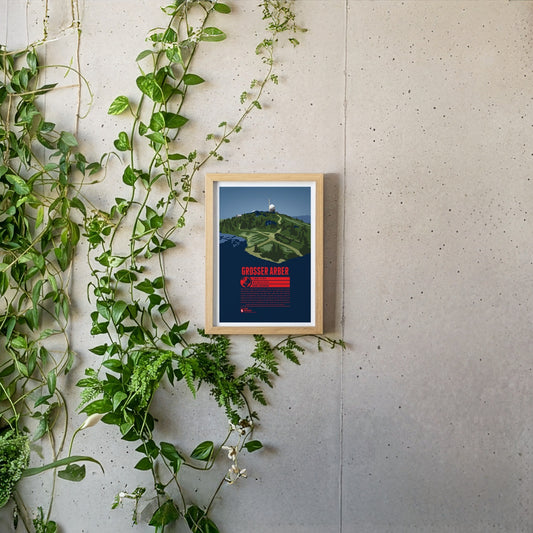
The Großer Arber or Great Arber is also known as the "King of the Bavarian Forest", since it is the high point of the mountain range. The mountain is surrounded by nature reserves and two lakes, close to the Czech border. Hiking trails and ski slopes make the Großer Arber an attractive tourist destination. On a clear day the view from the summit reaches as far as to the Alps. Next to the Aber chapel, which is just below the summit, two air force radar stations can be found, as relics of the Cold War.
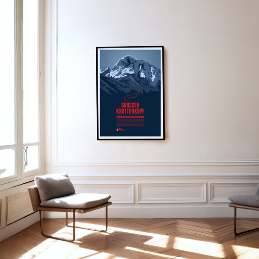
The Großer Krottenkopf is situated in Tyrol, south of the Bavarian town Oberstdorf. It is the highest point of the Hornbach Chain and the highest summit of the entire Allgäu Alps. The normal route to the Krottenkopf leads from the Alpine club hut Kemptner Hütte via the col Krottenkopfscharte, about 300 meters below the summit on the southern ridge of the mountain.
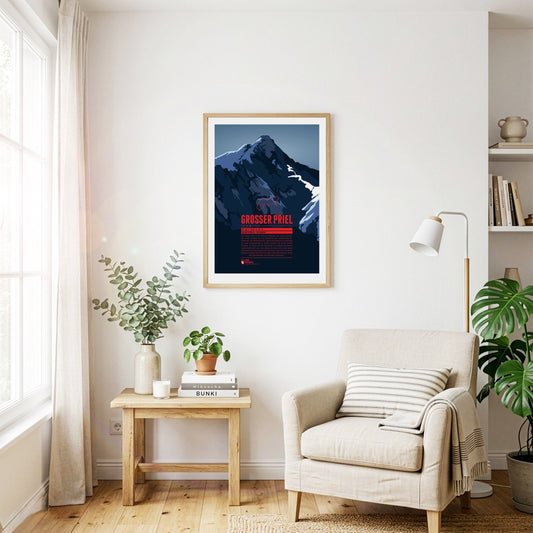
The Großer Priel is the highest point of the Totes Gebirge. The summit lies in the north-eastern, Upper Austrian part of the range. Its position on the edge makes the mountain visible from far across the Alpine foreland to the north and east, for example from the state capital Linz some 60 kilometres away. A summit cross about eight metres high was erected on the Großer Priel in 1870. In 2009, a year after a severe thunderstorm badly damaged the cross, a replica was put up on the mountain.
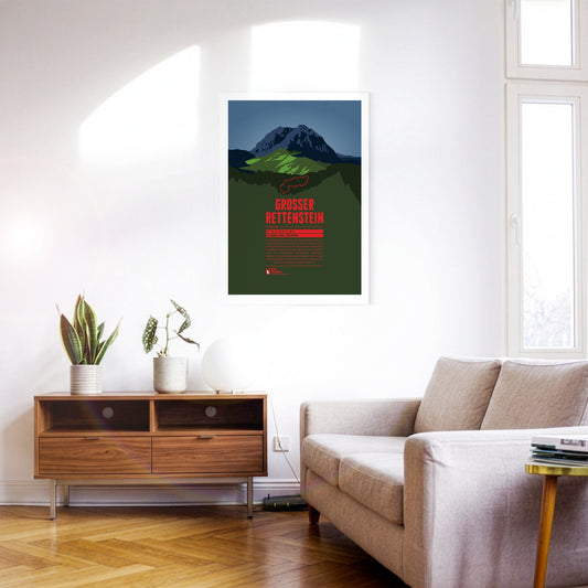
The Großer Rettenstein is the most striking summit of the Kitzbühel Alps. Its rocky summit pyramid is an imposing sight, rising a good 400 metres above the surrounding grassy mountains. It is also called the ‘Kitzbühel Matterhorn’, even though it is barely half as high and bears a certain resemblance to its famous Swiss namesake only when seen from the north.
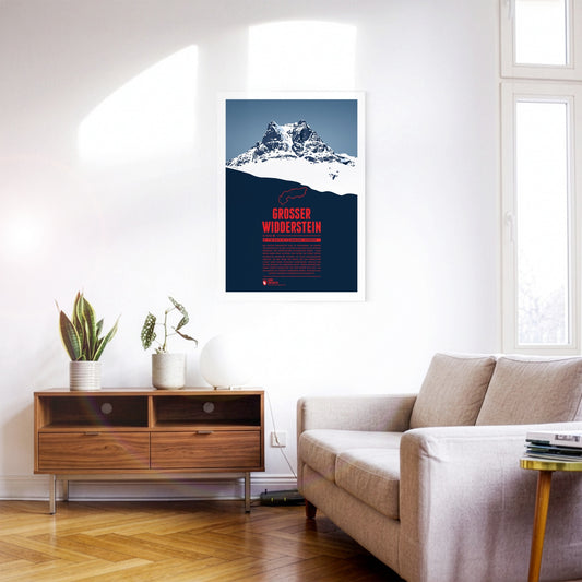
The Großer Widderstein, situated in the Austrian state of Vorarlberg, is part of the Allgäu Alps and the highest peak of the Kleinwalstertal and the Southeastern Walsertal Mountains. When making a summit attempt one might cross the path of ibexes. It is still disputed though whether the name of the mountain refers to a male ship or an ibex, both being called “Widder” in German. South of the mountain lies the municapility of Warth. Its ski area Warth-Schröcken has been connected with the area Ski Arlberg since the winter of 2016 / 2017, thus making it Austria's largest ski resort.
The Großes Wiesbachhorn is often seen as the most beautiful three-thousander and a rival to the Großglockner. Even though the mountain is part of the Glockner Group its upper part is quite isolated and allows for a spectacular view of the Fusch valley 2400 m below. The first ascent of the Northwest Face in 1924 is of major importance for Alpinism since for the first time ice nails were used, which were later further developed into ice screws, still being used today.
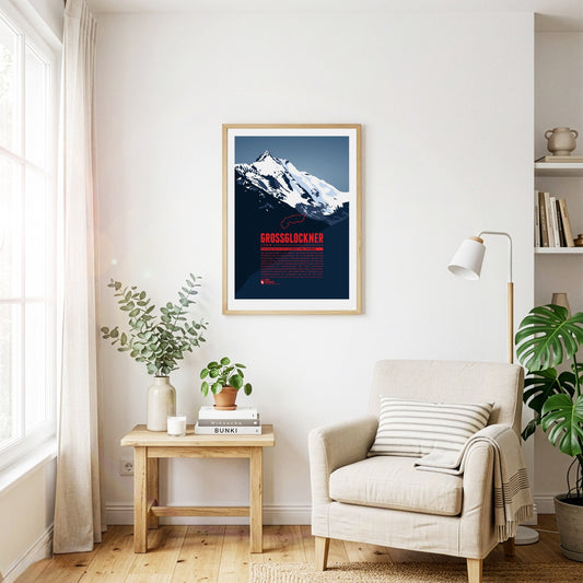
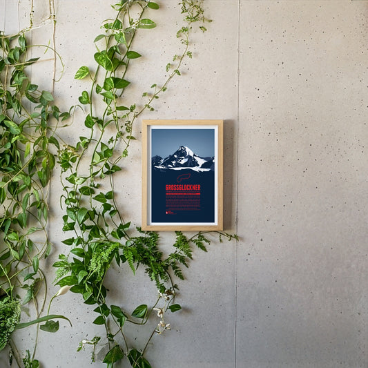
With a height of 3798 metres the Grossglockner is Austria's highest mountain. Its topographic isolation of 175 kilometres makes it one of the most dominant summits in all of Europe. The view of the summit from the Grossglockner High Alpine Road is famous and has been fascinating mountaineers, hikers and travellers for centuries. The first successful ascent to the summit by Prince-bishop Salm-Reifferscheidt-Krautheim was a major achievement in the history of Alpinism. Today more than 20 routes with varying difficulties lead to the summit from Heiligenblut and from Kals. This mountain print shows the view of the Großglockner from Carinthia. We also created a mountain print with the view from Tyrol, see Großglockner (Tirol). Großglockner (Tirol).
The Grossglockner or Glockner is Austria's highest mountain and one of the most prominent mountains on earth. The view of the summit still fascinates people today. The name of the mountain is probably derived from its bell (German: “Glocke”) -like shape. Besides the first successful summit ascent in 1800 fron Heiligenblut the ascent via the southwest ridge (Stüdlgrat) from Kals, made by the merchant Johann Stüdl, was one of the mile stones in the climbing history of the Grossglockner. Today more than 20 routes with varying difficulties lead to the summit from both Tyrol and Carinthia. This mountain print shows the view of the Großglockner from Tyrol. We also created a mountain print with the view from Carinthia, see Großglockner (Kärnten).
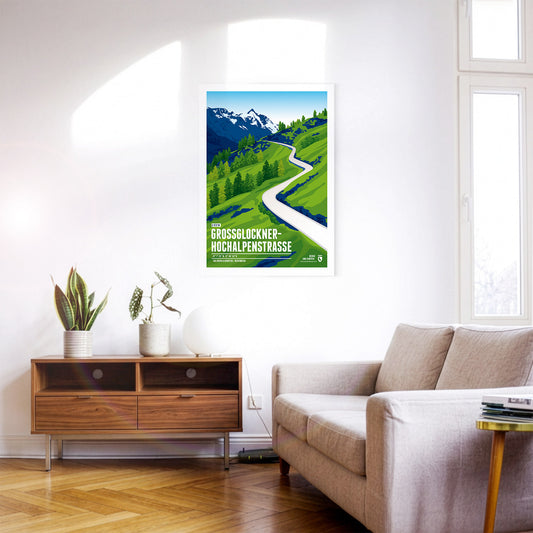
On the Großglockner High Alpine Road, the saying “the journey is the destination” is to be taken literally. The road is far more than an ordinary car link between the Austrian federal states of Salzburg and Carinthia; it is also a tourist attraction and a natural spectacle. Following its course takes you through the Hohe Tauern National Park in the middle of the high Alps, with sections at altitudes of up to 2500 metres. In the spring and summer months there is also a good chance of spotting Alpine marmots, which are numerous in the area.
The highest summit of the Austrian state Salzburg lies on the border to Tyrol and is the high point of the Venediger Group, the westernmost mountain range of the High Tauern. The Großvenediger's characteristic summit is determined by its glaciers and the prominent ridges, running along towards all four cardinal points of the compass.
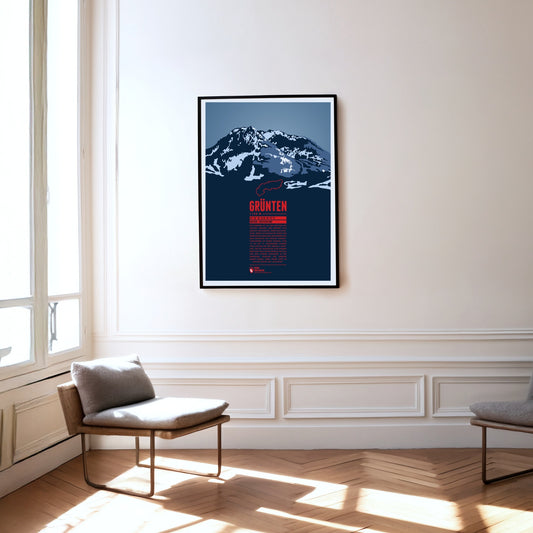
The Grünten is known as the Watcher of the Allgäu and is located south of Kempten, near the fringe of the Alps. During the Middle Ages the Grünten had already been climbed for the first time and a large deposit of iron ore was discovered. From the 15th to the 19th century many mining tunnels were dug. The iron ore production required large amounts of wood and the forest clearings on its slopes gave the Grünten ist name, since in the local dialect it simply means “bald head”.
The Gspaltenhorn is part of the Bernese Alps and rises up to 3436 m. The mountain rock consists mainly of limestone which gives the surface a cliffy and cragged shape. The name comes from the German word “gespalten”, meaning “split” or “cleft”. For climbers the Gspaltenhorn offers multiple routes to the summit with varying degrees of difficulty.
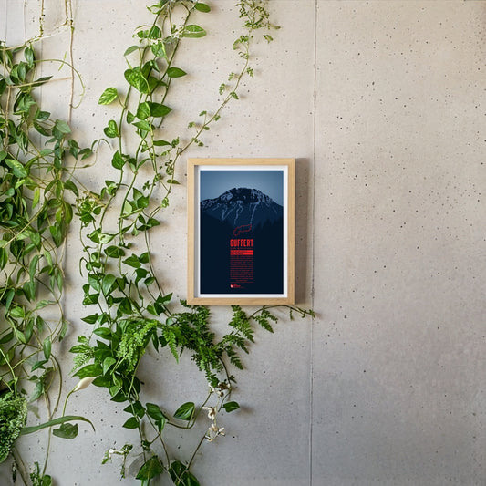
South of the German-Austrian border, the Guffert rises with its rocky twin summit. The free-standing mountain is prominently visible from the Tegernsee. With varied paths and easy climbing sections it is a popular destination for day tours. From the summit plateau a far-reaching view opens up over the Bavarian Prealps, the Wetterstein range, the Karwendel and the Hohe Tauern.
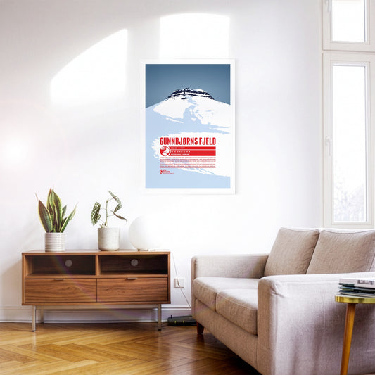
Gunnbjørn Fjeld is the highest mountain in Greenland and the highest point north of the Arctic Circle. It is named after Gunnbjørn Ulvsson, the first European to discover Greenland. Part of the Watkins Range, Gunnbjørn Fjeld rises on the island’s east coast. Because of its remote position, ascents are rarely attempted. The first documented ascent was made by a British expedition in 1935; the summit was not reached a second time until 1987.
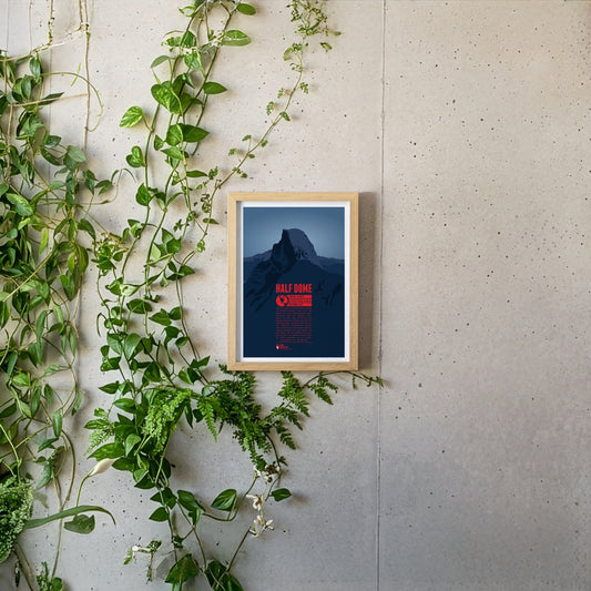
Half Dome is a prominant rock tower in Yosemite National Park. Its impressive northwest face rises almost 1500 meters (5000 feet) above Yosemite Valley. The mountain is a very popular photo motif as well as a paradise for climbers. While Half Dome was declared absolutely inaccessible for humans in 1865 only ten years later George Anderson was the first to reach the summit after successfully climbing the rock wall. In 1957 the first grade VI climb in North America was achieved at Half Dome.
In the east of Val Badia the summits of Sas dla Crusc rise into the sky. For Alpinists the mountain offers a broad range from easy to the most difficult routes. West of the summit the chapel Santuario di Santa Croce and the mountain refuge Hospiz dla Crusc are situated, which were both named after the mountain. The Sas dla Crusc is mentioned much earlier, for instance in the Ladin legend of the Kingdom of Fanes.
Helgoland is almost 50 kilometers away from the mainland. In its history, the small island often changed state affiliation. It is famous for its red rocks where seabirds breed.
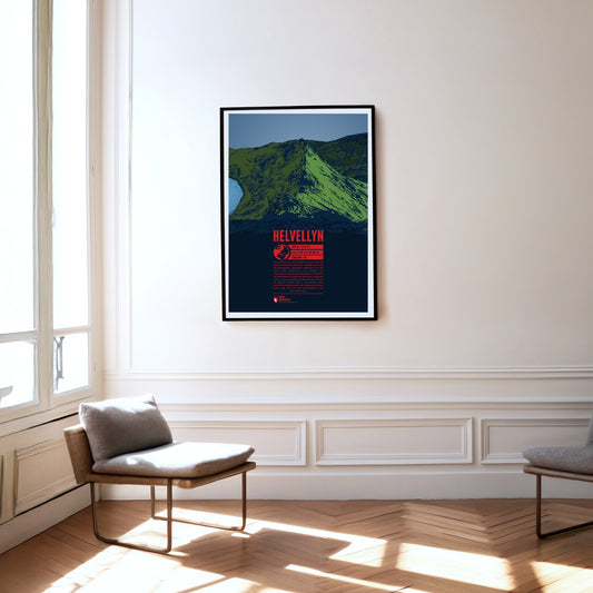
Helvellyn in the Lake District is the third highest and one of the most famous mountains in England. Its 500 meter long summit plateau is particularly striking. In 1926 even a small airplane successfully managed to land on it. On the steep and rocky east face of the Helvellyn, two ridges diverge and enclose the mountain lake Red Tarn. The southern Striding Edge is a popular route for easy climbing and scrambling. Additionally the summit can also be reached by mountain bike.
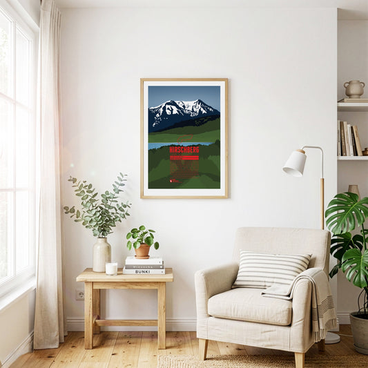
South of the Tegernsee rises the Hirschberg, with its main summit in the west and a fore-summit about 15 metres lower in the east. Despite its comparatively modest height, the mountain is visible from far to the north and greets the inhabitants of the Bavarian Alpine foreland. The summit can be reached on various walking paths and offers an excellent view that in good weather stretches from the Roßstein across the Zugspitze to the Großglockner.
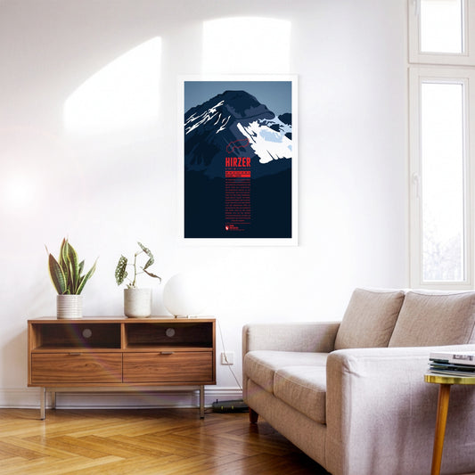
North-east of Merano, the Hirzer rises as the highest summit of the Sarntal Alps, more than 2000 metres above the Passeier valley. This tourist region is well developed, which also makes the ascent of the Hirzer comparatively easy. The Hirzer cable car carries its passengers to an altitude of 1980 metres, and from the top station the normal route leads past the Hirzer hut to the summit. Around the Hirzer run the Waalwege typical of South Tyrol – irrigation channel paths once built to water the apple orchards.
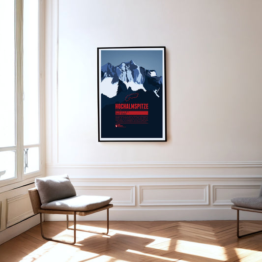
The Hochalmspitze is the highest point of the Ankogel group. While the Großglockner is often called the king of the Tauern, the Hochalmspitze – helped by its feminine article in German – is known as the princess of the Tauern. That suits her white glacier gown, which surrounds her below her long ridges.
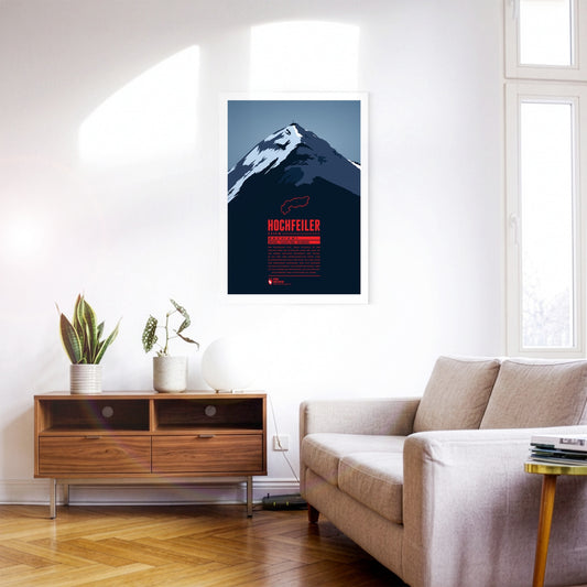
The Hochfeiler (Italian: Gran Pilastro) is the highest mountain in the Zillertal Alps and lies on the border between Austria and Italy. It has two very different sides. From the Schlegeis reservoir the eye falls on an icy, forbidding north face. Anyone approaching from the south-west out of the Pfitsch valley, by contrast, sees the flanks of the Hochfeiler running comparatively gently down towards the valley.
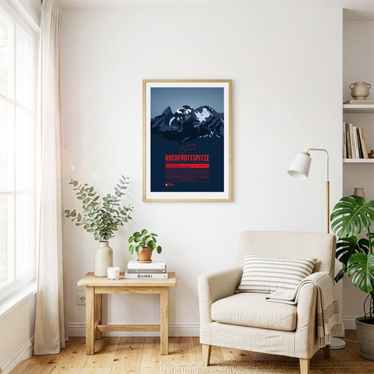
The Hochfrottspitze is the highest mountain on the German side of the Allgäu Alps. Trettachspitze, Mädelegabel and Hochfrottspitze form the famous triumvirate of peaks. The cliffy wilderness on the south side used to be called “Frut”, from which the mountain probably received its name. Inhabitants of nearby Oberstdorf also call the mountain one of the three Trettach peaks.
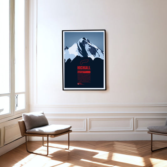
The Hochgall, or Collalto, is a border mountain between Austria and Italy and the highest summit of the Rieserferner group – a stately, trapezoidal block with a striking summit ridge. The mountain closes the gap between the Hohe Tauern, the Zillertal Alps to the west and the Tauferer valley in South Tyrol. It can therefore be climbed from either Austria or Italy.
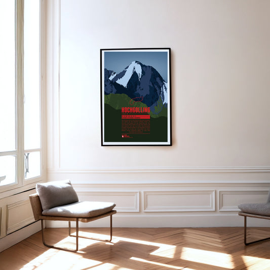
The Hochgolling is the highest mountain in the Schladming Tauern and in the Niedere Tauern as a whole. The massive rock pyramid with its striking, steeply falling ridges rises above the Untertal and the Lesachtal, stretching from the state of Salzburg in the west across into Styria in the east. The eye-catcher of this mountain of dark rock, steep on every side, is its north face of around 1000 metres.
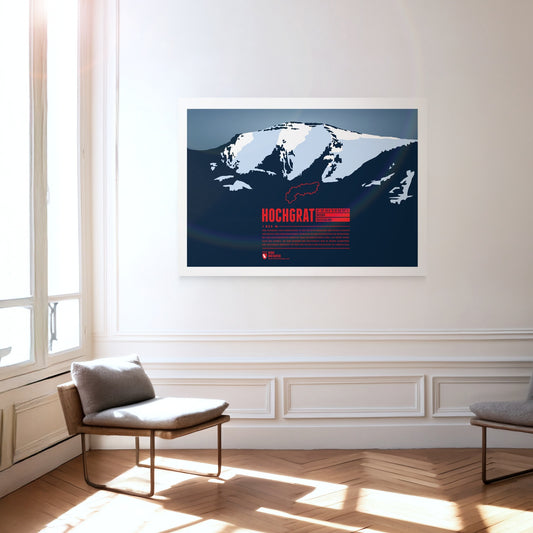
The iconic and local mountain of Oberstaufen is the highest peak of the Nagelfluhkette and of paramount importance for both tourism and geography. The aerial lift Hochgratbahn takes you up to about 125 metres below the summit. On the mountain slopes one can find many Alpine pastures. The Hochgrat mountain run is one of the sportive highlights in the district of Oberallgäu.
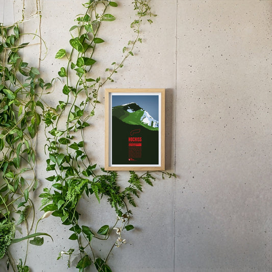
The Hochiss is the highest summit of the Brandenberg Alps and lies on the main crest of the small Rofan group, a subgroup of the Brandenberg Alps in Tyrol east of the Achensee. The name Hochiss derives from the dialect word ‘Iss(e)’, meaning a pasture or a high alpine grazing ground.
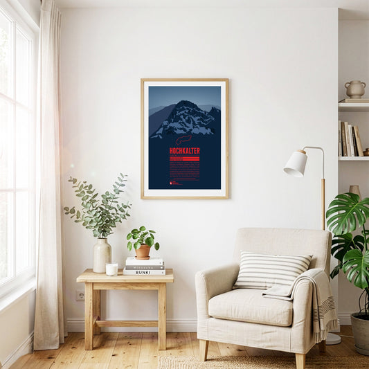
Although it often stands in the shadow of its famous eastern neighbour, the Watzmann, the Hochkalter in the massif of the same name is one of the highest summits in Germany. On its north side lies the Blaueis, the northernmost glacier in the Alps. A little further north lies the Zauberwald, a forest strewn with boulders. It was formed around 4000 years ago by an enormous rockslide on the Hochkalter massif, which also dammed up the Hintersee.
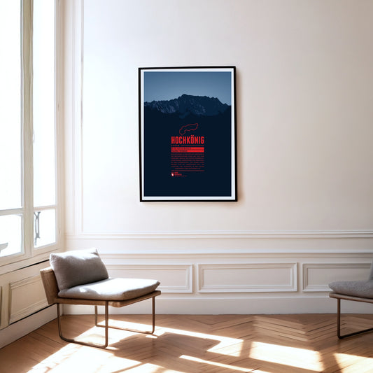
Hochkönig is the highest mountain massif of the Berchtesgarden Alps south of the German-Austrian border and one of the most prominent peaks in the Alps. The massif appears especially impressive seen from the south. The summit is covered by the “Übergossene Alm”, a glacier which has shrinked severely over the last decades.
The Hochschwab is the highest mountain of the Hochschwab group in Styria, east of the Gesäuse national park. The Hochschwab group is a largely bare, karstified plateau range. The plateau drops away to the south in a steep wall about 300 metres high and two kilometres wide. The caves running through the massif are typical of a karst range as well.
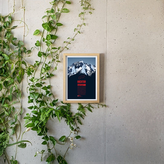
Hochtor is the highest mountain of the Ennstal Alps in Styria. From the banks of the Enns on the edge of the Gesäuse National Park, the Hochtor towers up almost like a Dolomite peak. Anyone wanting to reach the summit via the 900-metre north-west face should be a competent climber. The normal route from the Johnsbach valley to the south is not entirely easy either and requires a head for heights and climbing skills.
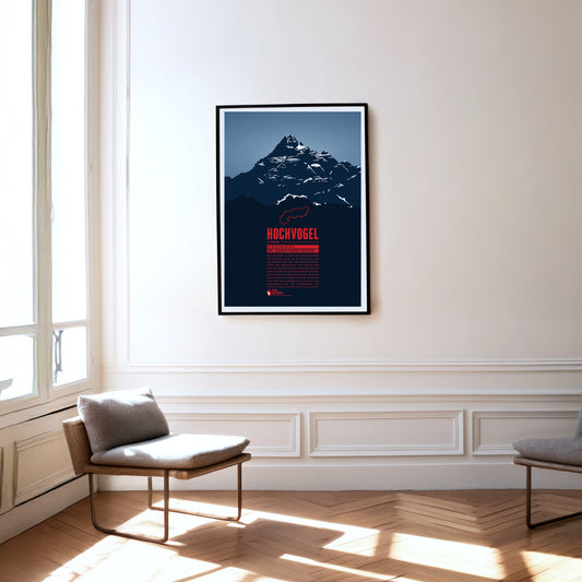
The Hochvogel is not the highest mountain of the Allgäu Alps, but one of its most iconic and best-known summits. It offers a breathtaking panoramic view from the top. To the east you can see Wetterstein and Karwendel, to the south the view takes you up to the High Tauern. In the west the Swiss Alps with Säntis and Tödi show and in the north you can see the Black Forrest and the Swabian Jura.
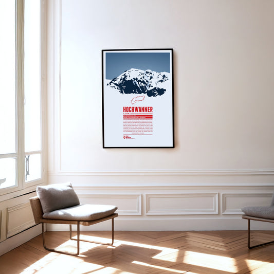
The Hochwanner, on the border between Bavaria and Tyrol, is Germany’s highest point outside the Zugspitze massif. Its impressive north face drops more than 1400 metres towards the Reintal. The first ascent was made in 1870 by what is now the normal route from the south, out of Tyrol. In the summer months there is a good chance of meeting the marmots that live here during the climb. At the top, a fine view opens up over neighbouring mountains such as the Alpspitze to the north and the Mieming Chain to the south.
Regular price
from 19 €
Regular priceSale price
from 19 €
Books, maps and more.
About the Alps and the world.