The Höfats, also known as “the Matterhorn of the Allgäu”, is the Allgäu's most characteristic grass mountain. Ascending the four, almost equally high summits is very challenging, due to very steep grass and schrofen faces. The reward is a unique flora, which has no resemblance anywhere else in the Allgäu. In 1911 a protected area for plants was established around the Höfats. The edelweiss, which had been almost extinct, can nowadays be found again, in clusters of 30 blossoms and more.
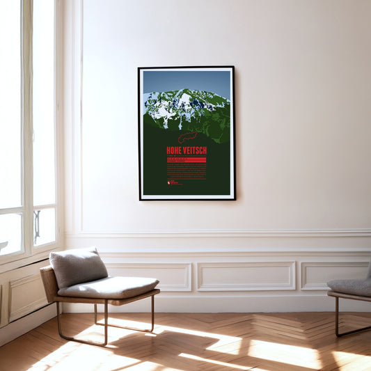
The Hohe Veitsch, the highest summit of the Mürzsteg Alps in Styria, lies east of the Mürz valley and west of the Aflenzer Seeberg and the Rax. It is a whole massif, its elongated plateau running from west to east. There is no mountain railway here, but the way to the summit is – given a little stamina – quite straightforward.
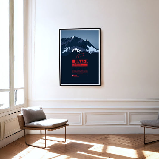
The Hohe Warte (Italian: Monte Coglians) lies on the border between Carinthia and Friuli-Venezia Giulia in Italy. It is the highest point of the Carnic Alps and forms an impressive massif together with its neighbouring peaks Kellerspitzen, Kellerwarte, Seewarte and Kollinkofel. The summit is best reached from the Italian side via the Rifugio Marinelli.
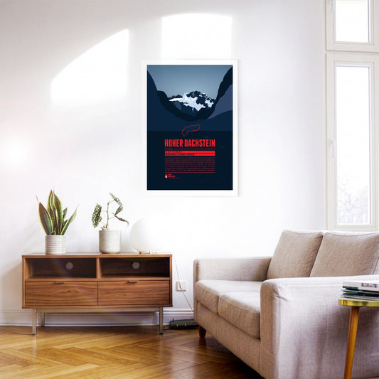
Hoher Dachtsein is the highest mountain of the Dachstein Mountains and also the highest peak of the Austrian states of Upper Austria and Styria. The mountain's south face is famous for its steep cliffs falling down about 1000 metres. The aerial tramway Dachstein-Südwandbahn takes you from Ramsau in Styria to the southern part of the Dachstein massif. For the construction of the lift a part of the subpeak Hunerkogel was blown up in the 1960s.
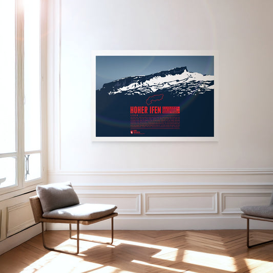
The Hoher Ifen, or Hochifen, is the highest point of the ifen plateau, which goes up tilted to the Ifenmauer, the northern rock face. Even though not being one of the highest summits of the Allgäu Alps, it offers a wide view over the German-Austrian border region. The Gottesacker (“God's Acre”) in the north, an almost moonscape-like karstic plateau, is particularly impressive. Today it is a nature reserve and home to rare animals and flowers. In 1998 a dwelling site from the Stone Age on the eastern flank was discovered, and later excavated.
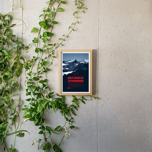
The Hoher Sonnblick is the highest mountain of the Goldberg group in the Hohe Tauern. The group’s name goes back to the gold-mining history of the region. The gold extracted from the 13th to the early 19th century was one of the foundations of the wealth of the Archbishopric of Salzburg. In more recent times the Sonnblick has suffered badly from climate change: the glaciers are melting and the permafrost is thawing. In 2003 the summit was stabilised with shotcrete and rock anchors.
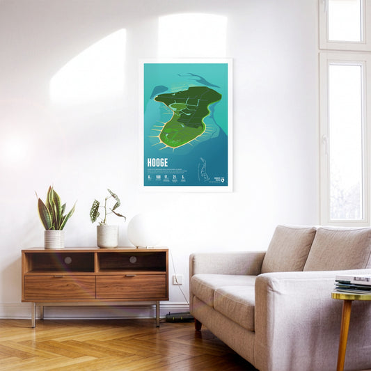
Hooge is the second-largest Hallig in the Wadden Sea. Its houses stand on ten inhabited dwelling mounds that protect them from storm surges. A low dyke guards against even more frequent flooding.
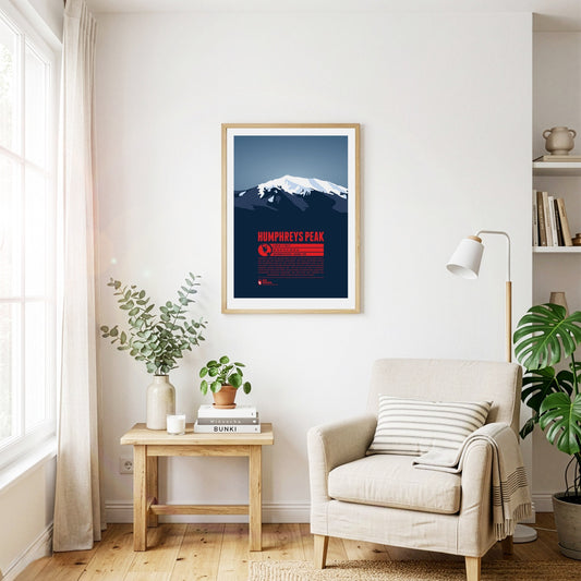
Humphreys Peak, a dormant volcano, is Arizona's highest mountain and the highest peak of the San Francisco Mountains. It is considered to be the easiest of all the US state high points to summit. Many hikers start the ascent from the nearby ski area Arizona Snowbowl, following a 5 mile trail. The San Francisco Mountains are of significant spiritual importance for a number of native tribes, among them the Navajo and the Hopi.
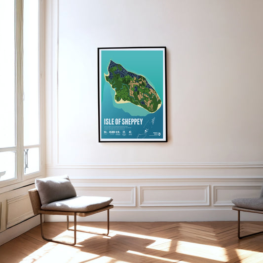
The Isle of Sheppey lies in the Thames estuary. The flat island is separated from the mainland only by a narrow channel. Its beaches are popular day-trip destinations.
Mexico’s third-highest mountain, Iztaccihuatl or Ixta for short, rises north of Popocatépetl between the capital and Puebla. The name can be translated as ‘white lady’, because seen from the east or west the profile of the ridge looks like a reclining woman with head, breast, knees and feet. The best weather for the ascent comes in spring. Given the altitude of more than 5000 metres, enough time should be allowed for acclimatisation.
Situated nearby the four-thousanders of the Pennine Alps, the Jegihorn appears rather small. However the peak is a popular destination for climbers. The rope bridge on the via ferrata Jägihorn is particularly famous and opened from June to October. From the top of the Jegihorn a breath-taking panorama offers views of the neighbour summits of the Mischabel Group, the Bernese Alps, and the Rhône Valley.
Nur wenige Menschen haben bisher den Gipfel des Jirishanca, des „Kollibrischnabels aus Eis“ erreicht. Die steil aufragende Felspyramide in der Cordillera Huayhuash ist auch als das „Matterhorn der Anden“ bekannt. Im Juli 1957 gelang den Österreichern Toni Egger und Siegfried Jungmair die Erstbesteigung über die Nordostwand. Diese Route wurde 1969 zum zweiten und bisher letzten mal erfolgreich begangen. Im selben Jahr gelang auch der erste Aufstieg über die Westwand.
The car-free island is nowhere wider than 900 metres, so the sea is never far away and its surf is always audible. On Juist, horse-drawn carriages carry people and goods.
The Julier Pass is a significant mountain pass located in the Swiss Alps, reaching an elevation of 2284 meters. It connects the Engadin valley in the canton of Graubünden with the rest of Switzerland and offers stunning vistas of the surrounding peaks. With its rich history as an ancient trade route and its modern importance as a major roadway, the Julier Pass attracts both travelers and outdoor enthusiasts alike.
The Jungfrau is the highest summit of the trio it forms together with the Eiger and the Mönch. The opening of the rack railway to the Jungfraujoch at over 3400 metres in 1912 made the mountain one of the most easily accessible four-thousand-metre peaks in the Alps. The name may have passed over time from the Wengernalp on the northern slope – called Jungfrauenberg by the nuns of the former Interlaken convent – to the Jungfrau itself.
On the border between China and Pakistan the K2 rises steeply into the sky. It is the second highest mountain on earth and the highest peak in the Karakoram. The name goes back to the British who labeled the highest summits of the mountain range K1 to K5. Masherbrum or K1, almost 800 meters lower than K2, appeared to be the higher mountain to them at first. Reaching the summit of K2 is regarded as significantly more difficult than the ascent of Mount Everest. It involves a greater level of technical climbing and the mountain is even more exposed to extreme winds and storms, making summit attempts even more challenging, or completely impossible. The first successful ascent was accomplished in 1954. Until 2015 only about 300 other climbers reached the top of the mountain.
Mount Kailash is located in southern Tibet close to the Nepalese and Indian border, in a region that has long been considered one of the most inaccessible in the world. Its name meaning "precious snow crystal" was given due to its unique diamond shape. Especially in Buddhism and Hinduism Mount Kailash is considered to be a sacred mountain. Buddhists believe that circling around the mountain for 108 times leads to enlightenment. Due to the mountains religious significance, a climbing ban was issued. Thus Mount Kailash remains unclimbed to this day.
South of the Chiemsee lake the Kampenwand rises with its distinctive rock mountain top, resembling of a rooster's comb (German: Kamm). This makes the mountain easy to spot, even from greater distances. Not on the main summit, but on the four meters lower east summit is the highest summit cross in the Bavarian Alps with a height of 12 meters. In winter the Kampenwand Cable Car transports skiers into the winter resort Kampenwand–Aschau on the northeastern slopes. Ascending the main summit, about 200 meters above the mountain station, is possible by hiking with only short climbing passages. But Kampenwand has much more to offer for climbers, mountainbikers, and freeriders.
Kangchenjunga is the high point of India, on the border to Nepal. The third highest mountain on Earth is also the easternmost 8000er. Until the 1850 it was even assumed to be the highest mountain on the planet, before Mount Everest and K2 were both confirmed to be higher. The mountain’s name can be translated as “the five treasures of the high snow”. One interpretation is that the name refers to Kangchenjunga’s five highest peaks, four of which reach heights of more than 8000 metres. There are three climbing routes to the summit from Nepal. The fourth route from India, which was only climbed successfully three times, is officially closed since 2000. The first known ascent of Kangchenjunga was accomplished in 1955.
The first Norwegian king established his court on Karmøy. The strait between the island and the mainland is an important shipping route once known as the North Way – and it gave Norway its name.
Kazbek (also Kasbek or Qasbegi) is a five-thousand-metre peak in the centre of the Caucasus, on the border between Georgia and Russia. After Elbrus it is the second-highest volcano in the range, which is why it is counted among the Volcanic Seven Second Summits. The iconic volcanic cone also plays a part in Georgian mythology: legend has it that Amirani, a Georgian version of Prometheus, was once chained to the mountain for stealing fire from the gods and giving it to humankind. At around 2100 metres stands Gergeti Trinity Church, the only domed church in the Georgian high mountains.
Kebnekaise is Sweden's highest mountain. It is situated in the far north of the country, about 150 kilometers north of the Arctic Circle. The mountain consists of two main summits. For a long time the southern peak (Sydtoppen) was the higher of the two. It was highly glaciated and since the ice at the summit strongly decreased in recent years, nowadays the mostly ice-free northern peak (Nordtoppen) is the high point of the massif.
The Kilimanjaro, or more precisely Uhuru Peak on the crater of Kibo, is Africa's highest summit. The Kilimanjaro massif is formed of three volcanoes, including Mawenzi, Africa's third highest summit. The snow-covered top of the massif can be seen from far away. The first recorded ascent of Kibo was made in 1889. When climbing from the base to the top of the mountain a number of different vegetation zones will be passed. Tropical rain forest goes up as high as 3000 metres, followed by moss and desert in the higher regions, and snow and glaciers on the summit. The surrounding Kilimanjaro National Park has been declared a UNESCO World Heritage Site.
Kings Peak is Utah's highest summit. Before 1966, when sattelite measurements were taken, the second highest summit South Kings Peak was believed to be the higher of the two mountains. Both mountains were named after Clarence King, a surveyor and the first director of the United States Geological Survey.
The Kitzsteinhorn is part of the Glockner Group in the High Tauern. The first summit ascent was made by Johann Entacher in 1828. The first Austrian glacier ski are was opened at the Kitzsteinhorn in 1965. An observation deck on 3029 metres offers an excellent view of the neighboring summits.
At 1948 metres, the Klausen Pass links the Schächental in Uri with the Linthal in Glarus. Our print shows it from the eastern side: the hairpins of the pass road high above the Urnerboden, which at eight kilometres long is the largest alpine pasture in Switzerland, grazed by around 1200 cattle each summer. Below runs the Fätschbach, which rises beneath the Clariden, bursts from the rock face as a spring waterfall and further down tumbles over the ledges of the Berglistüber into the Linthal. The pass road was built between 1893 and 1899, and from 1922 to 1934 the legendary Klausen race was held here – in winter the crossing is closed.
Ko Lanta is arguably the most beautiful island of Thailand. Situated in the southwest of the country it actually consists of two islands lined with turquoise-blue bathing bays. While the main island of Lanta Yai has numerous hotels and tourist attractions, the northern island of Lanta Noi has mostly been left untouched. This balance between thriving tourism and pristine nature makes Ko Lanta unique.
The Königspitze (Italian: Gran Zebrù) lies south of the Ortler and forms a striking trio with it and the Zebrù. It is only the second-highest mountain in the Ortler Alps, but is often called the most beautiful of them. In the 19th century the mountaineer Julius Meurer described the Königspitze as the ‘most perfectly formed, most distinguished mountain in the whole of the Eastern Alps’.
Nestled between the steep slopes of the Watzmann and the Hagengebirge, the Königssee lies hidden in the Berchtesgaden National Park. Its breathtaking natural setting is shaped by the almost vertical slopes of the surrounding mountains. Owing to the unique architecture of the terrain, the crystal-blue water can only be explored by boat – there are no footpaths or cycle paths around the lake.
Korvatunturi lies in the Finnish part of Lapland, on the border to Russia. It is not so much its height, but rather the distinctive, sharp main summits which set the mountain apart from the surrounding area. Korvatunturi is especially well-known due to a popular Finnish story from the 1920s. According to the tale the mountain is the home of Joulupukki, the Finnish equivalent of Father Christmas.
The Kräuterin is a striking dome of the Hochstadl and the highest point of the Ybbstal Alps. The summit rises north of the Salza valley, which separates it from the Hochschwab group. The Kräuterin is rugged and rocky and has several subsidiary peaks, with wide alpine meadows stretching between them.
The impressive chalk cliffs are the iconic landmark of Rügen. The fascinating colour contrast between lush green forest, chalk-white limestone walls and turquoise-blue sea water has been attracting large numbers of tourists and inspired several well-known poets and painters over the years. One of the most famous among them was the romantic Caspar David Friedrich, who immortalized the play of colours in his painting “Kreidefelsen auf Rügen”.
The Kreuzjoch is the highest mountain of the Kitzbühel Alps and at the same time their south-western cornerstone. The Zillertal begins west of the mountain, the Gerlostal to the south-east. The summit is easy to climb: cable cars run up the mountain from both Gerlos and Zell am Ziller, though not quite to the top.
Austria's highest waterfall is located in the High Tauern National Park: the Krimml Waterfalls. Over 380 meters the Krimmler Ache plunges over three cascades into the Salzach, which itself flows into the Inn. The natural spectacle can be best admired from the hiking trail Krimml Wasserweg, which each year leads large numbers of visitors into the iridescent drizzle of the roaring water.
Kriváň rises to almost 2500 metres in the High Tatras, the highest part of the Carpathians. The mountain owes its name to its curved summit shape: krivý means crooked in Slovak, and in German the mountain is also known as Krummhorn. Kriváň is sometimes called ‘the Matterhorn of Slovakia’ and has repeatedly been voted the country’s most beautiful summit. Since the 19th century it has become one of Slovakia’s national symbols.
La Meije, in the French Dauphiné Alps, is one of the best-known mountains of France, besides the Mont Blanc. For climbers the highest peak, la Grand Pic, is said to be one of the most challenging obstacles in the Alps. The first successful ascent was made in 1877. The name “Meije” is going back to the Provençal word “Meidjour”, meaning “midday”.
Regular price
from 19 €
Regular priceSale price
from 19 €
Books, maps and more.
About the Alps and the world.