Mount Shasta in northern California is the second highest summit of the Cascade Range and the second highest volcano in the United States. Its last eruption dates back to 1786. The first recorded ascent of the mountain was made in 1854. Today the summit is climbed frequently, although only about a third of the attempts are successful. The Mt. Shasta Ski Park is situated about 6 miles (10 km) south of the summit.
Lying on the US-Canadian border Mount Saint Elias is the second highest mountain of both the USA and Canada, as well as the second highest peak of the Saint Elias Mountains. The first European to see the mountain was the Danish Vitus Bering, who explored the area for Russia. Today it is unclear, whether Bering named the mountain himself, or if this was done by geographers later. Mount Saint Elias was first climbed in 1897. The ascent is extremely difficult, many attempts fail due to bad weather and bad visibility. In 2007 an Austrian expedition managed to ski down all the way from the summit to Icy Bay on the Gulf of Alaska on their second attempt.
Mount Robson is the highest mountain in the Canadian Rocky Mountains and the second highest mountain in British Columbia, being entirely in the province. It steeply rises up almost 10000 feet (3000 m) from Kinney Lake on the south-west side to the summit. Whether the mountain's name goes back to Colin Robertson, a fur trader of the North West and Hudson Bay Company, is assumed, but not confirmed with certainty. The native Secwepemc call the mountain “Yuh-hai-has-kun” (“the mountain of the spiral road”). Mount Robson was first climbed in 1913. Reaching the summit is quite difficult and requires high climbing skills, with only about 10% of the attempts being successful, even though the mountain is not particularly high.
Mount Rainier is a volcano and the highest mountain in the Cascade Range and the highest point in the state of Washington. George Vancouver named the mountain after British admiral Peter Rainier. The native Salish called the mountain “Tacoma” or “Tahoma”. There are different interpretations about the meaning though, “mother of waters” being one of these. After the Denali was renamed in 2015, disputes over also renaming Mount Rainier became stronger again. Mount Rainier is home to the largest glaciers in the US outside of Alaska. When attempting to reach the summit crossing these is one of the many obstacles one has to face.
Mount Logan is Canada's highest mountain and the second highest peak of North America, making it one of the Seven Second Summits. It was only discovered in 1890 and named after Canadian geologist Sir William Edmond Logan, one year later. Summitting Mount Logan is generally considered a bigger challenge then the ascent of Denali. The remote location, extreme cold and storms are the biggest obstacles. The first successful summit attempt took place in 1925.
Mount Hood is Oregon's highest mountain and the fourth highest peak of the Cascade Range. It is situated about 50 mi east of Portland, close to the Oregon-Washington state border. The mountain is a stratovolcano. Its last major eruption dates back to 1781 and 1782 and it is still considered potentially active. The characteristic snow-covered top of the mountain is made up of glaciers and snowfields, which makes it difficult to determine the exact height of the mountain. There are five alpine ski resorts located at Mount Hood.
Mount Grinnell in Glacier National Park, Montana, lies approximately in the middle between Mount Gould in the south and Mount Wilbur in the north. It is named after George Bird Grinnell, one of the first white explorers of the area. Grinnell was also one of the main driving forces in establishing Glacier National Park in 1910. More famous than the main summit is Grinnell Point, a subpeak of the mountain, which is often photographed from the Many Glacier Hotel on Swiftcurrent Lake.
Mount Gould, in the Glacier National Park, Montana, is the highest mountain of the Garden Wall. While not being particularly noticeable, seen from the west, the view from the east is very impressive, where the mountain rises up about 4000 (ca. 1200 m) feet over Grinnell Lake and Lake Josephine. Accordingly the normal route to the summit starts on the west side. It was also used during the first recorded ascent, made in 1920.
Mount Fay is the highest mountain in the Valley of the Ten Peaks, on the border between Alberta and British Columbia. In 1902 it was named after Charles E. Fay, a pioneer mountaineer in the Canadian Rockies. Fay was supposed to have the honour of being the first to summit “his” mountain. But Christian Kaufmann and Gertrude Benham, one of the few women alpinists of the turn of the century, beat him to it and made the first recorded ascent of Mount Fay on 19th July 1904.
Mount Fairweather in the Saint Elais Mountains lies mostly in Alaska. Its peak is on the border to Canada though, which makes it the highest point in the province of British Columbia. Being only about 12 miles (20 km) east of the Pacific coast, Mount Fairweather has a very high prominence of almost 13000 feet (about 4000 m). According to a legend of the Tlingit natives Mount Fairweather or “Tsalxhaan” and Mount Saint Elias were originally next to each other, but separated after having an argument. This is why the Tlingit call the mountains in between the “Children of Tsalxaan”.
Mount Elbert is the highest mountain in the Rocky Mountains and in Colorado. It is also the second highest peak in the contiguous United States after Mount Whitney. In spite of these facts it is one of the less famous mountains in the Rockies and among the US state high points. It is named after Samuel Hitt Elbert, who was governor of the Territory of Colorad from 1873-1874, two years, before Colorado became the 38th US state.
Mount Columbia is the highest mountain of Alberta and the second highest summit of the Canadian Rockies. It lies on the border between Alberta and British Columbia, with the peak being in Alberta, though. The Columbia Icefield, south of the summit, made up of eight major glaciers lies on the continental divide. From there rivers flow into the Arctic Ocean, into the Hudson Bay and into the Pacific Ocean.
Mount Baker in northern Washington is a volcano in the Cascade Range. It his heavily glaciated and one of the snowiest mountains in the world. George Vancouver named the mountain after the Royal Navy officer Joseph Baker. Being relatively close to the coast, Mount Baker is visible from Victoria on Vancouver Island, from Vancouver and from Seattle. On the mountain's eastern flank is the Mount Baker Ski Area.
Mount Assiniboine in the Canadian Rockies lies on the continental divide and the provincial border between Alberta and British Columbia. Thanks to its distinctive pyramid shape it is also known as the “Matterhorn of the Rockies”. The name of the mountain refers to the native tribe of the Assiniboine, but was given by geologist George Mercer Dawson in 1885. Not only is Mount Assiniboine popular with tourists, but also with climbers. The most demanding route to the top goes along the mountain's east face.
The Minarets are a group of sharp peaks in the Ritter Range in the Sierra Nevada. They were named in 1868 due to their resemblance of the minarets of a mosque. 17 of the Minarets' peaks have been given unofficial names. The highest was named Clyde Minaret, in honour of Norman Clyde, a famous mountaineer. A number of routes of varying degree of difficulty lead to the top of Clyde Minaret.
(South) Maroon Peak and North Maroon Peak together form the Maroon Bells. They are part the Elk Mountains and probably the most iconic mountains in Colorado. Some believe that they are likely to be the most photographed mountains in all of North America. Unlike most other mountain ranges of the Rockies the Elk Mountains and the Maroon Bells mainly consist of mudstone, which gives the mountains their characteristic color. But this also leads to rock fall being a serious danger, when climbing the mountains. This is why the White River forest service also named them the “Deadly Bells” on a warning sign.
Kings Peak is Utah's highest summit. Before 1966, when sattelite measurements were taken, the second highest summit South Kings Peak was believed to be the higher of the two mountains. Both mountains were named after Clarence King, a surveyor and the first director of the United States Geological Survey.
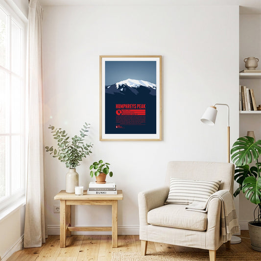
Humphreys Peak, a dormant volcano, is Arizona's highest mountain and the highest peak of the San Francisco Mountains. It is considered to be the easiest of all the US state high points to summit. Many hikers start the ascent from the nearby ski area Arizona Snowbowl, following a 5 mile trail. The San Francisco Mountains are of significant spiritual importance for a number of native tribes, among them the Navajo and the Hopi.
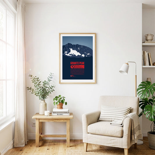
Granite Peak is the highest point in Montana and in the Beartooth Mountains. Of all the ascents of the US state high points Granite Peak is considered to be one of the most difficult. It was also the last of the state high points to be climbed. The first ascent took place only in 1923. While it is possible, to reach the summit in one day, most mountaineers choose to make the ascent in a two day tour.
Being only the second highest peak in Wyoming after Gannett Peak, Grand Teton is surely the more famous mountain in the state, as well as one of its best-known landmarks. It is also one of the prime destinations for climbers in the Rocky Mountains. Grand Teton is the highest point in the Teton Range, the geologically youngest Rocky Mountains subrange, with a number of peaks rising up dramatically about 5000 to 7000 feet (1500 - 2100 m) on the eastern side, making it one of the most iconic mountain ranges of the Rockies. The name goes back to French trappers who named the three Tetons, Grand, Middle, and South in the 19th century. The native American name of the Shoshone tribe can be translated with “Hoary Headed Fathers.”
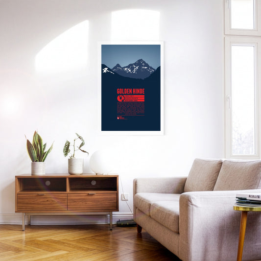
The Golden Hinde is the highest point on Vancouver Island, located very close to the island's geographical center. Clearly visible from the west coast, it was named after the ship used by Sir Francis Drake, who was the first British to sail around the world in the 16th century. Early alpinists called the mountain “The Rooster's Comb”, due to its apperance, before it got its official name in 1938.
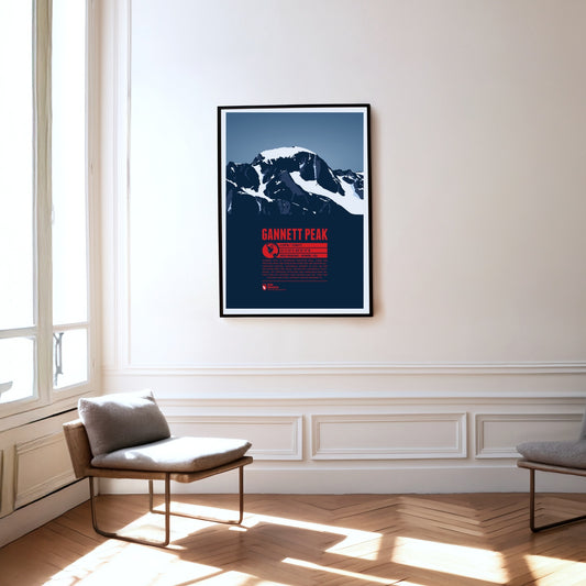
Gannett Peak is the highest mountain in Wyoming and the highest peak of the Wind River Range and the Greater Yellowstone Rockies. It is also the highest summit of the Rocky Mountains outside of Colorado. The largest glaciers in the American Rocky Mountains and the remote location of the mountain make it quite difficult to climb.
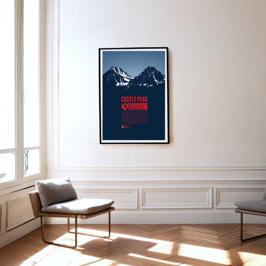
Castle Peak, in the centre of Idaho, is the highest mountain in the White Cloud Mountains, a range within the Rocky Mountains. It rises above nearby Merriam Peak to the north. On clear days you can see more than 25 lakes from the summit. The Bald Mountain, Dollar Mountain and Soldier Mountain ski areas are close by. With a climbing grade of III, the ascent to the summit is best left to experienced mountaineers.
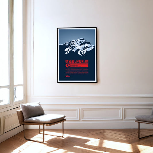
Cascade Mountain is a familiar sight for visitors to Banff in Alberta. The foot of the mountain reaches almost to the town boundary in the north, and pictures of Banff Avenue in the centre often show the peak rising impressively above the town in the background. Like its present-day name, the Indigenous name "Minihapa" ("mountain where the water falls") refers to the waterfall on the mountain's southern flank. Among locals the name "Stoney Chief" is also common, echoing the neighbouring mountain "Stoney Squaw". The nearby Norquay Ski Area is a popular starting point for the ascent to the summit.
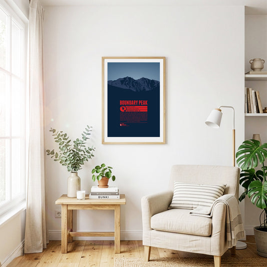
Boundary Peak in the White Mountains, east of the Sierra Nevada, is the highest natural point in Nevada. The summit got its name because it is siutated only one kilometre from the state border to California. Boundary Peak is generally considered not to be an independent mountain, but a sub-peak of the significantly higher Montgomery Peak (13441 ft) on the Californian side of the White Mountains. Thus Boundary peak has a relavively low prominence of only 253 feet.
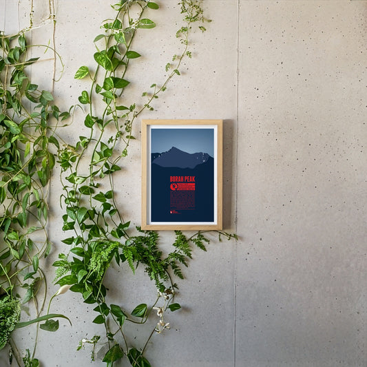
Borah Peak is Idaho's highest mountain and the highest peak of the Lost River Range in the Rocky Mountains. It is surrounded by many of the other highest mountains of the state, like Mount Idaho or Leatherman Peak. Borah Peak was named after William Borah, a long-term serving US-senator from Idaho. On the way to the summit one has to cross passages, usually covered with ice and snow, year-round, which makes ascending the mountain quite challenging. The first successful recorded ascent was made in 1912.
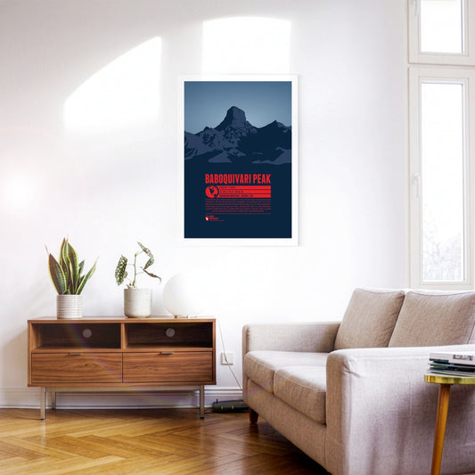
Baboquivari Peak, in southern Arizona, is the highest point in the Baboquivari Mountains and the Baboquivari Peak Wilderness. The mountain top rises up sharply and is a popular destination for tourists and climbers. The Kitt Peak National Observatory lies close-by. Baboquivari Peak is of particular importance for the native Tohono O’odham people. According to their believe the creator I'itoi resides in a cave below the mountain base.
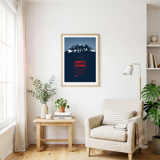
The Zugspitze is Germany's highest mountain and the highest peak of the Wetterstein Mountains. Below the summit there is a ski area and three glaciers which will probably disappear in the years to come in course of the climate change. An asteroid has been named after the Zugspitze. On the summit which can be reached with three different aerial lifts there is even a little theme park.
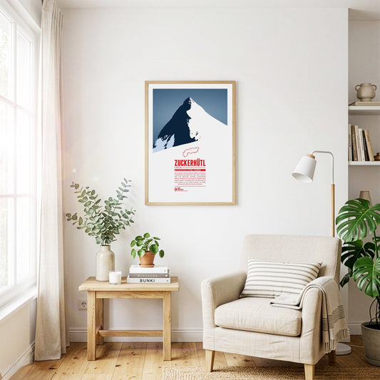
Das Zuckerhütl an der Grenze zu Südtirol ist einer der charakteristischsten Berge der Alpen. Seine Nordseite wird vom mächtigen Gletscher Sulzenauferner bedeckt, während er zum Süden hin hunderte Meter schroff abfällt. Von seinem Gipfel aus kann man bei gutem Wetter bis zum Ortler schauen, an seinen Hängen die Pisten des Stubaitals genießen.
Die Wildspitze ist der zweithöchste Berg Österreichs und der höchste Berg der Ötztaler Alpen. Durch die große Schartenhöhe ist die Aussicht von der Wildspitze praktisch nur durch die Erdkrümmung begrenzt und reicht von den Berner Alpen im Westen, mit Bietschhorn und Aletschhorn, bis zur Schobergruppe im Osten. Im letzten Jahrhundert war der Nordgipfel der höhere Gipfel der Wildspitze, dieser ist aber abgeschmolzen. Heute ist der Südgipfel der höchste Punkt des Berges.
Despite its comparatively modest height, the Wilder Kaiser is one of the landmarks of the Eastern Alps thanks to its prominence and easy accessibility. The Kaiser range is a popular destination for climbers and skiers alike. Pioneers such as Hans Dülfer developed entirely new climbing techniques here, and the "Wilder Kaiser/Brixental" ski area, one of the largest in Austria, extends across its slopes.
Legend tells that the Watzmann is a royal family, turned into stone after being cursed by a woman. As the central massif of the Berchtesgaden Alps it shapes the entire landscape of southeastern Upper Bavaria. The east face is one of the most fascinating challenges for climbers in the entire Alps.
The Tschingelhörner are a multi-peak mountain in the Glarus Alps. Like giant dwarves the peaks reside above a layer of Verrucano formation. This young rock formation rests on top of an older one, together forming the Glarus thrust, a famous geotope and UNESCO World Heritage Site. Even though the highest mountain of the Glarus Alps is the Tödi, the Tschingelhörner's unique shape make them a popular tourist destination as well.
Slovenia's highest mountain is an icon for the Eastern Alps and a national symbol shown on the country's coat of arms and the 50 cent coin. Triglav can sometimes still be spotted from a distance of 100 km. Slovenia's only national park is named after the mountain. The opening of the 2864 Bohinj ski resort as the largest Slovenian ski resort, combining both tourism and ecology is planned in the near future.
Thanks to its forward position and striking silhouette, the Traunstein is often called the guardian of the Salzkammergut – in good weather it can be spotted from over 150 km away. At 1691 m it may be small fry among the mountains of the Alps, but its beauty has always attracted prominent visitors. Emperor Franz Joseph came here regularly to hunt chamois.
The Tödi is the highest mountain of the Glarus Alps. Large parts of the mountain are glaciated which makes them hard to reach. The name is said to come from the Swiss German “d'Ödi” (“Ödnis” in Standard German, a wasteland) which transformed into Tödi over time. With a clear sky the view from the summit reaches up as far as Zürich, 70 kilometers in the distance.