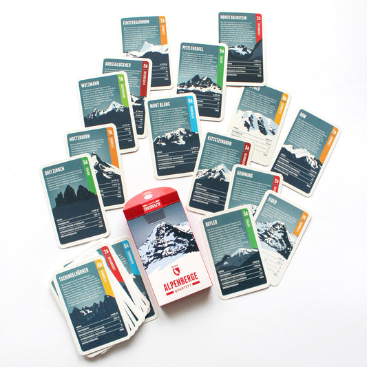
Like a boulder tossed aside, the Grimming stands isolated to the east of the Dachstein, and its imposing appearance makes it one of the attractions of Styria. It consists mainly of Dachstein limestone and is a popular destination for climbers. Because of its exposed position, the Grimming played an important role in the surveying of Austria: a wooden survey marker was placed on the summit as early as 1822.
The highest mountain of Liechtenstein is part of the Rätikon range and a popular destination for Liechtenstein's sportive inhabitants. The rhine flows seven kilometers west of the summit and takes up the mountain's water. A few kilometers to the north you can find Liechtenstein's only ski resort “Malbun/Sareis”.
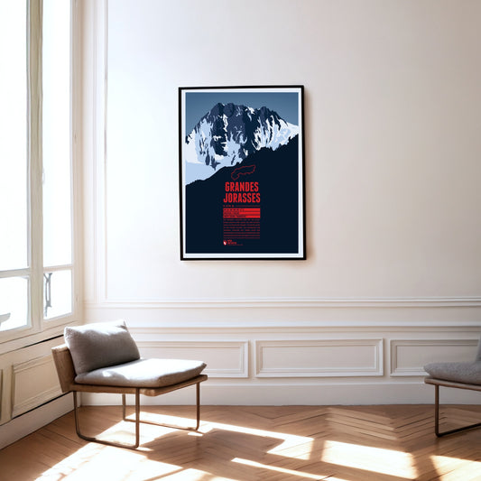
The summits of the Grandes Jorasses are part of the Mont Blanc massif on the French-Italian border. The highgest peak is Pointe Walker. Besides Eiger and Matterhorn, the Grandes Jorasses' north face is known as one of the greatest challenges for climbers in the Alps.
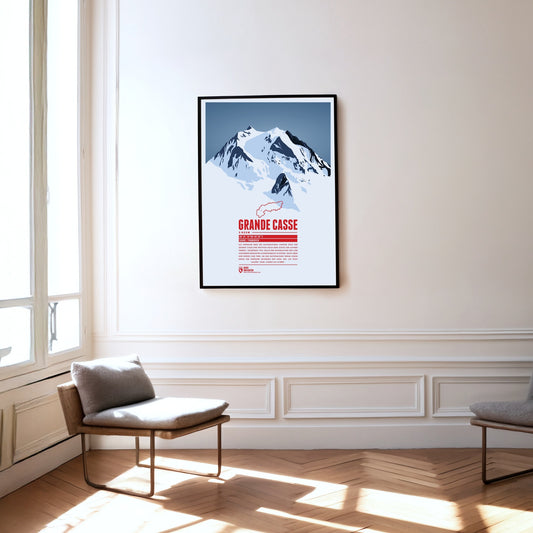
Situated in the centre of Vanoise National Park the Grande Casse plays a crucial part in the protection of the Alpine fauna. Founded in 1963 the national park was supposed to protect endagered species as the Alpine ibex, the number of which climbed back up to 2500. Around the national park there are some of the largest ski resorts in the Alps as “Les 3 Vallées” or “Tignes/Val-d'Isère”.
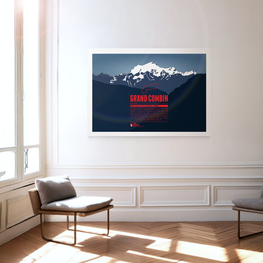
The Grand Combin mountain massif is part of the Pennine Alps in the southwest of the Swiss canton of Vallais. Its three major peaks belong to the highest in the entire Alps. Large parts of the mountains are glaciated which is why people also call it a “giant ice block”. The ascent is dangerous but rewards climbers with a magnificient view over clear mountain lakes.
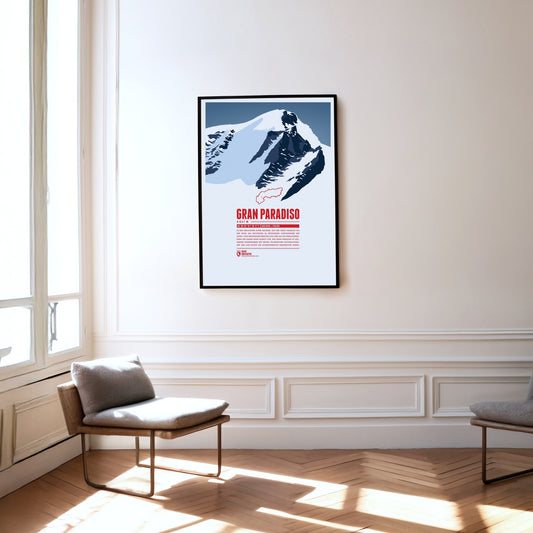
Situated in the Graian Alps, the Gran Paradiso is regarded as the Alps' easiest four-thousander to climb. Many mountaineers prepare here for the challenge of climbing the nearby Mont Blanc. The first Italian national park which spreads around Gran Paradiso is named after the mountain. The park was established in 1856 to protect the endangered Alpine ibex.
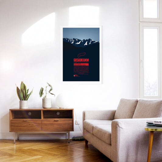
The Gosaukamm is a small mountain massif in the Austrian Dachstein Mountains. The border between the Austrian states of Salzburg and Upper Austria runs along the rough mountain ridge. The Gosaukamm is a popular destination for extreme skiers in the winter due to its steep slopes. Since the danger of avalanches is quite high though, it is recommended only for skilled skiers familiar with the area.
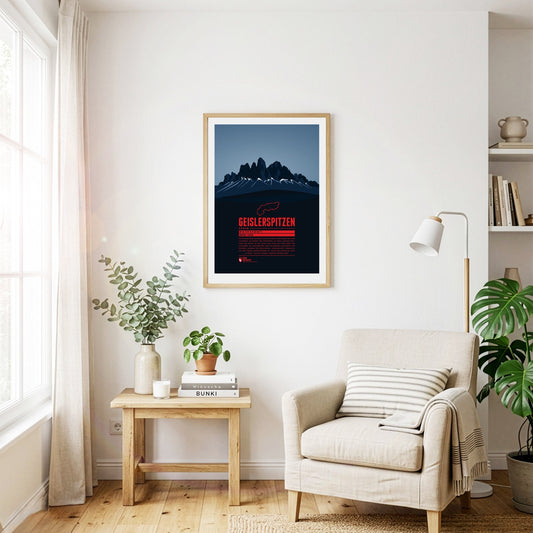
The Geisler group is part of the Dolomites situated between Funes Valley in the north and Val Gardena in the south. The highest peak of the group is Sass Rigais with 3025 m. The Geisler group is a popular destination for climbers. While the German name of the group probably goes back to a person named “Geisler”, the Ladin name “Le Odles” can be translated as “needles”.
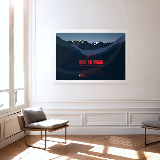
The Furgler, just over 3000 m high, is part of the Samnaun Alps in Tyrol, Austria. It is one of the most visited mountains of the region. The lifts of the nearby ski resort Serfaus-Fiss-Ladis are often used when attempting to climb to the summit. The Furgler is also a popular destination among ski mountaineers.
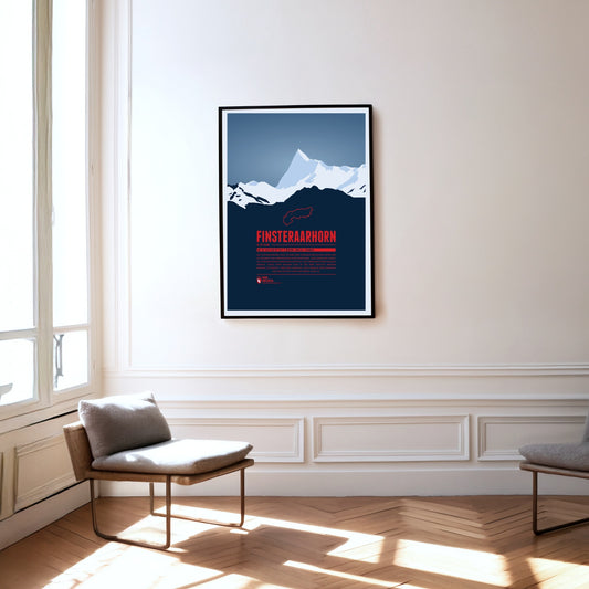
The Finsteraarhorn is located in a quite remote are of the Alps, surrounded by uninhabited glacial valleys. Seen from the northeast the summit resembles a shark's fin, from the soutwest it looks like a giant triangle. In spite of being the highest summit of the Bernese Alps the Finsteraarhorn's remote location makes it much less known than the lower peaks of Mönch, Eiger and Jungfrau.
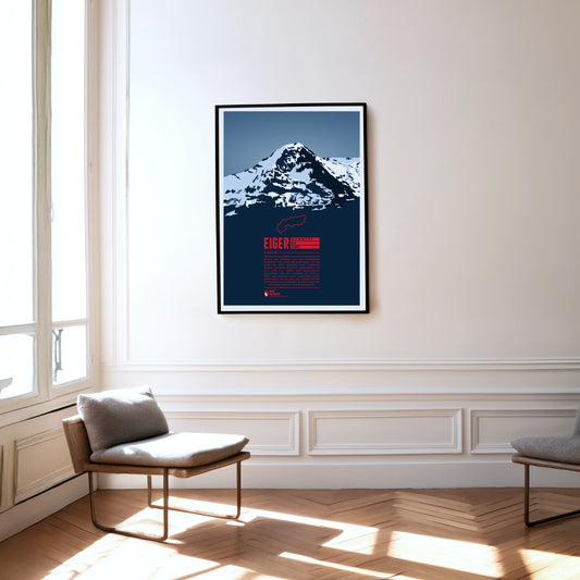
The Eiger in the Bernese Alps is forming one of the most famous Alpine mountain ridges, together with Mönch and Jungfrau. The Eiger is especially known for its 1800 metre high north face which has been described impressively in A.W. Moore's standard work ‘The Alps’ in 1864: “Of the thousands who annually pass under the shadow of this magnificent wall, which in height and steepness alike excels the corresponding face of the Wetterhorn, few have failed to be impressed with its rugged and precipitous character.”
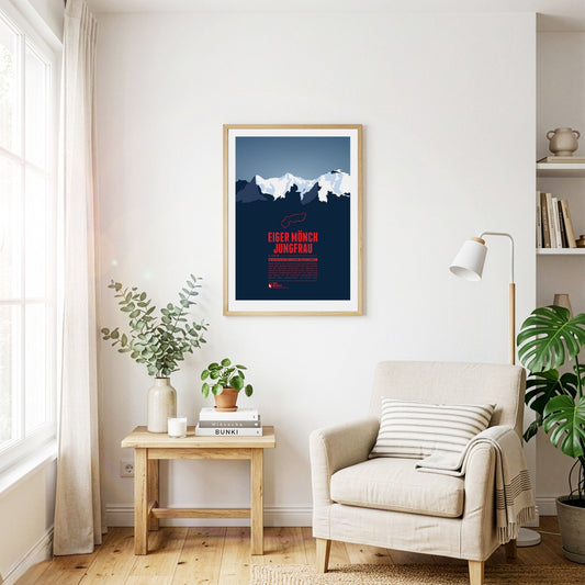
Eiger, Mönch, and Jungfrau form one of the most famous and characteristic mountain groups in Switzerland and in the whole Alpine region. The Jungfrau in the West is the highest of the three summits. Since 1912 a rack railway, which has been named after the Jungfrau, is making its way up via Eiger and Mönch to Europe's highest railway station Jungfraujoch on 3454 metres.
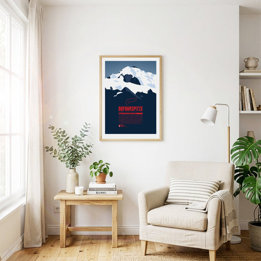
The Dufourspitze is the highest mountain of Switzerland and the highest peak of Monte Rosa, one of the Alps' most impressive mountain massifs. The Swiss-Italian border runs along about 100 m east of the summit. The mountain is named after Guillaume-Henri Dufour, a Swiss general and topographer who published the first official map of Switzerland in 1845.
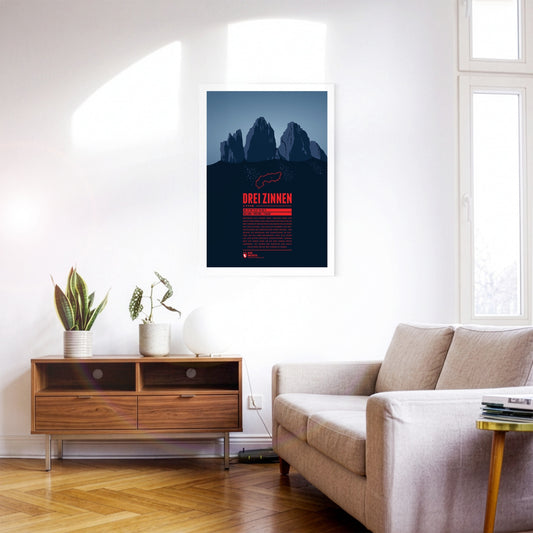
These three peaks of the Sesto Dolomites are a popular destination for mountaineers. It was here that many developments of mountaineering began, for example the discipline of sport climbing. Unfortunately, part of their popularity can be traced back to World War I. At the time, the area around the battlements was fiercely contested, the remains of which can still be found around the three peaks today.
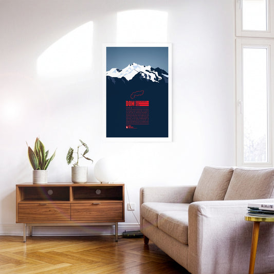
With 4545 metres the Dom is the highest mountain with its entire base completely located in Switzerland. The view from the top offers a spectacular panorama far into the country and over the Monte Rosa massif due to the mountain's high prominence. The Dom is named after the Canon of the Sitten cathedral (in German: "Dom") who took part in the first official surveys of the area. The ski resort “Saas-Fee” is only six kilometres away, and even in the summer allows for some of the highest and most beautiful ski-runs in the entire Alps.
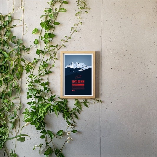
The Dents du Midi are a mountain range which spans over three kilometers in the Swiss Canton of Valais. The seven peaks, all of which reach a height of about 3,200m, offer magnificient views both of Lake Geneva and the Rhône plains and are habitat for diverse plant and animal life, making them a popular destination for hikers and mountaineers.
The Dent du Géant (the Giant's Tooth) is part of the Mont Blanc massif on the border between France and Italy. The northeast summit which rises up steeply gave the mountain its name. The lower southwest summit is also just above the 4000 meter mark.
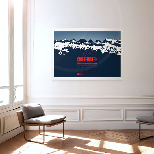
The Churfirsten form a striking mountain range in the Appenzell Alps in the Swiss canton of St. Gallen. Of its seven summits, the Hinterrugg is the highest at 2306 m. While the range tapers off relatively gently to the north, to the south it drops steeply down to the Walensee at an altitude of around 420 m.
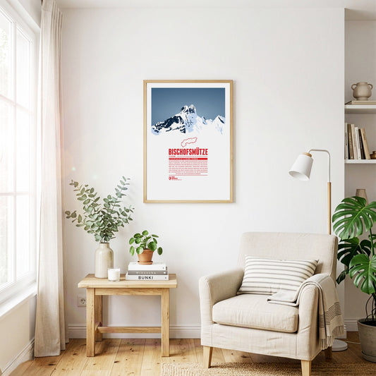
The Bischofsmütze, German for “bishop's hat”, owes its name to the distinctive shape of the double summit. The border between the Archduchy of Austria and the Archdiocese of Salzburg ran along the mountain, until the beginning of the 19th century. The mountain was said to keep watch over the Eastern Pongau region, which was administered by the Archbishop of Salzburg. Even though in 1993 the Bischofsmütze lost a 200 meter cliff wall in a massive rock slide, which changed the mountain's appearance significantly, it remains a popular destination for mountain climbers since the first ascent, made in 1879.
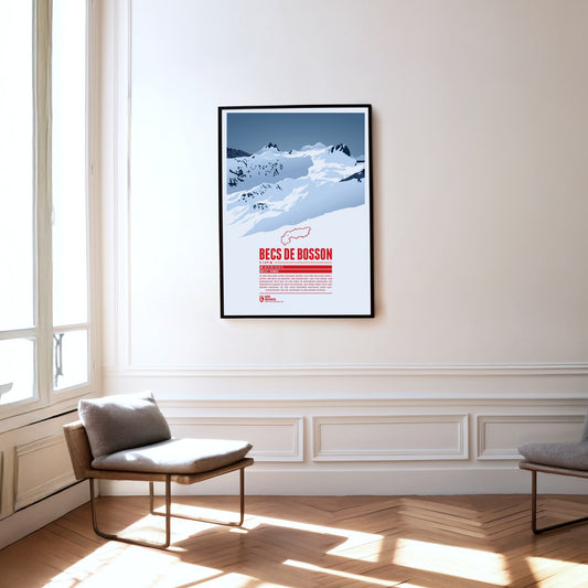
Situated in the Pennine Alps in the Swiss canton of Valais the main summit of the Becs de Bosson, the Grand Bec, rises up to 3149 metres. The subpeak, Petit bec, is only 20 centimetres lower. The mountain chalet Cabane de Becs de Bosson at an altitude of 2983 metres is the starting point or rest stop for many climbers attempting to reach the summit.
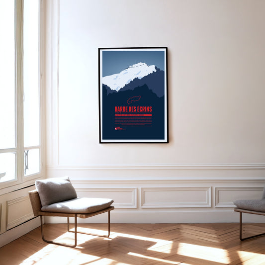
The Barre des Écrins is the Alps' western- and southernmost four-thousander, situated in the Dauphiné-Alps, a wild and rough region in southeastern France. The mountain's north face is covered by the mighty Glacier Blanc, which climbers usually pass on their way to the summit. There are no classic Alpine ski resorts around the mountain but La Grave in the north of the Barre des Écrins has become one of the centers for freeriding and extreme skiing in the Alps.
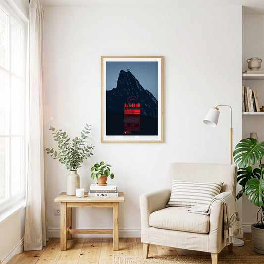
The Altmann rises steeply almost 1000 metres over the valleys of the Alpstein. The second highest summit of the Appenzell Alps is a classic climbing mountain. The view from the top is impressive and goes from Lake Constance, over the Rhine valley, the Allgäu Alps, the Rätikon, the Silvretta Alps, up to the Bernese Alps, and Lake Zurich. Around the Altmann you have a fairly good chance to meet Alpine ibexes, which are widespread in the area.
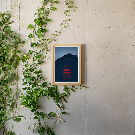
The Alpspitze is located in the Wetterstein mountains close to Germany's highest mountain, the Zugspitze. In spite of its low prominence the mountain's unique pyramid shaped peak makes it one of the most iconic mountains of the Northern Limestone Alps and one of the best-known landmarks of nearby Garmisch-Partenkirchen.
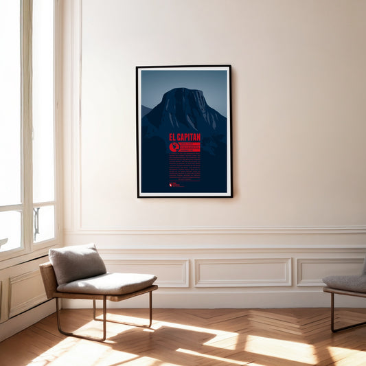
El Capitan is one of the most famous landmarks in Yosemite National Park and a dream destination for climbing fans from all over the world. The rock face, a good 1000 metres high, has a south-western and a south-eastern flank. The south ridge between them is known as "The Nose" and was climbed during the first ascent of the wall in 1958. More than 70 routes have since been established on the face; the fastest ascents have been completed in under two hours, while the longest stays on El Capitan's walls have lasted more than 200 days.
Mount Yari is centrally located on the Japanese island of Honshū in Nagano Prefecture. It is situated in the Hida Mountains, which are part of the Japanese Alps. Mount Yari is one of the “100 Famous Japanese Mountains”, which were listed by Kyūya Fukada in 1964, and it is the fifth highest peak of the country. The mountain owes its name Yari, which translates to “spear”, to its characteristic pointed shape. For this reason it is also known as the “Matterhorn of Japan”.
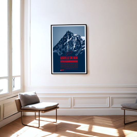
South of Chamonix, the peak of Aiguille du Midi towers in the Mont Blanc massif. It offers a magnificient view and is the starting point for various climbing routes to the surrounding four-thousander peaks, most of all the famous Mont Blanc. A cable car has been running up the Aiguille du Midi since 1955, making the summit, which is now equipped with restaurants and tourist shops, easy to reach. The highest peak of the Aiguille du Midi was climbed for the first time in 1856. Nowadays, the south face is particularly popular for its many climbing routes.
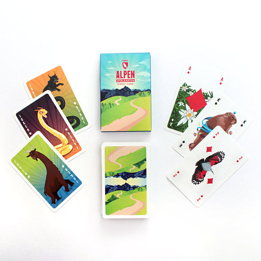
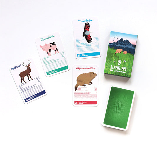
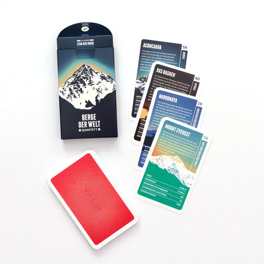
Playing cards in an Alpine setting with our Alpine Playing Card set. 52 playing cards + 3 jokers with handillustrated motifs of the Alpine flora and fauna, sports and more.