Seinem pyramidenförmigen Gipfel hat der Machapuchare den Beinamen „Matterhorn Nepals“ zu verdanken. Der eigentliche Name bedeutet soviel wie „Fischschwanz“, an welchen der Berg von Westen betrachtet erinnert, wenn der zweite Gipfel zum Vorschein kommt. In Nepal gilt der Berg als heilig, da er der Sitz Amitabhas, dem Buddha des grenzenlosen Lichts, ist. Deshalb wurde 1964 durch den nepalesischen König ein Besteigungsverbot ausgesprochen. Bis heute gilt der Machapuchare daher als höchster unbestiegener Sechstausender.
Zwischen Matterhorn und Monte-Rosa ragt der fünf Kilometer lange Liskamm empor. Sein höchster Punkt ist der Ostgipfel. Auf nordöstlicher Seite des Kamms fällt eine vereiste, über 1000 Meter steile Felswand ab. Südlich befindet sich der stark zerrissene Lysgletscher. 1861 wurde der Ostgipfel das erste mal bestiegen und drei Jahre später überschritten Alpinisten das erste mal den Grat. Die Gratüberschreitung kostete schon viele Bergsteiger das Leben, weshalb der Liskamm den Beinamen „Menschenfresser“ erhielt.
West of the Sella group the peaks of the Langkofel or Sassolungo Group form a nearly perfect half circle. The two dominant summits are the Langkofel (Sassolungo) in the northeast as the highest peak of the group and Plattkofel (Sasso Piatto) in the southwest. Due to the many ski resorts in the winter the area can be accessed with various aerial lifts, among them a gondola from Sella Pass to the mountain hut Utia Toni Demetz. The famous ski circuit Sella Ronda also leads alongside the Langkofel Group.
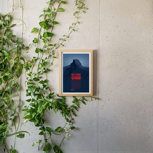
Half Dome is a prominant rock tower in Yosemite National Park. Its impressive northwest face rises almost 1500 meters (5000 feet) above Yosemite Valley. The mountain is a very popular photo motif as well as a paradise for climbers. While Half Dome was declared absolutely inaccessible for humans in 1865 only ten years later George Anderson was the first to reach the summit after successfully climbing the rock wall. In 1957 the first grade VI climb in North America was achieved at Half Dome.
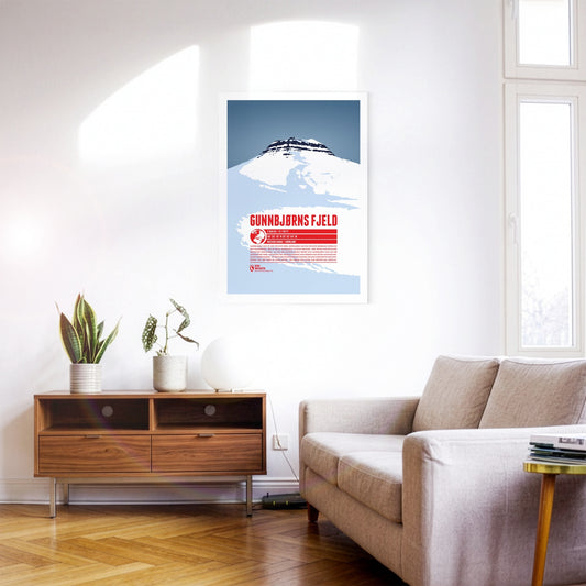
Gunnbjørn Fjeld ist der höchste Berg Grönlands und die höchste Erhebung nördlich des Polarkreises. Der ist nach Gunnbjørn Ulvsson benannt, dem ersten europäischen Entdecker Grönlands. Als Teil der Watkins Range erhebt sich Gunnbjørn Fjeld an der Ostküste der Insel. Aufgrund der abgeschiedenen Lage werden nur selten Aufstiegsversuche unternommen. Die erste nachgewiesene Besteigung gelang einer britischen Expedition 1935. Erst über 35 Jahre später, 1987 wurde der Gipfel zum zweiten Mal erreicht.
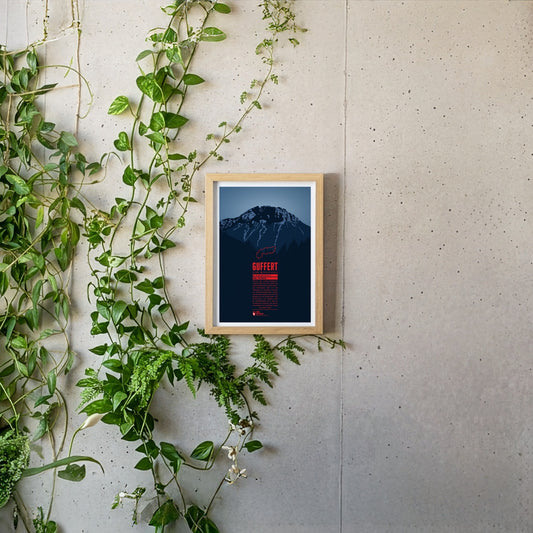
Südlich der deutsch-österreichischen Grenze ragt der Guffert mit seinem felsigen Doppelgipfel empor. Der freistehende Berg ist vom Tegernsee aus prominent sichtbar. Mit abwechslungsreichen Steigen und leichten Kletterstellen ist er ein beliebtes Ziel für Tagestouren. Vom Gipfelplateau aus erwartet einen ein weitreichender Blick über die Bayerischen Voralpen, das Wettersteingebirge, das Karwendel sowie die Hohen Tauern.
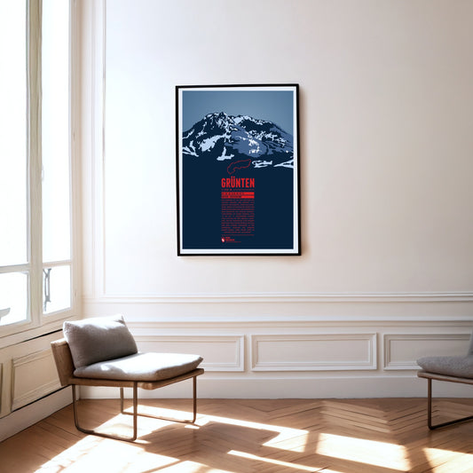
The Grünten is known as the Watcher of the Allgäu and is located south of Kempten, near the fringe of the Alps. During the Middle Ages the Grünten had already been climbed for the first time and a large deposit of iron ore was discovered. From the 15th to the 19th century many mining tunnels were dug. The iron ore production required large amounts of wood and the forest clearings on its slopes gave the Grünten ist name, since in the local dialect it simply means “bald head”.
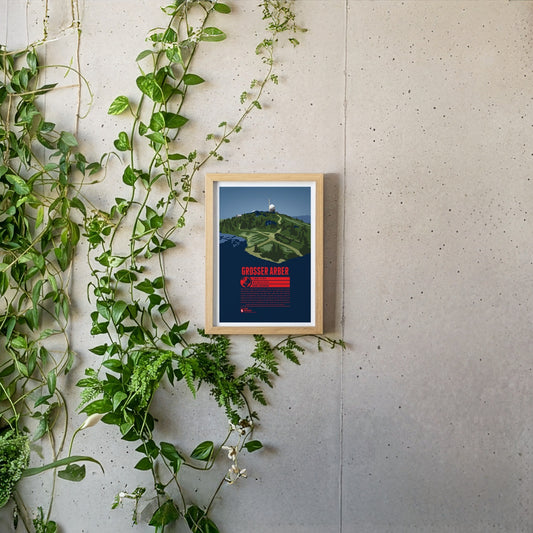
The Großer Arber or Great Arber is also known as the "King of the Bavarian Forest", since it is the high point of the mountain range. The mountain is surrounded by nature reserves and two lakes, close to the Czech border. Hiking trails and ski slopes make the Großer Arber an attractive tourist destination. On a clear day the view from the summit reaches as far as to the Alps. Next to the Aber chapel, which is just below the summit, two air force radar stations can be found, as relics of the Cold War.
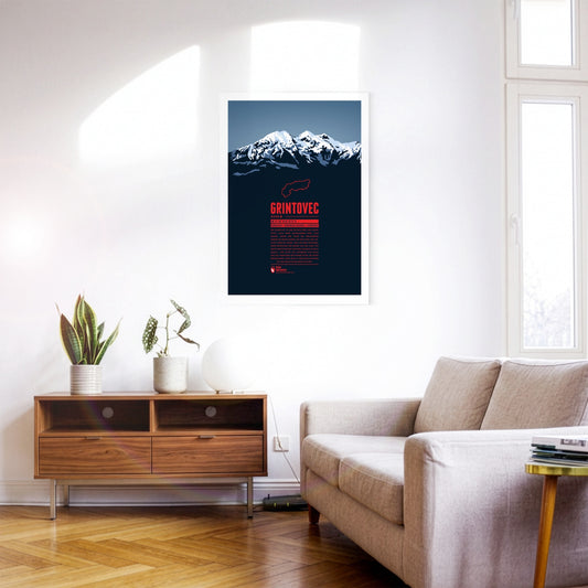
Grintovec is the highest peak of the Kamnik–Savinja Alps. While it is assumed that farmers, herdsmen or hunters from the area were the first to reach the summit of Grintovec the first documented ascent was achieved by the botanist Giovanni Antonio Scopoli om 1759. The mountain top offers a panorama view of the Kamnik–Savinja Alps and when weather conditions are good to the south one can even spot the Adriatic Sea.
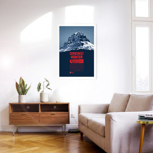
Crowsnest Mountain is a massive rock tower on the eastern side of the Rocky Mountains. The monolith raises south of the Seven Sisters. Further south is highway 3 which offers some spectacular views of the mountain. The name goes back to the native Cree who named the rock after the black ravens - not crows - which were nesting in the area.
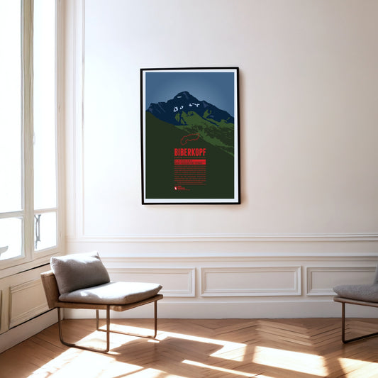
The Biberkopf (beaver's head) rises at the end of the main ridge of the Allgäu Alps and is considered to be Germany's most southern mountain. The border to Austria runs along the distinctive summit. The name of the mountain goes back to larger beaver colonies that populated the nearby Lechtal and the surrounding high moors. Beavers are also part of the traditonal womens' costumes of the area which include beaver hats.
Southwest of Oberstdorf, on the border between Bavaria and Vorarlberg the Söllereck rises as the northernmost summit of the Fellhorn ridge. The mountain is thus situated between the entries to the valleys Kleinwalsertal in the west and Stillachtal in the east. Via the Söllereckbahn aerial lift one reaches the summit station on 1358 meters. In the winter it is part of the ski area Oberstdorf / Söllereck.
The Nebelhorn is a summit in the Daumen Group of the Allgäu Alps, rising east of Oberstdorf. The aerial lift Nebelhornbahn brings passengers almost directly onto the summit, making it the highest aerial lift of the Allgäu. Even the Nebelhorn Trophy, a yearly international figure skating competition at Oberstdorf is named after the mountain.
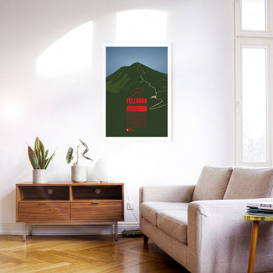
The Fellhorn is known as the flower mountain of the Allgäu Alps, especially due to the large fields of alpenroses on its slopes. As part of the Schafalp-group in previous times the mountain was also known under the name “Schlappolder Spitz”. From the Stillachtal valley the aerial lift Fellhornbahn takes visitors to a height of about 70 meters below the summit.
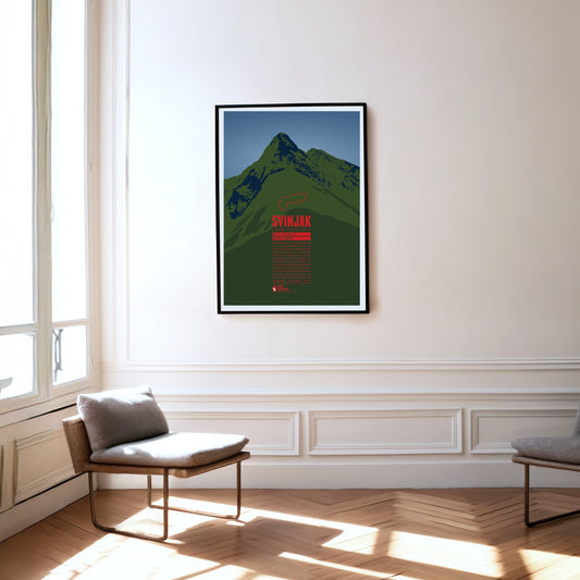
Im Nationalpark Triglav erhebt sich der pyramidenförmige Gipfel des Svinjak. Aufgrund seiner markante Form wird er auch als „Matterhorn von Bovec“ bezeichnet, da er zum Wahrzeichen der an seinem Fuß liegenden Ortschaft geworden ist. Trotz seiner vergleichsweise niedrigen Höhe ist der Svinjak ein beliebter Aussichtsberg. Von seinem Gipfel kann man das Bovec-Becken, das Soča-Tal und den höchsten Gipfel Sloweniens, den Triglav sehen.
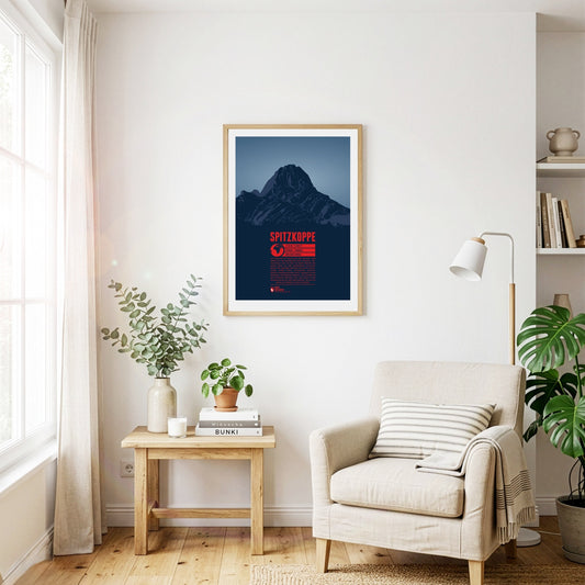
Die Spitzkoppe ist zwar nicht der höchste, aber vermutlich der berühmteste Berg Namibias. Eindrucksvoll ragt sie etwa 700 Meter inmitten der Namib Wüste aus dem umliegenden Flachland empor. Der Inselberg entstand vor circa 100 Millionen Jahren durch vulkanische Aktivität. Seinem pyramidenartigen Gipfel verdankt er den Beinamen „Matterhorn Namibias“. Das Klettern an der Spitzkoppe empfiehlt sich vor allem in den Wintermonaten auf der Südhalbkugel, da sich die Felsen im Sommer zu stark aufheizen.
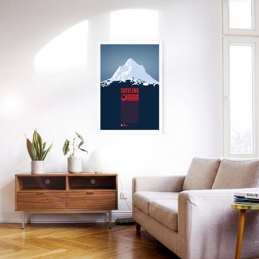
Der Shivling ist ein markanter pyramidenförmiger Gipfel im nordindischen Teil des Himalayas. Der Name ist auf die hinduistische Gottheit Shiva zurückzuführen, wobei der Berg von britischen Alpinisten auch als “Matterhorn Peak” bezeichnet wurde. Der Gangotrigletscher, einer der größten im Himalaya, liegt östlich des Berges. Hier entspringt mit dem Bhagirathi einer der Quellflüsse des Ganges, weshalb ein bekannter Pilgerweg in die Gegend führt. Erstmals bestiegen wurde der Shivling im Jahr 1974 durch eine Expedition der indisch-tibetischen Grenzpolizei.
Der spitze Gipfel des Mount Aspiring ragt in den Neuseeländischen Alpen auf der Südinsel, westlich des Lake Wanaka empor. Die Maori nennen den Berg Tititea, was „Glitzernder Gipfel“ bedeutet. Wegen seiner Form wird er auch als das „Matterhorn des Südens“ bezeichnet. Umgeben von Gletschern im gleichnamigen Nationalpark gehört der Mount Aspiring mittlerweile zum UNESCO Weltnaturerbe. Der Berg ist zudem ein beliebtes Ziel zum Klettern und für den Wintersport.
Nur wenige Menschen haben bisher den Gipfel des Jirishanca, des „Kollibrischnabels aus Eis“ erreicht. Die steil aufragende Felspyramide in der Cordillera Huayhuash ist auch als das „Matterhorn der Anden“ bekannt. Im Juli 1957 gelang den Österreichern Toni Egger und Siegfried Jungmair die Erstbesteigung über die Nordostwand. Diese Route wurde 1969 zum zweiten und bisher letzten mal erfolgreich begangen. Im selben Jahr gelang auch der erste Aufstieg über die Westwand.
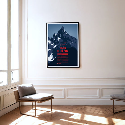
Der Gipfel des Cimon della Pala ist eine markante Felspyramide, weswegen der Berg auch als das „Matterhorn der Dolomiten“ bekannt ist. Einen besonders schönen Blick auf den Gipfel sowie die umliegenden Berge der Palagruppe hat man vom Gebirgspass Passo Rolle in fast 2000 Metern Höhe. Die Normalroute auf den Gipfel führt über den Ostgrat, wurde jedoch erst 1989 zum ersten mal durchstiegen. Bei der Erstbesteigung des Bergs 1870 wurde hingegen die Route über die Nordwand begangen.
Even though Patscherkofel is neither a particularly high peak in its area, nor considered very beautiful, its location south of Innsbruck make it the home mountain of the city. The transmission tower “Sender Patscherkofel” on the top rises another 67 meters above the summit. Patscherkofel became known to an international audience during the Olympic Winter Games of 1964 and 1976 when the Alpine ski competitions took place on the slopes of the mountain.
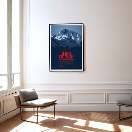
The Großer Krottenkopf is situated in Tyrol, south of the Bavarian town Oberstdorf. It is the highest point of the Hornbach Chain and the highest summit of the entire Allgäu Alps. The normal route to the Krottenkopf leads from the Alpine club hut Kemptner Hütte via the col Krottenkopfscharte, about 300 meters below the summit on the southern ridge of the mountain.
Die Trettachspitze ist der höchste Berg der Allgäuer Alpen, der sich komplett in Bayern befindet. Der markante Gipfel wird aufgrund seiner Erscheinung auch als das „Matterhorn des Allgäus“ bezeichnet. Der Aufstieg auf die Trettachspitze ist erfahrenen Kletterern vorbehalten. Als leichteste Route gilt der Weg über den Nordwestgrat. Häufig begangen werden vor allem unterschiedliche Routen an der Westwand des Bergs.
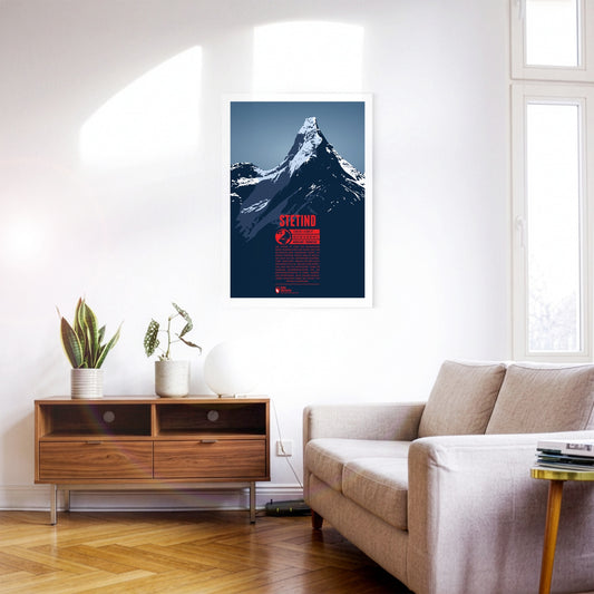
Der Stetind ist einer der bekanntesten Berge Skandinaviens und wurde 2002 zum nationalen Berg Norwegens gekürt. Als nahezu perfekter Obelisk wird er manchmal auch als das „Matterhorn Skandinaviens“ bezeichnet. Obwohl der Berg nicht besonders hoch ist, machen seine nördliche Lage und die klimatischen sowie die harschen Wetterbedingungen vor Ort Besteigungsversuche zu einem schwierigen Unterfangen. Nach einigen misslungenen Versuchen wurde der Stetind 1910 erstmals bezwungen.
Kebnekaise is Sweden's highest mountain. It is situated in the far north of the country, about 150 kilometers north of the Arctic Circle. The mountain consists of two main summits. For a long time the southern peak (Sydtoppen) was the higher of the two. It was highly glaciated and since the ice at the summit strongly decreased in recent years, nowadays the mostly ice-free northern peak (Nordtoppen) is the high point of the massif.
The rocky spires of the Rosengarten group rise to the east of Bolzano in the Dolomites. Its highest summit is the Kesselkogel. At sunset, the rock of this popular viewpoint glows in magnificent shades of red – a phenomenon known as alpenglow, or enrosadira in Ladin. Legend surrounds the mountain: the dwarf king Laurin is said to have cursed the Rosengarten after losing a battle for the king's daughter. The "Gartl" was to be visible neither by night nor by day, which is why today it appears only at dusk, during the alpenglow.
Uluru is one of Australia's most famous landmarks, situated in the center of the country, southwest of Alice Springs. The British first named the mountain Ayers Rock. Because of its huge spiritual importance for the Anangu, the native inhabitants of the area, in 2019 climbing Uluru was permanently banned. Uluru is known for its changing colors throughout the day, especially during dusk and dawn. Another phenomenon can be observed during the rare heavy rainfalls in the area when for a short time the walls of Uluru become waterfalls.
The major landmark of Cape Town towers in the west over the second biggest city of South Africa. The three kilometer long summit plateau is characteristic as are the neighboring peaks Lion's Head in the south and Devil's Peak in the north. Since 1929 a funicular airway leads onto Table Mountain which can also be accessed via a number of different hiking trails which both contribute to making the mountain one of the most popular tourist destination in all of South Africa.
The Mythen are the iconic landmarks of Schwyz and are located east of the capital of the canton with the same name. The highest summit is the Grosser Mythen in the south. In the north the lower Kleiner Mythen rises and even further north is its sub-peak Haggenspitz. While hiking trails lead up to the Grosser Mythen the two lower summits can only be reached via climbing passages.
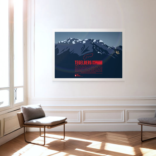
The Tegelberg rises in the Allgäu near Füssen. The highest summit of the massif is the Branderschrofen. The Tegelberghaus lies about 150 meters below the summit and can be accessed with the cable car Tegelbergbahn. Close to the mountain station is a popular starting point for paragliders who appear in large numbers during the warm season. On the western foot of the mountain is Hohenschwangau with the world famous Neuschwanstein Castle.
The Montserrat mountain massif is situated in the center of Catalonia. The characteristic and impressive appearance of the mountain chain is due to the red sand stone and the many rock needles. The high point of Montserrat is Sant Jeroni. Well-known is the Benedictine Abbey Santa Maria de Montserrat in the east, which was tightly squeezed to the rock. Several air funiculars and the funicular railway Cremallera de Montserrat transport visitors onto the mountain nowadays. It is also a popular destination for hiking, climbing, or biking.
Mexikos dritthöchster Berg, Iztaccihuatl oder kurz Ixta, erhebt sich nördlich des Popocatépetl zwischen der Hauptstadt und Puebla. Der Name des Bergs kann mit „weisse Dame“ übersetzt werden, denn von Osten oder Westen aus gesehen erscheint das Profil des Bergrückens wie eine liegende Frau mit Kopf, Brust, Knien und Füssen. Die besten Wetterbedingungen für den Aufstieg auf den Berg herrschen im Frühjahr. Aufgrund der Höhe über 5000 Meter sollte dabei ausreichend Zeit für die Akklimatisierung eingeplant werden.
The Watkins Range is the highest mountain range on Greenland, including the island's highest mountain Gunnbjørn Fjeld. Other notable three-thousanders of the range include Gunnbjørn Dome (3682 m) and Gunnbjørn Cone (3669 m). The mountains in the Watkins Range are so-called “nunataks”, rocks which emerge from an area which is otherwise covered entirely by ice and glaciers.
The Rax massif is located north of the Semmering Pass and is part of the Rax-Schneeberg group. The highest point of the mountain plateau is the Heukuppe. In 1894 Fritz Benesch developed the first grading system for alpine climbs at the Rax. In addition, after a disastrous avalanche the world's first mountain rescue service was founded here in 1896.
Popocatépetl is the second-highest mountain in Mexico and one of the country's most active volcanoes. The partly glaciated stratovolcano rises between Mexico City and Puebla and shapes the skyline of both cities. According to an Aztec legend, the volcano is the tomb of the former tribal leader Popocatépetl transformed into a mountain, while the neighbouring sister volcano Iztaccíhuatl is the tomb of his beloved.
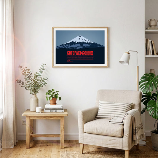
The perfect volcanic cone of Cotopaxi rises in the Andes close to the equator. The mountain is one of the highest active volcanoes on Earth. Over 80 eruptions have been documented over the past 500 years, with the last major eruption from 1903 to 1904. The first European who tried to climb to the summit was Alexander Humboldt in 1802. He had to turn around though after reaching a height of about 4500 meters. Thus 70 years later Wilhelm Reiss and Angel Escobar achieved the first documented ascent of Cotopaxi.