The name Badile means ‘shovel’ in Italian, because the mountain’s notorious north-east face really does resemble a shovel blade. Together with its neighbouring peaks, the Piz Badile is one of the most famous climbing mountains in the Alps. Its north face is considered extremely demanding.
The highest mountain of the Grisons and the Albula Alps lies at the heart of Grisons. That central position makes the Piz Kesch a popular tour destination. As the highest point between the Silvretta and the Adula Alps, it offers one of the finest views in the region from its summit: in clear conditions it reaches as far as the Ötztal Alps, the Ortler and the Adamello, the Bernina group and the Valais Alps.
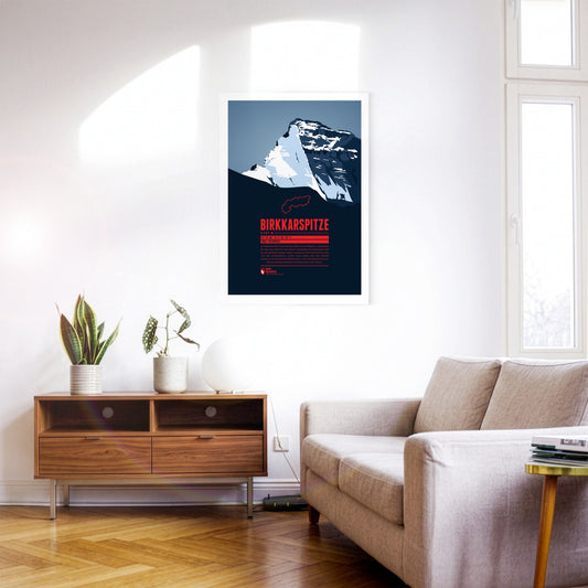
The Birkkarspitze is the highest mountain in the Karwendel. Together with the three Ödkarspitzen peaks west of the summit, it forms an impressive massif. The Karwendeltal runs to the north of the Birkkarspitze. Its length and gentle gradient make it ideal for mountain biking, and long ski tours with an impressive panorama are popular there too.
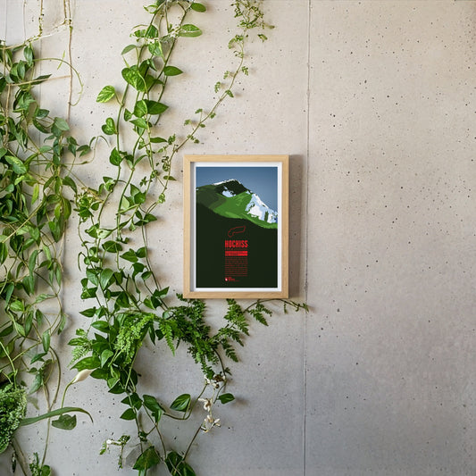
The Hochiss is the highest summit of the Brandenberg Alps and lies on the main crest of the small Rofan group, a subgroup of the Brandenberg Alps in Tyrol east of the Achensee. The name Hochiss derives from the dialect word ‘Iss(e)’, meaning a pasture or a high alpine grazing ground.
The Riedberger Horn is a striking grassy mountain in the Allgäu and the highest summit of the Hörner group north-west of Oberstdorf. The top is easy to reach and offers a beautiful view of the Allgäu High Alps with the Hochvogel and the Großer Krottenkopf. The area around the Riedberger Horn is considered ideal walking country for families and for people without previous experience; only the route over the north-east ridge is a little more challenging.
The Rheinwaldhorn is the highest mountain of the Adula Alps. In Italian it is called Adula, a name that already appeared on historical maps of the Roman Empire. Other names for the mountain were Rheinwaldspitze, Schneehorn, Adulahorn and Moschelhorn. The Rheinwaldhorn is dominated by several glaciers that shape its flat summit plateau. The Hinterrhein, one of the two headwaters of the Rhine, rises on its flanks.
The Monte Baldo forms a ridge 30 kilometres long that rises above the eastern shore of Lake Garda and drops away on the other side into the Adige valley in the province of Trento. The highest point of the ridge is the Cima Valdritta. The mountain is very well developed and therefore easy to climb. During the ice ages the summit of Monte Baldo stood above the glaciers, which preserved a unique flora here that survives nowhere else.
The Monte Pelmo is a mighty, free-standing dome of rock and one of the highest summits in the Dolomites, rising impressively out of the surrounding valleys. From the north-west it gives the impression of a gigantic armchair: the summit block in the middle, with the Monte Pelmetto and the north-west ridge as armrests. That is why the Pelmo is also called ‘God’s armchair’.
Piz Linard is the highest summit of the Silvretta group and is often named as one of the most beautifully shaped mountains in the Alps. It forms a symmetrical summit pyramid and looks striking from every direction. Piz Linard towers up to 2000 metres above its surroundings and is therefore visible from afar. Seen from Zernez in the Lower Engadin, it forms an impressive head of the valley and is often described as the landmark of the Lower Engadin.
The Vanil Noir is the highest mountain of the Fribourg Alps. It lies on the border of the Swiss cantons of Fribourg and Vaud, about 20 kilometres east of Montreux and Lake Geneva. A nature reserve has existed on the Vanil Noir since 1983, notable for its many rare plants and its abundant wildlife. Among other things, 73 species of butterfly and the asp viper can be admired here, and flowers such as alpine betony and dragonhead grow on its slopes.
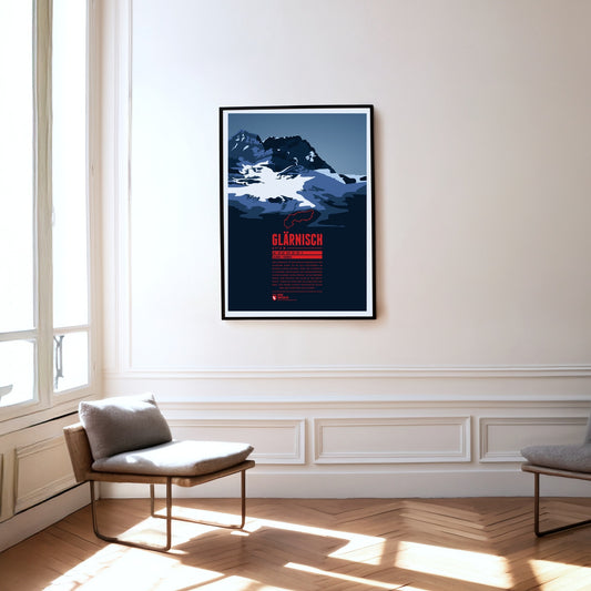
The Glärnisch is the highest massif of the Schwyz Alps. As it lies entirely within the canton of Glarus, other classifications of the mountain groups count the Glärnisch among the Glarus Alps. It has several summits, the highest of them the Bächistock. Thanks to its height and position, the mountain offers fantastic views over north-eastern Switzerland from its peaks.
The Mont Pelvoux is a broad, massive mountain block in the east of the Écrins massif in the French Western Alps. The ascent is demanding: from the Refuge du Pelvoux on the southern slope, the normal route follows an ice gully that grows ever steeper. Once the plateau with the Glacier du Pelvoux is reached, the various peaks can be climbed comparatively easily.
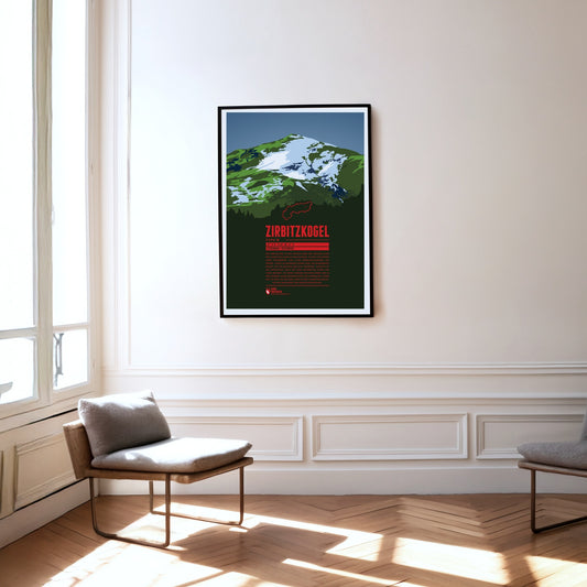
The Zirbitzkogel is the highest mountain of the Seetal Alps and very well developed for visitors, with plenty of huts and accommodation. Walking paths lead up from every direction, passing several small lakes and shortening the ascents considerably. The Zirbitzkogel is also known for its rich fauna and flora: Swiss stone pines grow on its slopes, and at higher altitudes spignel and alpenroses thrive. Very rare species of butterfly and breeding grounds of the Eurasian dotterel are found around the mountain too.
The Mittagskogel (Slovenian: Kepa) is one of the highest mountains in the western Karawanks. The rock pyramid on the border between Carinthia and Slovenia belongs to the main crest of the western Karawanks. Its flattened summit gives the Mittagskogel an almost volcanic appearance. Names such as Mittagskogel, Mittagsgipfel, Mittagsberg or Zwölferberg are common in the Alps: they denote a mountain standing south of a larger settlement, pointing at the sun like the hand of a clock at twelve.
The Kreuzjoch is the highest mountain of the Kitzbühel Alps and at the same time their south-western cornerstone. The Zillertal begins west of the mountain, the Gerlostal to the south-east. The summit is easy to climb: cable cars run up the mountain from both Gerlos and Zell am Ziller, though not quite to the top.
The Weißseespitze is a mountain in the Weißkamm of the Ötztal Alps on the border between Tyrol and South Tyrol. It lies east of Lake Reschen at the end of the Langtaufers valley (Italian: Vallelunga). The border between Austria and Italy runs across the summit. In Italian the mountain is known as ‘Cima del Lago Bianco’ – a literal translation of the German name.
The Weißkugel is the third-highest mountain in Austria. Its position directly on the main Alpine crest also makes it the highest summit on the Austrian-Italian border. Four summit ridges meet on the Weißkugel, with glaciers between them. One of them, the Hintereisferner, has been studied scientifically for more than 100 years – one of the longest continuous time series in glacier research.
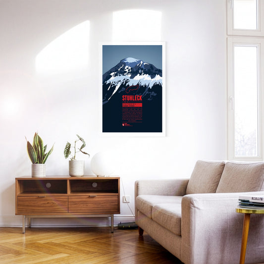
The Stuhleck is the highest summit of the Fischbach Alps and very well developed. That led to pronounced tourism in every season as early as the late 19th century. In February 1892 the pioneers Toni Schruf, Max Kleinoscheg and Walther Wenderich climbed to the summit on skis from Mürzzuschlag – one of the first ski ascents of an Alpine mountain.
The Reisalpe is the highest mountain of the Gutenstein Alps. There is rock only on the south-west and north sides; otherwise the mountain is almost entirely covered by forest, meadows and grazed alpine pastures. The crumbling Hirschenmauer in the south-west drops away from the pasture land and forms a large scree slope, where there is a danger of falling and of rockfall. The Hirschenmauer probably gave the mountain its name: the friable rock ‘trickles’ – rieselt – from the alp down into the valley.
The Königspitze (Italian: Gran Zebrù) lies south of the Ortler and forms a striking trio with it and the Zebrù. It is only the second-highest mountain in the Ortler Alps, but is often called the most beautiful of them. In the 19th century the mountaineer Julius Meurer described the Königspitze as the ‘most perfectly formed, most distinguished mountain in the whole of the Eastern Alps’.
The Pilatus is a massif of the Emmental Alps west of Lake Lucerne. It consists of a series of summits, the highest of them the Tomlishorn. Besides a cable car, the Pilatus railway also runs to the top; with a maximum gradient of 48 %, it is considered the steepest rack railway in the world.
The Mont Aiguille is a striking mountain of the Northern Dauphiné Limestone Alps in the Isère region. Like the famous mesas of Monument Valley in Utah, its summit rises steeply out of its surroundings. It is the remnant of a former plateau that was worn away around the mountains by erosion and the grinding of former glaciers. Set apart from the main crest of the Massif du Vercors, the Mont Aiguille is visible from far away despite its comparatively modest height.
The Schreckhorn is the northernmost four-thousand-metre peak in Europe. The mighty rock spike rises steeply south of Grindelwald. Together with the Lauteraarhorn, only marginally lower, the Schreckhorn forms an imposing twin summit. It is often described as the most difficult four-thousand-metre peak in the Alps to climb. The mountain is an insider tip for experienced mountaineers, as its out-of-the-way position keeps it fairly empty.
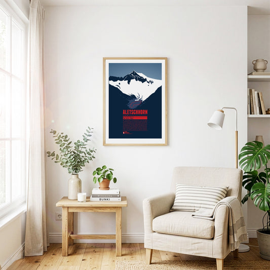
The Aletschhorn is the second-highest summit of the Bernese Alps and is often described as the coldest mountain in the Alps, as it is particularly exposed to cold winds. From the top there is a breathtaking view of the surrounding three- and four-thousand-metre peaks of the Bernese and Valais Alps. Around the Aletschhorn lie the Aletsch Glaciers, which were once connected. The Great Aletsch Glacier is the largest glacier in the entire Alpine region.
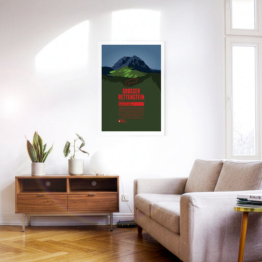
The Großer Rettenstein is the most striking summit of the Kitzbühel Alps. Its rocky summit pyramid is an imposing sight, rising a good 400 metres above the surrounding grassy mountains. It is also called the ‘Kitzbühel Matterhorn’, even though it is barely half as high and bears a certain resemblance to its famous Swiss namesake only when seen from the north.
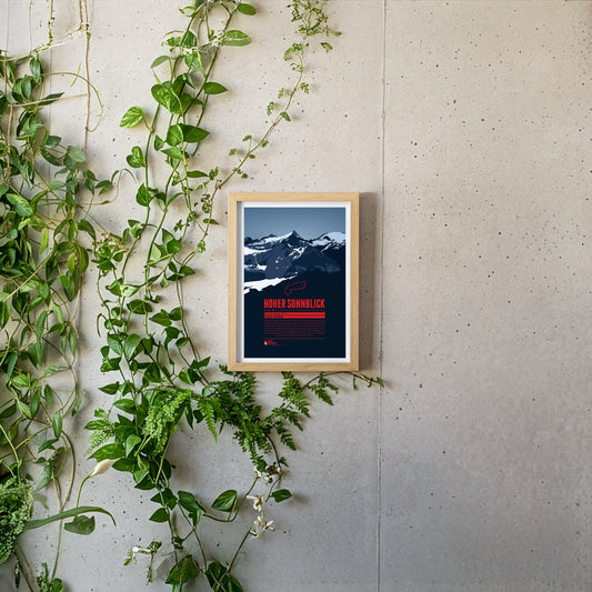
The Hoher Sonnblick is the highest mountain of the Goldberg group in the Hohe Tauern. The group’s name goes back to the gold-mining history of the region. The gold extracted from the 13th to the early 19th century was one of the foundations of the wealth of the Archbishopric of Salzburg. In more recent times the Sonnblick has suffered badly from climate change: the glaciers are melting and the permafrost is thawing. In 2003 the summit was stabilised with shotcrete and rock anchors.
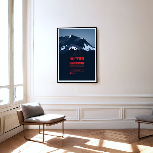
The Hohe Warte (Italian: Monte Coglians) lies on the border between Carinthia and Friuli-Venezia Giulia in Italy. It is the highest point of the Carnic Alps and forms an impressive massif together with its neighbouring peaks Kellerspitzen, Kellerwarte, Seewarte and Kollinkofel. The summit is best reached from the Italian side via the Rifugio Marinelli.
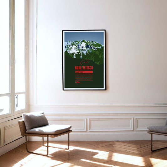
The Hohe Veitsch, the highest summit of the Mürzsteg Alps in Styria, lies east of the Mürz valley and west of the Aflenzer Seeberg and the Rax. It is a whole massif, its elongated plateau running from west to east. There is no mountain railway here, but the way to the summit is – given a little stamina – quite straightforward.
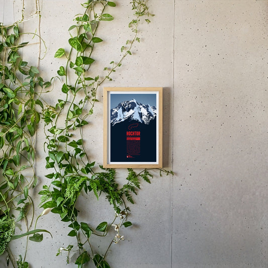
Hochtor is the highest mountain of the Ennstal Alps in Styria. From the banks of the Enns on the edge of the Gesäuse National Park, the Hochtor towers up almost like a Dolomite peak. Anyone wanting to reach the summit via the 900-metre north-west face should be a competent climber. The normal route from the Johnsbach valley to the south is not entirely easy either and requires a head for heights and climbing skills.
The Hochschwab is the highest mountain of the Hochschwab group in Styria, east of the Gesäuse national park. The Hochschwab group is a largely bare, karstified plateau range. The plateau drops away to the south in a steep wall about 300 metres high and two kilometres wide. The caves running through the massif are typical of a karst range as well.
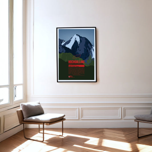
The Hochgolling is the highest mountain in the Schladming Tauern and in the Niedere Tauern as a whole. The massive rock pyramid with its striking, steeply falling ridges rises above the Untertal and the Lesachtal, stretching from the state of Salzburg in the west across into Styria in the east. The eye-catcher of this mountain of dark rock, steep on every side, is its north face of around 1000 metres.
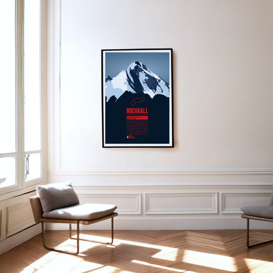
The Hochgall, or Collalto, is a border mountain between Austria and Italy and the highest summit of the Rieserferner group – a stately, trapezoidal block with a striking summit ridge. The mountain closes the gap between the Hohe Tauern, the Zillertal Alps to the west and the Tauferer valley in South Tyrol. It can therefore be climbed from either Austria or Italy.
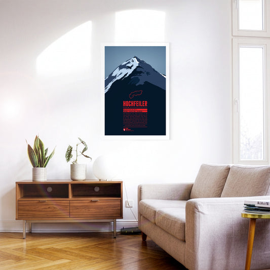
The Hochfeiler (Italian: Gran Pilastro) is the highest mountain in the Zillertal Alps and lies on the border between Austria and Italy. It has two very different sides. From the Schlegeis reservoir the eye falls on an icy, forbidding north face. Anyone approaching from the south-west out of the Pfitsch valley, by contrast, sees the flanks of the Hochfeiler running comparatively gently down towards the valley.
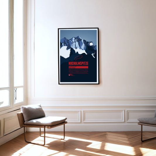
The Hochalmspitze is the highest point of the Ankogel group. While the Großglockner is often called the king of the Tauern, the Hochalmspitze – helped by its feminine article in German – is known as the princess of the Tauern. That suits her white glacier gown, which surrounds her below her long ridges.
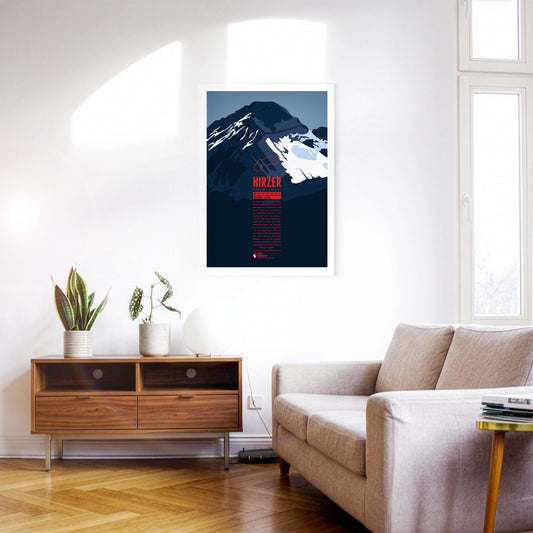
North-east of Merano, the Hirzer rises as the highest summit of the Sarntal Alps, more than 2000 metres above the Passeier valley. This tourist region is well developed, which also makes the ascent of the Hirzer comparatively easy. The Hirzer cable car carries its passengers to an altitude of 1980 metres, and from the top station the normal route leads past the Hirzer hut to the summit. Around the Hirzer run the Waalwege typical of South Tyrol – irrigation channel paths once built to water the apple orchards.
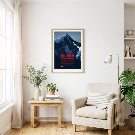
The Großer Priel is the highest point of the Totes Gebirge. The summit lies in the north-eastern, Upper Austrian part of the range. Its position on the edge makes the mountain visible from far across the Alpine foreland to the north and east, for example from the state capital Linz some 60 kilometres away. A summit cross about eight metres high was erected on the Großer Priel in 1870. In 2009, a year after a severe thunderstorm badly damaged the cross, a replica was put up on the mountain.
Regular price
from 19 €
Regular priceSale price
from 19 €
Books, maps and more.
About the Alps and the world.