Norderney was the first German seaside resort on the North Sea, as the historic spa buildings still testify today. In the west there are plenty of pubs and bars, in the east – solitary nature.
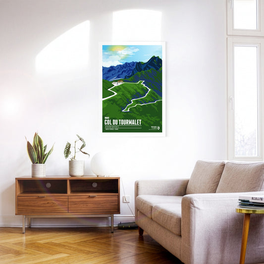
The Col du Tourmalet is a French Pyrenean pass in the south-west of the Hautes-Pyrénées department. It owes its fame above all to cycling: no other mountain pass has been ridden more often in the history of the Tour de France. The Tourmalet was already on the programme in 1910, when the Tour first went into the Pyrenees. Octave Lapize, who reached the top first and went on to win the 1910 general classification, is said to have hurled the indignant cry "Vous êtes des assassins!" ("You are murderers!") at the race organisers. The Vuelta a España has also climbed the Tourmalet several times.
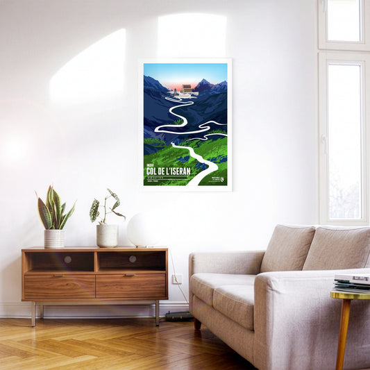
At 2764 metres, the Col de l’Iseran is the highest paved Alpine pass in Europe and one of the most legendary challenges in the French high mountains. It is of great importance for cycling and has been part of the Tour de France several times. Its difficulty comes not only from the amount of climbing and the length of the ascent but also from the thin air and the often extreme weather conditions. Even in high summer, cold and storms can dominate the pass – in 2019 the Tour de France even had to be abandoned here because of snow and landslides.
The Timmelsjoch, also called the Timmel, is a 2474-metre border pass between Austria and Italy that separates the Ötztal Alps from the Stubai Alps and connects the Ötztal with the Passeier valley. The pass, whose name derives from the Romansh word "tömbl" for hill, has been used since the earliest times and was an important trade route, including for the Fugger and Welser merchant families. The border between Italy and Austria has run across the pass since 1920, and in 2010 the Timmelsjoch Museum opened – built exactly on the border and highlighting the history and significance of the pass.
The Maloja Pass is an impressive mountain pass in the Swiss Alps at an altitude of 1812 metres. It connects the Engadin in the canton of Grisons with the Italian Valtellina and offers breathtaking views of the surrounding mountain landscape. The Maloja Pass is not only an important transport link but also a popular destination for tourists wanting to explore the beauty of the Alpine region.
At 2642 m, the Col du Galibier is the fifth-highest paved road pass in the Alps. This pass in the Western Alps is one of the absolute classics on the Tour de France programme, and it has a great deal to offer scenically as well. Much of the route runs through high Alpine terrain resembling a lunar landscape. The Galibier also forms a climatic boundary between the wetter northern Alpine climate and the dry Mediterranean climate on its southern side.
Alpe d'Huez is a winter sports resort in the French Alps, internationally known as a summit finish of the Tour de France.Alpe d'Huez – these are probably the 21 most famous hairpin bends in the world. The winding climb up to the French resort is also called the "Woodstock of cycling". When the Tour de France stops here, hundreds of thousands make the pilgrimage to the roadside and throw one big party.
Mont Ventoux is a 1909-metre massif in the French Provence. Also known as the "Giant of Provence", it holds great significance for cycling. Although the mountain is considerably lower than the best-known Alpine passes, it is comparable in difficulty – not only because of the many vertical metres, but often also because of the heat of Provence and a merciless headwind over the final kilometres.
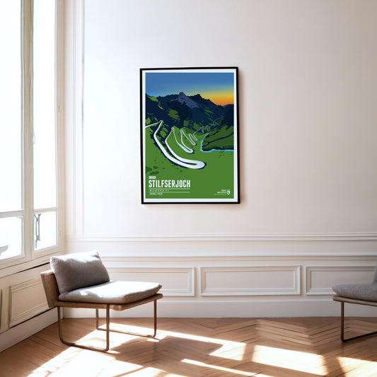
Das Stilfser Joch gilt als „die Königin der Passstraßen“ und ist der Übergang zwischen Südtirol und der Lombardei.Mit einer Passhöhe von 2757 Metern ist das Stilfser Joch der höchste Gebirgspass in Italien sowie die dritthöchste Passstraße der Alpen.
Framed by Sass Pordoi and Sass Becé, the Passo Pordoi lies in the heart of the Dolomites and separates the Italian provinces of Trento and Belluno. Built at the beginning of the 20th century as one of the highest paved mountain passes in the Dolomites in order to connect Bolzano with Cortina d'Ampezzo, the pass is above all a popular destination today. In summer the Passo Pordoi is a starting point for hikes, climbs and mountain tours, while in winter the slopes of the Belvedere and Arabba ski areas can be reached from here.
On the Großglockner High Alpine Road, the saying “the journey is the destination” is to be taken literally. The road is far more than an ordinary car link between the Austrian federal states of Salzburg and Carinthia; it is also a tourist attraction and a natural spectacle. Following its course takes you through the Hohe Tauern National Park in the middle of the high Alps, with sections at altitudes of up to 2500 metres. In the spring and summer months there is also a good chance of spotting Alpine marmots, which are numerous in the area.
The car-free island is nowhere wider than 900 metres, so the sea is never far away and its surf is always audible. On Juist, horse-drawn carriages carry people and goods.
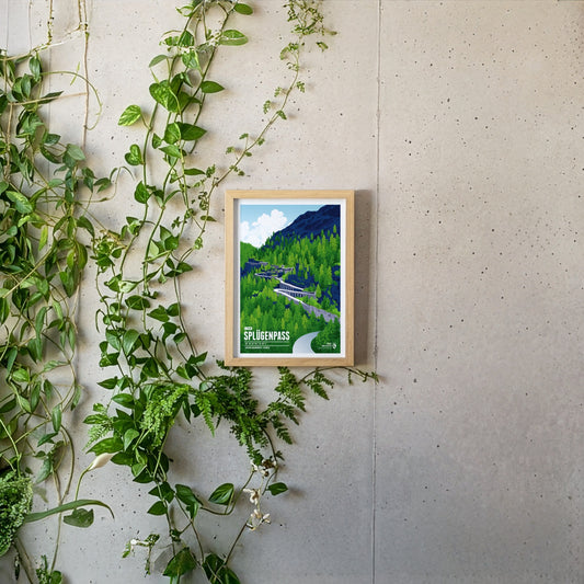
The Splügen Pass connects Switzerland with Italy and impresses with its many tight hairpin bends, historic tunnels and protective stone galleries that cling spectacularly to the rock. The winding pass road is particularly thrilling, turned into an unforgettable experience by these unique structures and the imposing Alpine landscape.
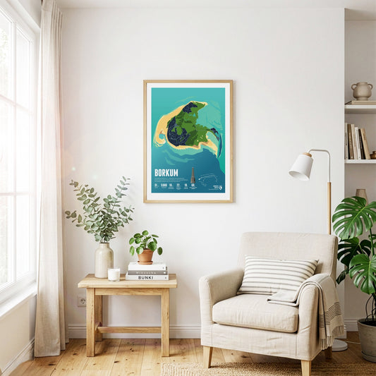
Seaside tourism flourished on Borkum in the 19th century. Historic buildings along the beach promenade still bear witness to it today. The Borkum narrow-gauge railway picks up visitors at the harbour.
The Julier Pass is a significant mountain pass located in the Swiss Alps, reaching an elevation of 2284 meters. It connects the Engadin valley in the canton of Graubünden with the rest of Switzerland and offers stunning vistas of the surrounding peaks. With its rich history as an ancient trade route and its modern importance as a major roadway, the Julier Pass attracts both travelers and outdoor enthusiasts alike.
The car-free island of Schiermonnikoog (Literally translated: Islandof the Gray Monks) belonged to a Frisian monastery in the Middle Ages. The nature of the island has been protected as a national park since 1989.
Half of the quiet and car-free island of Vlieland consists of a vast expanse of sand called the "Sahara of the North." The only village on the island is home to many historical buildings.
The largest Frisian island is particularly popular with tourists. Texel's beach is 30 kilometers long, with the busiest seaside resort of De Koog. Countless sheep graze on the island's pastures.
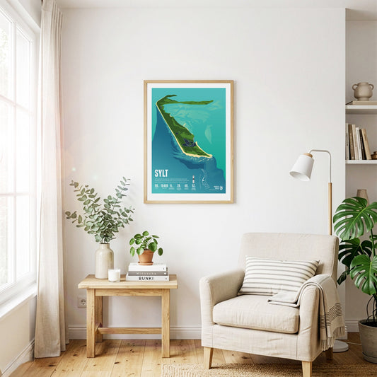
The beach on the largest and most popular German North Sea island among tourists is 40 kilometers long. It is considered a travel destination for the rich and famous. A railway embankment connects Sylt with the mainland.
Piz Medel is a peak in the Adula Alps, a part of the Lepontine Alps on the border between the Swiss cantons of Graubünden and Ticino. West of the summit is the Greina, an important Alpine pass between the two cantons, which was already used in ancient times. A number of huts are situated around the summit as starting points for tours around the mountain, among them the Medel Hut. As many other mountains in the area the Piz Medel is a worthwile destination for ski mountaineering.
The Piz Ault lies south of the Oberalpstock. Both mountains rise above the Vorderrhein valley and the town of Disentis. The ski lifts of the ski resort Disentis 3000 go up as high as 2800 meters, just below the summit of the Piz Ault. A popular stop in the summer and the winter is the hut of the Swiss Alpine Club Camona da Cavardiras west of the mountain, on the other side of the Brunni Glacier.
Pierra Menta is situated east of Albertville in the Beaufort region. The rougly 2700 meter high rock peak fascinates hikers and climbers alike, due to its characteristic shape. Pierra Menta is most of all known for the legendary skimountaineering race, which is named after the mountain and taking place in the area each year. It is one of the three most important races in the Alps in this sport.
Visible from far away, the Ötscher rises to a height of 1893 meters in the Ybbstal Alps, in the east of the Northern Limestone Alps. The Ötscher appears especially impressive when viewed from the north or south, when you can see the mountain massif in its full extension. The name of the mountain goes back to Slavic inhabitants, living in the area in the 9th century, who called the mountain “Othza” (father mountain). All year round Ötscher is a popular destination for hikers and climbers. The ski area Lackenhof is situated north west of the summit.
The Oberalpstock is one of the highest mountains in the Glarus Alps and rises between the northern Maderranertal in the canton of Uri and Surselva, the Vorderrhein valley in Graubünden in the South. Among the major characteristics of the mountain are its four ridges which meet close to the summit. The first ascent of the Oberalpstock was accomlished from the south eastern side, which is still the normal route today. Apart from hikers and climbers the mountain is also a popular destination for ski mountaineering.
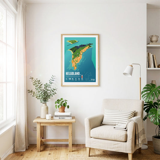
Helgoland is almost 50 kilometers away from the mainland. In its history, the small island often changed state affiliation. It is famous for its red rocks where seabirds breed.
The Lugauer rises far over 1000 meters west of the Radmer valley. The distinctive double summits western slope is not as steep and especially popular among many of the skiriders which visit the mountain each year. The great panorama from the summit is reflected in the name of the mountain. “Lug auer” in the local dialect can be translated as “look down”.
Les Diablerets (The Abode of Devils) lie on the border of the Swiss cantons of Valais and Vaud. The highest summit of the group, the Sommet des Diablerets, is also the high point of Vaud. Among the other major peaks of the group are the Oldenhorn, where the border of the third canton of Bern meets the other two, and the almost 3000 meter high Sex Rouge. The latter can be accessed via an aerial lift since the 1960s, which becomes part of the ski resort Glacier 3000 during the winter season.
The Lagginhorn is the second four-thousander in the Weissmies Group in Valais, close to the Italian border. It is also the lowest four-thousander in Switzerland. The ascent of the Lagginhorn is considered to be only slightly more difficult than that of the neighbouring Weissmies, which is only 7 metres higher. The popular normal route to the summit, which was already chosen for the first succesful ascent in 1856, starts in Saas-Grund in the valley and goes via the Weissmieshütte in about 2700 metres.
Situated nearby the four-thousanders of the Pennine Alps, the Jegihorn appears rather small. However the peak is a popular destination for climbers. The rope bridge on the via ferrata Jägihorn is particularly famous and opened from June to October. From the top of the Jegihorn a breath-taking panorama offers views of the neighbour summits of the Mischabel Group, the Bernese Alps, and the Rhône Valley.
In the east of Val Badia the summits of Sas dla Crusc rise into the sky. For Alpinists the mountain offers a broad range from easy to the most difficult routes. West of the summit the chapel Santuario di Santa Croce and the mountain refuge Hospiz dla Crusc are situated, which were both named after the mountain. The Sas dla Crusc is mentioned much earlier, for instance in the Ladin legend of the Kingdom of Fanes.
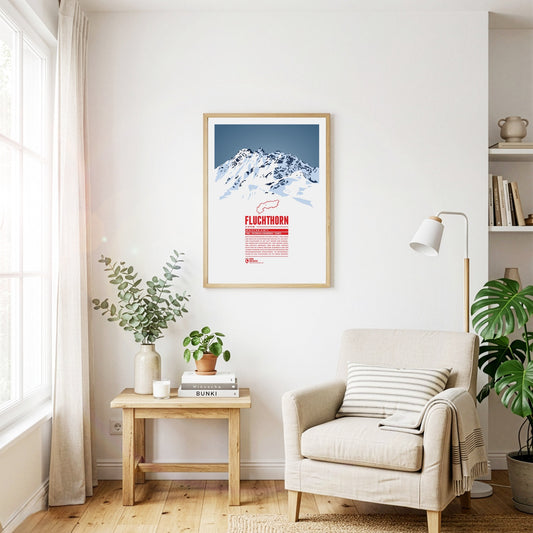
The Fluchthorn has three major peaks, of which the southern summit, Südliches Fluchthorn, was the highest at 3399 meters for a long time. However, after a massive rockfall on the southern summit in June 2023, which tore the summit cross with it, the middle peak, Mittleres Fluchthorn, has become the highest point of the mountain. Not only does the border between Austria and Switzerland run across the Fluchthorn peaks, but also the border between the German and Romansh language areas. In Romansh, the Fluchthorn is known as Piz Fenga.
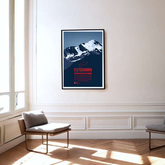
At the beginning of the 20th century the Fletschhorn was regarded as a four-thousander in the Alps. Due to the melting glaciers on the summit the elevation was updated to 3993 metres in the 1950s and 3985 metres in 2012. The Fletschhorn is the northernmost of the three great summits of the Weissmies Group. The Fletschjoch canyon separates it from the Lagginhorn in the south.
The Fichtelberg is the highest mountain of the German state of Saxony and the high point on the German side of the Ore Mountains. The highest mountain of the entire range, the Klínovec in Czech, is close-by in a distance of only three and a half kilometres. The largest ski resorts of the Ore Mountains are situated around both mountains. In combination they form the most important centre for winter sports in the area.
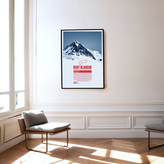
The southern neighbour Matterhorn steals a lot of the attention but the pyramid-shaped summit of Dent Blanche is most fascinating nonetheless. From here four ridges run almost perfectly towards the four cardinal points. The first documented ascent of Dent Blanche was accomplished in 1862, three years before the first ascent of the Matterhorn. The chosen route at the time from the south is still the normal route today. The hut of the Swiss Alpine Club Cabane de la Dent-Blanche is a popular starting point for summit attempts.
Three Swiss cantons border on the top of the Brienzer Rothorn. A cable car from Sörenberg in Lucerne almost reaches the summit from the northern side. In the winter the are is part of the ski resort Sörenberg / Rothorn. The mountain station of the other cable car, going up from Brienz in Bern from the south, is located about 100 meters below the summit. The Brienzer Rothorn is known for the Alpine ibexes which populate its slopes. One might spot the animals when following the route of the “Ibex Trek” starting at Sörenberg.
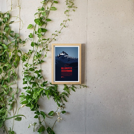
The Ballunspitze is well-known among the visitors of the ski resort Galtür, which is situated in Tyrol on the northern slopes of the mountain, near the town of Wirl. The chairlift Ballunspitzbahn gets you up to 2200 meters. West of the ski area, in Vorarlberg, the Kops water reservoir can be found, which was constructed in the 1960s. South of the Ballunspitze the Threethousanders of the Silvretta Alps dominate the view.