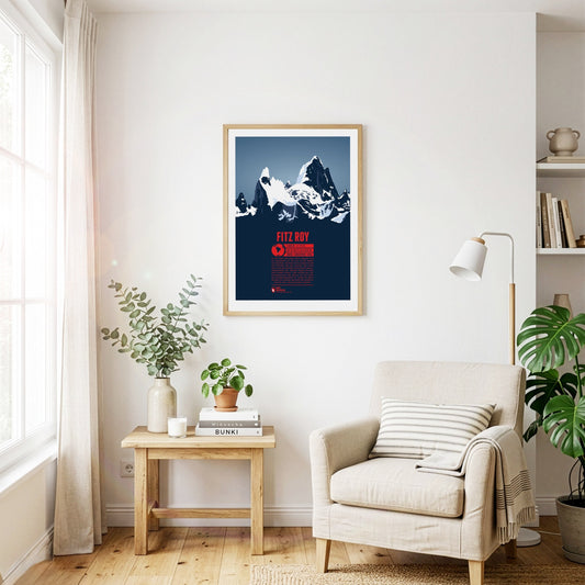
The majestic rock needles of Fitz Roy, reach heights of more than 3400 meters and rise into the sky of Patagonia. Fitz Roy is a dream destination for mountaineers and climbing to the top is a great Alpinistic challenge. The mountain was named after Captain Robert FitzRoy of the science vessel HMS Beagle. Since the mountain top is often surrounded by clouds the Native inhabitants of the area named the mountain El Chaltén - “the smoking one”.
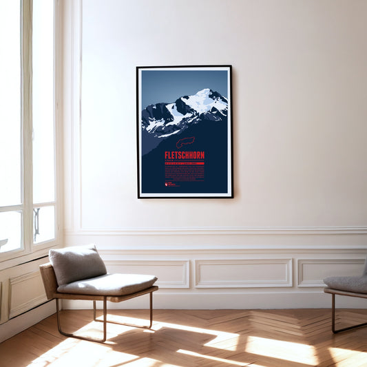
At the beginning of the 20th century the Fletschhorn was regarded as a four-thousander in the Alps. Due to the melting glaciers on the summit the elevation was updated to 3993 metres in the 1950s and 3985 metres in 2012. The Fletschhorn is the northernmost of the three great summits of the Weissmies Group. The Fletschjoch canyon separates it from the Lagginhorn in the south.
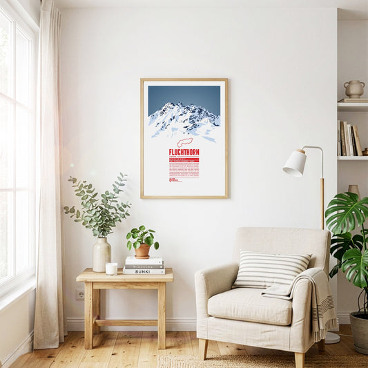
The Fluchthorn has three major peaks, of which the southern summit, Südliches Fluchthorn, was the highest at 3399 meters for a long time. However, after a massive rockfall on the southern summit in June 2023, which tore the summit cross with it, the middle peak, Mittleres Fluchthorn, has become the highest point of the mountain. Not only does the border between Austria and Switzerland run across the Fluchthorn peaks, but also the border between the German and Romansh language areas. In Romansh, the Fluchthorn is known as Piz Fenga.
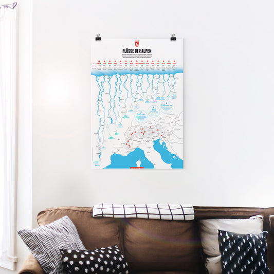
Some of Central Europe’s most important rivers have their source in the Alps. In this graphic we present the 15 longest rivers in the Alps. The Rhine is the longest Alpine river followed by the Sava, one of the many Danube tributaries in the Alps and the longest river in Slovenia. The third longest Alpine river is the Rhone, which while not the longest in France does have the largest volume of water of all French rivers.
The landscape on Föhr is flat and characterized by meadows and agricultural areas. In addition to the main town of Wyk, there are many small, picturesque villages. The beaches are narrow but very popular for swimming.
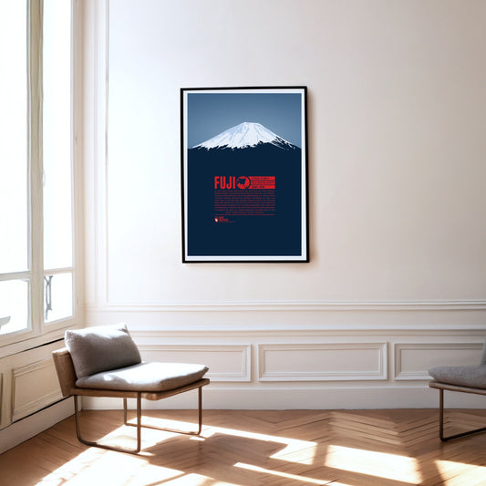
There is hardly another mountain on earth with such cultural significance as Mount Fuji. From ancient to modern times Fuji-san has almost been worshiped like a god in Japan. Together with Tate and Haku it is one of the Three Holy Mountains of Japan. The country's highest summit is still an active volcano, even though there is only a low chance of an eruption. The first recorded summit ascent was achieved by an unknown monk in 663. Women were only allowed access to the mountain in the 1860s.
The Furgler, just over 3000 m high, is part of the Samnaun Alps in Tyrol, Austria. It is one of the most visited mountains of the region. The lifts of the nearby ski resort Serfaus-Fiss-Ladis are often used when attempting to climb to the summit. The Furgler is also a popular destination among ski mountaineers.
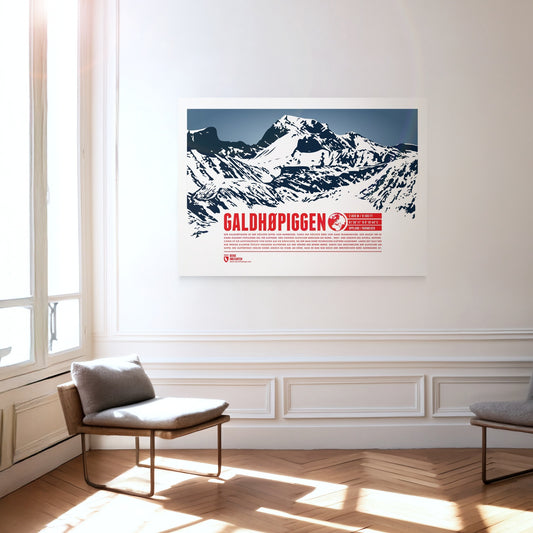
Galdhøpiggen is the highest summit in Norway and the highest mountain in all of Scandinavia, which makes it an extremely popular destination for climbers. Three larger glaciers cover the northern, western and southern sides of the summit, so the ascent route from the east is the easiest and requires no technical climbing. For a long time Glittertind, only a few kilometres to the east, was considered the higher of the two mountains. Melting glaciers at Glittertind’s summit have cost it so much height, however, that it is now only Norway’s second-highest mountain.
Gamsfeld is the highest mountain and the only two-thousander in the Salzkammergut Mountains. The slopes of Gamsfeld below the dome-shaped summit drop steeply in all directions, making ascents somewhat demanding. The efforts are rewarded with a breathtaking view of the noticeable higher mountains of the Dachstein massif in the south and the lakes of the Salzkammergut in the north. Gamsfeld is also known for the lush Alpine flora on its slopes. Alpine roses can form dense carpets of flowers during their bloom.
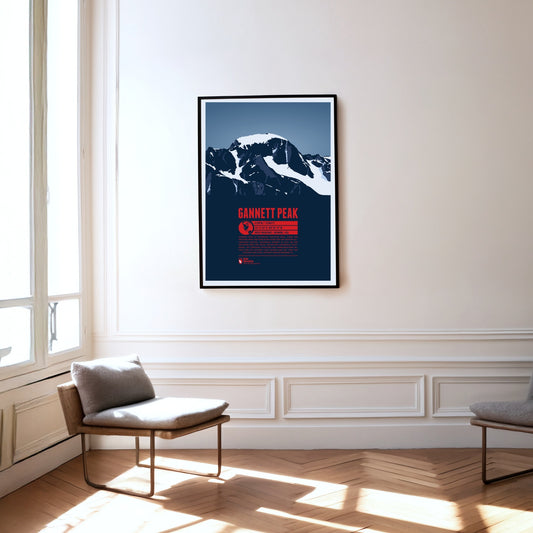
Gannett Peak is the highest mountain in Wyoming and the highest peak of the Wind River Range and the Greater Yellowstone Rockies. It is also the highest summit of the Rocky Mountains outside of Colorado. The largest glaciers in the American Rocky Mountains and the remote location of the mountain make it quite difficult to climb.
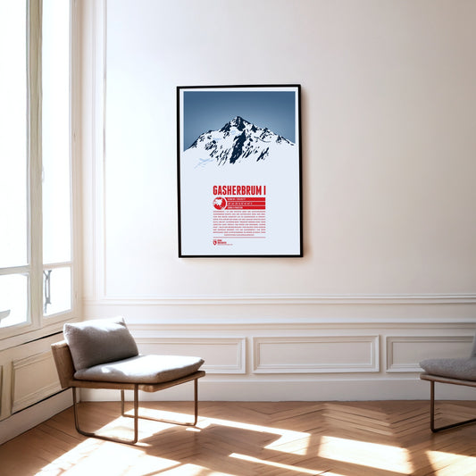
Gasherbrum I is the highest mountain of the Gasherbrum group of the same name and the eleventh-highest mountain on Earth. Initially recorded by the British as K5 (Karakoram 5), the name from the local Balti language later prevailed; it can be translated as ‘beautiful mountain’. Its remote position also earned it the nickname ‘Hidden Peak’. After the first ascent in 1958, Peter Habeler and Reinhold Messner achieved the first ascent of an eight-thousand-metre peak in pure Alpine style without supplementary bottled oxygen on Gasherbrum I in 1975.
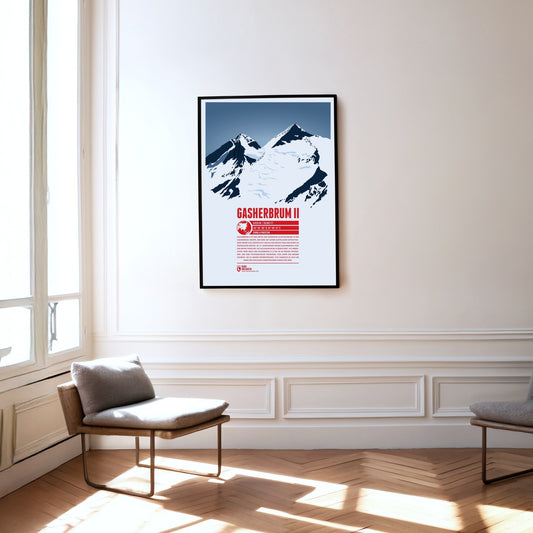
Gasherbrum II is the third and lowest eight-thousand-metre peak in the Gasherbrum group. The mountain with its striking summit pyramid rises south-east of K2 and Broad Peak, placing it at the centre of the group. In the 19th century the British initially designated Gasherbrum II as K4 (Karakoram 4). Gasherbrum III (7946 m) to the west, with a topographic prominence of less than 500 metres, is usually regarded as its subsidiary peak. Until its first ascent in 1975 it was one of the highest unclimbed points on Earth.
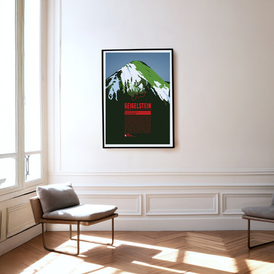
The Geigelstein is the third-highest mountain in the Chiemgau Alps and the highest of its summits to lie entirely in Bavaria. With its summit ridge of a good 100 metres and its sloping flanks, the mountain resembles a pointed roof, especially when seen from the south. Protests against the construction of a larger ski area on the Geigelstein led to a good 300 hectares being placed under nature protection in 1991. Among other things, it is an important breeding ground for peregrine falcons.
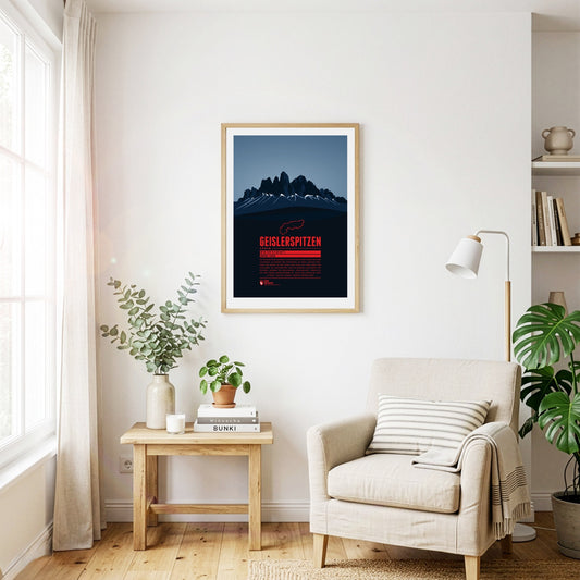
The Geisler group is part of the Dolomites situated between Funes Valley in the north and Val Gardena in the south. The highest peak of the group is Sass Rigais with 3025 m. The Geisler group is a popular destination for climbers. While the German name of the group probably goes back to a person named “Geisler”, the Ladin name “Le Odles” can be translated as “needles”.
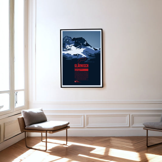
The Glärnisch is the highest massif of the Schwyz Alps. As it lies entirely within the canton of Glarus, other classifications of the mountain groups count the Glärnisch among the Glarus Alps. It has several summits, the highest of them the Bächistock. Thanks to its height and position, the mountain offers fantastic views over north-eastern Switzerland from its peaks.
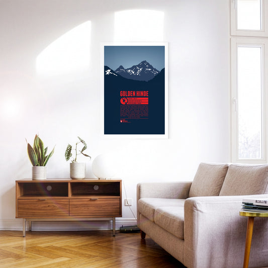
The Golden Hinde is the highest point on Vancouver Island, located very close to the island's geographical center. Clearly visible from the west coast, it was named after the ship used by Sir Francis Drake, who was the first British to sail around the world in the 16th century. Early alpinists called the mountain “The Rooster's Comb”, due to its apperance, before it got its official name in 1938.
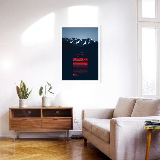
The Gosaukamm is a small mountain massif in the Austrian Dachstein Mountains. The border between the Austrian states of Salzburg and Upper Austria runs along the rough mountain ridge. The Gosaukamm is a popular destination for extreme skiers in the winter due to its steep slopes. Since the danger of avalanches is quite high though, it is recommended only for skilled skiers familiar with the area.
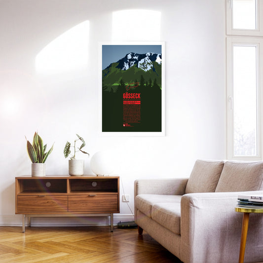
The Gößeck is the northernmost and highest summit of the Reitingstock in Styria. It is also the highest point of the Eisenerz Alps, the southern part of the Ennstal Alps. In spring the overgrown slopes of the Reiting make the massif one of the finest flower mountains in Styria: more than 70 species of orchid grow around it. The wildlife is varied too – red deer live here alongside chamois and ibex.
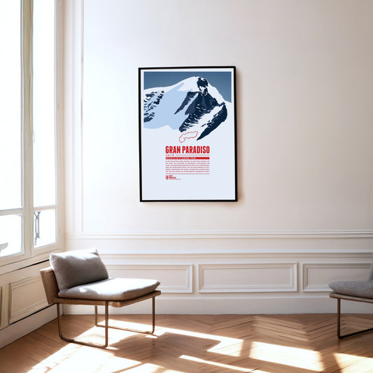
Situated in the Graian Alps, the Gran Paradiso is regarded as the Alps' easiest four-thousander to climb. Many mountaineers prepare here for the challenge of climbing the nearby Mont Blanc. The first Italian national park which spreads around Gran Paradiso is named after the mountain. The park was established in 1856 to protect the endangered Alpine ibex.
The Grand Combin mountain massif is part of the Pennine Alps in the southwest of the Swiss canton of Vallais. Its three major peaks belong to the highest in the entire Alps. Large parts of the mountains are glaciated which is why people also call it a “giant ice block”. The ascent is dangerous but rewards climbers with a magnificient view over clear mountain lakes.
Being only the second highest peak in Wyoming after Gannett Peak, Grand Teton is surely the more famous mountain in the state, as well as one of its best-known landmarks. It is also one of the prime destinations for climbers in the Rocky Mountains. Grand Teton is the highest point in the Teton Range, the geologically youngest Rocky Mountains subrange, with a number of peaks rising up dramatically about 5000 to 7000 feet (1500 - 2100 m) on the eastern side, making it one of the most iconic mountain ranges of the Rockies. The name goes back to French trappers who named the three Tetons, Grand, Middle, and South in the 19th century. The native American name of the Shoshone tribe can be translated with “Hoary Headed Fathers.”
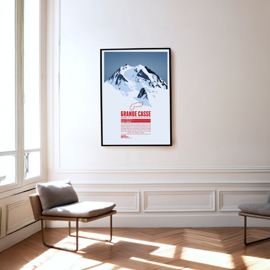
Situated in the centre of Vanoise National Park the Grande Casse plays a crucial part in the protection of the Alpine fauna. Founded in 1963 the national park was supposed to protect endagered species as the Alpine ibex, the number of which climbed back up to 2500. Around the national park there are some of the largest ski resorts in the Alps as “Les 3 Vallées” or “Tignes/Val-d'Isère”.
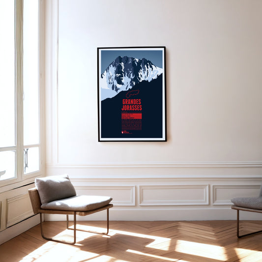
The summits of the Grandes Jorasses are part of the Mont Blanc massif on the French-Italian border. The highgest peak is Pointe Walker. Besides Eiger and Matterhorn, the Grandes Jorasses' north face is known as one of the greatest challenges for climbers in the Alps.
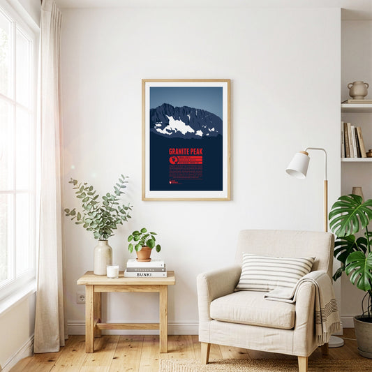
Granite Peak is the highest point in Montana and in the Beartooth Mountains. Of all the ascents of the US state high points Granite Peak is considered to be one of the most difficult. It was also the last of the state high points to be climbed. The first ascent took place only in 1923. While it is possible, to reach the summit in one day, most mountaineers choose to make the ascent in a two day tour.
The highest mountain of Liechtenstein is part of the Rätikon range and a popular destination for Liechtenstein's sportive inhabitants. The rhine flows seven kilometers west of the summit and takes up the mountain's water. A few kilometers to the north you can find Liechtenstein's only ski resort “Malbun/Sareis”.
Like a boulder tossed aside, the Grimming stands isolated to the east of the Dachstein, and its imposing appearance makes it one of the attractions of Styria. It consists mainly of Dachstein limestone and is a popular destination for climbers. Because of its exposed position, the Grimming played an important role in the surveying of Austria: a wooden survey marker was placed on the summit as early as 1822.
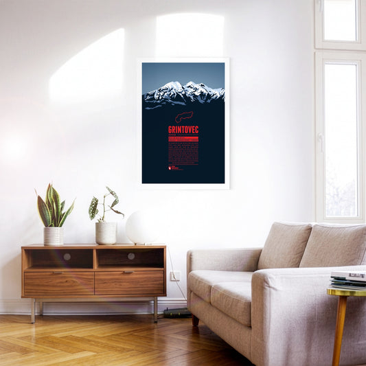
Grintovec is the highest peak of the Kamnik–Savinja Alps. While it is assumed that farmers, herdsmen or hunters from the area were the first to reach the summit of Grintovec the first documented ascent was achieved by the botanist Giovanni Antonio Scopoli om 1759. The mountain top offers a panorama view of the Kamnik–Savinja Alps and when weather conditions are good to the south one can even spot the Adriatic Sea.
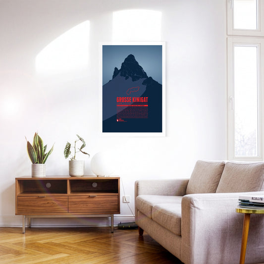
Große Kinigat or Monte Cavallino, lying on the border between East Tyrol and the Italian Province of Belluno, was supposed to be sold in 2011. After heavy protests the Austrian government abandoned these plans. The mountain is easy to climb and offers a great panoramic view up to Großvenediger and Großglockner, one of the highlights on the Carnic High Elevation Trail which follows the border between Italy and Austria over 155 kilometres.
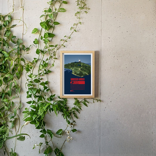
The Großer Arber or Great Arber is also known as the "King of the Bavarian Forest", since it is the high point of the mountain range. The mountain is surrounded by nature reserves and two lakes, close to the Czech border. Hiking trails and ski slopes make the Großer Arber an attractive tourist destination. On a clear day the view from the summit reaches as far as to the Alps. Next to the Aber chapel, which is just below the summit, two air force radar stations can be found, as relics of the Cold War.
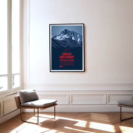
The Großer Krottenkopf is situated in Tyrol, south of the Bavarian town Oberstdorf. It is the highest point of the Hornbach Chain and the highest summit of the entire Allgäu Alps. The normal route to the Krottenkopf leads from the Alpine club hut Kemptner Hütte via the col Krottenkopfscharte, about 300 meters below the summit on the southern ridge of the mountain.
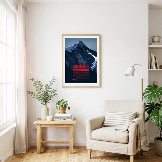
The Großer Priel is the highest point of the Totes Gebirge. The summit lies in the north-eastern, Upper Austrian part of the range. Its position on the edge makes the mountain visible from far across the Alpine foreland to the north and east, for example from the state capital Linz some 60 kilometres away. A summit cross about eight metres high was erected on the Großer Priel in 1870. In 2009, a year after a severe thunderstorm badly damaged the cross, a replica was put up on the mountain.
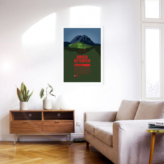
The Großer Rettenstein is the most striking summit of the Kitzbühel Alps. Its rocky summit pyramid is an imposing sight, rising a good 400 metres above the surrounding grassy mountains. It is also called the ‘Kitzbühel Matterhorn’, even though it is barely half as high and bears a certain resemblance to its famous Swiss namesake only when seen from the north.
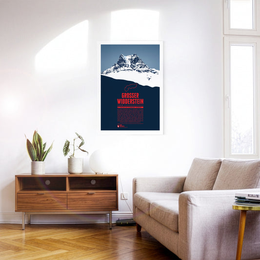
The Großer Widderstein, situated in the Austrian state of Vorarlberg, is part of the Allgäu Alps and the highest peak of the Kleinwalstertal and the Southeastern Walsertal Mountains. When making a summit attempt one might cross the path of ibexes. It is still disputed though whether the name of the mountain refers to a male ship or an ibex, both being called “Widder” in German. South of the mountain lies the municapility of Warth. Its ski area Warth-Schröcken has been connected with the area Ski Arlberg since the winter of 2016 / 2017, thus making it Austria's largest ski resort.
The Großes Wiesbachhorn is often seen as the most beautiful three-thousander and a rival to the Großglockner. Even though the mountain is part of the Glockner Group its upper part is quite isolated and allows for a spectacular view of the Fusch valley 2400 m below. The first ascent of the Northwest Face in 1924 is of major importance for Alpinism since for the first time ice nails were used, which were later further developed into ice screws, still being used today.
Regular price
from 19 €
Regular priceSale price
from 19 €
Books, maps and more.
About the Alps and the world.