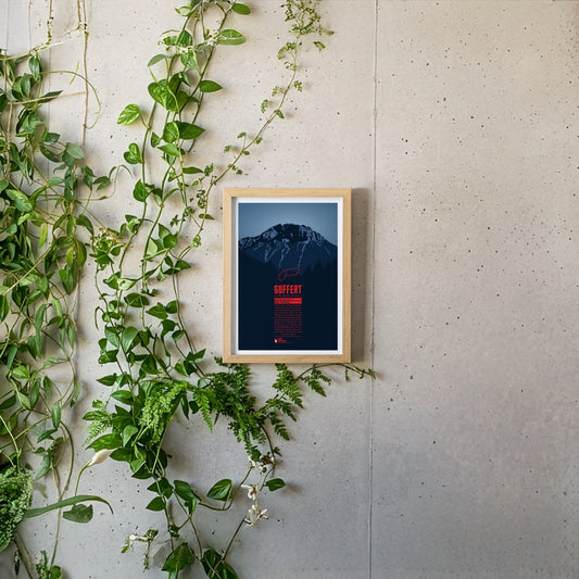
South of the German-Austrian border, the Guffert rises with its rocky twin summit. The free-standing mountain is prominently visible from the Tegernsee. With varied paths and easy climbing sections it is a popular destination for day tours. From the summit plateau a far-reaching view opens up over the Bavarian Prealps, the Wetterstein range, the Karwendel and the Hohe Tauern.
In the east of Val Badia the summits of Sas dla Crusc rise into the sky. For Alpinists the mountain offers a broad range from easy to the most difficult routes. West of the summit the chapel Santuario di Santa Croce and the mountain refuge Hospiz dla Crusc are situated, which were both named after the mountain. The Sas dla Crusc is mentioned much earlier, for instance in the Ladin legend of the Kingdom of Fanes.
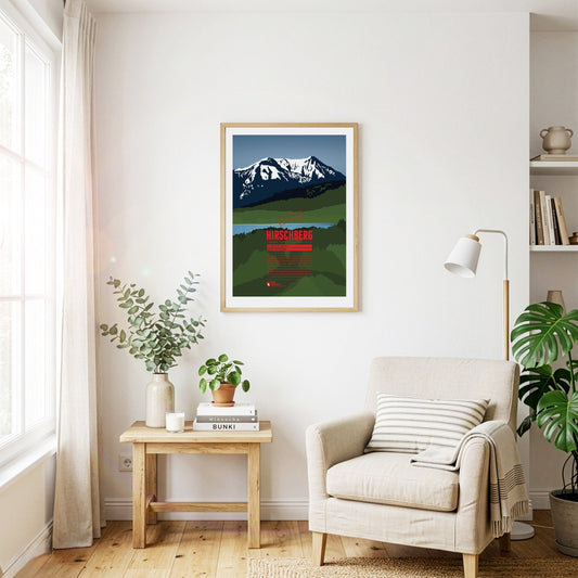
South of the Tegernsee rises the Hirschberg, with its main summit in the west and a fore-summit about 15 metres lower in the east. Despite its comparatively modest height, the mountain is visible from far to the north and greets the inhabitants of the Bavarian Alpine foreland. The summit can be reached on various walking paths and offers an excellent view that in good weather stretches from the Roßstein across the Zugspitze to the Großglockner.
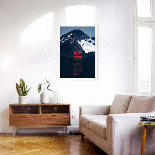
North-east of Merano, the Hirzer rises as the highest summit of the Sarntal Alps, more than 2000 metres above the Passeier valley. This tourist region is well developed, which also makes the ascent of the Hirzer comparatively easy. The Hirzer cable car carries its passengers to an altitude of 1980 metres, and from the top station the normal route leads past the Hirzer hut to the summit. Around the Hirzer run the Waalwege typical of South Tyrol – irrigation channel paths once built to water the apple orchards.
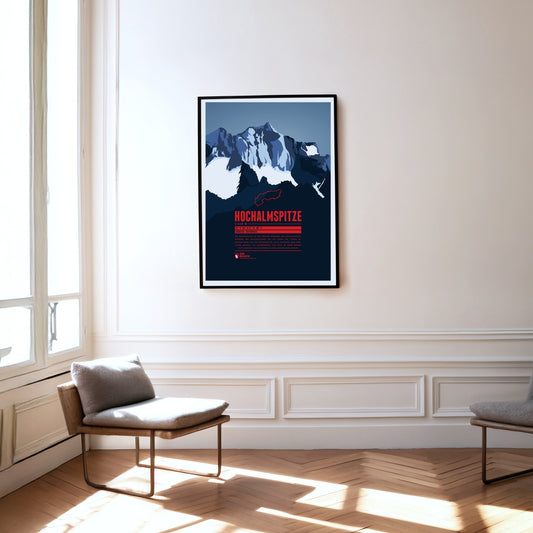
The Hochalmspitze is the highest point of the Ankogel group. While the Großglockner is often called the king of the Tauern, the Hochalmspitze – helped by its feminine article in German – is known as the princess of the Tauern. That suits her white glacier gown, which surrounds her below her long ridges.
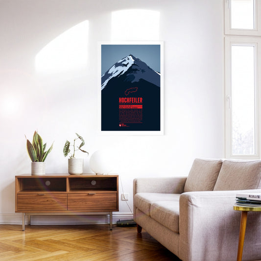
The Hochfeiler (Italian: Gran Pilastro) is the highest mountain in the Zillertal Alps and lies on the border between Austria and Italy. It has two very different sides. From the Schlegeis reservoir the eye falls on an icy, forbidding north face. Anyone approaching from the south-west out of the Pfitsch valley, by contrast, sees the flanks of the Hochfeiler running comparatively gently down towards the valley.
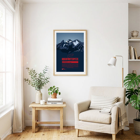
The Hochfrottspitze is the highest mountain on the German side of the Allgäu Alps. Trettachspitze, Mädelegabel and Hochfrottspitze form the famous triumvirate of peaks. The cliffy wilderness on the south side used to be called “Frut”, from which the mountain probably received its name. Inhabitants of nearby Oberstdorf also call the mountain one of the three Trettach peaks.
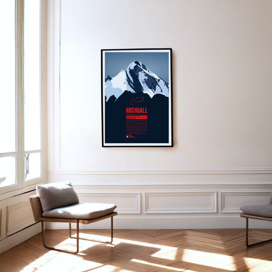
The Hochgall, or Collalto, is a border mountain between Austria and Italy and the highest summit of the Rieserferner group – a stately, trapezoidal block with a striking summit ridge. The mountain closes the gap between the Hohe Tauern, the Zillertal Alps to the west and the Tauferer valley in South Tyrol. It can therefore be climbed from either Austria or Italy.
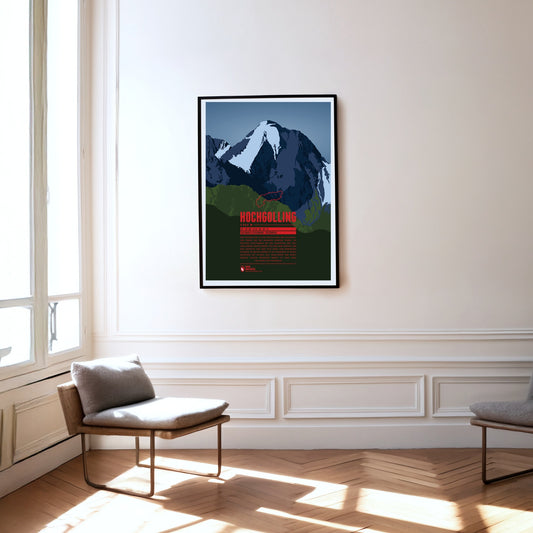
The Hochgolling is the highest mountain in the Schladming Tauern and in the Niedere Tauern as a whole. The massive rock pyramid with its striking, steeply falling ridges rises above the Untertal and the Lesachtal, stretching from the state of Salzburg in the west across into Styria in the east. The eye-catcher of this mountain of dark rock, steep on every side, is its north face of around 1000 metres.
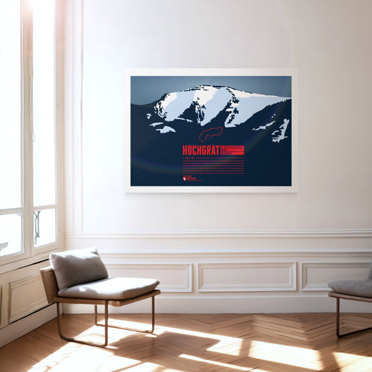
The iconic and local mountain of Oberstaufen is the highest peak of the Nagelfluhkette and of paramount importance for both tourism and geography. The aerial lift Hochgratbahn takes you up to about 125 metres below the summit. On the mountain slopes one can find many Alpine pastures. The Hochgrat mountain run is one of the sportive highlights in the district of Oberallgäu.
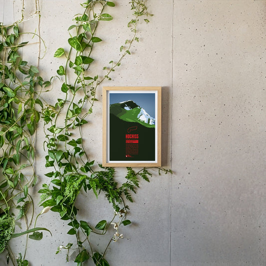
The Hochiss is the highest summit of the Brandenberg Alps and lies on the main crest of the small Rofan group, a subgroup of the Brandenberg Alps in Tyrol east of the Achensee. The name Hochiss derives from the dialect word ‘Iss(e)’, meaning a pasture or a high alpine grazing ground.
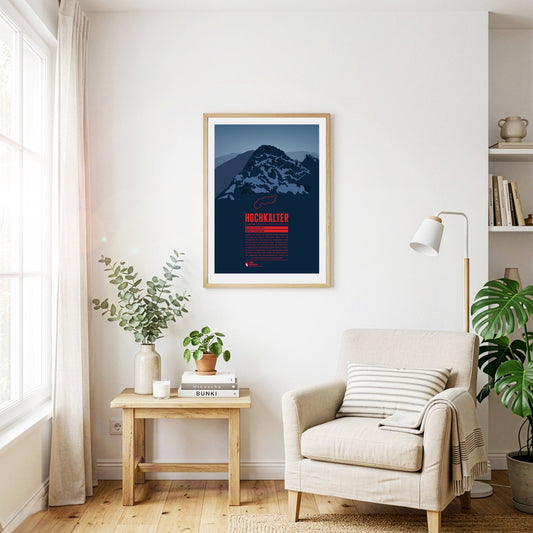
Although it often stands in the shadow of its famous eastern neighbour, the Watzmann, the Hochkalter in the massif of the same name is one of the highest summits in Germany. On its north side lies the Blaueis, the northernmost glacier in the Alps. A little further north lies the Zauberwald, a forest strewn with boulders. It was formed around 4000 years ago by an enormous rockslide on the Hochkalter massif, which also dammed up the Hintersee.
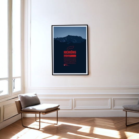
Hochkönig is the highest mountain massif of the Berchtesgarden Alps south of the German-Austrian border and one of the most prominent peaks in the Alps. The massif appears especially impressive seen from the south. The summit is covered by the “Übergossene Alm”, a glacier which has shrinked severely over the last decades.
The Hochschwab is the highest mountain of the Hochschwab group in Styria, east of the Gesäuse national park. The Hochschwab group is a largely bare, karstified plateau range. The plateau drops away to the south in a steep wall about 300 metres high and two kilometres wide. The caves running through the massif are typical of a karst range as well.
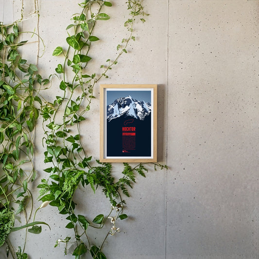
Hochtor is the highest mountain of the Ennstal Alps in Styria. From the banks of the Enns on the edge of the Gesäuse National Park, the Hochtor towers up almost like a Dolomite peak. Anyone wanting to reach the summit via the 900-metre north-west face should be a competent climber. The normal route from the Johnsbach valley to the south is not entirely easy either and requires a head for heights and climbing skills.
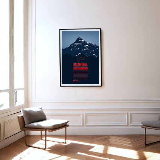
The Hochvogel is not the highest mountain of the Allgäu Alps, but one of its most iconic and best-known summits. It offers a breathtaking panoramic view from the top. To the east you can see Wetterstein and Karwendel, to the south the view takes you up to the High Tauern. In the west the Swiss Alps with Säntis and Tödi show and in the north you can see the Black Forrest and the Swabian Jura.
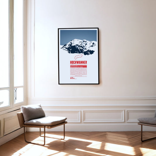
The Hochwanner, on the border between Bavaria and Tyrol, is Germany’s highest point outside the Zugspitze massif. Its impressive north face drops more than 1400 metres towards the Reintal. The first ascent was made in 1870 by what is now the normal route from the south, out of Tyrol. In the summer months there is a good chance of meeting the marmots that live here during the climb. At the top, a fine view opens up over neighbouring mountains such as the Alpspitze to the north and the Mieming Chain to the south.
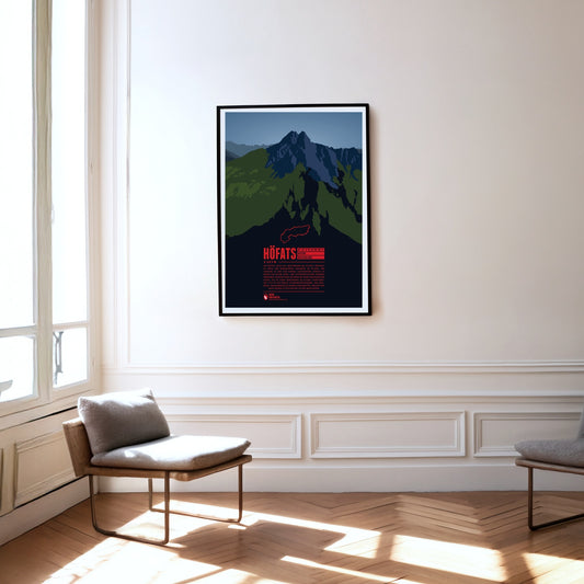
The Höfats, also known as “the Matterhorn of the Allgäu”, is the Allgäu's most characteristic grass mountain. Ascending the four, almost equally high summits is very challenging, due to very steep grass and schrofen faces. The reward is a unique flora, which has no resemblance anywhere else in the Allgäu. In 1911 a protected area for plants was established around the Höfats. The edelweiss, which had been almost extinct, can nowadays be found again, in clusters of 30 blossoms and more.
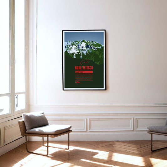
The Hohe Veitsch, the highest summit of the Mürzsteg Alps in Styria, lies east of the Mürz valley and west of the Aflenzer Seeberg and the Rax. It is a whole massif, its elongated plateau running from west to east. There is no mountain railway here, but the way to the summit is – given a little stamina – quite straightforward.
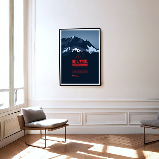
The Hohe Warte (Italian: Monte Coglians) lies on the border between Carinthia and Friuli-Venezia Giulia in Italy. It is the highest point of the Carnic Alps and forms an impressive massif together with its neighbouring peaks Kellerspitzen, Kellerwarte, Seewarte and Kollinkofel. The summit is best reached from the Italian side via the Rifugio Marinelli.
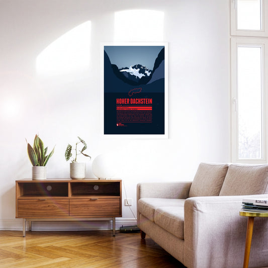
Hoher Dachtsein is the highest mountain of the Dachstein Mountains and also the highest peak of the Austrian states of Upper Austria and Styria. The mountain's south face is famous for its steep cliffs falling down about 1000 metres. The aerial tramway Dachstein-Südwandbahn takes you from Ramsau in Styria to the southern part of the Dachstein massif. For the construction of the lift a part of the subpeak Hunerkogel was blown up in the 1960s.
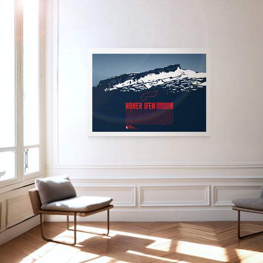
The Hoher Ifen, or Hochifen, is the highest point of the ifen plateau, which goes up tilted to the Ifenmauer, the northern rock face. Even though not being one of the highest summits of the Allgäu Alps, it offers a wide view over the German-Austrian border region. The Gottesacker (“God's Acre”) in the north, an almost moonscape-like karstic plateau, is particularly impressive. Today it is a nature reserve and home to rare animals and flowers. In 1998 a dwelling site from the Stone Age on the eastern flank was discovered, and later excavated.
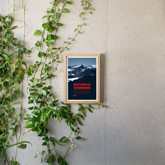
The Hoher Sonnblick is the highest mountain of the Goldberg group in the Hohe Tauern. The group’s name goes back to the gold-mining history of the region. The gold extracted from the 13th to the early 19th century was one of the foundations of the wealth of the Archbishopric of Salzburg. In more recent times the Sonnblick has suffered badly from climate change: the glaciers are melting and the permafrost is thawing. In 2003 the summit was stabilised with shotcrete and rock anchors.
Situated nearby the four-thousanders of the Pennine Alps, the Jegihorn appears rather small. However the peak is a popular destination for climbers. The rope bridge on the via ferrata Jägihorn is particularly famous and opened from June to October. From the top of the Jegihorn a breath-taking panorama offers views of the neighbour summits of the Mischabel Group, the Bernese Alps, and the Rhône Valley.
The Julier Pass is a significant mountain pass located in the Swiss Alps, reaching an elevation of 2284 meters. It connects the Engadin valley in the canton of Graubünden with the rest of Switzerland and offers stunning vistas of the surrounding peaks. With its rich history as an ancient trade route and its modern importance as a major roadway, the Julier Pass attracts both travelers and outdoor enthusiasts alike.
The Jungfrau is the highest summit of the trio it forms together with the Eiger and the Mönch. The opening of the rack railway to the Jungfraujoch at over 3400 metres in 1912 made the mountain one of the most easily accessible four-thousand-metre peaks in the Alps. The name may have passed over time from the Wengernalp on the northern slope – called Jungfrauenberg by the nuns of the former Interlaken convent – to the Jungfrau itself.
South of the Chiemsee lake the Kampenwand rises with its distinctive rock mountain top, resembling of a rooster's comb (German: Kamm). This makes the mountain easy to spot, even from greater distances. Not on the main summit, but on the four meters lower east summit is the highest summit cross in the Bavarian Alps with a height of 12 meters. In winter the Kampenwand Cable Car transports skiers into the winter resort Kampenwand–Aschau on the northeastern slopes. Ascending the main summit, about 200 meters above the mountain station, is possible by hiking with only short climbing passages. But Kampenwand has much more to offer for climbers, mountainbikers, and freeriders.
The Kitzsteinhorn is part of the Glockner Group in the High Tauern. The first summit ascent was made by Johann Entacher in 1828. The first Austrian glacier ski are was opened at the Kitzsteinhorn in 1965. An observation deck on 3029 metres offers an excellent view of the neighboring summits.
At 1948 metres, the Klausen Pass links the Schächental in Uri with the Linthal in Glarus. Our print shows it from the eastern side: the hairpins of the pass road high above the Urnerboden, which at eight kilometres long is the largest alpine pasture in Switzerland, grazed by around 1200 cattle each summer. Below runs the Fätschbach, which rises beneath the Clariden, bursts from the rock face as a spring waterfall and further down tumbles over the ledges of the Berglistüber into the Linthal. The pass road was built between 1893 and 1899, and from 1922 to 1934 the legendary Klausen race was held here – in winter the crossing is closed.
The Königspitze (Italian: Gran Zebrù) lies south of the Ortler and forms a striking trio with it and the Zebrù. It is only the second-highest mountain in the Ortler Alps, but is often called the most beautiful of them. In the 19th century the mountaineer Julius Meurer described the Königspitze as the ‘most perfectly formed, most distinguished mountain in the whole of the Eastern Alps’.
The Kräuterin is a striking dome of the Hochstadl and the highest point of the Ybbstal Alps. The summit rises north of the Salza valley, which separates it from the Hochschwab group. The Kräuterin is rugged and rocky and has several subsidiary peaks, with wide alpine meadows stretching between them.
The Kreuzjoch is the highest mountain of the Kitzbühel Alps and at the same time their south-western cornerstone. The Zillertal begins west of the mountain, the Gerlostal to the south-east. The summit is easy to climb: cable cars run up the mountain from both Gerlos and Zell am Ziller, though not quite to the top.
La Meije, in the French Dauphiné Alps, is one of the best-known mountains of France, besides the Mont Blanc. For climbers the highest peak, la Grand Pic, is said to be one of the most challenging obstacles in the Alps. The first successful ascent was made in 1877. The name “Meije” is going back to the Provençal word “Meidjour”, meaning “midday”.
La Saulire is located in the world's biggest ski area “Les Trois Valléés”, on the border between the resorts “Courchevel” and “Méribel/Mottaret”. In winter tens of thousands of skiers pass the summit each day. Most of them use the groomed slopes. Only few are courageous enough to take the couloirs, some wild, steep, and narrow ski-runs in between the rocks.
The Lagginhorn is the second four-thousander in the Weissmies Group in Valais, close to the Italian border. It is also the lowest four-thousander in Switzerland. The ascent of the Lagginhorn is considered to be only slightly more difficult than that of the neighbouring Weissmies, which is only 7 metres higher. The popular normal route to the summit, which was already chosen for the first succesful ascent in 1856, starts in Saas-Grund in the valley and goes via the Weissmieshütte in about 2700 metres.
West of the Sella group the peaks of the Langkofel or Sassolungo Group form a nearly perfect half circle. The two dominant summits are the Langkofel (Sassolungo) in the northeast as the highest peak of the group and Plattkofel (Sasso Piatto) in the southwest. Due to the many ski resorts in the winter the area can be accessed with various aerial lifts, among them a gondola from Sella Pass to the mountain hut Utia Toni Demetz. The famous ski circuit Sella Ronda also leads alongside the Langkofel Group.
Regular price
from 19 €
Regular priceSale price
from 19 €
Books, maps and more.
About the Alps and the world.