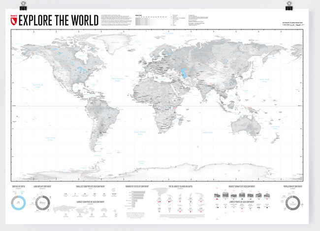
The map in which you can draw in your own special places in the world.
Edition 2: 04-01-2021
Size: 1000 x 700 mm
Print: Digital print 200 g matt
Language: English
Map Structure
The backbone of our map consists of contour lines for every 100 meters in low altitudes and for every 500 meters for heights above 500 meters.
Thus, the map provides a great image of the surface of the Earth.
The light map colors and white oceans are intended to make it easy to place your own markings on the map.
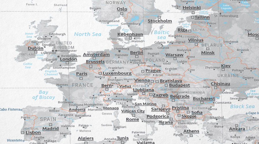
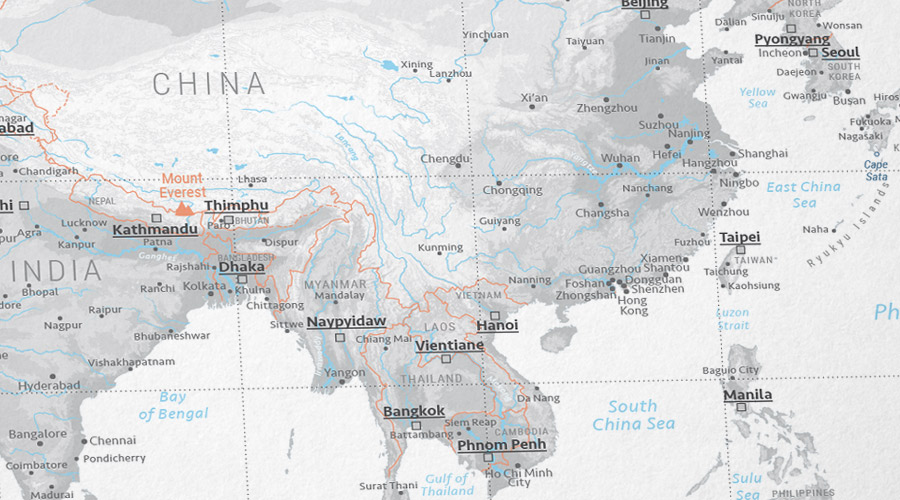
The map displays the most important rivers and waters, country borders, the capitals and other important towns, and the Seven Summits as reference points.
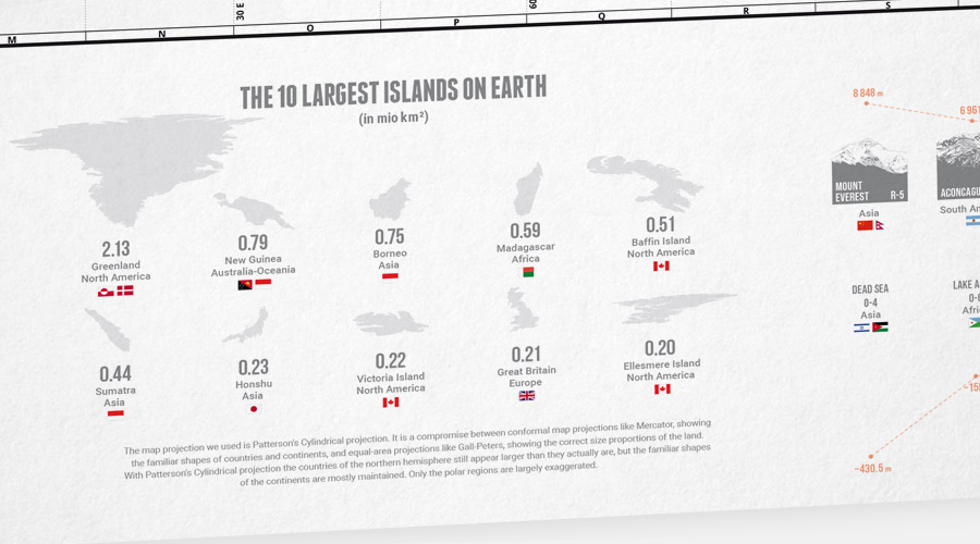
The infographics at the bottom of the map illustrate some statistics about the continents and their land area, population, largest and smallest countries, highest and lowest point, and an overview of the 10 largest islands on Earth.
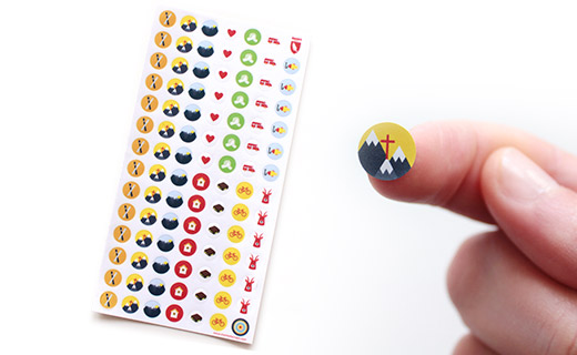
Marmota Stickers for our world map
Our matching travel-themed Marmota sticker set helps you to mark your most memorable experiences on the map.
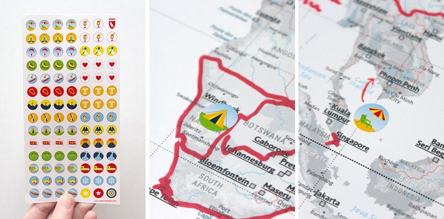
Example Gallery
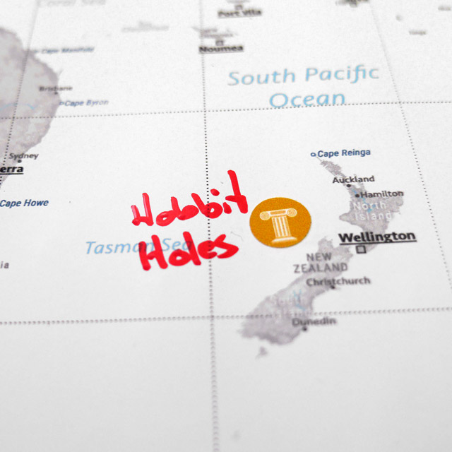
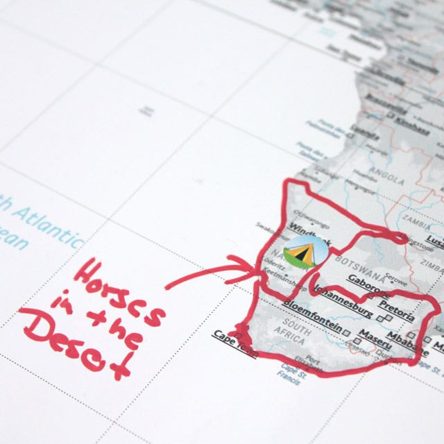
Here we show some examples of personalized world maps.
We are curious to see how you designed your world map. We'd be happy to receive your photos via service@marmotamaps.com .
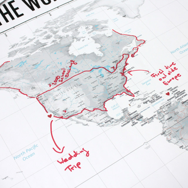
Own Writings and Markings
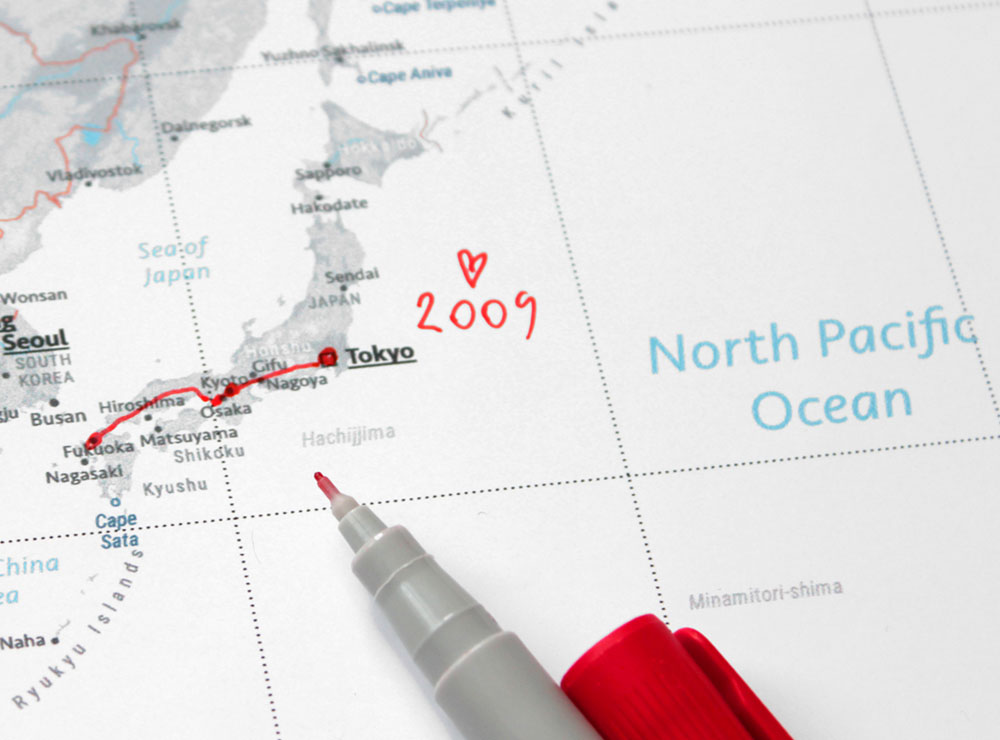
The light map colors are suitable to draw in your own markings.
We can recommend the following pens*:
Sharpie permanent, Staedtler permanent, Staedtler non-permanent, Schneider 240 permanent, Edding 3000 permanent. 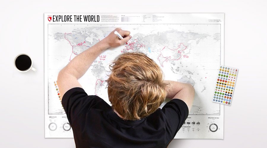
Writing on foamcore
For your own labels and markers on our foamcore maps we can recommend Staedtler non-permanent * markers. The writing can be removed afterwards, as needed, with a bit of water and a damp cloth.
* The following links lead you to product pages on the Amazon-website. They are so-called “affiliate links”, for which we earn a small share of the revenues. There is no data transfer to Amazon before visiting these links. Clicking on the links does not influence the prices for the end customers.
