82 Four-Thousand-Metre Peaks of the Alps · Mont Blanc

Grandes Jorasses (Pointe Walker)

Height
4208 m
Prominence
843 m
First ascent
1868
Country
France, Italy

On the mapView poster

Grandes Jorasses als illustrierter Druck von Marmota Maps (4208 m, Grajische Alpen)
Illustration from our poster Grandes Jorasses, from 19 €

About the mountain

The Grandes Jorasses are part of the Mont Blanc massif and lie to the north-east of the highest mountain in the Alps, on the French-Italian border. They rise up like a wall of stone, its jagged summit area featuring a series of peaks. Six separate summits are usually identified, five of which lie above 4000 metres. The highest point is Pointe Walker.

The highest summit is named after the English mountaineer Horace Walker, who, together with Melchior Anderegg, Johann Jaun and Julien Grange, made the first ascent of the Grandes Jorasses in 1868. Three other summits are also named after climbers: Pointe Whymper (4184 m), named after the Briton Edward Whymper, Pointe Croz (4110 m), after Michel Croz of Chamonix, and Pointe Young (3996 m), after Geoffrey Winthrop Young, the third Briton in this group. Pointe Elena (4045 m) and Pointe Margherita (4065 m) are named after Queen Margherita and Princess Elena of the House of Savoy, in whose domain the Mont Blanc massif lay until 1860.

Read more

The north faces of the Grandes Jorasses, the Eiger and the Matterhorn are commonly regarded as the "three great north faces of the Alps". The north face of the Jorasses rises almost vertically some 1000 metres above the Glacier de Leschaux. It was first climbed in 1935. To this day it remains one of the most difficult challenges in mountaineering. Anyone wishing to attempt the ascent here should be able to cope with climbing difficulties of grade VI and above.

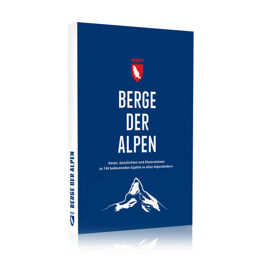
From our book ‘Berge der Alpen’ (2023, in German), pp. 90–91 · View book

Location in the Alps

Loading map …

In comparison

Rank 31

of 82 four-thousanders of the Alps, by height

  • Prominence: Rank 14 of 82
  • Dominance: Rank 14 of 82

↑ Mont Blanc, 4807 mLes Droites, 4000 m

Fact file

Height
4208 mSource: List on our wall map ‘82 Four-Thousand-Metre Peaks of the Alps’ (2026)
Prominence
843 m
Key col
Col du Géant, 3365 m
Isolation
7.9 km (to Mont Blanc du Tacul)
Orometric dominance
20.0
Climbing grade (normal route)
III
First ascent
30 June 1868
First ascent party
Horace Walker, Melchior Anderegg, J. Jaun, J. Grange
Country
France, Italy
Group
Mont Blanc
Coordinates
45.8682° N, 6.989° E
Number
56 of 82
What do the numbers mean?
Prominence
How far a summit rises above its surroundings: the height difference between the summit and its key col.
Key col
The lowest point on the way to the next higher summit, usually a saddle. Summit height minus col height is the prominence.
Isolation
The straight-line distance to the nearest point that is higher than the summit.
Orometric dominance
Prominence divided by height, in per cent. The higher the value, the more independent the summit.
Climbing grade (normal route)
The hardest climbing on the normal route, in Roman numerals. I is the easiest.

More on our poster What defines a mountain?

Four-thousanders nearby

You may also like

Height and other values: list on our wall map ‘82 Four-Thousand-Metre Peaks of the Alps’, as of 23 September 2026. Text: our book ‘Berge der Alpen’ (2023, in German), pp. 90–91.

All 82 four-thousanders on the map