Utsira is the smallest independent municipality in Norway and a popular destination. The rocky island is famous for its birdlife. over 300 species having been spotted here.
The first Norwegian king established his court on Karmøy. The strait between the island and the mainland is an important shipping route once known as the North Way – and it gave Norway its name.
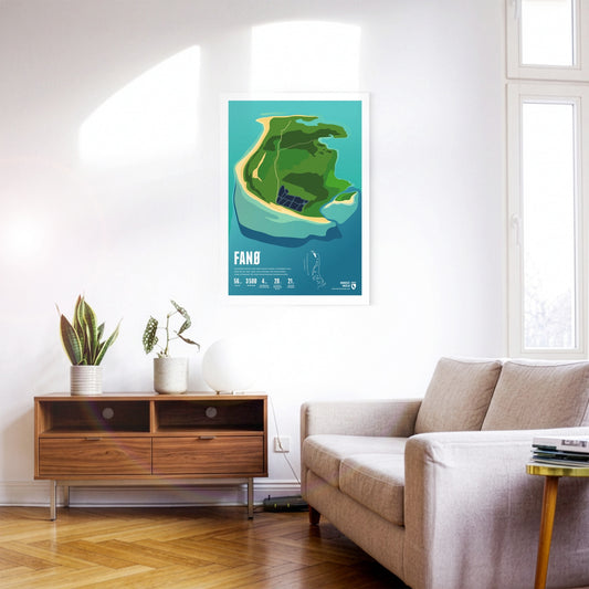
Car races were once held on Fanø's broad beach. Many harbour and grey seals live around the island. Fanø is known for its traditional women's costumes.
Mandø was once regularly flooded mudflat, but is protected by a dyke today. The island is linked to the mainland by a causeway that can be crossed at low tide.
The largest Danish North Sea island of Rømø is sparsely populated, but a popular destination for one-day visitors, who can reach it via a road embankment. The west beach is one of the widest beaches in Europe.
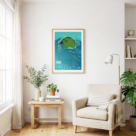
The landscape on Föhr is flat and characterized by meadows and agricultural areas. In addition to the main town of Wyk, there are many small, picturesque villages. The beaches are narrow but very popular for swimming.
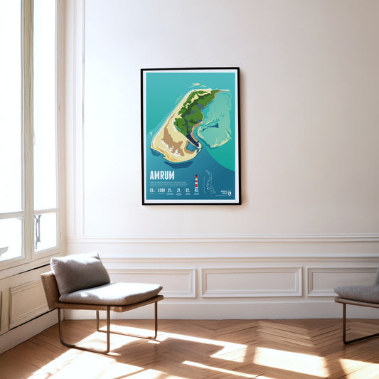
Amrum is known for the Kniepsand, its wide beach, which is actually a sandbank that wanders around the island. Amrum's landmark is the red and white striped lighthouse.
Langeneß is the largest Hallig in the Wadden Sea. Its inhabitants live on 18 dwelling mounds that turn into small islands during storm surges. Goods reach the island by narrow-gauge trolley line.
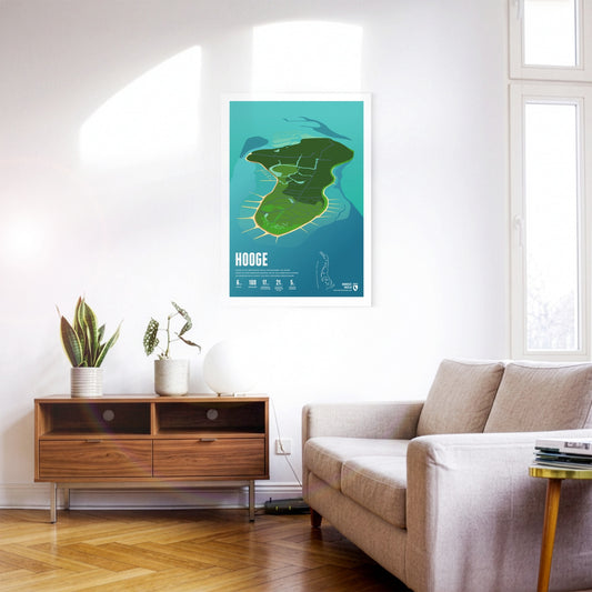
Hooge is the second-largest Hallig in the Wadden Sea. Its houses stand on ten inhabited dwelling mounds that protect them from storm surges. A low dyke guards against even more frequent flooding.
About 20 people live on the Hallig of Nordstrandischmoor, spread across four dwelling mounds. The island school is one of the smallest schools in Germany. A narrow-gauge trolley line connects the Hallig with the mainland.
Pellworm lies amid mudflats. The island is protected all around by a dyke, without which it would flood regularly. There is no sandy beach here, but plenty of peace and quiet.
Lying in the mudflats off the Elbe estuary, the island of Neuwerk forms – together with the uninhabited neighbouring islands of Scharhörn and Nigehörn – the northernmost and westernmost district of Hamburg.
Wangerooge's shape is reminiscent of a seahorse. The island was hit by bombs in the Second World War. Today things are peaceful, with the island railway trundling gently through the landscape.
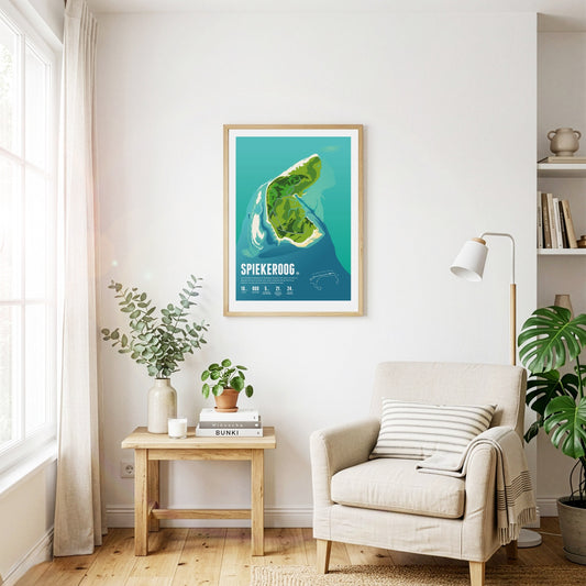
Car-free Spiekeroog is exceptionally close to nature and quiet. The island is known for its idyllic village – even bicycles are considered too hectic here. Untouched wilderness reigns on the Ostplate sandbank.
The car-free island is particularly popular with families. The colourful island railway carries visitors into the village. Langeoog's landmark is the water tower built on a dune.
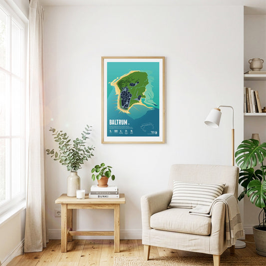
Baltrum is considered especially restful thanks to its tranquillity. Instead of street names, the small car-free island has only house numbers – the oldest houses carry the lowest ones.
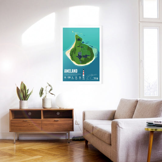
With its many group accommodations, Ameland is a popular destination for school trips. The idyllic village of Hollum lies at the western end, home to the well-known red-and-white lighthouse.
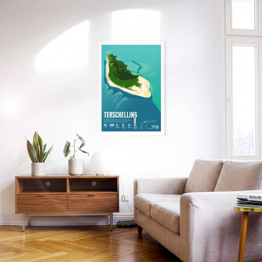
Terschelling is known for the annual Oerol cultural festival. A 30-kilometre beach encloses the dune landscape. Thousands of birds live in the nature reserve in the east of the island.
Norderney was the first German seaside resort on the North Sea, as the historic spa buildings still testify today. In the west there are plenty of pubs and bars, in the east – solitary nature.
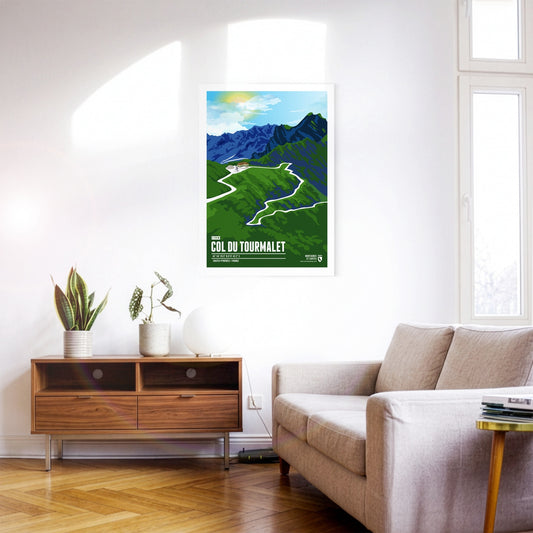
The Col du Tourmalet is a French Pyrenean pass in the south-west of the Hautes-Pyrénées department. It owes its fame above all to cycling: no other mountain pass has been ridden more often in the history of the Tour de France. The Tourmalet was already on the programme in 1910, when the Tour first went into the Pyrenees. Octave Lapize, who reached the top first and went on to win the 1910 general classification, is said to have hurled the indignant cry "Vous êtes des assassins!" ("You are murderers!") at the race organisers. The Vuelta a España has also climbed the Tourmalet several times.
The Timmelsjoch, also called the Timmel, is a 2474-metre border pass between Austria and Italy that separates the Ötztal Alps from the Stubai Alps and connects the Ötztal with the Passeier valley. The pass, whose name derives from the Romansh word "tömbl" for hill, has been used since the earliest times and was an important trade route, including for the Fugger and Welser merchant families. The border between Italy and Austria has run across the pass since 1920, and in 2010 the Timmelsjoch Museum opened – built exactly on the border and highlighting the history and significance of the pass.
At 2642 m, the Col du Galibier is the fifth-highest paved road pass in the Alps. This pass in the Western Alps is one of the absolute classics on the Tour de France programme, and it has a great deal to offer scenically as well. Much of the route runs through high Alpine terrain resembling a lunar landscape. The Galibier also forms a climatic boundary between the wetter northern Alpine climate and the dry Mediterranean climate on its southern side.
Framed by Sass Pordoi and Sass Becé, the Passo Pordoi lies in the heart of the Dolomites and separates the Italian provinces of Trento and Belluno. Built at the beginning of the 20th century as one of the highest paved mountain passes in the Dolomites in order to connect Bolzano with Cortina d'Ampezzo, the pass is above all a popular destination today. In summer the Passo Pordoi is a starting point for hikes, climbs and mountain tours, while in winter the slopes of the Belvedere and Arabba ski areas can be reached from here.
On the Großglockner High Alpine Road, the saying “the journey is the destination” is to be taken literally. The road is far more than an ordinary car link between the Austrian federal states of Salzburg and Carinthia; it is also a tourist attraction and a natural spectacle. Following its course takes you through the Hohe Tauern National Park in the middle of the high Alps, with sections at altitudes of up to 2500 metres. In the spring and summer months there is also a good chance of spotting Alpine marmots, which are numerous in the area.
The car-free island is nowhere wider than 900 metres, so the sea is never far away and its surf is always audible. On Juist, horse-drawn carriages carry people and goods.
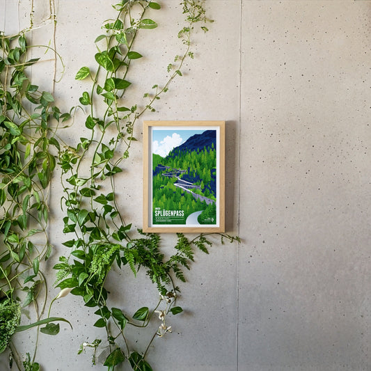
The Splügen Pass connects Switzerland with Italy and impresses with its many tight hairpin bends, historic tunnels and protective stone galleries that cling spectacularly to the rock. The winding pass road is particularly thrilling, turned into an unforgettable experience by these unique structures and the imposing Alpine landscape.
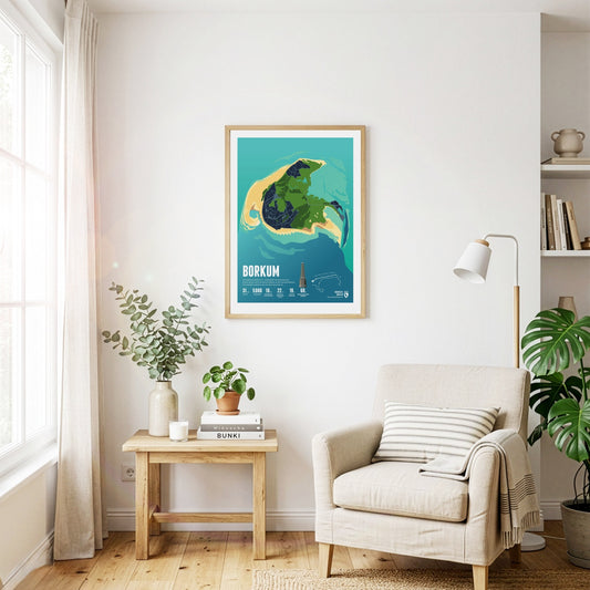
Seaside tourism flourished on Borkum in the 19th century. Historic buildings along the beach promenade still bear witness to it today. The Borkum narrow-gauge railway picks up visitors at the harbour.
The Julier Pass is a significant mountain pass located in the Swiss Alps, reaching an elevation of 2284 meters. It connects the Engadin valley in the canton of Graubünden with the rest of Switzerland and offers stunning vistas of the surrounding peaks. With its rich history as an ancient trade route and its modern importance as a major roadway, the Julier Pass attracts both travelers and outdoor enthusiasts alike.
The car-free island of Schiermonnikoog (Literally translated: Islandof the Gray Monks) belonged to a Frisian monastery in the Middle Ages. The nature of the island has been protected as a national park since 1989.
Half of the quiet and car-free island of Vlieland consists of a vast expanse of sand called the "Sahara of the North." The only village on the island is home to many historical buildings.
The largest Frisian island is particularly popular with tourists. Texel's beach is 30 kilometers long, with the busiest seaside resort of De Koog. Countless sheep graze on the island's pastures.
Piz Medel is a peak in the Adula Alps, a part of the Lepontine Alps on the border between the Swiss cantons of Graubünden and Ticino. West of the summit is the Greina, an important Alpine pass between the two cantons, which was already used in ancient times. A number of huts are situated around the summit as starting points for tours around the mountain, among them the Medel Hut. As many other mountains in the area the Piz Medel is a worthwile destination for ski mountaineering.
The Piz Ault lies south of the Oberalpstock. Both mountains rise above the Vorderrhein valley and the town of Disentis. The ski lifts of the ski resort Disentis 3000 go up as high as 2800 meters, just below the summit of the Piz Ault. A popular stop in the summer and the winter is the hut of the Swiss Alpine Club Camona da Cavardiras west of the mountain, on the other side of the Brunni Glacier.
Pierra Menta is situated east of Albertville in the Beaufort region. The rougly 2700 meter high rock peak fascinates hikers and climbers alike, due to its characteristic shape. Pierra Menta is most of all known for the legendary skimountaineering race, which is named after the mountain and taking place in the area each year. It is one of the three most important races in the Alps in this sport.
Visible from far away, the Ötscher rises to a height of 1893 meters in the Ybbstal Alps, in the east of the Northern Limestone Alps. The Ötscher appears especially impressive when viewed from the north or south, when you can see the mountain massif in its full extension. The name of the mountain goes back to Slavic inhabitants, living in the area in the 9th century, who called the mountain “Othza” (father mountain). All year round Ötscher is a popular destination for hikers and climbers. The ski area Lackenhof is situated north west of the summit.
The Oberalpstock is one of the highest mountains in the Glarus Alps and rises between the northern Maderranertal in the canton of Uri and Surselva, the Vorderrhein valley in Graubünden in the South. Among the major characteristics of the mountain are its four ridges which meet close to the summit. The first ascent of the Oberalpstock was accomlished from the south eastern side, which is still the normal route today. Apart from hikers and climbers the mountain is also a popular destination for ski mountaineering.