Monte Resegone is one of the most famous mountains of Lombardy. Although not being a tall mountain in height it still appears impressive with about a dozen different peaks stretching over a length of roughly three kilometers. The highest point of the mountain is Punta Cermenati. Monte Resegone rises about 1500 meters over the town of Lecco at Lake Como in the west. On clear days the summit area is visible from as far as Milan.
At 3476 metres, the Olperer is the third-highest summit of the Zillertal Alps in Tyrol and the highest point of the Tux ridge. Seen from the east, the peak appears as an almost perfect rock pyramid. The ascent by the normal route from the south-east can be managed with easy climbing sections. More demanding is the way from the Geraer Hütte over the Olpererferner, the Wildlahnerscharte and finally the mountain’s north ridge.
Risserkogel, the second highest summit of the Tegernsee Mountains, is situated south of the slightly lower Plankenstein whose distinctive peaks make it a popular destination for climbers. The ascent to the summit of Risserkogel can be achieved with a two to four hour hike, depending on the chosen path. This makes the mountain a popular destination, notably for the inhabitants of Munich and the surrounding area.
The snow-covered summit of the Weissmies looks as if it were covered in white moss. The mountain owes its name to this: in the local dialect, ‘Mies’ means ‘moss’. Situated in the Valais Alps, the Weissmies is the highest summit of the Weissmies group and gives it its name. It was first climbed in 1855 and is considered one of the easier four-thousand-metre peaks to ascend. From the summit the view sweeps across the neighbouring peaks of the group and the Mischabel range to Monte Rosa, and down into the Saas valley to Saas-Fee in the west and the Simplon valley in the east.
The Vesulspitze is located east of Ischgl in Tyrol and is part of the Samnaun Alps. Apart from the Piz Rots on the Swiss-Austrian border it is the highest peak of the mountain range on the Austrian side. When standing on top of the Vesulspitze one can not only admire the mighty wooden summit cross. As a relatively free-standing Three-thousander it also offers a great panorama of the surrounding mountains and valleys.
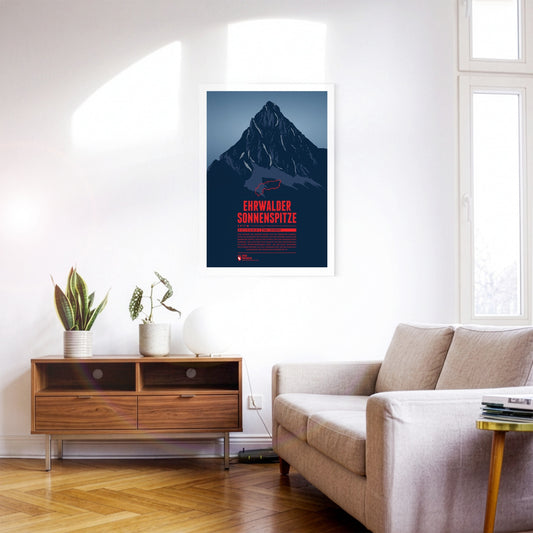
Seen from the north the Ehrwalder Sonnenspitze rises as a distinctive stone pyramid in front of the other summits of the Mieming Range. East of the summit is the beautiful lake Seebensee, which offers a great view onto the Zugspitze in the Wetterstein mountains. The Alpine hut Coburger Hütte at the Drachensee in the south is a popular starting point for summit attempts of the Sonnenspitze.
The Sassongher rises some 1000 metres as a mighty rock tower above the southern Val Badia and the village of Corvara. The striking mountain is part of the Puez-Odle Nature Park, in whose south-east it lies. Reaching the summit of the Sassongher is reserved for experienced climbers. The effort is rewarded with an impressive view from the top: the mountain is known for its splendid panoramas of other Dolomite peaks, from the Fanes group and the Sella massif to the Marmolada.
Piz Vallatscha is a Three-thousander in the Sesvenna Alps, a mountain group in the border triangle between Tyrol in Austria, South Tyrol in Italy, and the Swiss canton Graubünden. North west of the summit is the higher Piz Tavrü. In the south east the lifts of the ski area Minschuns reach a height of 2700 meters. South of the Piz Vallatscha is the Fuorn Pass, an important and old part of the connection betwenn the valleys of Inn and Adige (Etsch).
The Piz Muraun rises on the southern side of the Grisons municipality of Disentis/Mustér. Opposite the summit, to the north, lie the Piz Ault and the Oberalpstock; to the south rises the Piz Medel, a good 300 metres higher. Although the climb to the summit of the Piz Muraun can be managed without any real climbing sections, it is still a demanding walking route. For the less athletic, a ride on the famous Glacier Express to Disentis is recommended, offering a spectacular view of the mountain.
Lake Reschen is known above all for the church tower rising out of the water – a landmark of the submerged village of Alt-Graun. The artificial lake lies at around 1500 metres near the border with Austria and is now a popular destination for water sports, cycling and winter tourism.
Lüneburg Heath is a unique natural landscape in northern Germany, created by centuries of grazing and clearing. The region was originally covered by dense forest, but human influence turned it into wide stretches of heathland. Today the area covers around 7400 square kilometres and is known above all for its purple flowering heather in late summer.
The Scala dei Turchi is a monumental rock made of white marl stone in the south of Sicily. Its cliffs appear like a huge rock staircase and have become a tourist attraction.
The Teufelstisch ("devil's table") at Hinterweidenthal is one of the scenic landmarks of the Palatinate. At around 14 metres high, the mushroom rock is the largest of its kind in the Palatinate Forest and a popular climbing destination, though many also explore it on foot along the Hinterweidenthal Teufelstisch trail. The unique formation came about as erosion wore away the surrounding rock layers until only the hard stone remained that gives the Teufelstisch its astonishing shape today.
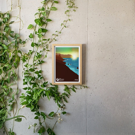
Tenerife is the largest of the Canary Islands and charms visitors in every season with its mild climate. The Spanish volcanic island stands out for its geographical variety: while the Pico del Teide, at 3718 metres the highest mountain in Spain, towers at its centre, in the east of the island you can enjoy the flowering plants of the green Orotava valley or explore the yellow Californian poppy meadows near Arafo. The north-east of the island is covered by the wildly rugged, densely wooded Anaga mountains, which rise steeply from the sea at the coast to a height of around 1000 metres.
The Schlögener Schlinge is an impressive natural wonder in Upper Austria. About halfway between Passau and Linz, the Danube, guided through hard granite stone of the Bohemian massif, makes a sharp turn that almost closes the river in a circle. The impressive meander can be viewed extraordinary well from the viewing platforms in the Schlögener area, which are connected by numerous cycling and hiking trails.
Puente Nuevo is the main tourist attraction of the small town of Ronda in southern Spain. The massive bridge connects the old town with the younger El Mercadillo district over the approximately 120-meter-deep El Tajo canyon. In the 18th century the ashlar stones that form the bridge were cut in the in the very ravine which they bridge today. It took 40 years to build Puente Nuevo.
Over a thousand individual lakes form the Mecklenburg Lake Plateau (German: Mecklenburgische Seenplatte). The network of waters makes the region particularly popular with water sport-enthusiasts, while also being attractive for hiking or cycling. Numerous national parks, clear lakes and starry night skies promise everlasting memories.
Lago di Braies, known in German as the Pragser Wildsee, lies in the heart of the Braies Dolomites in South Tyrol and is therefore also called the pearl of the Dolomite lakes. It is the largest of these lakes and a popular destination, and it is the setting for numerous myths and legends of the region. At the southern end of the lake, where the imposing Seekofel towers above the water today, the gateway to the underworld is said to have stood.
Amid the Swiss Alpine landscape, the Lauterbrunnen Valley cuts through the Bernese Alps. The small villages of the trough valley are surrounded by steep, lush green cliffs, from which waterfalls plunge several hundred metres into the deep. This collection of springs and streams not only gave the iconic region its name, but it also inspired world-famous "The Lord of the Rings" author J.R.R. Tolkien for the elven home of Rivendell.
Austria's highest waterfall is located in the High Tauern National Park: the Krimml Waterfalls. Over 380 meters the Krimmler Ache plunges over three cascades into the Salzach, which itself flows into the Inn. The natural spectacle can be best admired from the hiking trail Krimml Wasserweg, which each year leads large numbers of visitors into the iridescent drizzle of the roaring water.
The impressive chalk cliffs are the iconic landmark of Rügen. The fascinating colour contrast between lush green forest, chalk-white limestone walls and turquoise-blue sea water has been attracting large numbers of tourists and inspired several well-known poets and painters over the years. One of the most famous among them was the romantic Caspar David Friedrich, who immortalized the play of colours in his painting “Kreidefelsen auf Rügen”.
Nestled between the steep slopes of the Watzmann and the Hagengebirge, the Königssee lies hidden in the Berchtesgaden National Park. Its breathtaking natural setting is shaped by the almost vertical slopes of the surrounding mountains. Owing to the unique architecture of the terrain, the crystal-blue water can only be explored by boat – there are no footpaths or cycle paths around the lake.
Ko Lanta is arguably the most beautiful island of Thailand. Situated in the southwest of the country it actually consists of two islands lined with turquoise-blue bathing bays. While the main island of Lanta Yai has numerous hotels and tourist attractions, the northern island of Lanta Noi has mostly been left untouched. This balance between thriving tourism and pristine nature makes Ko Lanta unique.
During the glacial melt of the last ice age the Gorges du Verdon was dug through the thick limestone in today's département Alpes-de-Haute-Provence. The breath-taking gorge is also called the “Grand Canyon of Europe”, due to the iconic steep white rock cliffs that line the course of the Verdon river and which can rise up to heigts of 700 meters over the water.
The “Eisriesenwelt” (the World of the Ice Giants) in the Tennen Mountains in the Austrian state of Salzburg is the largest ice cave in the world. On a distance of over 42 kilometers visitors are presented with a breath-taking natural spectacle that reaches deep into the mountain. Crystal clear ice palaces with monumental ice formations dominate the complex cave system. Even on hot summer days temperatures inside the cave are usually below freezing.
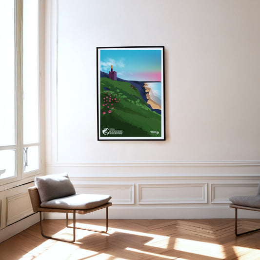
Due to its location on the Celtic Sea, the Cornwall region in the southwest of England offers an unusually mild climate that also influences the local flora and fauna. The landscape features breath-taking cliffs that overlook picturesque bays and colourful gardens in which even subtropical flowers bloom in full splendour.
The Cordillera de Guanacaste is a mountain range in northern Costa Rica close to the Nicaraguan border. The range includes a considerable number of active and dormant stratovolcanoes. The most famous one is also one of the highest volcanoes of the range: the Arenal volcano. It last erupted in 1968, destroying two villages and covered the entire region with volcanic ash. Arenal is still active today, even though the danger of another fatal eruption is not considered very high in the foreseeable future.
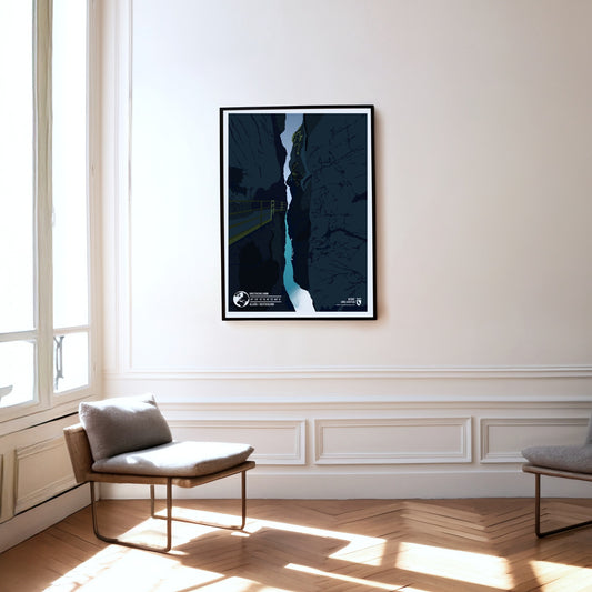
The Breitachklamm is the deepest gorge in Central Europe with a depth of 150 metres. Over 8000 years ago, during the glacial melt of the last ice age, the Breitach dug through the massive alpine rock. The 2.5-kilometer-long canyon was first made accessible at the beginning of the 20th century. Since then, it has become one of the most popular tourist attractions in the Allgäu.
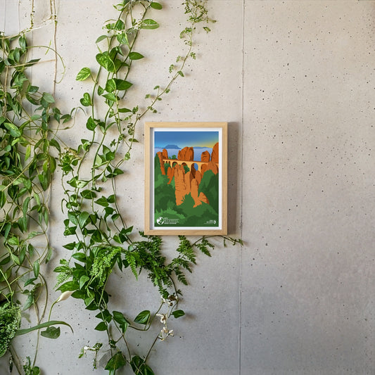
The Bastei is one of the most famous tourist attractions of Saxon Switzerland. At a height of 305 metres above sea level the sandstone plateau offers a breath-taking view of the Elbe valley as well as the distant table hills. Each year about 1.5 million tourists enjoy the unique prospect of the Elbe and the Elbe Sandstone Mountains over the Bastei Bridge, which was build in 1851. Bizarre rock plateaus which stem all over in the adjacent forest lend the Bastei its unique appearance.
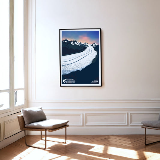
The Aletsch Glacier in the Swiss canton of Wallis is the best-known as well as the longest and biggest glacier in the entire Alps. Starting at a height of about 3800 meters in the Jungfrau-region of the Bernese Alps the glacier reaches over 22 kilometers towards the Massa river, which itself flows into the Rhône. The Aletsch Glacier as well as the adjacent Aletsch Forest make up the biggest part of the UNESCO World Natural Heritage site Swiss Alps Jungfrau-Aletsch.
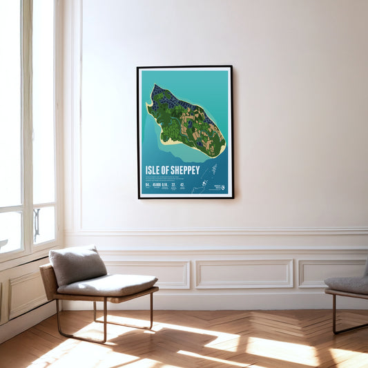
The Isle of Sheppey lies in the Thames estuary. The flat island is separated from the mainland only by a narrow channel. Its beaches are popular day-trip destinations.
Lindisfarne is a tidal island that can be reached on foot during low tide. It is also known as "Holy Island" and is famous for Lindisfarne Castle and the ruins of a monastery.
Orkney Islands are a Scottish anarchipelago, which consists of the main island (Mainland) and approximately 70 smaller islands. The highest point of the group is Ward Hill, which rises to an elevation of 479 meters.
The Shetland Islands are an island group in Scotland. They are located in the middle between Norway, the Faroe Islands, and the Scottish Orkney Islands, thus forming the northern boundary of the North Sea facing the North Atlantic.
Tysnesøy is situated between the Hardangerfjord and the Bjørnafjord. The north the island is mountainous. The islands’ highest point is the 753 meters high Tysnessåto.
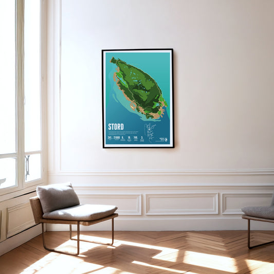
Mining was carried out for centuries on the island of Stord, set between fjords and skerries. The island's highest mountain, the Mehammarsåta, rises to 749 metres.