Gamsfeld is the highest mountain and the only two-thousander in the Salzkammergut Mountains. The slopes of Gamsfeld below the dome-shaped summit drop steeply in all directions, making ascents somewhat demanding. The efforts are rewarded with a breathtaking view of the noticeable higher mountains of the Dachstein massif in the south and the lakes of the Salzkammergut in the north. Gamsfeld is also known for the lush Alpine flora on its slopes. Alpine roses can form dense carpets of flowers during their bloom.
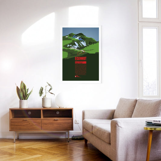
Eisenhut, “the Iron Hat”, is the highest peak of the Gurktal Alps and the Nock Mountains. It is located in Styria close to the border with Carinthia in the south. As the name suggests, iron ore used to be mined around the Eisenhut. Mining in the region has been documented since the 13th century. Today, tourism is an important economic factor, especially with the ski resort Turracherhöhe, south-west of the Eisenhut.
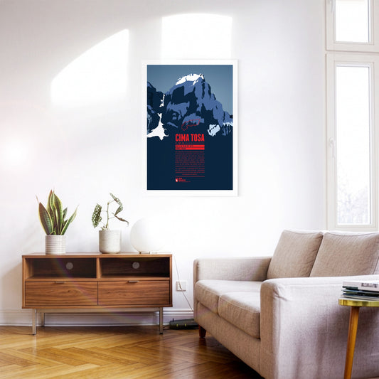
Cima Tosa is a mountain in the Brenta Group, north of Lago di Garda. It was once considered the highest point in the massif. However, new measurements revealed a summit height of just under 3 136 meters, making Cima Brenta (3 151 m) in the north the higher of the two peaks. Nevertheless, Cima Tosa is a fascinating huge, snow-covered rock tower with steep walls. The north face of the mountain, which is around 800 meters high, is particularly impressive.
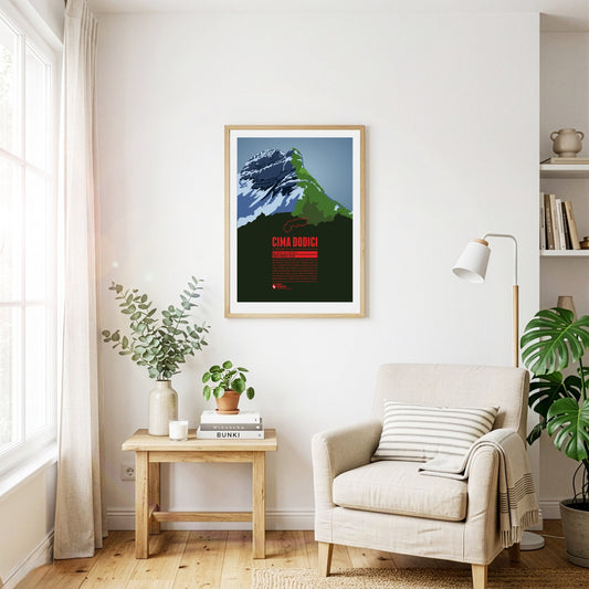
Cima Dodici (or Cima XII) is the highest point of the province of Vicenza and the Vicentine Alps, which rise northeast of Lago di Garda. The border with the province of Trento runs across the summit. In German, the mountain is also known as Zwölferkofel. Since Cima Dodici is easily accessible from all directions it is a popular destination for mountain hikes in the summer and ski tours in winter.
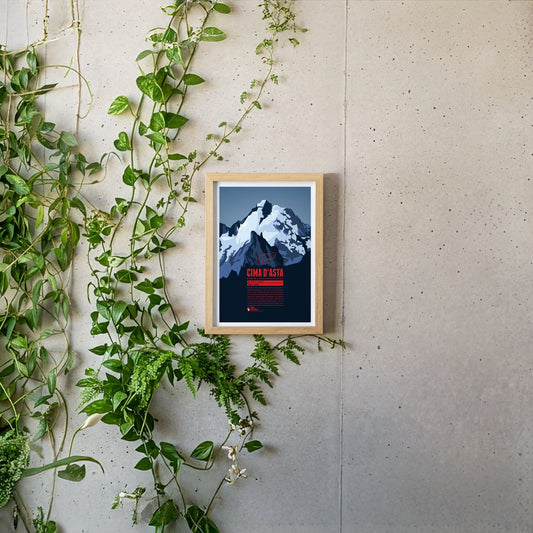
Cima d'Asta is the highest peak of the mountain massif of the same name and thus also the highest point in the Fiemme Mountains The mountain is located in a rather remote part of the Dolomites, away from the main tourist routes. The rock of the Cima d'Asta consists of granite, which sets it apart from the surrounding mountains, which are mainly characterized by reddish volcanic stone.
The Schesaplana is rising close to the southern tripoint between Switzerland, Austria, and Liechtenstein. Situated in the center of the Alps and being the high point of the Rätikon the summit offers a view over hundreds of Alpine mountains up to the Pennine Alps, Ötztal Alps, the Zugspitze massif, and beyond. On the way to the mountain top different mountain huts can be passed, such as the Mannheimer Hütte in the north behind the Brandner Glacier, the Douglashütte at the Lünersee in the east, or the Schesaplanahütte in the south.
The impressive Niesen towers south of Lake Thun. Due to its pyramid-shape in the winter months, when the sun is low, the summit casts a large triangle shadow on the community of Spiez at the foot of the mountain. Since 1910 the mountain top can be reached with the Niesenbahn, a funicular railway.
As one of the western summits of the Daumen Group the Rubihorn and its summit cross tower west of the Nebelhorn and north of the Schattenberg. The mountain is named after the town Rubi, which is situated north of Oberstdorf. The mountain top offers a stunning view over the Iller Valley and the surrounding summits. One of the most scenic routes to the summit leads from the east along the picturesque Gaisalpsee.
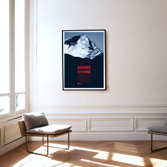
Das Birnhorn ist die höchste Erhebung der Leoganger Steinberge und zählt zu den 30 prominentesten Alpengipfeln. Fast 2 000 Meter erhebt sich das Birnhorn über dem Tal der Leoganger Ache in seinem Süden. Die etwa 1 400 Meter hohe Südostwand des Berges ist eine der höchsten Felswände der Ostalpen, die sogar mit der berühmten, nahegelegenen Ostwand des Watzmann verglichen wird.
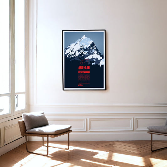
Während die Marmolata als Königin der Dolomiten gilt, ist Antelao ihr König. Für die Gebirgsgruppe eher ungewöhnlich, ragt der Berg als freistehende Felspyramide im Südosten von Cortina d'Ampezzo majestätisch in die Höhe. Zusammen mit dem westlich gelegenen Monte Pelmo bildet der zweithöchste Dolomitengipfel ein riesiges Eingangsportal in das Val di Cadore.
The Rigi is a mountain massif with the highest peak Rigi Kulm. It is located between Lake Lucerne, Lake Zug and Lake Lauerz and offers a spectacular view over large parts of the Swiss Alps. This is one of the reasons why the first mountain railway in Europe, the Vitznau-Rigi-Bahn, was build here in 1871. Rigi has attracted famous guests for centuries: Twain and Goethe visited the massif and Tolstoi even described the view as “the most beautiful in the world”.
Zwischen Eiger und Jungfrau komplettiert der Mönch das eindrucksvolle Dreigestirn im Berner Oberland. Von der Bergstation der Jungfraubahn sind es knapp über 600 Höhenmeter Aufstieg bis zum Gipfel, der allerdings einige technische Herausforderungen beinhaltet. Erst 1996 wurde bei Nachmessungen festgestellt, dass der Berg neun Meter höher ist als bisher angenommen. Am Berg wurden früher auf Weiden Wallache, sogenannte „Münche“ gesömmert. Aus dem „Münchenberg“ wurde dann der Mönch.
The Mutspitze is the local mountain of Dorf Tirol and forms the south-eastern end of the Texel Group in the Ötztal Alps. The summit is a popular destination for day hikes and offers magnificent views down the valleys south towards Merano and north into the Spronser Valley and the rest of the Texel Group. The ascent starts with the Hochmuth cable car and from there either from the east via the Mutkopf or from the west via the Leiter Alm and the Taufenscharte. The demanding route is easily manageable thanks to the hiking trails carved into the rock.
Die Jungfrau ist der höchste Gipfel des Dreigestirns, das sie gemeinsam mit Eiger und Mönch bildet. Die Eröffnung der Zahnradbahn zum Jungfraujoch auf über 3400 Meter Höhe im Jahr 1912 machte den Berg zu einem der am leichtesten zugänglichen Viertausender der Alpen. Der Name ging womöglich von der am Nordhang gelegenen Wengernalp, die von den Nonnen des ehemaligen Frauenklosters Interlaken Jungfrauenberg genannt wurde, mit der Zeit auf die Jungfrau über.
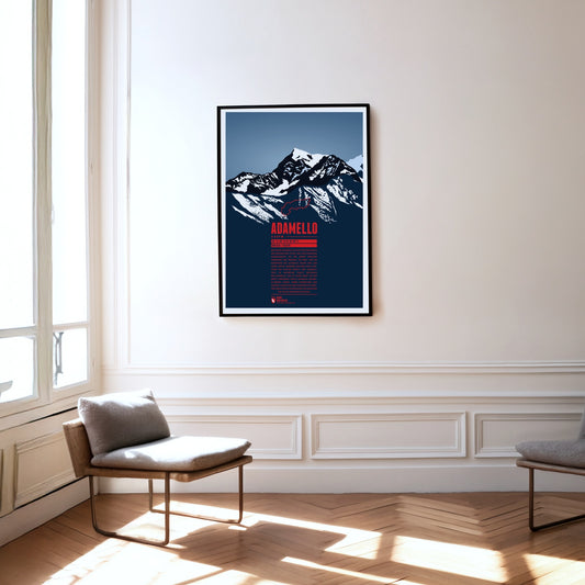
Der Monte Adamello ist nach der Presanella der zweithöchste Gipfel der gleichnamigen Gebirgsgruppe auf der Grenze zwischen Lombardei und Trentino. Die West- und die Nordwand des Adamello ragen steil zum Gipfel empor, während der Berg nach Südosten hin flacher abfällt. Der Adamello liegt im Naturpark Parco regionale dell’Adamello, der im Osten direkt an den etwas grösseren Parco naturale Adamello-Brenta grenzt. Neben Steinböcken und Gämsen lassen sich hier gelegentlich grössere Greifvögel wie Steinadler und Bartgeier und selten Braunbären blicken.
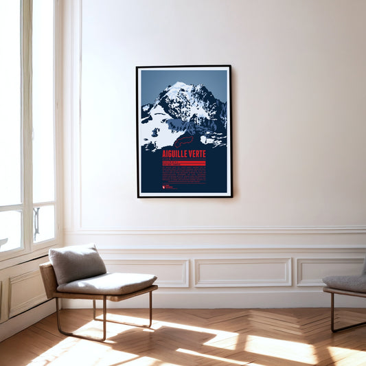
The Aiguille Verte, the “Green Needle”, is located in the Mont Blanc massif, east of Chamonix. With its rocky, pointed shape, it lives up to its name. The Aiguille Verte's massive rock face makes it one of the most challenging mountains to climb in the Alps. In some places the gradient reaches up to 55°, which is why even the normal route through the Whymper Couloir should not be underestimated. Additionally the mountain massif is surrounded by glaciers, which makes the ascent routes even more difficult.
Der Monte Stivo erhebt sich im Nordosten des Gardasees zwischen den beiden Tälern Valle dei Laghi im Westen und Vallagarina im Osten. Der Berggipfel bietet eine tolle Aussicht auf den nördlichen See sowie unter anderem auf die Gipfel von Marmolata, Adamellogruppe, Presanella und Sellagruppe. Nur etwa 40 Meter unterhalb des Gipfels befindet sich die Berghütte Rifugio Stivo Prospero Marchetti, die vom alpinen Verein Società degli Alpinisti Tridentini (SAT) betrieben wird.
The Weisshorn towers north of Zermatt in the Pennine Alps. The main summit of the Weisshorn group has a distinctive pyramid shape with three sharp ridges. Although there are many other four-thousanders in the area, the Weisshorn is relatively free-standing. The rock on the mountain's three faces is quite brittle, which is why they are hardly suitable for climbing. In order to reach the summit an altitude of 3000 meters has to be transcended, requiring a high level of stamina. The route via the southwest ridge is considered to be the most difficult way to the summit.
Südöstlich von Bad Reichenhall befindet sich der Untersberg, das nördlichste Gebirgsmassiv der Berchtesgadener Alpen. Die deutsch-österreichische Grenze verläuft über das ausgedehnte Gipfelplateau. Mit 1972 Metern ist der Berchtesgadener Hochthron dessen höchster Gipfel. Das gesamte Gebirgsmassiv ist von Karsthöhlen durchzogen. So befindet sich hier Deutschlands tiefste und längste bekannte Höhle sowie die einzige erschlossene Eishöhle. An den Nordhängen des Massivs wird seit der Römerzeit der bekannte Untersberger Marmor abgebaut.
South-east of Klagenfurt, close to the Slovenian border, the Obir massif rises in the Karawanks. Its highest elevation is the Hochobir. Because of the ore deposits around the Obir, mining was probably carried out here from the 12th century until the end of the 19th. In the process the Obir dripstone caves were discovered – today a protected monument – which were partly damaged by the mining work. Until 1947 the summit of the Obir was also home to one of the first weather stations in the Alps.
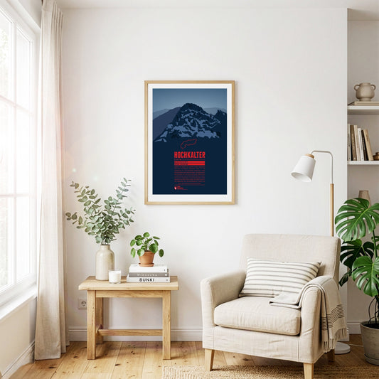
Obwohl er häufig im Schatten seines berühmten östlichen Nachbarns Watzmann steht, ist der Hochkalter im gleichnamigen Bergmassiv einer der höchsten Gipfel Deutschlands. An seiner Nordseite befindet sich mit dem Blaueis der nördlichste Alpengletscher. Noch etwas weiter nördlich befindet sich der Zauberwald voller Felstrümmer. Dieser entstand vor etwa 4000 Jahren bei einem gewaltigen Bergsturz am Hochkaltermassiv, durch den auch der Hintersee aufgestaut wurde.
Nach dem Mont-Blanc-Massiv ist der Monte Rosa das höchste Gebirgsmassiv der Alpen. Der höchste Gipfel, die Dufourspitze, ist der zweithöchste Berg der Alpen und der höchste der Schweiz. Östlich davon, direkt auf der Grenze zu Italien, liegt der Grenzgipfel, der 4618 Meter hoch ist, und weiter im Süden die Signalkuppe (4554 m). Direkt auf ihrem Gipfel steht mit der Capanna Regina Margherita (Margheritahütte) das höchstgelegene Gebäude Europas.
Der Mont Fort ist ein Dreitausender in den Walliser Alpen, der sich im Süden von Nendaz erhebt. Umgeben ist der Berg von drei Gletschern. Der Glacier de Tortin im Westen ist Teil des größten Skigebiets der Schweiz, 4 Vallées. Der Mont Fort lässt sich bequem per Seilbahn von Nendaz oder Verbier aus erreichen. Oben angekommen bietet sich einem bei passendem Wetter eine spektakuläre Aussicht auf die Bergmassive von Monte Rosa und Mont Blanc.
Zwischen Matterhorn und Monte-Rosa ragt der fünf Kilometer lange Liskamm empor. Sein höchster Punkt ist der Ostgipfel. Auf nordöstlicher Seite des Kamms fällt eine vereiste, über 1000 Meter steile Felswand ab. Südlich befindet sich der stark zerrissene Lysgletscher. 1861 wurde der Ostgipfel das erste mal bestiegen und drei Jahre später überschritten Alpinisten das erste mal den Grat. Die Gratüberschreitung kostete schon viele Bergsteiger das Leben, weshalb der Liskamm den Beinamen „Menschenfresser“ erhielt.
West of the Sella group the peaks of the Langkofel or Sassolungo Group form a nearly perfect half circle. The two dominant summits are the Langkofel (Sassolungo) in the northeast as the highest peak of the group and Plattkofel (Sasso Piatto) in the southwest. Due to the many ski resorts in the winter the area can be accessed with various aerial lifts, among them a gondola from Sella Pass to the mountain hut Utia Toni Demetz. The famous ski circuit Sella Ronda also leads alongside the Langkofel Group.
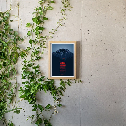
Südlich der deutsch-österreichischen Grenze ragt der Guffert mit seinem felsigen Doppelgipfel empor. Der freistehende Berg ist vom Tegernsee aus prominent sichtbar. Mit abwechslungsreichen Steigen und leichten Kletterstellen ist er ein beliebtes Ziel für Tagestouren. Vom Gipfelplateau aus erwartet einen ein weitreichender Blick über die Bayerischen Voralpen, das Wettersteingebirge, das Karwendel sowie die Hohen Tauern.
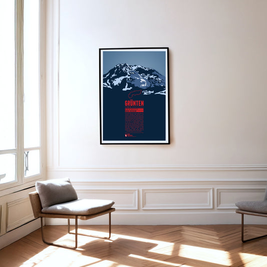
The Grünten is known as the Watcher of the Allgäu and is located south of Kempten, near the fringe of the Alps. During the Middle Ages the Grünten had already been climbed for the first time and a large deposit of iron ore was discovered. From the 15th to the 19th century many mining tunnels were dug. The iron ore production required large amounts of wood and the forest clearings on its slopes gave the Grünten ist name, since in the local dialect it simply means “bald head”.
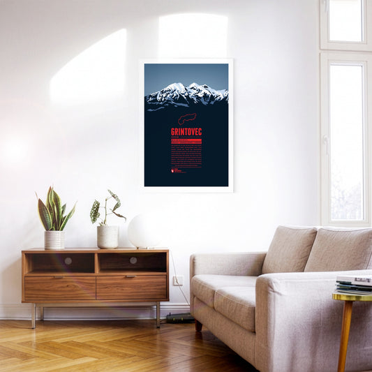
Grintovec is the highest peak of the Kamnik–Savinja Alps. While it is assumed that farmers, herdsmen or hunters from the area were the first to reach the summit of Grintovec the first documented ascent was achieved by the botanist Giovanni Antonio Scopoli om 1759. The mountain top offers a panorama view of the Kamnik–Savinja Alps and when weather conditions are good to the south one can even spot the Adriatic Sea.
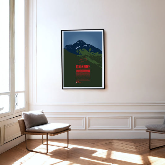
The Biberkopf (beaver's head) rises at the end of the main ridge of the Allgäu Alps and is considered to be Germany's most southern mountain. The border to Austria runs along the distinctive summit. The name of the mountain goes back to larger beaver colonies that populated the nearby Lechtal and the surrounding high moors. Beavers are also part of the traditonal womens' costumes of the area which include beaver hats.
Southwest of Oberstdorf, on the border between Bavaria and Vorarlberg the Söllereck rises as the northernmost summit of the Fellhorn ridge. The mountain is thus situated between the entries to the valleys Kleinwalsertal in the west and Stillachtal in the east. Via the Söllereckbahn aerial lift one reaches the summit station on 1358 meters. In the winter it is part of the ski area Oberstdorf / Söllereck.
The Nebelhorn is a summit in the Daumen Group of the Allgäu Alps, rising east of Oberstdorf. The aerial lift Nebelhornbahn brings passengers almost directly onto the summit, making it the highest aerial lift of the Allgäu. Even the Nebelhorn Trophy, a yearly international figure skating competition at Oberstdorf is named after the mountain.
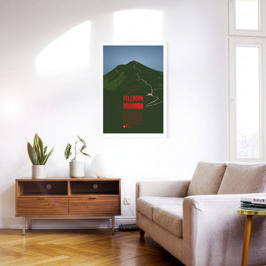
The Fellhorn is known as the flower mountain of the Allgäu Alps, especially due to the large fields of alpenroses on its slopes. As part of the Schafalp-group in previous times the mountain was also known under the name “Schlappolder Spitz”. From the Stillachtal valley the aerial lift Fellhornbahn takes visitors to a height of about 70 meters below the summit.
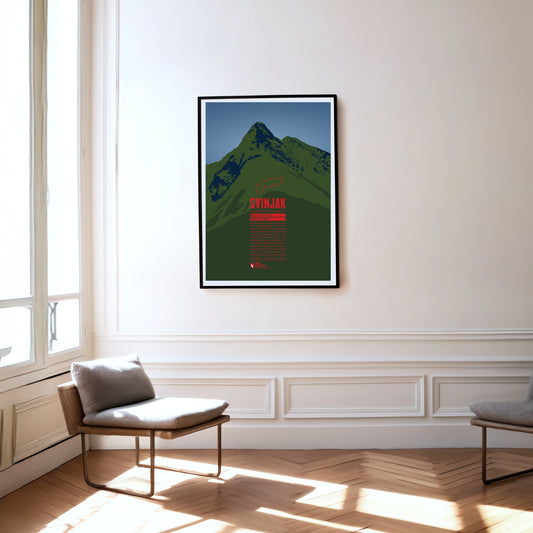
Im Nationalpark Triglav erhebt sich der pyramidenförmige Gipfel des Svinjak. Aufgrund seiner markante Form wird er auch als „Matterhorn von Bovec“ bezeichnet, da er zum Wahrzeichen der an seinem Fuß liegenden Ortschaft geworden ist. Trotz seiner vergleichsweise niedrigen Höhe ist der Svinjak ein beliebter Aussichtsberg. Von seinem Gipfel kann man das Bovec-Becken, das Soča-Tal und den höchsten Gipfel Sloweniens, den Triglav sehen.
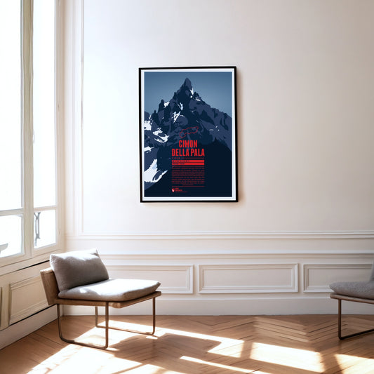
Der Gipfel des Cimon della Pala ist eine markante Felspyramide, weswegen der Berg auch als das „Matterhorn der Dolomiten“ bekannt ist. Einen besonders schönen Blick auf den Gipfel sowie die umliegenden Berge der Palagruppe hat man vom Gebirgspass Passo Rolle in fast 2000 Metern Höhe. Die Normalroute auf den Gipfel führt über den Ostgrat, wurde jedoch erst 1989 zum ersten mal durchstiegen. Bei der Erstbesteigung des Bergs 1870 wurde hingegen die Route über die Nordwand begangen.
Even though Patscherkofel is neither a particularly high peak in its area, nor considered very beautiful, its location south of Innsbruck make it the home mountain of the city. The transmission tower “Sender Patscherkofel” on the top rises another 67 meters above the summit. Patscherkofel became known to an international audience during the Olympic Winter Games of 1964 and 1976 when the Alpine ski competitions took place on the slopes of the mountain.
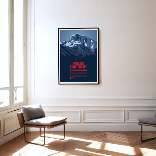
The Großer Krottenkopf is situated in Tyrol, south of the Bavarian town Oberstdorf. It is the highest point of the Hornbach Chain and the highest summit of the entire Allgäu Alps. The normal route to the Krottenkopf leads from the Alpine club hut Kemptner Hütte via the col Krottenkopfscharte, about 300 meters below the summit on the southern ridge of the mountain.