Die Trettachspitze ist der höchste Berg der Allgäuer Alpen, der sich komplett in Bayern befindet. Der markante Gipfel wird aufgrund seiner Erscheinung auch als das „Matterhorn des Allgäus“ bezeichnet. Der Aufstieg auf die Trettachspitze ist erfahrenen Kletterern vorbehalten. Als leichteste Route gilt der Weg über den Nordwestgrat. Häufig begangen werden vor allem unterschiedliche Routen an der Westwand des Bergs.
The rocky spires of the Rosengarten group rise to the east of Bolzano in the Dolomites. Its highest summit is the Kesselkogel. At sunset, the rock of this popular viewpoint glows in magnificent shades of red – a phenomenon known as alpenglow, or enrosadira in Ladin. Legend surrounds the mountain: the dwarf king Laurin is said to have cursed the Rosengarten after losing a battle for the king's daughter. The "Gartl" was to be visible neither by night nor by day, which is why today it appears only at dusk, during the alpenglow.
The Mythen are the iconic landmarks of Schwyz and are located east of the capital of the canton with the same name. The highest summit is the Grosser Mythen in the south. In the north the lower Kleiner Mythen rises and even further north is its sub-peak Haggenspitz. While hiking trails lead up to the Grosser Mythen the two lower summits can only be reached via climbing passages.
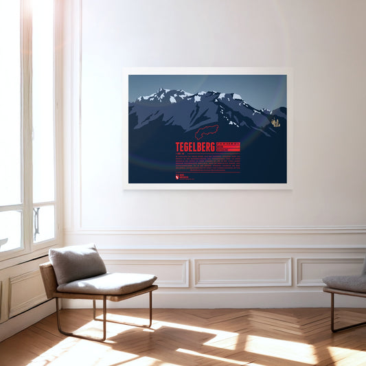
The Tegelberg rises in the Allgäu near Füssen. The highest summit of the massif is the Branderschrofen. The Tegelberghaus lies about 150 meters below the summit and can be accessed with the cable car Tegelbergbahn. Close to the mountain station is a popular starting point for paragliders who appear in large numbers during the warm season. On the western foot of the mountain is Hohenschwangau with the world famous Neuschwanstein Castle.
The Rax massif is located north of the Semmering Pass and is part of the Rax-Schneeberg group. The highest point of the mountain plateau is the Heukuppe. In 1894 Fritz Benesch developed the first grading system for alpine climbs at the Rax. In addition, after a disastrous avalanche the world's first mountain rescue service was founded here in 1896.
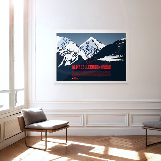
Durch seine Lage nahe vieler Viertausender der Walliser Alpen ist das Almagellerhorn nicht der auffälligste Gipfel der Region. Dabei hätte der formschöne Berg, der von Saas Fee aus als perfekte Felspyramide erscheint, alle Aufmerksamkeit verdient. Auch der Aufstieg, der nicht allzu schwierig ist, lohnt sich, denn vom Gipfel des Almagellerhorns hat man eine tolle Aussicht auf die umliegenden Gipfel und Gebirgszüge wie Weissmies im Norden, Stellihorn im Süden und natürlich im Westen die Gipfel von Mischabelgruppe und Monte Rosa.
South of the Chiemsee lake the Kampenwand rises with its distinctive rock mountain top, resembling of a rooster's comb (German: Kamm). This makes the mountain easy to spot, even from greater distances. Not on the main summit, but on the four meters lower east summit is the highest summit cross in the Bavarian Alps with a height of 12 meters. In winter the Kampenwand Cable Car transports skiers into the winter resort Kampenwand–Aschau on the northeastern slopes. Ascending the main summit, about 200 meters above the mountain station, is possible by hiking with only short climbing passages. But Kampenwand has much more to offer for climbers, mountainbikers, and freeriders.
The Nordkette, also known as Northern Chain or Inn Valley Chain, is the southernmost mountain chain in the Karwendel. Its highest summit is Kleiner Solstein, which is nearly 100 meters higher than neighbouring Großer Solstein. The via ferrata Innsbrucker Klettersteig leads over seven summits of the chain, from Seegrubenspitze via Langer Sattel to the summit named Frau Hitt.
Marmolada is known as the Queen of the Dolomites and the highest mountain of the range. The Ghiacciaio della Marmolada on the north face is the last major glacier of the Dolomites. The area is especially popular for hiking. The so-called “Dream Path” from Munich to Venice is one of the famous routes running around the mountain.
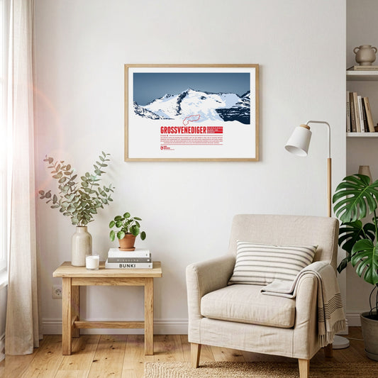
The highest summit of the Austrian state Salzburg lies on the border to Tyrol and is the high point of the Venediger Group, the westernmost mountain range of the High Tauern. The Großvenediger's characteristic summit is determined by its glaciers and the prominent ridges, running along towards all four cardinal points of the compass.
Monte Resegone is one of the most famous mountains of Lombardy. Although not being a tall mountain in height it still appears impressive with about a dozen different peaks stretching over a length of roughly three kilometers. The highest point of the mountain is Punta Cermenati. Monte Resegone rises about 1500 meters over the town of Lecco at Lake Como in the west. On clear days the summit area is visible from as far as Milan.
Der Olperer ist mit 3476 Metern Höhe der dritthöchste Gipfel der Zillertaler Alpen in Tirol sowie die höchste Erhebung des Tuxer Kamms. Von Osten gesehen erscheint der Berggipfel als nahezu perfekte Felspyramide. Die Besteigung des Olperers über die Normalroute von Südosten ist mit einfachen Kletterpassagen zu bewerkstelligen. Anspruchsvoller ist der Weg von der Geraer Hütte über Olpererferner, Wildlahnerscharte und schließlich den Nordgrat des Bergs.
Risserkogel, the second highest summit of the Tegernsee Mountains, is situated south of the slightly lower Plankenstein whose distinctive peaks make it a popular destination for climbers. The ascent to the summit of Risserkogel can be achieved with a two to four hour hike, depending on the chosen path. This makes the mountain a popular destination, notably for the inhabitants of Munich and the surrounding area.
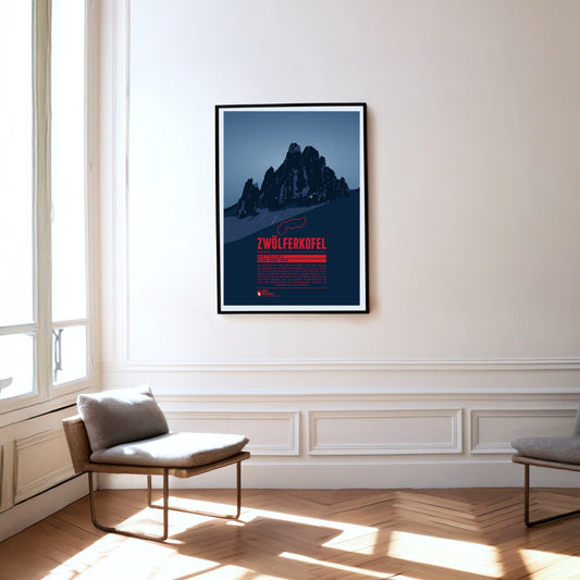
The Zwölferkofel or Zwölfer (Twelver) is one of five mountains which together form the Sexten Sundial. Seen from Moos near the town of Sexten, at noon (solar time) the sun is roughly over the Zwölferkofel's summit. Accordingly the neighbouring summits are named with numbers from nine to one (in German: Neuner, Zehner, Elfer, and Einser). As many Dolomite peaks, for climbers the Zwölferkofel is a popular and challenging destination.
Wie mit weißem Moos bedeckt erscheint der schneebedeckte Gipfel des Weissmies. Diesem Umstand verdankt der Berg seinen Namen, denn „Mies“ bedeutet im lokalen Dialekt „Moos“. In den Walliser Alpen gelegen ist der Weissmies höchster Gipfel und Namensgeber der Weissmiesgruppe. Er wurde 1855 zum ersten mal bestiegen und gilt als einer der leichter zu erklimmenden Viertausender. Vom Gipfel schweift der Blick über die Nachbargipfel der Gruppe, die Mischabelkette bis zum Monte Rosa sowie hinunter ins Saastal auf Saas-Fee im Westen und das Simplontal im Osten.
The Vesulspitze is located east of Ischgl in Tyrol and is part of the Samnaun Alps. Apart from the Piz Rots on the Swiss-Austrian border it is the highest peak of the mountain range on the Austrian side. When standing on top of the Vesulspitze one can not only admire the mighty wooden summit cross. As a relatively free-standing Three-thousander it also offers a great panorama of the surrounding mountains and valleys.
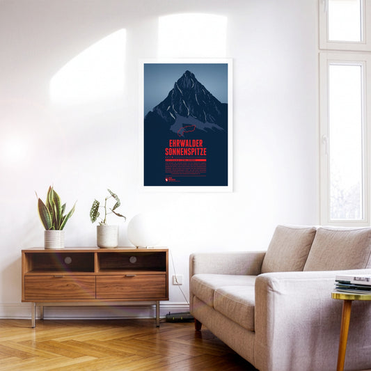
Seen from the north the Ehrwalder Sonnenspitze rises as a distinctive stone pyramid in front of the other summits of the Mieming Range. East of the summit is the beautiful lake Seebensee, which offers a great view onto the Zugspitze in the Wetterstein mountains. The Alpine hut Coburger Hütte at the Drachensee in the south is a popular starting point for summit attempts of the Sonnenspitze.
Etwa 1000 Meter erhebt sich der Sassongher als mächtiger Felsturm über das südliche Gadertal und den Ort Corvara. Der markante Berg ist Teil des Naturpark Puez-Geisler, in dessen Südosten er sich befindet. Den Gipfel des Sassongher zu erreichen ist erfahrenen Kletterern vorbehalten. Für die Mühen wird man mit einer beeindruckenden Aussicht von oben belohnt. Der Berg ist bekannt für die tollen Panoramen anderer Dolomitengipfel von Fanesgruppe über Sellastock bis zur Marmolata.
Piz Vallatscha is a Three-thousander in the Sesvenna Alps, a mountain group in the border triangle between Tyrol in Austria, South Tyrol in Italy, and the Swiss canton Graubünden. North west of the summit is the higher Piz Tavrü. In the south east the lifts of the ski area Minschuns reach a height of 2700 meters. South of the Piz Vallatscha is the Fuorn Pass, an important and old part of the connection betwenn the valleys of Inn and Adige (Etsch).
Auf der Südseite der Graubündner Gemeinde Disentis/Mustér erhebt sich der Piz Muraun. Dem Gipfel gegenüber liegen im Norden Piz Ault und Oberalpstock. Im Süden ragt der gut 300 Meter höhere Piz Medel empor. Auch wenn der Aufstieg zum Gipfel des Piz Muraun ohne echte Kletterpassagen zu bewerkstelligen ist, handelt es sich doch um eine anspruchsvolle Wanderroute. Für weniger sportlich Geübte empfiehlt sich eine Fahrt mit dem berühmten Glacier Express nach Disentis, die eine spektakuläre Aussicht auf den Berg bietet.
Der Reschensee ist vor allem für seinen aus dem Wasser ragenden Kirchturm bekannt – ein Wahrzeichen des versunkenen Dorfes Alt-Graun. Der künstlich angelegte See liegt auf etwa 1500 Metern Höhe nahe der Grenze zu Österreich und ist heute ein beliebtes Ziel für Wassersport, Radfahren und Wintertourismus.
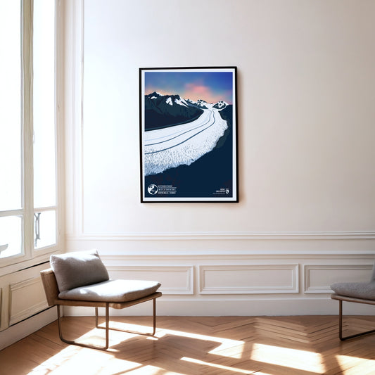
The Aletsch Glacier in the Swiss canton of Wallis is the best-known as well as the longest and biggest glacier in the entire Alps. Starting at a height of about 3800 meters in the Jungfrau-region of the Bernese Alps the glacier reaches over 22 kilometers towards the Massa river, which itself flows into the Rhône. The Aletsch Glacier as well as the adjacent Aletsch Forest make up the biggest part of the UNESCO World Natural Heritage site Swiss Alps Jungfrau-Aletsch.
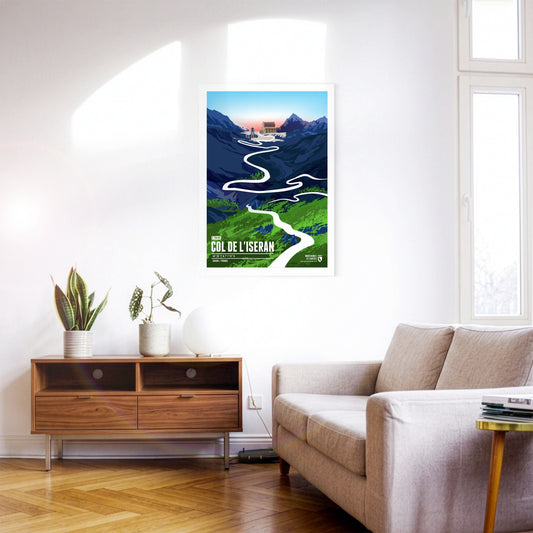
At 2764 metres, the Col de l’Iseran is the highest paved Alpine pass in Europe and one of the most legendary challenges in the French high mountains. It is of great importance for cycling and has been part of the Tour de France several times. Its difficulty comes not only from the amount of climbing and the length of the ascent but also from the thin air and the often extreme weather conditions. Even in high summer, cold and storms can dominate the pass – in 2019 the Tour de France even had to be abandoned here because of snow and landslides.
The Maloja Pass is an impressive mountain pass in the Swiss Alps at an altitude of 1812 metres. It connects the Engadin in the canton of Grisons with the Italian Valtellina and offers breathtaking views of the surrounding mountain landscape. The Maloja Pass is not only an important transport link but also a popular destination for tourists wanting to explore the beauty of the Alpine region.
The Timmelsjoch, also called the Timmel, is a 2474-metre border pass between Austria and Italy that separates the Ötztal Alps from the Stubai Alps and connects the Ötztal with the Passeier valley. The pass, whose name derives from the Romansh word "tömbl" for hill, has been used since the earliest times and was an important trade route, including for the Fugger and Welser merchant families. The border between Italy and Austria has run across the pass since 1920, and in 2010 the Timmelsjoch Museum opened – built exactly on the border and highlighting the history and significance of the pass.
At 2642 m, the Col du Galibier is the fifth-highest paved road pass in the Alps. This pass in the Western Alps is one of the absolute classics on the Tour de France programme, and it has a great deal to offer scenically as well. Much of the route runs through high Alpine terrain resembling a lunar landscape. The Galibier also forms a climatic boundary between the wetter northern Alpine climate and the dry Mediterranean climate on its southern side.
Alpe d'Huez is a winter sports resort in the French Alps, internationally known as a summit finish of the Tour de France.Alpe d'Huez – these are probably the 21 most famous hairpin bends in the world. The winding climb up to the French resort is also called the "Woodstock of cycling". When the Tour de France stops here, hundreds of thousands make the pilgrimage to the roadside and throw one big party.
Mont Ventoux is a 1909-metre massif in the French Provence. Also known as the "Giant of Provence", it holds great significance for cycling. Although the mountain is considerably lower than the best-known Alpine passes, it is comparable in difficulty – not only because of the many vertical metres, but often also because of the heat of Provence and a merciless headwind over the final kilometres.
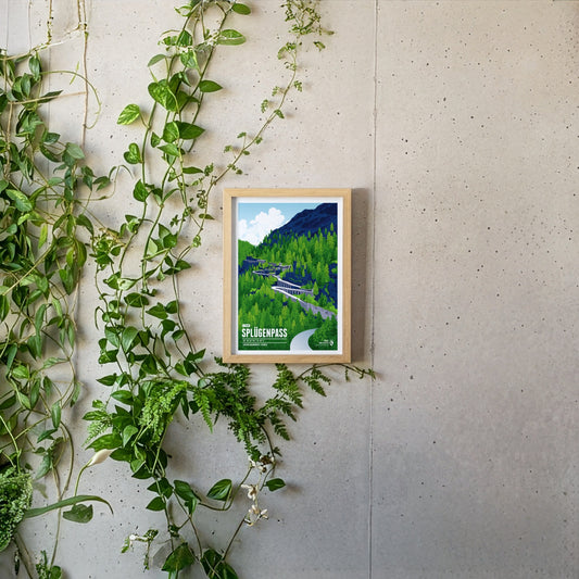
The Splügen Pass connects Switzerland with Italy and impresses with its many tight hairpin bends, historic tunnels and protective stone galleries that cling spectacularly to the rock. The winding pass road is particularly thrilling, turned into an unforgettable experience by these unique structures and the imposing Alpine landscape.
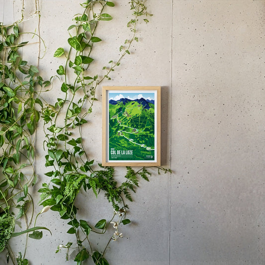
At 2304 metres, the Col de la Loze is one of the highest rideable passes in the French Alps and a legend of modern cycling. The summit between Méribel and Courchevel has only been accessible since 2019, via a paved cycle path closed to cars. Its difficulty lies less in its length than in its erratic profile: constantly changing gradients with ramps of over 20 per cent make any kind of pacing impossible. Part of the Tour de France since 2020, the climb is considered one of the toughest of the race – in 2023 it was here that Tadej Pogačar finally lost the Tour to Jonas Vingegaard.
The Julier Pass is a significant mountain pass located in the Swiss Alps, reaching an elevation of 2284 meters. It connects the Engadin valley in the canton of Graubünden with the rest of Switzerland and offers stunning vistas of the surrounding peaks. With its rich history as an ancient trade route and its modern importance as a major roadway, the Julier Pass attracts both travelers and outdoor enthusiasts alike.
Piz Medel is a peak in the Adula Alps, a part of the Lepontine Alps on the border between the Swiss cantons of Graubünden and Ticino. West of the summit is the Greina, an important Alpine pass between the two cantons, which was already used in ancient times. A number of huts are situated around the summit as starting points for tours around the mountain, among them the Medel Hut. As many other mountains in the area the Piz Medel is a worthwile destination for ski mountaineering.
The Piz Ault lies south of the Oberalpstock. Both mountains rise above the Vorderrhein valley and the town of Disentis. The ski lifts of the ski resort Disentis 3000 go up as high as 2800 meters, just below the summit of the Piz Ault. A popular stop in the summer and the winter is the hut of the Swiss Alpine Club Camona da Cavardiras west of the mountain, on the other side of the Brunni Glacier.
Pierra Menta is situated east of Albertville in the Beaufort region. The rougly 2700 meter high rock peak fascinates hikers and climbers alike, due to its characteristic shape. Pierra Menta is most of all known for the legendary skimountaineering race, which is named after the mountain and taking place in the area each year. It is one of the three most important races in the Alps in this sport.
Visible from far away, the Ötscher rises to a height of 1893 meters in the Ybbstal Alps, in the east of the Northern Limestone Alps. The Ötscher appears especially impressive when viewed from the north or south, when you can see the mountain massif in its full extension. The name of the mountain goes back to Slavic inhabitants, living in the area in the 9th century, who called the mountain “Othza” (father mountain). All year round Ötscher is a popular destination for hikers and climbers. The ski area Lackenhof is situated north west of the summit.
The Oberalpstock is one of the highest mountains in the Glarus Alps and rises between the northern Maderranertal in the canton of Uri and Surselva, the Vorderrhein valley in Graubünden in the South. Among the major characteristics of the mountain are its four ridges which meet close to the summit. The first ascent of the Oberalpstock was accomlished from the south eastern side, which is still the normal route today. Apart from hikers and climbers the mountain is also a popular destination for ski mountaineering.