The Lugauer rises far over 1000 meters west of the Radmer valley. The distinctive double summits western slope is not as steep and especially popular among many of the skiriders which visit the mountain each year. The great panorama from the summit is reflected in the name of the mountain. “Lug auer” in the local dialect can be translated as “look down”.
Les Diablerets (The Abode of Devils) lie on the border of the Swiss cantons of Valais and Vaud. The highest summit of the group, the Sommet des Diablerets, is also the high point of Vaud. Among the other major peaks of the group are the Oldenhorn, where the border of the third canton of Bern meets the other two, and the almost 3000 meter high Sex Rouge. The latter can be accessed via an aerial lift since the 1960s, which becomes part of the ski resort Glacier 3000 during the winter season.
The Lagginhorn is the second four-thousander in the Weissmies Group in Valais, close to the Italian border. It is also the lowest four-thousander in Switzerland. The ascent of the Lagginhorn is considered to be only slightly more difficult than that of the neighbouring Weissmies, which is only 7 metres higher. The popular normal route to the summit, which was already chosen for the first succesful ascent in 1856, starts in Saas-Grund in the valley and goes via the Weissmieshütte in about 2700 metres.
Situated nearby the four-thousanders of the Pennine Alps, the Jegihorn appears rather small. However the peak is a popular destination for climbers. The rope bridge on the via ferrata Jägihorn is particularly famous and opened from June to October. From the top of the Jegihorn a breath-taking panorama offers views of the neighbour summits of the Mischabel Group, the Bernese Alps, and the Rhône Valley.
In the east of Val Badia the summits of Sas dla Crusc rise into the sky. For Alpinists the mountain offers a broad range from easy to the most difficult routes. West of the summit the chapel Santuario di Santa Croce and the mountain refuge Hospiz dla Crusc are situated, which were both named after the mountain. The Sas dla Crusc is mentioned much earlier, for instance in the Ladin legend of the Kingdom of Fanes.
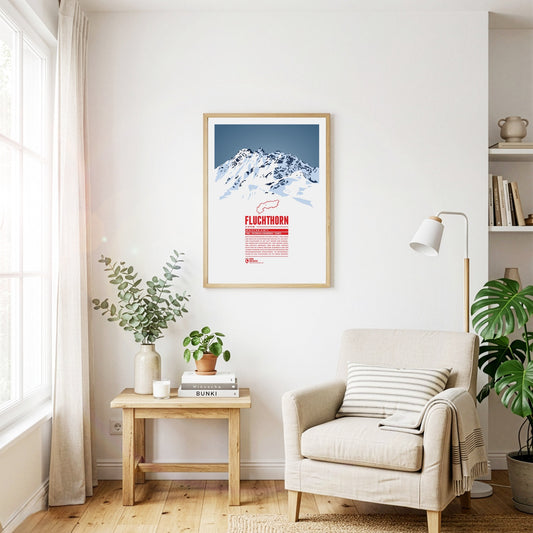
The Fluchthorn has three major peaks, of which the southern summit, Südliches Fluchthorn, was the highest at 3399 meters for a long time. However, after a massive rockfall on the southern summit in June 2023, which tore the summit cross with it, the middle peak, Mittleres Fluchthorn, has become the highest point of the mountain. Not only does the border between Austria and Switzerland run across the Fluchthorn peaks, but also the border between the German and Romansh language areas. In Romansh, the Fluchthorn is known as Piz Fenga.
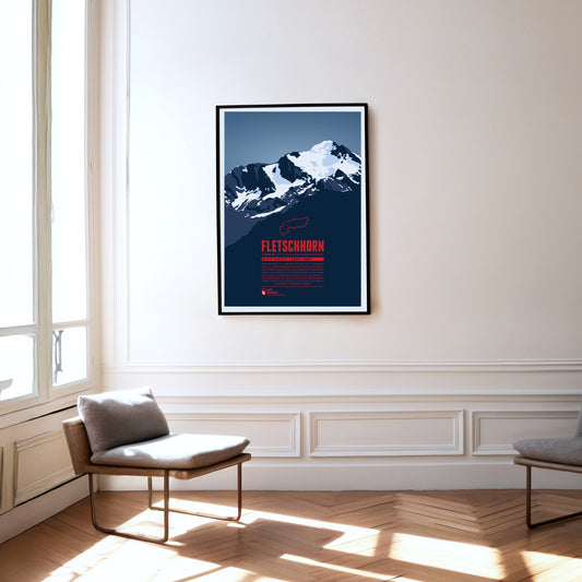
At the beginning of the 20th century the Fletschhorn was regarded as a four-thousander in the Alps. Due to the melting glaciers on the summit the elevation was updated to 3993 metres in the 1950s and 3985 metres in 2012. The Fletschhorn is the northernmost of the three great summits of the Weissmies Group. The Fletschjoch canyon separates it from the Lagginhorn in the south.
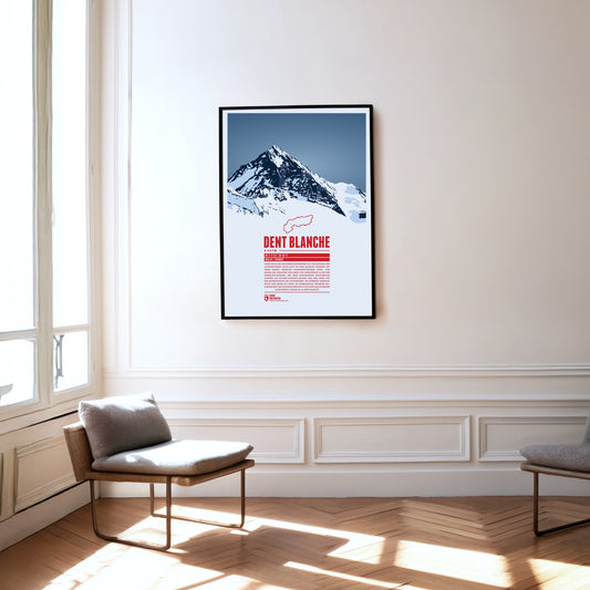
The southern neighbour Matterhorn steals a lot of the attention but the pyramid-shaped summit of Dent Blanche is most fascinating nonetheless. From here four ridges run almost perfectly towards the four cardinal points. The first documented ascent of Dent Blanche was accomplished in 1862, three years before the first ascent of the Matterhorn. The chosen route at the time from the south is still the normal route today. The hut of the Swiss Alpine Club Cabane de la Dent-Blanche is a popular starting point for summit attempts.
Three Swiss cantons border on the top of the Brienzer Rothorn. A cable car from Sörenberg in Lucerne almost reaches the summit from the northern side. In the winter the are is part of the ski resort Sörenberg / Rothorn. The mountain station of the other cable car, going up from Brienz in Bern from the south, is located about 100 meters below the summit. The Brienzer Rothorn is known for the Alpine ibexes which populate its slopes. One might spot the animals when following the route of the “Ibex Trek” starting at Sörenberg.
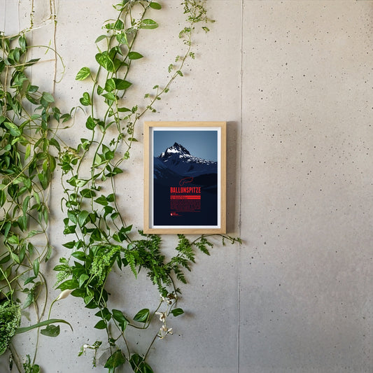
The Ballunspitze is well-known among the visitors of the ski resort Galtür, which is situated in Tyrol on the northern slopes of the mountain, near the town of Wirl. The chairlift Ballunspitzbahn gets you up to 2200 meters. West of the ski area, in Vorarlberg, the Kops water reservoir can be found, which was constructed in the 1960s. South of the Ballunspitze the Threethousanders of the Silvretta Alps dominate the view.
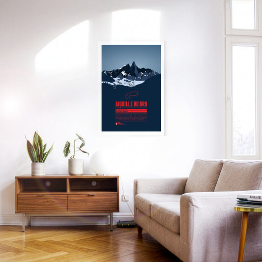
The two peaks of the Aiguille du Dru in the northern part of the Mont Blanc massif rise steeply into the sky of the French Alps. The Grand Dru is the higher summit. The Petit Dru is about 20 meters lower. The impressive shape of the mountain has fascinated generations of climbers in Europe, and notably in France. The first ascent of the Grand Dru was accomplished in 1878 via the south-east face.
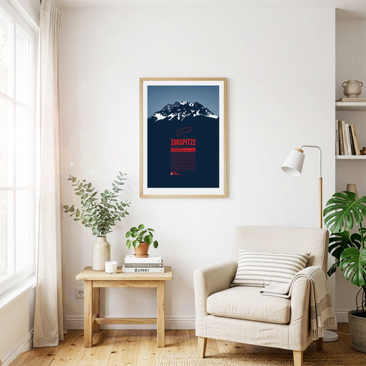
The Zugspitze is Germany's highest mountain and the highest peak of the Wetterstein Mountains. Below the summit there is a ski area and three glaciers which will probably disappear in the years to come in course of the climate change. An asteroid has been named after the Zugspitze. On the summit which can be reached with three different aerial lifts there is even a little theme park.
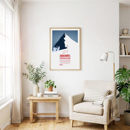
Das Zuckerhütl an der Grenze zu Südtirol ist einer der charakteristischsten Berge der Alpen. Seine Nordseite wird vom mächtigen Gletscher Sulzenauferner bedeckt, während er zum Süden hin hunderte Meter schroff abfällt. Von seinem Gipfel aus kann man bei gutem Wetter bis zum Ortler schauen, an seinen Hängen die Pisten des Stubaitals genießen.
Die Wildspitze ist der zweithöchste Berg Österreichs und der höchste Berg der Ötztaler Alpen. Durch die große Schartenhöhe ist die Aussicht von der Wildspitze praktisch nur durch die Erdkrümmung begrenzt und reicht von den Berner Alpen im Westen, mit Bietschhorn und Aletschhorn, bis zur Schobergruppe im Osten. Im letzten Jahrhundert war der Nordgipfel der höhere Gipfel der Wildspitze, dieser ist aber abgeschmolzen. Heute ist der Südgipfel der höchste Punkt des Berges.
Despite its comparatively modest height, the Wilder Kaiser is one of the landmarks of the Eastern Alps thanks to its prominence and easy accessibility. The Kaiser range is a popular destination for climbers and skiers alike. Pioneers such as Hans Dülfer developed entirely new climbing techniques here, and the "Wilder Kaiser/Brixental" ski area, one of the largest in Austria, extends across its slopes.
Legend tells that the Watzmann is a royal family, turned into stone after being cursed by a woman. As the central massif of the Berchtesgaden Alps it shapes the entire landscape of southeastern Upper Bavaria. The east face is one of the most fascinating challenges for climbers in the entire Alps.
The Tschingelhörner are a multi-peak mountain in the Glarus Alps. Like giant dwarves the peaks reside above a layer of Verrucano formation. This young rock formation rests on top of an older one, together forming the Glarus thrust, a famous geotope and UNESCO World Heritage Site. Even though the highest mountain of the Glarus Alps is the Tödi, the Tschingelhörner's unique shape make them a popular tourist destination as well.
Slovenia's highest mountain is an icon for the Eastern Alps and a national symbol shown on the country's coat of arms and the 50 cent coin. Triglav can sometimes still be spotted from a distance of 100 km. Slovenia's only national park is named after the mountain. The opening of the 2864 Bohinj ski resort as the largest Slovenian ski resort, combining both tourism and ecology is planned in the near future.
Thanks to its forward position and striking silhouette, the Traunstein is often called the guardian of the Salzkammergut – in good weather it can be spotted from over 150 km away. At 1691 m it may be small fry among the mountains of the Alps, but its beauty has always attracted prominent visitors. Emperor Franz Joseph came here regularly to hunt chamois.
The Tödi is the highest mountain of the Glarus Alps. Large parts of the mountain are glaciated which makes them hard to reach. The name is said to come from the Swiss German “d'Ödi” (“Ödnis” in Standard German, a wasteland) which transformed into Tödi over time. With a clear sky the view from the summit reaches up as far as Zürich, 70 kilometers in the distance.
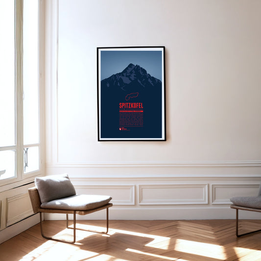
The Spitzkofel is the second-highest mountain in the Lienz Dolomites and is often described as the local mountain of Lienz. It consists mainly of limestone and shale and towers unmistakably above the Lienz basin. At its foot, at 1902 m, lies the Kerschbaumeralm, the starting point for the ascent of the mountain, which was inaugurated in 1926 with far-echoing gun salutes.
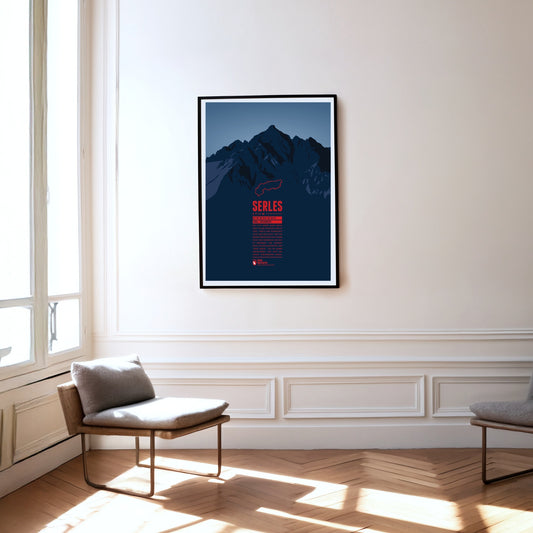
The 2717-metre Serles lies in the Stubai Alps in Tyrol. Thanks to its dominant position, the main summit and the two subsidiary peaks are clearly visible from Innsbruck in clear conditions. According to legend, the main summit, the "Serles giant", is a king turned to stone by God as punishment for his cruelty.
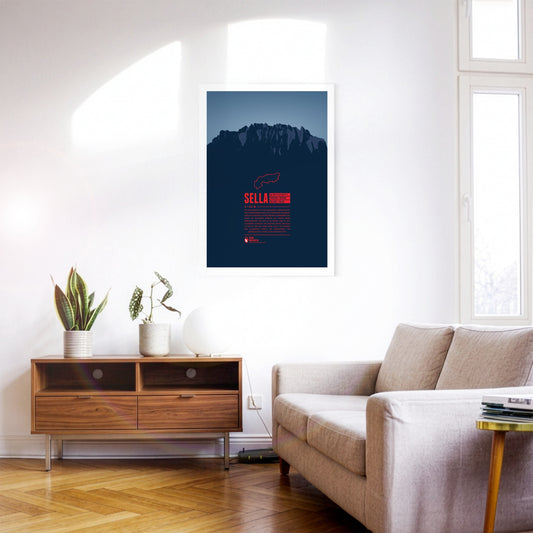
The Sella group is a very distinctive mountain massif in the Dolomites especially known for the Sellaronda. This ski circuit stretches over 42km, split into 26km on the slopes and 16km on lifts. The highest peak of the group is Piz Boè at 3,152m, which due to the compact shape of the whole group doesn't appear very prominently though.
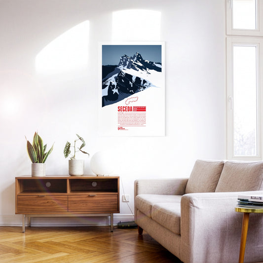
The Seceda lies in the Dolomites in South Tyrol, on the edge of the Puez-Odle Nature Park. From Ortisei in Val Gardena, the Seceda cable car runs up to the top station, about 70 metres below the summit. At the top the mountain offers a panoramic view over almost all of South Tyrol and beyond across Italy and Austria. The ski resort on the Seceda-Alm has one of the longest descents in the Dolomites: from just below the summit it runs more than 10 kilometres and over 1000 metres of vertical drop down to Ortisei.
At 2076 m, the Schneeberg is the highest mountain in Lower Austria and the easternmost two-thousand-metre peak in the Alps. After the Großglockner it has the greatest dominance of all Austrian mountains. In good visibility you can see the capital, Vienna, from the summit. For its residents the mountain is a popular destination close to home.
At 2563 m, the Schlern is one of the landmarks of South Tyrol and the Dolomites thanks to its distinctive shape. The mountain is celebrated, among other places, in the “Bozner Bergsteigerlied”, one of the unofficial anthems of South Tyrol. According to legend, the Schlern witches get up to mischief around the mountain, causing storms and other misfortune above all.
Located in the Ammergau Alps, on the German-Austrian border, Säuling is the landmark mountain of the town of Füssen, which is situated in the north west. The summit offers a spectacular view of the nearby lakes, and also of the two castles of Hohenschwangau and world-famous Neuschwanstein. Even though the Säuling's summit appears rather pyramid-shaped, its name is presumably derived from the German word “Säule” (pillar), since the mountain rises up steeply above the surrounding area.
Situated in northeastern Switzerland Säntis is the highest mountain of the Alpstein massif with a height of 2501 m. It is the thirteenth most prominent mountain in the entire Alps. On the summit the borders of three Swiss cantons meet. On a clear day you can see six of the eight Alpine countries from there.
Presanella is the highest mountain of the Adamello-Presanella range in the Italian Alps. The first ascent was made by the British Douglas William Freshfield on 25th August 1864. Since the identity of his companions remains under dispute Freshfield is often named as the sole first climber of the mountain.
Pizzo Coca is the highest mountain of the Bergamo Alps, a cliffy mountain range falling steeply down towards the north. It is one of the southernmost three-thousanders of the Italian Alps. From the summit you have a stunning view over northern Italy. To the north one can see Piz Bernina, the easternmost four-thousander of the Alps.
The Pizol is a 2844 m high mountain in the Glarus Alps in the Swiss canton of St. Gallen. The Pizol hiking and skiing area on the north side of the mountain was accessible via Switzerland's oldest gondola lift, which has been replaced in 2007 with a modern lift. The Pizol is also a popular starting point for ski mountaineers.
Piz Palü is a well renowned mountain for cineasts. The movie “The White Hell of Pitz Palu” from 1929 portrays a mountaineer looking for the dead body of his wife who was hit by an avalanche. The name is probably derived from the Latin word “palus”, meaning “swamp”. The mountain than was named after the pasture Alpe Palü which lies four kilometers east of the summit.
Piz Buin is one of the most distinctive mountains of the Montafon, an Ill-valley in Vorarlberg. Being part of the Silvretta range the Austrian-Swiss border runs along the mountain summit. The Ill's headwaters are two glaciers on the Austrian side of the mountain. The ascent to the mountain becomes more difficult with the shrinking glaciers. During winter time however one can ski on beautiful trails all the way from the summit into the valley.
Piz Bernina is the only four-thousander in the Eastern Alps and the most isolated mountain in Switzerland. The first ascent was made by Johann Coaz in 1850. His journal entries show his love for the Alps: “Serious thoughts took hold of us. Greedy eyes surveyed the land up to the distant horizon, and thousands and thousands of mountain peaks surrounded us, rising as rocks from the glittering sea of ice. We stared amazed and awe-struck across this magnificent mountain world.”
The Peitlerkofel, or ”Sass de Pütia” in Ladin, is situated in the northern Dolomites. The two Summits, “Grosser Peitler” and the 60 meter lower subpeak “Kleiner Peitler”, rise up steeply between Val Badia and Villnöß valley. The Kleiner Peitler can be reached on a hike. In the south climbers find easy routes to the summit of the Grosser Peitler, which offers one of the greatest views in the Dolomites.
South Tyrol's highest summit is one of great historic importance. The first ascent took place in 1805 by command of the Archduke John of Austria, being one of the milestones of Alpinism. During World War I Austria-Hungary installed cannonry on the summit, the remains of which can still be seen by mountaineers today. The origin of the name is a matter of dispute. A legend tells that the mountain once was a giant turned into stone in rage over having been defeated by a dwarf.