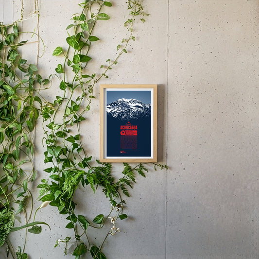
Aconcagua is the highest mountain in South America and also Earth's highest mountain outside of Asia and in the Southern and Western Hemisphere. It is believed to have been a holy mountain for the Inca. The first known ascent of Aconcagua took place in 1897. Being one of the Seven Summits it is a very popular destination for mountaineers from all over the world. Climbing Aconcagua is not particularly difficult and hardly requires any advanced climbing skills. The ascent is not free of risks, though. Low temperatures, strong winds, and altitude sickness can challenge climbers, especially on the upper part of the mountain.
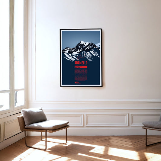
Der Monte Adamello ist nach der Presanella der zweithöchste Gipfel der gleichnamigen Gebirgsgruppe auf der Grenze zwischen Lombardei und Trentino. Die West- und die Nordwand des Adamello ragen steil zum Gipfel empor, während der Berg nach Südosten hin flacher abfällt. Der Adamello liegt im Naturpark Parco regionale dell’Adamello, der im Osten direkt an den etwas grösseren Parco naturale Adamello-Brenta grenzt. Neben Steinböcken und Gämsen lassen sich hier gelegentlich grössere Greifvögel wie Steinadler und Bartgeier und selten Braunbären blicken.
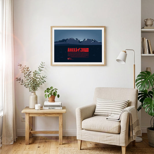
Áhkká is situated in northern Sweden, in the Stora Sjöfallet national park. It is also known as the “Queen of Lapland”. The mountain massif is dominating its surrounding area and is of high importance in the Sami culture. Its name refers to the mother goddess Maderakka. The summit region of the Áhkká-massif consists of twelve peaks with Stortoppen being the highest. Nordosttoppen (north east peak) also reaches a height of over 2000 meters. The first recorded ascent of Stortoppen was accomplished in 1924.
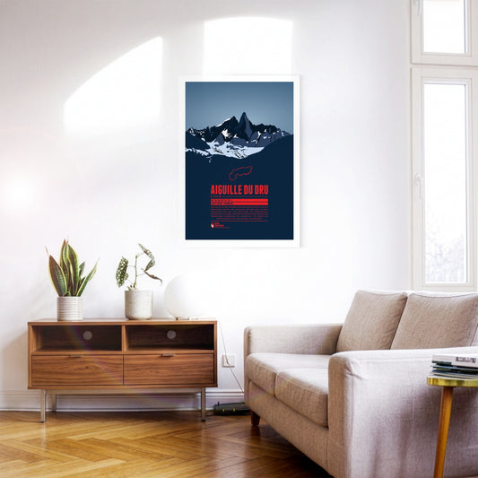
The two peaks of the Aiguille du Dru in the northern part of the Mont Blanc massif rise steeply into the sky of the French Alps. The Grand Dru is the higher summit. The Petit Dru is about 20 meters lower. The impressive shape of the mountain has fascinated generations of climbers in Europe, and notably in France. The first ascent of the Grand Dru was accomplished in 1878 via the south-east face.
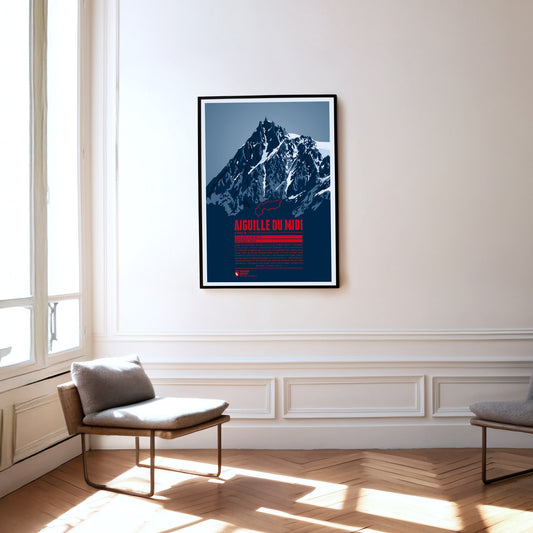
South of Chamonix, the peak of Aiguille du Midi towers in the Mont Blanc massif. It offers a magnificient view and is the starting point for various climbing routes to the surrounding four-thousander peaks, most of all the famous Mont Blanc. A cable car has been running up the Aiguille du Midi since 1955, making the summit, which is now equipped with restaurants and tourist shops, easy to reach. The highest peak of the Aiguille du Midi was climbed for the first time in 1856. Nowadays, the south face is particularly popular for its many climbing routes.
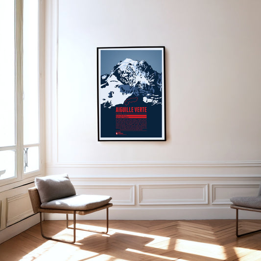
The Aiguille Verte, the “Green Needle”, is located in the Mont Blanc massif, east of Chamonix. With its rocky, pointed shape, it lives up to its name. The Aiguille Verte's massive rock face makes it one of the most challenging mountains to climb in the Alps. In some places the gradient reaches up to 55°, which is why even the normal route through the Whymper Couloir should not be underestimated. Additionally the mountain massif is surrounded by glaciers, which makes the ascent routes even more difficult.
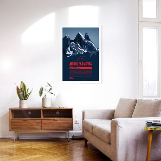
Die Felsnadeln der Aiguilles d'Arves erheben sich in der Maurienne, im Osten von Grenoble. Die südliche Spitze, Aiguille Méridional, ist dabei die höchste Erhebung. Es folgen die nur ein Meter niedrigere Aiguille Centrale und etwas abgesetzt, weiter im Norden die auch als „Tête de Chat“, also Katzenkopf, bezeichnete Aiguille Septentrionale. Da es viele eher zum berühmten und populären Écrins-Massiv im Süden zieht, sind die Aiguelles d'Arves inzwischen eine Art Geheimtipp für alle, die eher einsame Berg- und Klettertouren suchen.
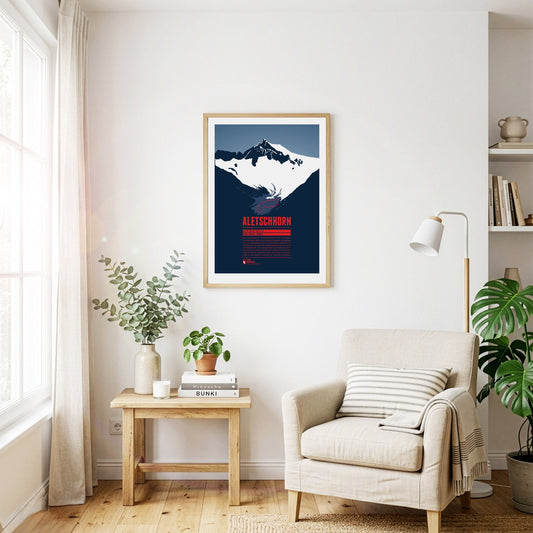
Das Aletschhorn ist der zweithöchste Gipfel der Berner Alpen und wird häufig als kältester Alpenberg beschrieben, da es in besonderem Maße kalten Winden ausgesetzt ist. Von der Spitze aus hat man eine atemberaubende Aussicht auf die umliegenden Drei- und Viertausender der Berner und Walliser Alpen. Rund um das Aletschhorn liegen die Aletschgletscher, die früher verbunden waren. Der Große Aletschgletscher ist der größte Gletscher im gesamten Alpenraum.
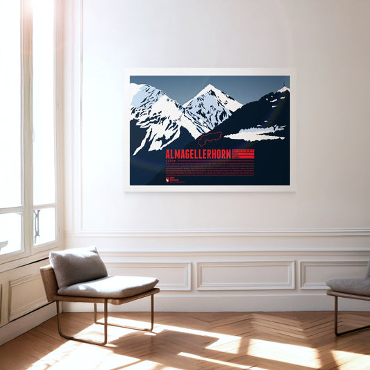
Durch seine Lage nahe vieler Viertausender der Walliser Alpen ist das Almagellerhorn nicht der auffälligste Gipfel der Region. Dabei hätte der formschöne Berg, der von Saas Fee aus als perfekte Felspyramide erscheint, alle Aufmerksamkeit verdient. Auch der Aufstieg, der nicht allzu schwierig ist, lohnt sich, denn vom Gipfel des Almagellerhorns hat man eine tolle Aussicht auf die umliegenden Gipfel und Gebirgszüge wie Weissmies im Norden, Stellihorn im Süden und natürlich im Westen die Gipfel von Mischabelgruppe und Monte Rosa.
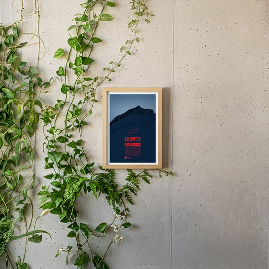
The Alpspitze is located in the Wetterstein mountains close to Germany's highest mountain, the Zugspitze. In spite of its low prominence the mountain's unique pyramid shaped peak makes it one of the most iconic mountains of the Northern Limestone Alps and one of the best-known landmarks of nearby Garmisch-Partenkirchen.
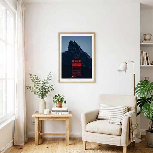
The Altmann rises steeply almost 1000 metres over the valleys of the Alpstein. The second highest summit of the Appenzell Alps is a classic climbing mountain. The view from the top is impressive and goes from Lake Constance, over the Rhine valley, the Allgäu Alps, the Rätikon, the Silvretta Alps, up to the Bernese Alps, and Lake Zurich. Around the Altmann you have a fairly good chance to meet Alpine ibexes, which are widespread in the area.
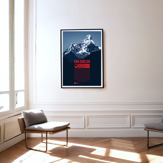
Als „Matterhorn des Himalaya“ wird die Ama Dablam gelegentlich bezeichnet, doch dieser markante Gipfel setzt ganz eigene Schönheitsmaßstäbe. Auf dem Weg zum Everest Base Camp dominiert der Berg lange Zeit das östliche Panorama der Wanderer und Bergsteiger. Wie die Arme einer fürsorglichen Mutter oder „Ama“ reichen die auffälligen Grate vom Gipfel nach unten. Der dazwischen hängende Gletscher erinnert an einen sogenannten „Dablam“, einen traditionellen Anhänger der Sherpa-Frauen. Hinter Everest und Cho Oyu ist die Ama Dablam der populärste Berg für Kletterer im Himalaya. Im Gegensatz zum höchsten Berg der Erde, der vor allem im Mai bestiegen wird, ist an der Ama Dablam der Herbst die beliebteste Aufstiegssaison.
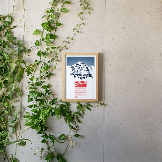
Annapurna I ist der zehnthöchste Berg der Erde und die höchste Erhebung im nepalesischen Annapurna-Massiv, das sich über gut 55 Kilometer erstreckt und etliche Sechs- und Siebentausender enthält. Die Bezeichnung Annapurna geht auf die hinduistische Erntegöttin zurück, deren Name sich aus den Begriffen „anna“ (Nahrung) und „purna“ (gefüllt) zusammensetzt. Annapurna I wurde bereits 1950 als erster Achttausender bestiegen. Doch erst 1970 folgte die zweite erfolgreiche Besteigung über die etwa 3000 Meter hohe Südwand, die als eine der schwierigsten Kletterrouten überhaupt gilt.
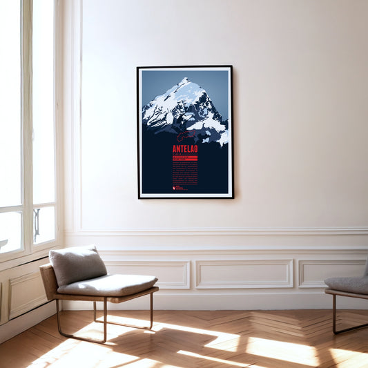
Während die Marmolata als Königin der Dolomiten gilt, ist Antelao ihr König. Für die Gebirgsgruppe eher ungewöhnlich, ragt der Berg als freistehende Felspyramide im Südosten von Cortina d'Ampezzo majestätisch in die Höhe. Zusammen mit dem westlich gelegenen Monte Pelmo bildet der zweithöchste Dolomitengipfel ein riesiges Eingangsportal in das Val di Cadore.
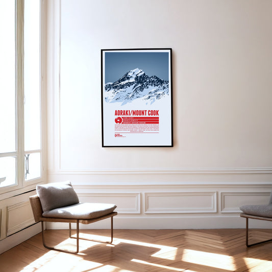
According to a Maori legend Aoraki was the tallest of three brothers who stranded with their canoe and were turned into stone. The mountain is the high point of New Zealand, in the Southern Alps. The British named the mountain after explorer Captain James Cook. In 1998 it was officially named Aoraki / Mount Cook to also honor the native name of the mountain.
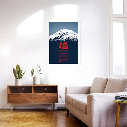
Up to this day there is still a strong belief by some that Mount Ararat is the resting place of Noah’s Arc. With over 5000 meters in elevation the dormant volcano is the highest mountain in Turkey, situated in the east of the country, close to the borders to Armenia, Iran and Azerbaijan. In Turkish the mountain is known as Ağrı Dağı. Right next to it the Little Ararat rises to 3896 meters. The ascent of Ararat was tried many times since the middle ages. Yet, only in 1829 the first expedition finally reached the summit. Climbing Ararat in the winter is still rarely undertaken, since it is much more difficult. due to low temperatures and severe storms on the mountain.
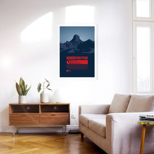
Baboquivari Peak, in southern Arizona, is the highest point in the Baboquivari Mountains and the Baboquivari Peak Wilderness. The mountain top rises up sharply and is a popular destination for tourists and climbers. The Kitt Peak National Observatory lies close-by. Baboquivari Peak is of particular importance for the native Tohono O’odham people. According to their believe the creator I'itoi resides in a cave below the mountain base.
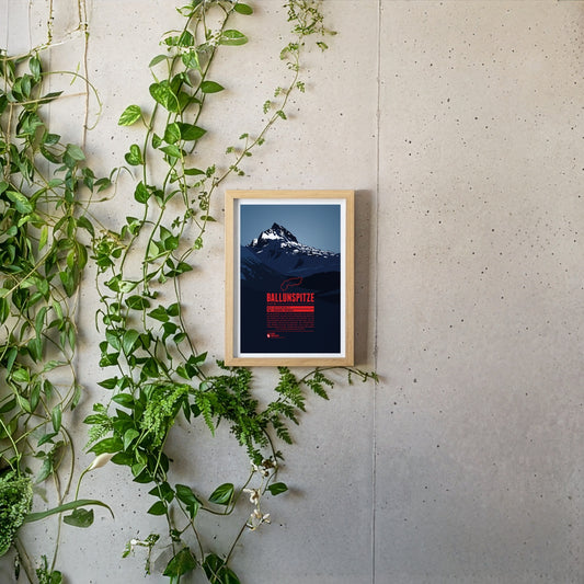
The Ballunspitze is well-known among the visitors of the ski resort Galtür, which is situated in Tyrol on the northern slopes of the mountain, near the town of Wirl. The chairlift Ballunspitzbahn gets you up to 2200 meters. West of the ski area, in Vorarlberg, the Kops water reservoir can be found, which was constructed in the 1960s. South of the Ballunspitze the Threethousanders of the Silvretta Alps dominate the view.
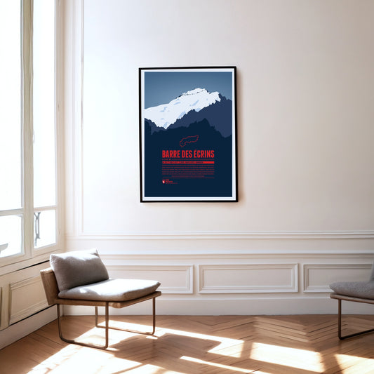
The Barre des Écrins is the Alps' western- and southernmost four-thousander, situated in the Dauphiné-Alps, a wild and rough region in southeastern France. The mountain's north face is covered by the mighty Glacier Blanc, which climbers usually pass on their way to the summit. There are no classic Alpine ski resorts around the mountain but La Grave in the north of the Barre des Écrins has become one of the centers for freeriding and extreme skiing in the Alps.
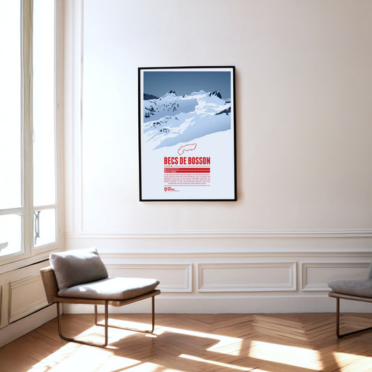
Situated in the Pennine Alps in the Swiss canton of Valais the main summit of the Becs de Bosson, the Grand Bec, rises up to 3149 metres. The subpeak, Petit bec, is only 20 centimetres lower. The mountain chalet Cabane de Becs de Bosson at an altitude of 2983 metres is the starting point or rest stop for many climbers attempting to reach the summit.
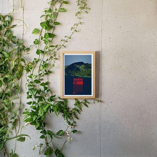
Ben Nevis, east of Fort William, is the highest mountain in Scotland and Great Britain. The Gaelic name “Beinn Nibheis” can be translated as “mountain with its head in the clouds”. The summit of the former volcano is covered in fog or rain 300 days a year due to its maritime location. The weather conditions pose a severe risk for mountaineers. The first documented ascent of Ben Nevis took place in 1771. Today it is one of the world's most frequented peaks. The 700 meter high northeast face is particularly popular for ice climbing.
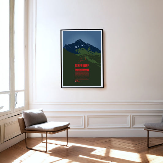
The Biberkopf (beaver's head) rises at the end of the main ridge of the Allgäu Alps and is considered to be Germany's most southern mountain. The border to Austria runs along the distinctive summit. The name of the mountain goes back to larger beaver colonies that populated the nearby Lechtal and the surrounding high moors. Beavers are also part of the traditonal womens' costumes of the area which include beaver hats.
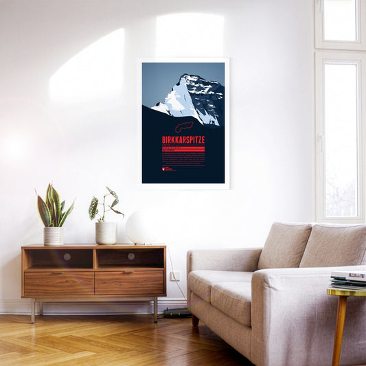
Die Birkkarspitze ist der höchste Berg des Karwendels. Gemeinsam mit den drei westlich des Gipfels gelegenen Ödkarspitzen bildet sie ein beeindruckendes Massiv. Nördlich der Birkkarspitze zieht sich das Karwendeltal. Durch seine Länge und den sanften Anstieg ist es zum Mountainbiken ideal. Auch ausgedehnte Skitouren in beeindruckendem Panorama sind dort beliebt.
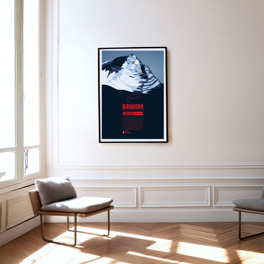
Das Birnhorn ist die höchste Erhebung der Leoganger Steinberge und zählt zu den 30 prominentesten Alpengipfeln. Fast 2 000 Meter erhebt sich das Birnhorn über dem Tal der Leoganger Ache in seinem Süden. Die etwa 1 400 Meter hohe Südostwand des Berges ist eine der höchsten Felswände der Ostalpen, die sogar mit der berühmten, nahegelegenen Ostwand des Watzmann verglichen wird.
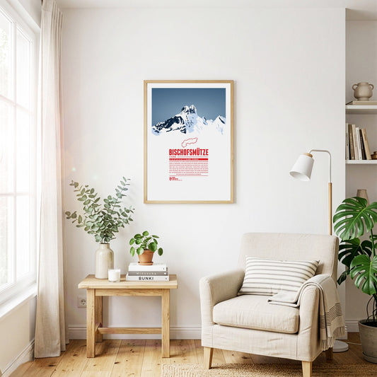
The Bischofsmütze, German for “bishop's hat”, owes its name to the distinctive shape of the double summit. The border between the Archduchy of Austria and the Archdiocese of Salzburg ran along the mountain, until the beginning of the 19th century. The mountain was said to keep watch over the Eastern Pongau region, which was administered by the Archbishop of Salzburg. Even though in 1993 the Bischofsmütze lost a 200 meter cliff wall in a massive rock slide, which changed the mountain's appearance significantly, it remains a popular destination for mountain climbers since the first ascent, made in 1879.
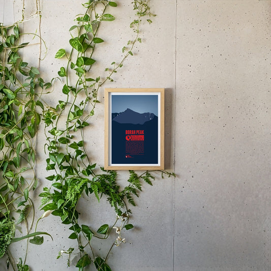
Borah Peak is Idaho's highest mountain and the highest peak of the Lost River Range in the Rocky Mountains. It is surrounded by many of the other highest mountains of the state, like Mount Idaho or Leatherman Peak. Borah Peak was named after William Borah, a long-term serving US-senator from Idaho. On the way to the summit one has to cross passages, usually covered with ice and snow, year-round, which makes ascending the mountain quite challenging. The first successful recorded ascent was made in 1912.
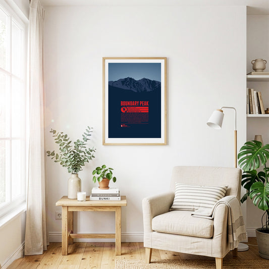
Boundary Peak in the White Mountains, east of the Sierra Nevada, is the highest natural point in Nevada. The summit got its name because it is siutated only one kilometre from the state border to California. Boundary Peak is generally considered not to be an independent mountain, but a sub-peak of the significantly higher Montgomery Peak (13441 ft) on the Californian side of the White Mountains. Thus Boundary peak has a relavively low prominence of only 253 feet.
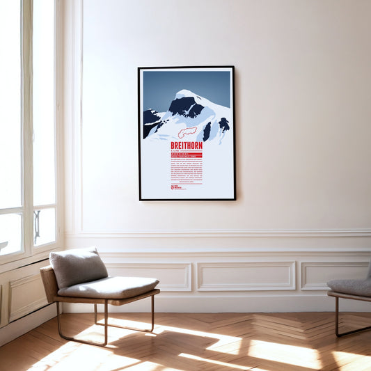
Das Breithorn ist ein Gebirgszug der Penninischen Alpen mit dem gleichnamigen höchsten Gipfel, der an der Grenze zwischen der Schweiz und Italien liegt. Er befindet sich auf der Hauptkette der Alpen, etwa auf halber Strecke zwischen Matterhorn und Monte Rosa und östlich des Theodulpasses. Der größte Teil des Massivs ist vergletschert und umfasst mehrere Nebengipfel, die alle östlich des Hauptgipfels liegen: das Zentrale Breithorn, der westliche Breithornzwilling, der Gendarm und die Roccia Nera.
Three Swiss cantons border on the top of the Brienzer Rothorn. A cable car from Sörenberg in Lucerne almost reaches the summit from the northern side. In the winter the are is part of the ski resort Sörenberg / Rothorn. The mountain station of the other cable car, going up from Brienz in Bern from the south, is located about 100 meters below the summit. The Brienzer Rothorn is known for the Alpine ibexes which populate its slopes. One might spot the animals when following the route of the “Ibex Trek” starting at Sörenberg.
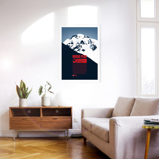
Broad Peak ist der zweithöchste Achttausender der Gasherbrum-Gruppe. Südöstlich des K2 erheben sich Nord-, Mittel- und schließlich der Hauptgipfel. Der lange Gipfelgrat des gewaltigen Bergs erinnerte den britischen Namensgeber William Martin Conway an das Breithorn in der Schweiz, sodass er dessen Namen einfach ins Englische übertrug. Der polnischen Bergsteiger Maciej Berbeka wurde 1988 mit der Besteigung des Broad Peak-Vorgipfels (Rocky Peak) auf 8028 Metern zum ersten Menschen, der im Winter auf über 8000 Meter Höhe aufsteigen konnte.
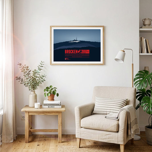
The Brocken is the highest peak of the Harz and is also considered to be the high point of Northern Germany. Since 1899 the summit can be accessed via the Brocken Railway. The mountain, which is often covered in fog, is also known under the name Blocksberg and lots of myths and legends are known about the Brocken. Some said it was a gathering point for witches. The optical illusion Brocken spectre, usually occuring during foggy periods, also played its part for the creation of many of the stories.
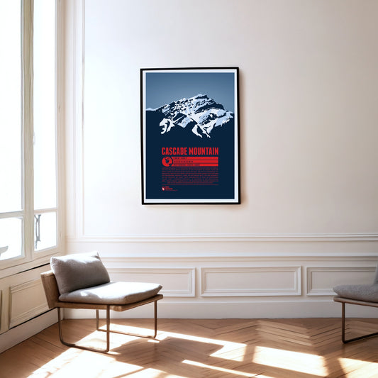
Cascade Mountain is a familiar sight for visitors to Banff in Alberta. The foot of the mountain reaches almost to the town boundary in the north, and pictures of Banff Avenue in the centre often show the peak rising impressively above the town in the background. Like its present-day name, the Indigenous name "Minihapa" ("mountain where the water falls") refers to the waterfall on the mountain's southern flank. Among locals the name "Stoney Chief" is also common, echoing the neighbouring mountain "Stoney Squaw". The nearby Norquay Ski Area is a popular starting point for the ascent to the summit.
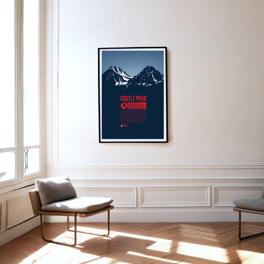
Castle Peak, in the centre of Idaho, is the highest mountain in the White Cloud Mountains, a range within the Rocky Mountains. It rises above nearby Merriam Peak to the north. On clear days you can see more than 25 lakes from the summit. The Bald Mountain, Dollar Mountain and Soldier Mountain ski areas are close by. With a climbing grade of III, the ascent to the summit is best left to experienced mountaineers.
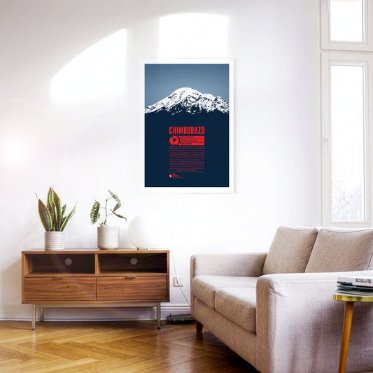
When standing on top of Chimborazo you have reached the farthest point on our planet's surface from the inner core of Earth, thanks to the location of the mountain close to the equator. Ecuador's highest peak is one of the most prominent summits on the planet with over 4000 meters in topographical prominence. There is no higher mountain on the American continent north of Chimborazo. Until the beginning of the 19th century it was even assumed to be Earth's highest mountain above sea level. This lead to numerous summit attempts by Europeans. Yet, the first successful climb to the mountain top was only accomplished in 1880.
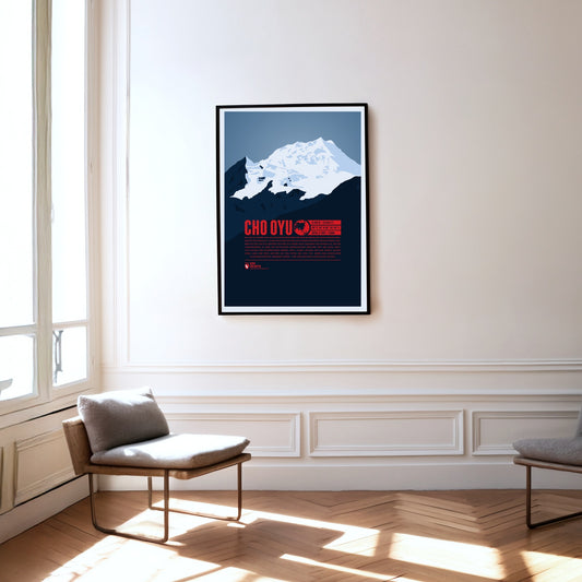
Der Cho Oyu erhebt sich als sechsthöchster Berg der Erde im Westen des Mahalangur Himal, dem Teil des Himalaya, in dem auch der nur etwa 20 Kilometer entfernte Mount Everest liegt. Westlich des Cho Oyu befindet sich der 5716 Meter hoch gelegene Pass Nangpa La, der seit Jahrhunderten zu einer der wichtigsten Handelsrouten zwischen Tibet und Nepal zählt. 1954 gelang den Österreichern Herbert Tichy, Joseph Jöchler und dem Sherpa Pasang Dawa Lama der erste Aufstieg auf den Gipfel des Cho Oyu, wobei kein zusätzlicher Flaschensauerstoff verwendet wurde – eine unglaubliche alpinistische Leistung.
The Churfirsten form a striking mountain range in the Appenzell Alps in the Swiss canton of St. Gallen. Of its seven summits, the Hinterrugg is the highest at 2306 m. While the range tapers off relatively gently to the north, to the south it drops steeply down to the Walensee at an altitude of around 420 m.