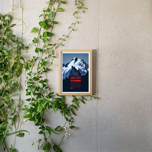
Cima d'Asta is the highest peak of the mountain massif of the same name and thus also the highest point in the Fiemme Mountains The mountain is located in a rather remote part of the Dolomites, away from the main tourist routes. The rock of the Cima d'Asta consists of granite, which sets it apart from the surrounding mountains, which are mainly characterized by reddish volcanic stone.
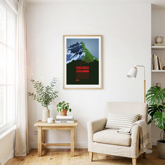
Cima Dodici (or Cima XII) is the highest point of the province of Vicenza and the Vicentine Alps, which rise northeast of Lago di Garda. The border with the province of Trento runs across the summit. In German, the mountain is also known as Zwölferkofel. Since Cima Dodici is easily accessible from all directions it is a popular destination for mountain hikes in the summer and ski tours in winter.
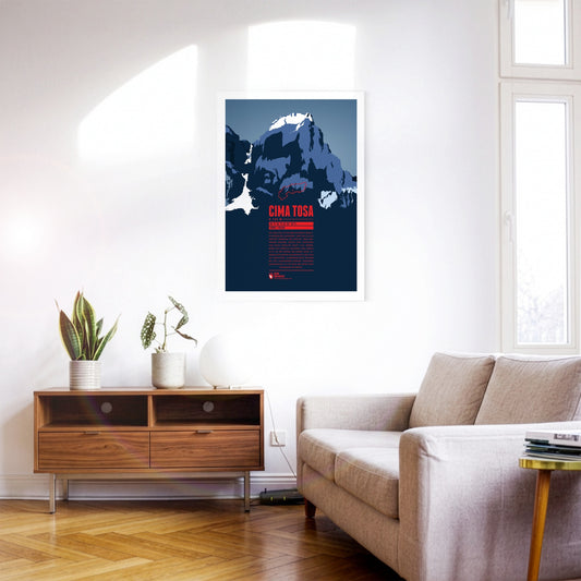
Cima Tosa is a mountain in the Brenta Group, north of Lago di Garda. It was once considered the highest point in the massif. However, new measurements revealed a summit height of just under 3 136 meters, making Cima Brenta (3 151 m) in the north the higher of the two peaks. Nevertheless, Cima Tosa is a fascinating huge, snow-covered rock tower with steep walls. The north face of the mountain, which is around 800 meters high, is particularly impressive.
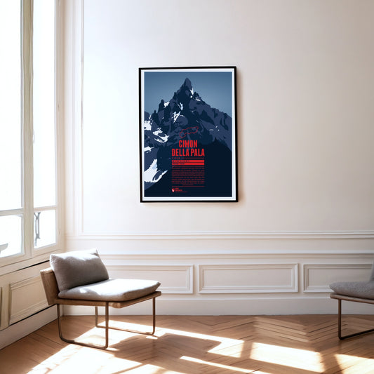
The summit of the Cimon della Pala is a striking rock pyramid, which is why the mountain is also known as the ‘Matterhorn of the Dolomites’. There is a particularly fine view of the summit and the surrounding peaks of the Pala group from the Passo Rolle at almost 2000 metres. The normal route to the top follows the east ridge, but was not climbed for the first time until 1989. The first ascent of the mountain in 1870, by contrast, took the line up the north face.
The perfect volcanic cone of Cotopaxi rises in the Andes close to the equator. The mountain is one of the highest active volcanoes on Earth. Over 80 eruptions have been documented over the past 500 years, with the last major eruption from 1903 to 1904. The first European who tried to climb to the summit was Alexander Humboldt in 1802. He had to turn around though after reaching a height of about 4500 meters. Thus 70 years later Wilhelm Reiss and Angel Escobar achieved the first documented ascent of Cotopaxi.
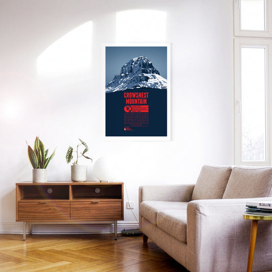
Crowsnest Mountain is a massive rock tower on the eastern side of the Rocky Mountains. The monolith raises south of the Seven Sisters. Further south is highway 3 which offers some spectacular views of the mountain. The name goes back to the native Cree who named the rock after the black ravens - not crows - which were nesting in the area.
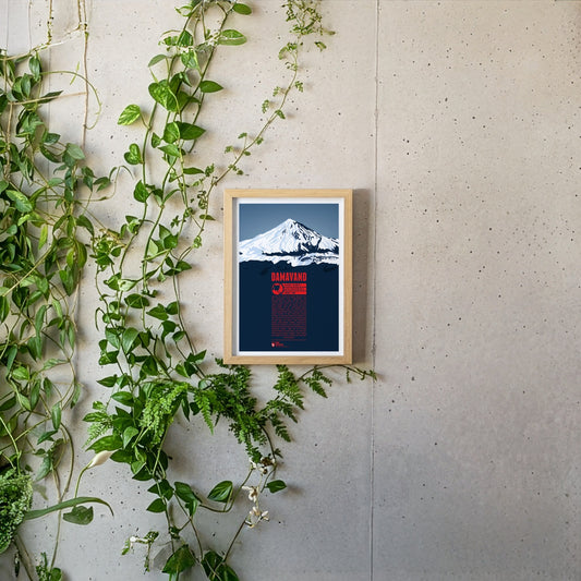
South of the Caspian Sea lies Damavand, the highest mountain of Iran and the highest volcano of Asia, making it one of the Volcanic Seven Summits. This is reflected in the name, which can be translated as “the smoking mountain”. Being the second most prominent summit in all of Asia, after Mount Everest, Damavand is visible from a great distance. In the Persian culture countless myths and legends around Damavand can be found. The mountain is often seen as a symbol against different forms of tyrannic rule and it is still an important symbol for Iranians today. There are more than a dozen known routes to the summit. The first recorded ascent took place as early as 905.
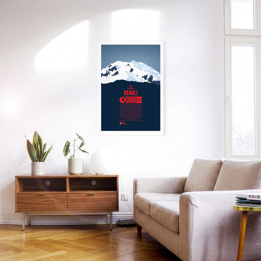
Denali is North America's highest mountain, and the third most prominent peak on the planet. It was long known as Mount McKinley before formally being named Denali in 2015, the native name of the mountain, meaning “the tall one”. The first successful summit ascent was recorded in 1913. Today the mountain is climbed frequently. Not only is it one of the Seven Summits. Its cold temperatures and harsh winds also make it a great destination for climbers who want to prepare for Himalaya expeditions.
The southern neighbour Matterhorn steals a lot of the attention but the pyramid-shaped summit of Dent Blanche is most fascinating nonetheless. From here four ridges run almost perfectly towards the four cardinal points. The first documented ascent of Dent Blanche was accomplished in 1862, three years before the first ascent of the Matterhorn. The chosen route at the time from the south is still the normal route today. The hut of the Swiss Alpine Club Cabane de la Dent-Blanche is a popular starting point for summit attempts.
The Dent du Géant (the Giant's Tooth) is part of the Mont Blanc massif on the border between France and Italy. The northeast summit which rises up steeply gave the mountain its name. The lower southwest summit is also just above the 4000 meter mark.
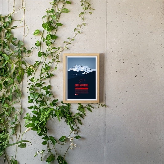
The Dents du Midi are a mountain range which spans over three kilometers in the Swiss Canton of Valais. The seven peaks, all of which reach a height of about 3,200m, offer magnificient views both of Lake Geneva and the Rhône plains and are habitat for diverse plant and animal life, making them a popular destination for hikers and mountaineers.
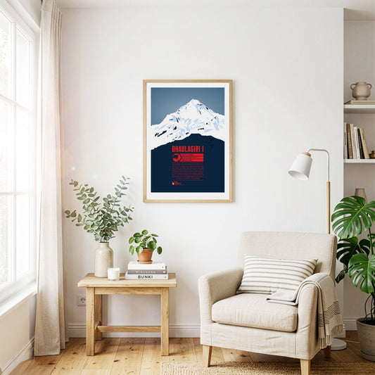
Dhaulagiri is the seventh-highest mountain on earth and the highest summit that does not lie on a national border. The Kali Gandaki river flows between Dhaulagiri and the Annapurna massif to the east, forming what is probably the deepest river valley in the world. Visible from far away, Dhaulagiri was surveyed as early as 1808 and was at that point the highest recorded mountain in the world. Only 30 years later did Kangchenjunga in India take that place. The first ascent of Dhaulagiri in 1960 was the second to last of an eight-thousand-metre peak.
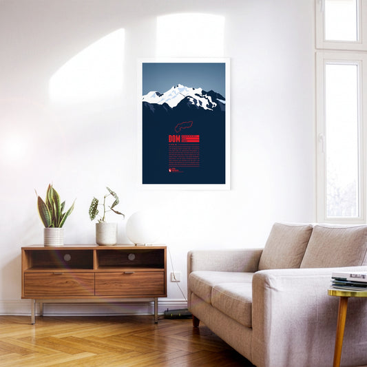
With 4545 metres the Dom is the highest mountain with its entire base completely located in Switzerland. The view from the top offers a spectacular panorama far into the country and over the Monte Rosa massif due to the mountain's high prominence. The Dom is named after the Canon of the Sitten cathedral (in German: "Dom") who took part in the first official surveys of the area. The ski resort “Saas-Fee” is only six kilometres away, and even in the summer allows for some of the highest and most beautiful ski-runs in the entire Alps.
These three peaks of the Sesto Dolomites are a popular destination for mountaineers. It was here that many developments of mountaineering began, for example the discipline of sport climbing. Unfortunately, part of their popularity can be traced back to World War I. At the time, the area around the battlements was fiercely contested, the remains of which can still be found around the three peaks today.
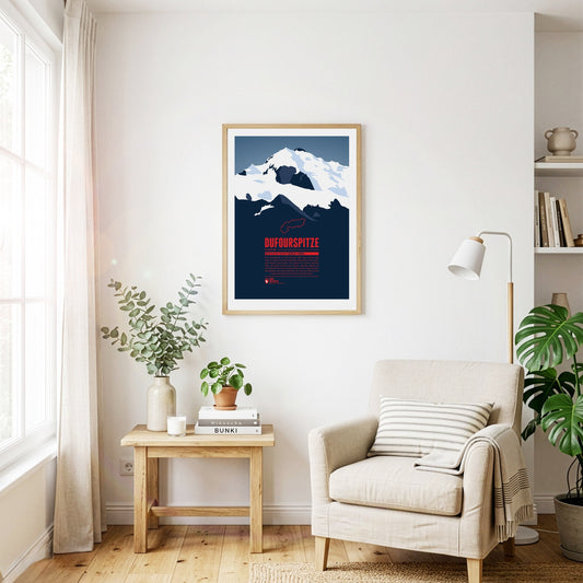
The Dufourspitze is the highest mountain of Switzerland and the highest peak of Monte Rosa, one of the Alps' most impressive mountain massifs. The Swiss-Italian border runs along about 100 m east of the summit. The mountain is named after Guillaume-Henri Dufour, a Swiss general and topographer who published the first official map of Switzerland in 1845.
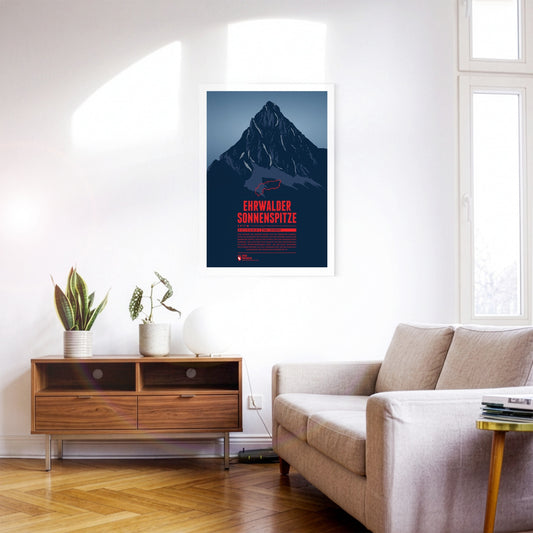
Seen from the north the Ehrwalder Sonnenspitze rises as a distinctive stone pyramid in front of the other summits of the Mieming Range. East of the summit is the beautiful lake Seebensee, which offers a great view onto the Zugspitze in the Wetterstein mountains. The Alpine hut Coburger Hütte at the Drachensee in the south is a popular starting point for summit attempts of the Sonnenspitze.
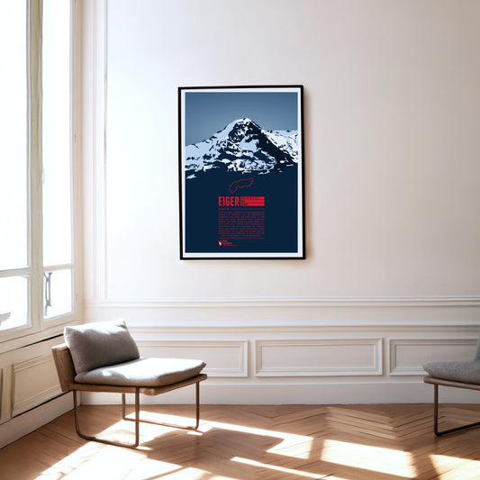
The Eiger in the Bernese Alps is forming one of the most famous Alpine mountain ridges, together with Mönch and Jungfrau. The Eiger is especially known for its 1800 metre high north face which has been described impressively in A.W. Moore's standard work ‘The Alps’ in 1864: “Of the thousands who annually pass under the shadow of this magnificent wall, which in height and steepness alike excels the corresponding face of the Wetterhorn, few have failed to be impressed with its rugged and precipitous character.”
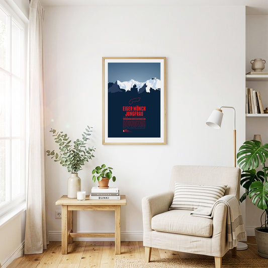
Eiger, Mönch, and Jungfrau form one of the most famous and characteristic mountain groups in Switzerland and in the whole Alpine region. The Jungfrau in the West is the highest of the three summits. Since 1912 a rack railway, which has been named after the Jungfrau, is making its way up via Eiger and Mönch to Europe's highest railway station Jungfraujoch on 3454 metres.
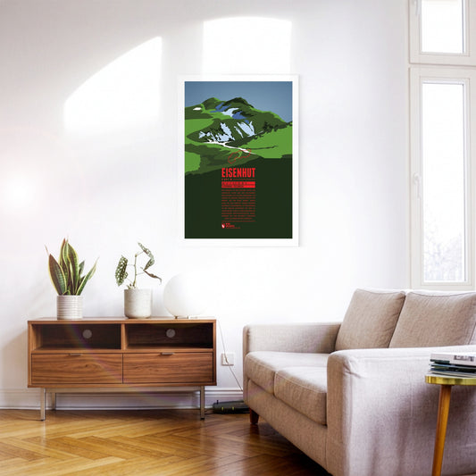
Eisenhut, “the Iron Hat”, is the highest peak of the Gurktal Alps and the Nock Mountains. It is located in Styria close to the border with Carinthia in the south. As the name suggests, iron ore used to be mined around the Eisenhut. Mining in the region has been documented since the 13th century. Today, tourism is an important economic factor, especially with the ski resort Turracherhöhe, south-west of the Eisenhut.
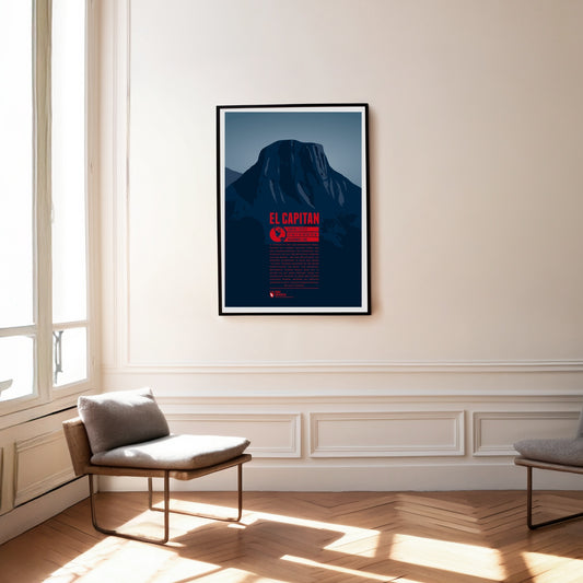
El Capitan is one of the most famous landmarks in Yosemite National Park and a dream destination for climbing fans from all over the world. The rock face, a good 1000 metres high, has a south-western and a south-eastern flank. The south ridge between them is known as "The Nose" and was climbed during the first ascent of the wall in 1958. More than 70 routes have since been established on the face; the fastest ascents have been completed in under two hours, while the longest stays on El Capitan's walls have lasted more than 200 days.
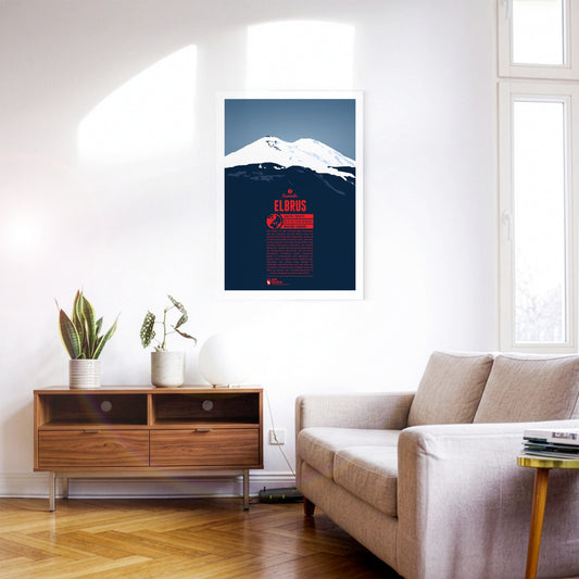
Elbrus is the highest mountain of Russia and in the Caucasus. It is often also regarded as Europe’s highest peak, making it one of the Seven Summits. The lower east summit of Elbrus was first climbed in 1829. The higher west summit was first reached in 1874. The normal route to the top is not particularly difficult. Thus the mountain was already climbed frequently during Soviet times. The great altitudes, low temperatures and harsh winds remain the biggest obstacles on the way to the summit. Because of the extreme cold winter ascents are still very rare.
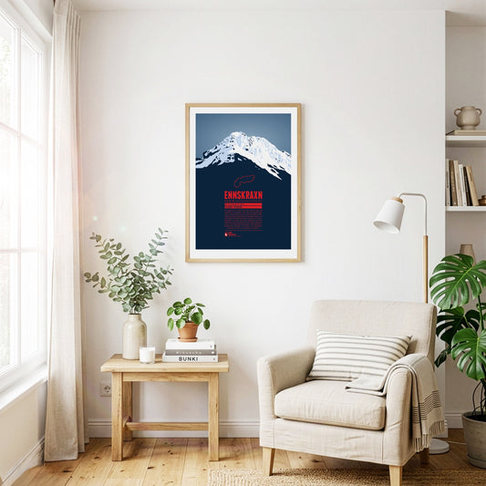
The Ennskraxn is not the highest mountain in Salzburg’s Kleinarl valley, but it is one of the most striking summits in the area. It is part of the Radstadt Tauern, a western subgroup of the Niedere Tauern. Locals simply call the mountain ‘Krax’. The Enns, Austria’s longest inland river, rises east of the summit. Trips around the mountain are especially colourful in early summer, when the hairy alpenrose – known locally as ‘Almrausch’ – is in bloom.
Etna is the highest mountain on Sicily and the highest active volcano in Europe outside the Caucasus. It is on the UN list of Decade Volcanoes, as well as a UNESCO world heritage site. Even though the Etna is in an almost constant state of volcanic activity thousand of tourists visit the mountain each year. There are also two ski resorts on its slopes.
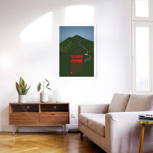
The Fellhorn is known as the flower mountain of the Allgäu Alps, especially due to the large fields of alpenroses on its slopes. As part of the Schafalp-group in previous times the mountain was also known under the name “Schlappolder Spitz”. From the Stillachtal valley the aerial lift Fellhornbahn takes visitors to a height of about 70 meters below the summit.
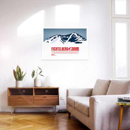
The Fichtelberg is the highest mountain of the German state of Saxony and the high point on the German side of the Ore Mountains. The highest mountain of the entire range, the Klínovec in Czech, is close-by in a distance of only three and a half kilometres. The largest ski resorts of the Ore Mountains are situated around both mountains. In combination they form the most important centre for winter sports in the area.
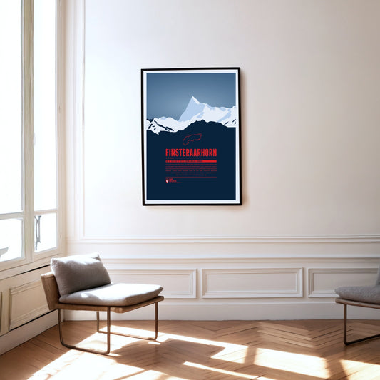
The Finsteraarhorn is located in a quite remote are of the Alps, surrounded by uninhabited glacial valleys. Seen from the northeast the summit resembles a shark's fin, from the soutwest it looks like a giant triangle. In spite of being the highest summit of the Bernese Alps the Finsteraarhorn's remote location makes it much less known than the lower peaks of Mönch, Eiger and Jungfrau.
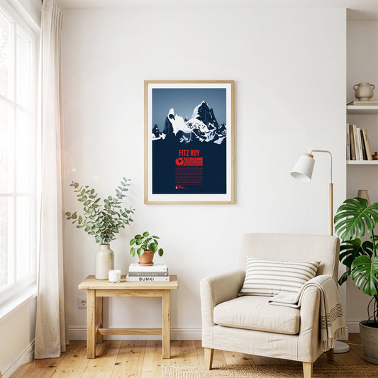
The majestic rock needles of Fitz Roy, reach heights of more than 3400 meters and rise into the sky of Patagonia. Fitz Roy is a dream destination for mountaineers and climbing to the top is a great Alpinistic challenge. The mountain was named after Captain Robert FitzRoy of the science vessel HMS Beagle. Since the mountain top is often surrounded by clouds the Native inhabitants of the area named the mountain El Chaltén - “the smoking one”.
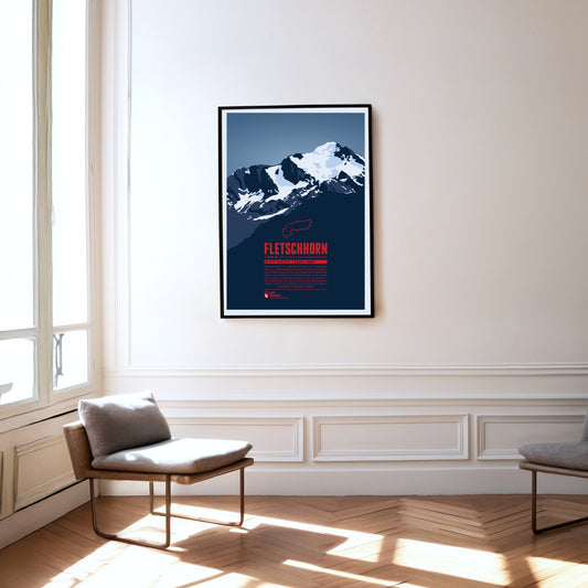
At the beginning of the 20th century the Fletschhorn was regarded as a four-thousander in the Alps. Due to the melting glaciers on the summit the elevation was updated to 3993 metres in the 1950s and 3985 metres in 2012. The Fletschhorn is the northernmost of the three great summits of the Weissmies Group. The Fletschjoch canyon separates it from the Lagginhorn in the south.
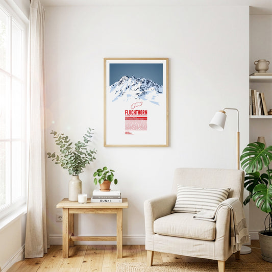
The Fluchthorn has three major peaks, of which the southern summit, Südliches Fluchthorn, was the highest at 3399 meters for a long time. However, after a massive rockfall on the southern summit in June 2023, which tore the summit cross with it, the middle peak, Mittleres Fluchthorn, has become the highest point of the mountain. Not only does the border between Austria and Switzerland run across the Fluchthorn peaks, but also the border between the German and Romansh language areas. In Romansh, the Fluchthorn is known as Piz Fenga.
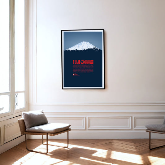
There is hardly another mountain on earth with such cultural significance as Mount Fuji. From ancient to modern times Fuji-san has almost been worshiped like a god in Japan. Together with Tate and Haku it is one of the Three Holy Mountains of Japan. The country's highest summit is still an active volcano, even though there is only a low chance of an eruption. The first recorded summit ascent was achieved by an unknown monk in 663. Women were only allowed access to the mountain in the 1860s.
The Furgler, just over 3000 m high, is part of the Samnaun Alps in Tyrol, Austria. It is one of the most visited mountains of the region. The lifts of the nearby ski resort Serfaus-Fiss-Ladis are often used when attempting to climb to the summit. The Furgler is also a popular destination among ski mountaineers.
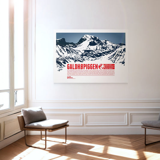
Galdhøpiggen is the highest summit in Norway and the highest mountain in all of Scandinavia, which makes it an extremely popular destination for climbers. Three larger glaciers cover the northern, western and southern sides of the summit, so the ascent route from the east is the easiest and requires no technical climbing. For a long time Glittertind, only a few kilometres to the east, was considered the higher of the two mountains. Melting glaciers at Glittertind’s summit have cost it so much height, however, that it is now only Norway’s second-highest mountain.
Gamsfeld is the highest mountain and the only two-thousander in the Salzkammergut Mountains. The slopes of Gamsfeld below the dome-shaped summit drop steeply in all directions, making ascents somewhat demanding. The efforts are rewarded with a breathtaking view of the noticeable higher mountains of the Dachstein massif in the south and the lakes of the Salzkammergut in the north. Gamsfeld is also known for the lush Alpine flora on its slopes. Alpine roses can form dense carpets of flowers during their bloom.
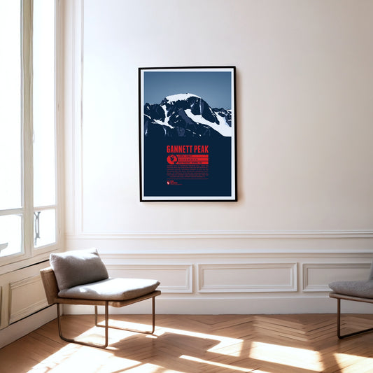
Gannett Peak is the highest mountain in Wyoming and the highest peak of the Wind River Range and the Greater Yellowstone Rockies. It is also the highest summit of the Rocky Mountains outside of Colorado. The largest glaciers in the American Rocky Mountains and the remote location of the mountain make it quite difficult to climb.
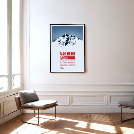
Gasherbrum I is the highest mountain of the Gasherbrum group of the same name and the eleventh-highest mountain on Earth. Initially recorded by the British as K5 (Karakoram 5), the name from the local Balti language later prevailed; it can be translated as ‘beautiful mountain’. Its remote position also earned it the nickname ‘Hidden Peak’. After the first ascent in 1958, Peter Habeler and Reinhold Messner achieved the first ascent of an eight-thousand-metre peak in pure Alpine style without supplementary bottled oxygen on Gasherbrum I in 1975.
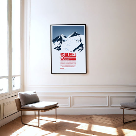
Gasherbrum II is the third and lowest eight-thousand-metre peak in the Gasherbrum group. The mountain with its striking summit pyramid rises south-east of K2 and Broad Peak, placing it at the centre of the group. In the 19th century the British initially designated Gasherbrum II as K4 (Karakoram 4). Gasherbrum III (7946 m) to the west, with a topographic prominence of less than 500 metres, is usually regarded as its subsidiary peak. Until its first ascent in 1975 it was one of the highest unclimbed points on Earth.
Regular price
from 19 €
Regular priceSale price
from 19 €
Books, maps and more.
About the Alps and the world.