The Tschingelhörner are a multi-peak mountain in the Glarus Alps. Like giant dwarves the peaks reside above a layer of Verrucano formation. This young rock formation rests on top of an older one, together forming the Glarus thrust, a famous geotope and UNESCO World Heritage Site. Even though the highest mountain of the Glarus Alps is the Tödi, the Tschingelhörner's unique shape make them a popular tourist destination as well.
Uluru is one of Australia's most famous landmarks, situated in the center of the country, southwest of Alice Springs. The British first named the mountain Ayers Rock. Because of its huge spiritual importance for the Anangu, the native inhabitants of the area, in 2019 climbing Uluru was permanently banned. Uluru is known for its changing colors throughout the day, especially during dusk and dawn. Another phenomenon can be observed during the rare heavy rainfalls in the area when for a short time the walls of Uluru become waterfalls.
Südöstlich von Bad Reichenhall befindet sich der Untersberg, das nördlichste Gebirgsmassiv der Berchtesgadener Alpen. Die deutsch-österreichische Grenze verläuft über das ausgedehnte Gipfelplateau. Mit 1972 Metern ist der Berchtesgadener Hochthron dessen höchster Gipfel. Das gesamte Gebirgsmassiv ist von Karsthöhlen durchzogen. So befindet sich hier Deutschlands tiefste und längste bekannte Höhle sowie die einzige erschlossene Eishöhle. An den Nordhängen des Massivs wird seit der Römerzeit der bekannte Untersberger Marmor abgebaut.
Der Vanil Noir ist der höchste Berg der Freiburger Alpen. Er liegt an der Grenze der Schweizer Kantone Freiburg und Waadt, etwa 20 Kilometer östlich von Montreux und dem Genfer See. Am Vanil Noir gibt es seit 1983 ein Naturschutzgebiet, das sich durch viele seltene Pflanzen und eine große Tierwelt auszeichnet. Unter anderem können 73 Tagfalterarten oder die Aspisviper bewundert werden und es wachsen Blumen wie die Alpen-Betonie oder der Drachenkopf.
The Vesulspitze is located east of Ischgl in Tyrol and is part of the Samnaun Alps. Apart from the Piz Rots on the Swiss-Austrian border it is the highest peak of the mountain range on the Austrian side. When standing on top of the Vesulspitze one can not only admire the mighty wooden summit cross. As a relatively free-standing Three-thousander it also offers a great panorama of the surrounding mountains and valleys.
The Watkins Range is the highest mountain range on Greenland, including the island's highest mountain Gunnbjørn Fjeld. Other notable three-thousanders of the range include Gunnbjørn Dome (3682 m) and Gunnbjørn Cone (3669 m). The mountains in the Watkins Range are so-called “nunataks”, rocks which emerge from an area which is otherwise covered entirely by ice and glaciers.
Legend tells that the Watzmann is a royal family, turned into stone after being cursed by a woman. As the central massif of the Berchtesgaden Alps it shapes the entire landscape of southeastern Upper Bavaria. The east face is one of the most fascinating challenges for climbers in the entire Alps.
Die Weißkugel ist der dritthöchste Berg in Österreich. Ihre Lage direkt am Alpenhauptkamm macht sie ausserdem zum höchsten Gipfel auf der österreichisch-italienischen Grenze. Auf der Weißkugel treffen vier Gipfelgrate aufeinander, zwischen denen sich Gletscher befinden. Einer von ihnen, der Hintereisferner, wird seit mehr als 100 Jahren wissenschaftlich untersucht – eine der längsten bestehenden Zeitreihen in der Gletscherforschung.
Die Weißseespitze ist ein Berg im Weißkamm der Ötztaler Alpen an der Grenze von Tirol zu Südtirol. Sie liegt im Osten des Reschensees am Ende des Langtauferer Tals (italienisch: Vallelunga). Über den Gipfel verläuft die Grenze zwischen Österreich und Italien. Auf italienisch ist der Berg als „Cima del Lago Bianco“ bekannt – eine wörtliche Übersetzung des deutschen Namens.
The Weisshorn towers north of Zermatt in the Pennine Alps. The main summit of the Weisshorn group has a distinctive pyramid shape with three sharp ridges. Although there are many other four-thousanders in the area, the Weisshorn is relatively free-standing. The rock on the mountain's three faces is quite brittle, which is why they are hardly suitable for climbing. In order to reach the summit an altitude of 3000 meters has to be transcended, requiring a high level of stamina. The route via the southwest ridge is considered to be the most difficult way to the summit.
Wie mit weißem Moos bedeckt erscheint der schneebedeckte Gipfel des Weissmies. Diesem Umstand verdankt der Berg seinen Namen, denn „Mies“ bedeutet im lokalen Dialekt „Moos“. In den Walliser Alpen gelegen ist der Weissmies höchster Gipfel und Namensgeber der Weissmiesgruppe. Er wurde 1855 zum ersten mal bestiegen und gilt als einer der leichter zu erklimmenden Viertausender. Vom Gipfel schweift der Blick über die Nachbargipfel der Gruppe, die Mischabelkette bis zum Monte Rosa sowie hinunter ins Saastal auf Saas-Fee im Westen und das Simplontal im Osten.
Wheeler Peak is the highest mountain in New Mexico, situated in the Sangre de Cristo Mountains, the southernmost Rocky Mountains subrange. First known as Taos Peak, the mountain was renamed in 1950, after George Montague Wheeler, a cartographer and explorer. Only 15 miles southwest skiers can enjoy the slopes of Taos Ski Valley.
Wheeler Peak is Nevada's second highest summit, being only 82 ft (ca. 25 m) lower than Boundary Peak, but more prominent than the latter. It is also the highest mountain of the Snake Range. As the mountain with the same name in New Mexico, it is named after George Montague Wheeler, who explored the area in the 19th century. The mountain is part of the Great Basin National Park, which was established in 1986.
Despite its comparatively modest height, the Wilder Kaiser is one of the landmarks of the Eastern Alps thanks to its prominence and easy accessibility. The Kaiser range is a popular destination for climbers and skiers alike. Pioneers such as Hans Dülfer developed entirely new climbing techniques here, and the "Wilder Kaiser/Brixental" ski area, one of the largest in Austria, extends across its slopes.
Die Wildspitze ist der zweithöchste Berg Österreichs und der höchste Berg der Ötztaler Alpen. Durch die große Schartenhöhe ist die Aussicht von der Wildspitze praktisch nur durch die Erdkrümmung begrenzt und reicht von den Berner Alpen im Westen, mit Bietschhorn und Aletschhorn, bis zur Schobergruppe im Osten. Im letzten Jahrhundert war der Nordgipfel der höhere Gipfel der Wildspitze, dieser ist aber abgeschmolzen. Heute ist der Südgipfel der höchste Punkt des Berges.
Mount Yari is centrally located on the Japanese island of Honshū in Nagano Prefecture. It is situated in the Hida Mountains, which are part of the Japanese Alps. Mount Yari is one of the “100 Famous Japanese Mountains”, which were listed by Kyūya Fukada in 1964, and it is the fifth highest peak of the country. The mountain owes its name Yari, which translates to “spear”, to its characteristic pointed shape. For this reason it is also known as the “Matterhorn of Japan”.
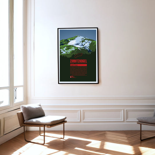
Der Zirbitzkogel ist der höchste Berg der Seetaler Alpen und touristisch sehr gut erschlossen. Es gibt viele Hütten sowie Unterkünfte. Von allen Himmelsrichtungen aus führen, vorbei an mehreren kleinen Seen, die Wanderwege hinauf, die die Anstiege deutlich verkürzen. Zugleich ist der Zirbitzkogel auch für seine artenreiche Fauna und Flora bekannt: An seinen Hängen wachsen Zirben und in den höheren Lagen gedeihen Speik und Alpenrosen. Zudem gibt es rund um den Berg sehr seltene Schmetterlingsarten und Brutgebiete der Mornellregenpfeifer.
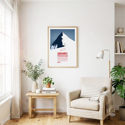
Das Zuckerhütl an der Grenze zu Südtirol ist einer der charakteristischsten Berge der Alpen. Seine Nordseite wird vom mächtigen Gletscher Sulzenauferner bedeckt, während er zum Süden hin hunderte Meter schroff abfällt. Von seinem Gipfel aus kann man bei gutem Wetter bis zum Ortler schauen, an seinen Hängen die Pisten des Stubaitals genießen.
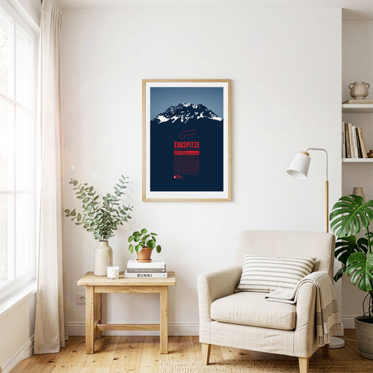
The Zugspitze is Germany's highest mountain and the highest peak of the Wetterstein Mountains. Below the summit there is a ski area and three glaciers which will probably disappear in the years to come in course of the climate change. An asteroid has been named after the Zugspitze. On the summit which can be reached with three different aerial lifts there is even a little theme park.
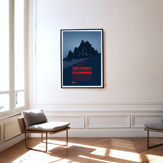
The Zwölferkofel or Zwölfer (Twelver) is one of five mountains which together form the Sexten Sundial. Seen from Moos near the town of Sexten, at noon (solar time) the sun is roughly over the Zwölferkofel's summit. Accordingly the neighbouring summits are named with numbers from nine to one (in German: Neuner, Zehner, Elfer, and Einser). As many Dolomite peaks, for climbers the Zwölferkofel is a popular and challenging destination.