Kazbek (also Kasbek or Qasbegi) is a five-thousand-metre peak in the centre of the Caucasus, on the border between Georgia and Russia. After Elbrus it is the second-highest volcano in the range, which is why it is counted among the Volcanic Seven Second Summits. The iconic volcanic cone also plays a part in Georgian mythology: legend has it that Amirani, a Georgian version of Prometheus, was once chained to the mountain for stealing fire from the gods and giving it to humankind. At around 2100 metres stands Gergeti Trinity Church, the only domed church in the Georgian high mountains.
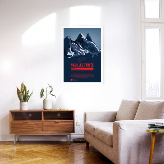
The rock spires of the Aiguilles d’Arves rise in the Maurienne, east of Grenoble. The southern peak, the Aiguille Méridionale, is the highest of them. It is followed by the Aiguille Centrale, just one metre lower, and, set slightly apart further north, the Aiguille Septentrionale, also known as ‘Tête de Chat’ – cat’s head. Since many are drawn to the famous and popular Écrins massif to the south, the Aiguilles d’Arves have become something of an insider tip for anyone looking for quieter mountain and climbing tours.
Manaslu – der „Berg der Seele“ wird manchmal auch als „Kutang“ bezeichnet und ist der achthöchste Berg der Erde. Der Gipfel verfügt über drei steile Flanken, während er nach Osten hin flacher abfällt und zum 7992 Meter hohen Nebengipfel führt. Trotz der niedrigeren Höhe wurde der Ostgipfel erst 1986 erstmals bestiegen, etwa 30 Jahre nach dem Hauptgipfel. Wer sich den Aufstieg auf 8000 Meter Höhe und mehr nicht zutraut, kann sich am Manaslu Circuit probieren. Die Trekkingroute führt einmal rund um den Manaslu, wobei eine Höhe von etwas über 5100 Metern erreicht wird.
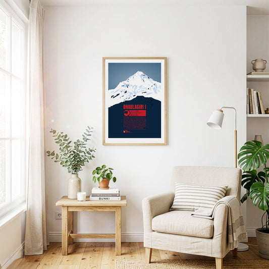
Dhaulagiri is the seventh-highest mountain on earth and the highest summit that does not lie on a national border. The Kali Gandaki river flows between Dhaulagiri and the Annapurna massif to the east, forming what is probably the deepest river valley in the world. Visible from far away, Dhaulagiri was surveyed as early as 1808 and was at that point the highest recorded mountain in the world. Only 30 years later did Kangchenjunga in India take that place. The first ascent of Dhaulagiri in 1960 was the second to last of an eight-thousand-metre peak.
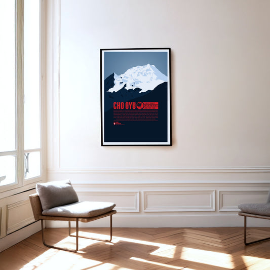
Cho Oyu, the sixth-highest mountain on earth, rises in the west of the Mahalangur Himal, the part of the Himalayas that also contains Mount Everest, only about 20 kilometres away. West of Cho Oyu lies the Nangpa La pass at 5716 metres, which has been one of the most important trade routes between Tibet and Nepal for centuries. In 1954 the Austrians Herbert Tichy and Joseph Jöchler, together with the Sherpa Pasang Dawa Lama, made the first ascent of Cho Oyu – without supplementary bottled oxygen, an extraordinary mountaineering achievement.
In weniger als 20 Kilometern Entfernung vom Mount Everest erhebt sich mit dem Makalu der fünfthöchste Berg der Erde als eindrucksvolle Felspyramide mit vier Seiten. Zum Makalu-Massiv gehören außerdem die nördlich gelegenen Gipfel des Kangchungtse (auch Makalu II, 7678 m) und des Chomo Lonzo (7804 m). Vor Ort wird der Makalu auch als „Kumba karna“ (der Riese) bezeichnet. Über den Sattel zwischen Kangchungtse und Makalu erfolgte 1955 der erste Aufstieg auf den Gipfel von Norden her. Dieser Weg gilt heute als Normalroute. Bei der Suche nach dem legendären Yeti war die Gegend rund um den Makalu besonders im Fokus.
Mount St. Helens is an active stratovolcano in the Cascade Range, near the west coast of the USA. The volcano’s severe eruption on 18 May 1980 was the most destructive volcanic event in US history and killed 57 people. The north flank slid away, costing the mountain a good 400 metres in height. In the languages of the local Indigenous peoples, Mount St. Helens is known as Lawetlat’la (Cowlitz) and as Loowit or Louwala-Clough (Klickitat).
Mount Giluwe ist ein erodierter Schildvulkan, der zuletzt vor mehr als 200 000 Jahren ausgebrochen ist. Er befindet sich im Bismarckgebirge und ist der zweithöchste Berg Papua-Neugineas sowie der höchste Vulkan von Australien und Ozeanien, womit er zu den Seven Volcanic Summits gezählt wird. Neben dem Hauptgipfel erreicht auch der östliche Nebengipfel eine Höhe von 4 300 Metern. Der Aufstieg zum Gipfel kann über Trekkingrouten bewerkstelligt werden. Bei der Wahl der Ausrüstung sollte die Kälte am Berg in den höheren Lagen und in der Nacht berücksichtigt werden.
Mount Sidley ist der höchste von fünf ruhenden Vulkanen im Gebirgszug der Executive Committee Range in der Antarktis. Als höchster Vulkan des gesamten Kontinents ist er zugleich der niedrigste der Volcanic Seven Summits. Entdeckt wurde der massive Schildvulkan bei einem Überflug im Jahr 1934. Bis zur Erstbesteigung 1990 sollten anschließend mehr als 50 Jahre vergehen. Aufgrund der selbst für antarktische Verhältnisse äußerst unzugänglichen Lage wird Mount Sidley nur selten bestiegen. Auch die Höhe ist noch nicht exakt bestimmt. So nennen einige Quellen eine Gipfelhöhe von 4181 Metern.
Between Monte Rosa to the south and the Mischabel group to the north, the Rimpfischhorn rises as the highest point of the Allalin group. Its rocky ridge climbs slowly from the north to the highest summit in the south. Seen from the south the mountain therefore appears as a steeply rising triangle of stone, while from the west and east it shows its rocky spikes. The Rimpfischhorn is suited both to high alpine tours in summer and to ski tours in winter.
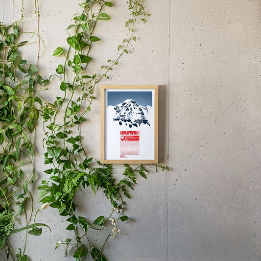
Annapurna I ist der zehnthöchste Berg der Erde und die höchste Erhebung im nepalesischen Annapurna-Massiv, das sich über gut 55 Kilometer erstreckt und etliche Sechs- und Siebentausender enthält. Die Bezeichnung Annapurna geht auf die hinduistische Erntegöttin zurück, deren Name sich aus den Begriffen „anna“ (Nahrung) und „purna“ (gefüllt) zusammensetzt. Annapurna I wurde bereits 1950 als erster Achttausender bestiegen. Doch erst 1970 folgte die zweite erfolgreiche Besteigung über die etwa 3000 Meter hohe Südwand, die als eine der schwierigsten Kletterrouten überhaupt gilt.
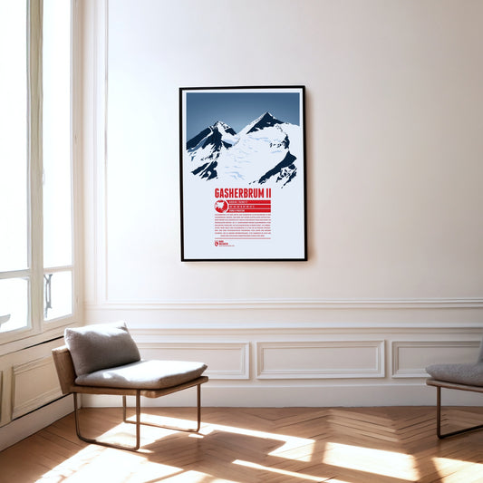
Gasherbrum II ist der dritte und niedrigste Achttausender in der Gasherbrum-Gruppe. Der Berg mit seiner auffälligen Gipfelpyramide erhebt sich südöstlich von K2 und Broad Peak und damit im Zentrum der Gruppe. Im 19. Jahrhundert wurde Gasherbrum II von den Briten zunächst als K4 (Karakorum 4) bezeichnet. Als Nebengipfel wird meist der Gasherbrum III (7946 m) im Westen angesehen, der eine topografische Prominenz von unter 500 Metern aufweist. Bis zu dessen Erstbesteigung 1975 handelte es sich um einen der höchsten unbestiegenen Punkte der Erde.
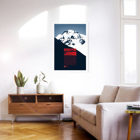
Broad Peak ist der zweithöchste Achttausender der Gasherbrum-Gruppe. Südöstlich des K2 erheben sich Nord-, Mittel- und schließlich der Hauptgipfel. Der lange Gipfelgrat des gewaltigen Bergs erinnerte den britischen Namensgeber William Martin Conway an das Breithorn in der Schweiz, sodass er dessen Namen einfach ins Englische übertrug. Der polnischen Bergsteiger Maciej Berbeka wurde 1988 mit der Besteigung des Broad Peak-Vorgipfels (Rocky Peak) auf 8028 Metern zum ersten Menschen, der im Winter auf über 8000 Meter Höhe aufsteigen konnte.
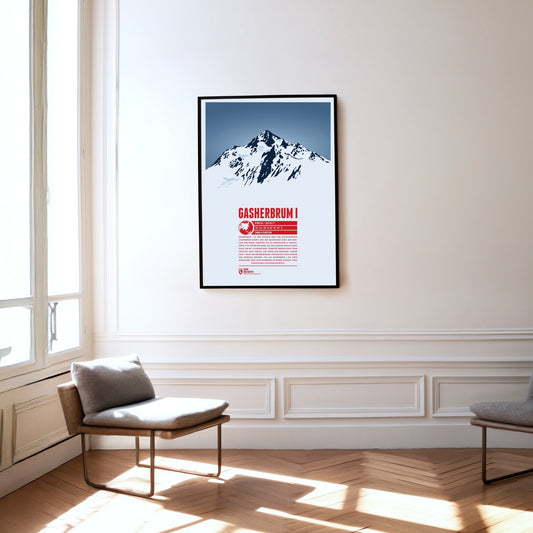
Gasherbrum I ist der höchste Berg der gleichnamigen Gasherbrum-Gruppe und der elfthöchste Berg der Erde. Von den Briten zunächst als K5 (Karakorum 5) erfasst, setzte sich später der Name aus der lokalen Sprache Balti duch, der mit „schöner Berg“ übersetzt werden kann. Seine abseitige Lage verhalf ihm zudem zum Beinamen „Hidden Peak“. Nach der Erstbesteigung 1958 gelang Peter Habeler und Reinhold Messner 1975 am Gasherbrum I die erste Besteigung eines Achttausenders im reinen Alpinstil ohne zusätzlichen Flaschensauerstoff.
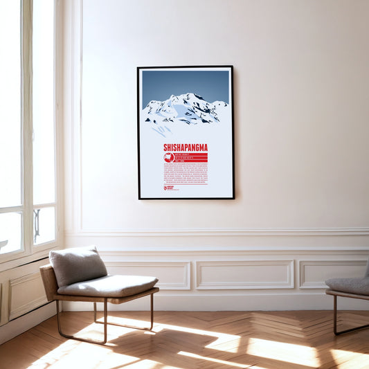
As the lowest eight-thousand-metre peak, Shishapangma is the fourteenth-highest mountain on earth and the only one above 8000 metres that lies entirely in China. It was the last of the eight-thousand-metre peaks to be climbed, in 1964, by what is now the normal route from the north. The Tibetan plateau stretches away to the north of Shishapangma, which explains the meaning of its name: ‘mountain overlooking the grassy plain’. The Indian name Gosainthan, which was more common at first, means ‘holy place’ or ‘place of the saints’. The mountain’s south-west face, more than 2000 metres high, is as impressive as it is demanding.
The Titlis lies at the centre of the Uri Alps and is the highest point of a mountain chain some 20 kilometres long. While the Titlis, with its curved summit, drops away sharply to the east and south in impressive rock faces, to the north it slopes gently down towards the municipality of Engelberg. Thanks to cable-car access and attractions such as the ‘Titlis Cliff Walk’, it is a very popular and much-visited mountain, whether for walking in summer or skiing in winter.
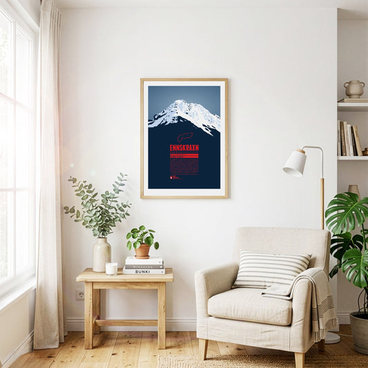
The Ennskraxn is not the highest mountain in Salzburg’s Kleinarl valley, but it is one of the most striking summits in the area. It is part of the Radstadt Tauern, a western subgroup of the Niedere Tauern. Locals simply call the mountain ‘Krax’. The Enns, Austria’s longest inland river, rises east of the summit. Trips around the mountain are especially colourful in early summer, when the hairy alpenrose – known locally as ‘Almrausch’ – is in bloom.
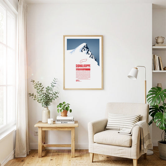
The Signalkuppe, also called Punta Gnifetti in Italian, is a summit in the Pennine Alps on the border between Italy and Switzerland, and a subsidiary peak of Monte Rosa. The mountain is named after ‘the signal’, a prominent gendarme on the east ridge, which is called the Cresta Signal. The first ascent was made by Giovanni Gnifetti, a parish priest from Alagna Valsesia. The highest building in Europe, the Capanna Margherita, stands on the summit; work began in 1890 with the support of the Italian Crown, and Queen Margherita opened it in 1893.
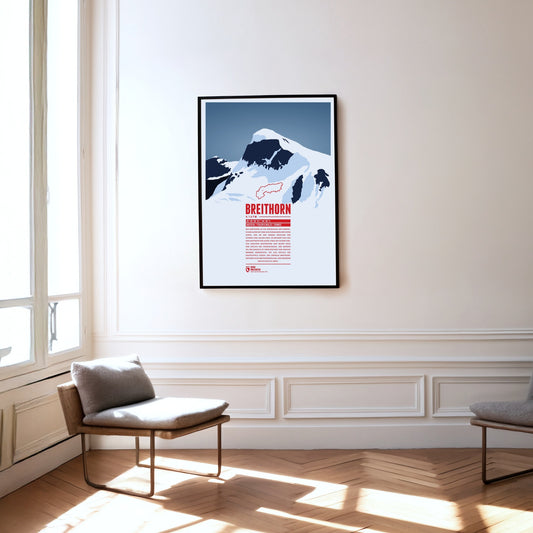
The Breithorn is a mountain range in the Pennine Alps whose highest summit carries the same name and lies on the border between Switzerland and Italy. It sits on the main chain of the Alps, roughly halfway between the Matterhorn and Monte Rosa and east of the Theodul Pass. Most of the massif is glaciated and includes several subsidiary peaks, all of them east of the main summit: the Central Breithorn, the western Breithorn Twin, the Gendarme and the Roccia Nera.
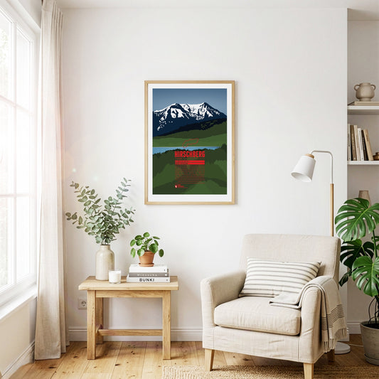
South of the Tegernsee rises the Hirschberg, with its main summit in the west and a fore-summit about 15 metres lower in the east. Despite its comparatively modest height, the mountain is visible from far to the north and greets the inhabitants of the Bavarian Alpine foreland. The summit can be reached on various walking paths and offers an excellent view that in good weather stretches from the Roßstein across the Zugspitze to the Großglockner.
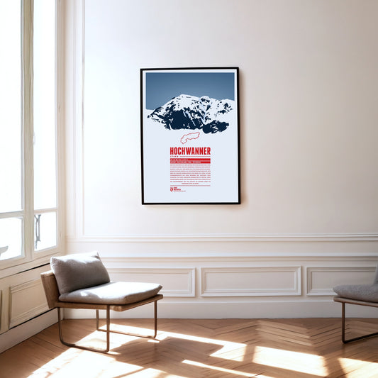
The Hochwanner, on the border between Bavaria and Tyrol, is Germany’s highest point outside the Zugspitze massif. Its impressive north face drops more than 1400 metres towards the Reintal. The first ascent was made in 1870 by what is now the normal route from the south, out of Tyrol. In the summer months there is a good chance of meeting the marmots that live here during the climb. At the top, a fine view opens up over neighbouring mountains such as the Alpspitze to the north and the Mieming Chain to the south.
The Parseierspitze is the only three-thousand-metre peak in the Northern Limestone Alps and the highest mountain of the Lechtal Alps. It rises above the Inn valley as a jagged tower of rock. The name of the mountain and of the Parseier valley probably goes back to the Romance word ‘presür’, which described the gate of an alpine pasture.
The Monte Disgrazia is a chameleon. Seen from the north-west or south-east, it appears as a sharp, rugged, unconquerable horn. From the north-east, by contrast, the peak looks like an elongated plateau. The reason is the multi-peaked summit wall, which runs in an almost perfectly north-westerly direction and so allows very different views.
The Monte Civetta in the province of Belluno towers above the Cordévole valley and the village of Alleghe. ‘Civetta’ means owl in Italian and goes back to the earlier notion that such a mighty mountain could only be conquered in flight. That is due above all to its north-west face, as steep as it is vast: more than 1000 metres high and three kilometres wide, it is one of the largest rock faces in the Dolomites.
The Linker and Rechter Fernerkogel are two peaks north-east of the Wildspitze, with the Mittelbergferner glacier between them. The Linker Fernerkogel is a popular tour destination in both summer and winter. The normal route leads to the summit from the north, starting at the Braunschweiger Hütte. The area is also used for glacier mountaineering courses.
The Kräuterin is a striking dome of the Hochstadl and the highest point of the Ybbstal Alps. The summit rises north of the Salza valley, which separates it from the Hochschwab group. The Kräuterin is rugged and rocky and has several subsidiary peaks, with wide alpine meadows stretching between them.
The Pizzo di Gino is the highest summit of the Lugano Prealps in Lombardy and is regarded as a border mountain between the Prealps and the High Alps. The peak resembles an even, three-sided pyramid of rock. The Cuccio mountain stream rises on its slopes, and the Valle Albano lies to the north-west of the Pizzo di Gino.
The Piz Val Gronda lies in the Samnaun group, right on the border between Austria and Switzerland. On Swiss territory in the Fimba valley, south-west of the summit, stands the Heidelberger Hütte, the starting point for ski tours and the most important base for walking up the mountain. From here the summit can be reached without difficulty in about two hours.
The name Badile means ‘shovel’ in Italian, because the mountain’s notorious north-east face really does resemble a shovel blade. Together with its neighbouring peaks, the Piz Badile is one of the most famous climbing mountains in the Alps. Its north face is considered extremely demanding.
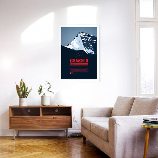
The Birkkarspitze is the highest mountain in the Karwendel. Together with the three Ödkarspitzen peaks west of the summit, it forms an impressive massif. The Karwendeltal runs to the north of the Birkkarspitze. Its length and gentle gradient make it ideal for mountain biking, and long ski tours with an impressive panorama are popular there too.
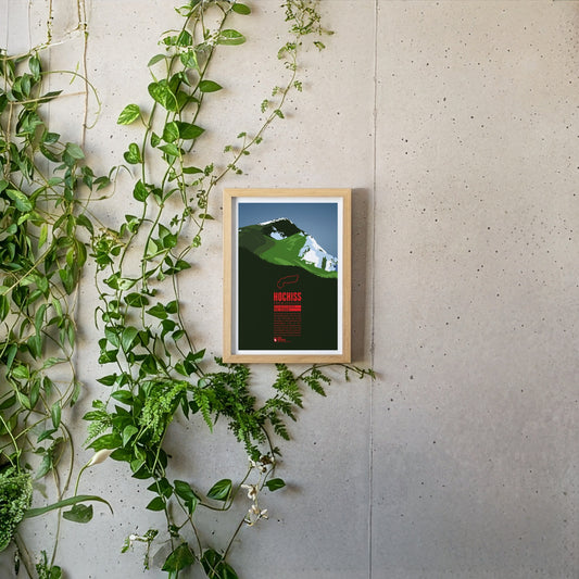
The Hochiss is the highest summit of the Brandenberg Alps and lies on the main crest of the small Rofan group, a subgroup of the Brandenberg Alps in Tyrol east of the Achensee. The name Hochiss derives from the dialect word ‘Iss(e)’, meaning a pasture or a high alpine grazing ground.
The Riedberger Horn is a striking grassy mountain in the Allgäu and the highest summit of the Hörner group north-west of Oberstdorf. The top is easy to reach and offers a beautiful view of the Allgäu High Alps with the Hochvogel and the Großer Krottenkopf. The area around the Riedberger Horn is considered ideal walking country for families and for people without previous experience; only the route over the north-east ridge is a little more challenging.
The Rheinwaldhorn is the highest mountain of the Adula Alps. In Italian it is called Adula, a name that already appeared on historical maps of the Roman Empire. Other names for the mountain were Rheinwaldspitze, Schneehorn, Adulahorn and Moschelhorn. The Rheinwaldhorn is dominated by several glaciers that shape its flat summit plateau. The Hinterrhein, one of the two headwaters of the Rhine, rises on its flanks.
The Monte Baldo forms a ridge 30 kilometres long that rises above the eastern shore of Lake Garda and drops away on the other side into the Adige valley in the province of Trento. The highest point of the ridge is the Cima Valdritta. The mountain is very well developed and therefore easy to climb. During the ice ages the summit of Monte Baldo stood above the glaciers, which preserved a unique flora here that survives nowhere else.
The Monte Pelmo is a mighty, free-standing dome of rock and one of the highest summits in the Dolomites, rising impressively out of the surrounding valleys. From the north-west it gives the impression of a gigantic armchair: the summit block in the middle, with the Monte Pelmetto and the north-west ridge as armrests. That is why the Pelmo is also called ‘God’s armchair’.
Piz Linard ist der höchste Gipfel der Silvrettagruppe und wird oft als einer der formschönsten Berge der Alpen genannt. Er bildet eine symmetrische Gipfelpyramide und wirkt aus allen Blickrichtungen markant. Der Piz Linard überragt die Umgebung um bis zu 2 000 Meter und ist dadurch weithin sichtbar. Von Zernez im Unterengadin bildet er einen beeindruckenden Talschluss und wird oft als Wahrzeichen des Unterengadins bezeichnet.