Piz Palü is a well renowned mountain for cineasts. The movie “The White Hell of Pitz Palu” from 1929 portrays a mountaineer looking for the dead body of his wife who was hit by an avalanche. The name is probably derived from the Latin word “palus”, meaning “swamp”. The mountain than was named after the pasture Alpe Palü which lies four kilometers east of the summit.
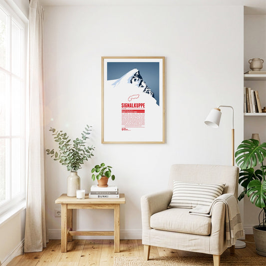
The Signalkuppe, also called Punta Gnifetti in Italian, is a summit in the Pennine Alps on the border between Italy and Switzerland, and a subsidiary peak of Monte Rosa. The mountain is named after ‘the signal’, a prominent gendarme on the east ridge, which is called the Cresta Signal. The first ascent was made by Giovanni Gnifetti, a parish priest from Alagna Valsesia. The highest building in Europe, the Capanna Margherita, stands on the summit; work began in 1890 with the support of the Italian Crown, and Queen Margherita opened it in 1893.
Between the Splügen Pass and Chur, the Piz Beverin rises in the eastern Adula Alps. The relatively free-standing summit offers an excellent view. Besides walking paths, climbing routes of varying difficulty lead up the Piz Beverin, and the mountain is a popular ski-touring destination. The Beverin nature park surrounds it: alongside the ibex, the heraldic animal of Grisons, a wolf pack lives here too.
The highest mountain of the Grisons and the Albula Alps lies at the heart of Grisons. That central position makes the Piz Kesch a popular tour destination. As the highest point between the Silvretta and the Adula Alps, it offers one of the finest views in the region from its summit: in clear conditions it reaches as far as the Ötztal Alps, the Ortler and the Adamello, the Bernina group and the Valais Alps.
West of Chur the Ringelspitz rises above the Vorderrhein valley. The mountain, known in Romansh as Piz Barghis, is the highest summit in the canton of St Gallen and lies on the border with Grisons. The Ringelspitzhütte of the Swiss Alpine Club, south-east of the mountain, makes a good starting point for tours to the summit. The winter and spring months are particularly well suited to the ascent.
The impressive Niesen towers south of Lake Thun. Due to its pyramid-shape in the winter months, when the sun is low, the summit casts a large triangle shadow on the community of Spiez at the foot of the mountain. Since 1910 the mountain top can be reached with the Niesenbahn, a funicular railway.
Piz Bernina is the only four-thousander in the Eastern Alps and the most isolated mountain in Switzerland. The first ascent was made by Johann Coaz in 1850. His journal entries show his love for the Alps: “Serious thoughts took hold of us. Greedy eyes surveyed the land up to the distant horizon, and thousands and thousands of mountain peaks surrounded us, rising as rocks from the glittering sea of ice. We stared amazed and awe-struck across this magnificent mountain world.”
Between Monte Rosa to the south and the Mischabel group to the north, the Rimpfischhorn rises as the highest point of the Allalin group. Its rocky ridge climbs slowly from the north to the highest summit in the south. Seen from the south the mountain therefore appears as a steeply rising triangle of stone, while from the west and east it shows its rocky spikes. The Rimpfischhorn is suited both to high alpine tours in summer and to ski tours in winter.
The Titlis lies at the centre of the Uri Alps and is the highest point of a mountain chain some 20 kilometres long. While the Titlis, with its curved summit, drops away sharply to the east and south in impressive rock faces, to the north it slopes gently down towards the municipality of Engelberg. Thanks to cable-car access and attractions such as the ‘Titlis Cliff Walk’, it is a very popular and much-visited mountain, whether for walking in summer or skiing in winter.
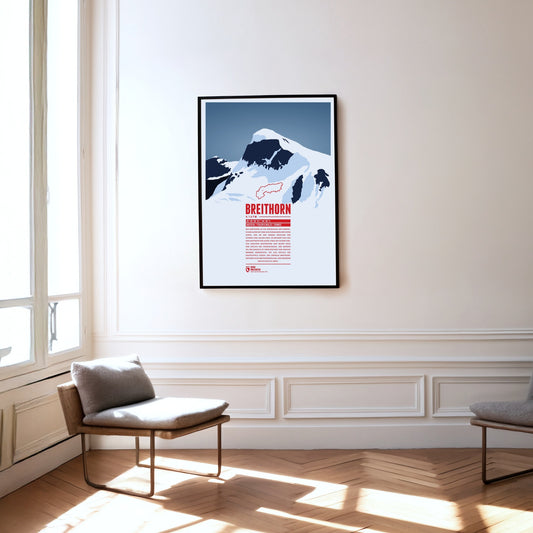
The Breithorn is a mountain range in the Pennine Alps whose highest summit carries the same name and lies on the border between Switzerland and Italy. It sits on the main chain of the Alps, roughly halfway between the Matterhorn and Monte Rosa and east of the Theodul Pass. Most of the massif is glaciated and includes several subsidiary peaks, all of them east of the main summit: the Central Breithorn, the western Breithorn Twin, the Gendarme and the Roccia Nera.
The Piz Val Gronda lies in the Samnaun group, right on the border between Austria and Switzerland. On Swiss territory in the Fimba valley, south-west of the summit, stands the Heidelberger Hütte, the starting point for ski tours and the most important base for walking up the mountain. From here the summit can be reached without difficulty in about two hours.
The name Badile means ‘shovel’ in Italian, because the mountain’s notorious north-east face really does resemble a shovel blade. Together with its neighbouring peaks, the Piz Badile is one of the most famous climbing mountains in the Alps. Its north face is considered extremely demanding.
The Rheinwaldhorn is the highest mountain of the Adula Alps. In Italian it is called Adula, a name that already appeared on historical maps of the Roman Empire. Other names for the mountain were Rheinwaldspitze, Schneehorn, Adulahorn and Moschelhorn. The Rheinwaldhorn is dominated by several glaciers that shape its flat summit plateau. The Hinterrhein, one of the two headwaters of the Rhine, rises on its flanks.
Piz Linard is the highest summit of the Silvretta group and is often named as one of the most beautifully shaped mountains in the Alps. It forms a symmetrical summit pyramid and looks striking from every direction. Piz Linard towers up to 2000 metres above its surroundings and is therefore visible from afar. Seen from Zernez in the Lower Engadin, it forms an impressive head of the valley and is often described as the landmark of the Lower Engadin.
The Vanil Noir is the highest mountain of the Fribourg Alps. It lies on the border of the Swiss cantons of Fribourg and Vaud, about 20 kilometres east of Montreux and Lake Geneva. A nature reserve has existed on the Vanil Noir since 1983, notable for its many rare plants and its abundant wildlife. Among other things, 73 species of butterfly and the asp viper can be admired here, and flowers such as alpine betony and dragonhead grow on its slopes.
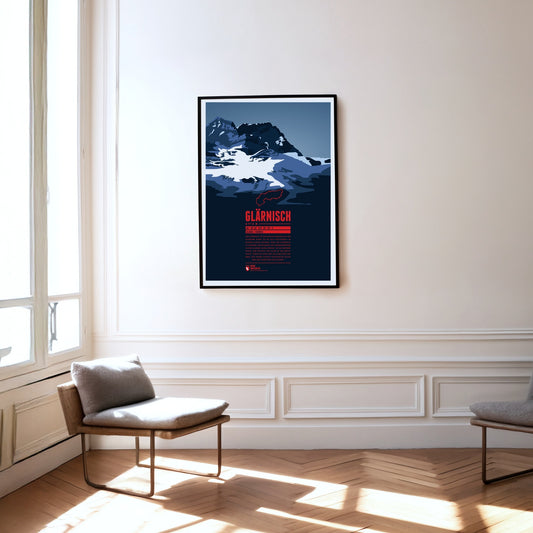
The Glärnisch is the highest massif of the Schwyz Alps. As it lies entirely within the canton of Glarus, other classifications of the mountain groups count the Glärnisch among the Glarus Alps. It has several summits, the highest of them the Bächistock. Thanks to its height and position, the mountain offers fantastic views over north-eastern Switzerland from its peaks.
The Pilatus is a massif of the Emmental Alps west of Lake Lucerne. It consists of a series of summits, the highest of them the Tomlishorn. Besides a cable car, the Pilatus railway also runs to the top; with a maximum gradient of 48 %, it is considered the steepest rack railway in the world.
The Schreckhorn is the northernmost four-thousand-metre peak in Europe. The mighty rock spike rises steeply south of Grindelwald. Together with the Lauteraarhorn, only marginally lower, the Schreckhorn forms an imposing twin summit. It is often described as the most difficult four-thousand-metre peak in the Alps to climb. The mountain is an insider tip for experienced mountaineers, as its out-of-the-way position keeps it fairly empty.
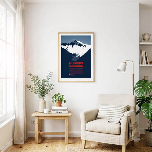
The Aletschhorn is the second-highest summit of the Bernese Alps and is often described as the coldest mountain in the Alps, as it is particularly exposed to cold winds. From the top there is a breathtaking view of the surrounding three- and four-thousand-metre peaks of the Bernese and Valais Alps. Around the Aletschhorn lie the Aletsch Glaciers, which were once connected. The Great Aletsch Glacier is the largest glacier in the entire Alpine region.
The Schesaplana is rising close to the southern tripoint between Switzerland, Austria, and Liechtenstein. Situated in the center of the Alps and being the high point of the Rätikon the summit offers a view over hundreds of Alpine mountains up to the Pennine Alps, Ötztal Alps, the Zugspitze massif, and beyond. On the way to the mountain top different mountain huts can be passed, such as the Mannheimer Hütte in the north behind the Brandner Glacier, the Douglashütte at the Lünersee in the east, or the Schesaplanahütte in the south.
The Rigi is a mountain massif with the highest peak Rigi Kulm. It is located between Lake Lucerne, Lake Zug and Lake Lauerz and offers a spectacular view over large parts of the Swiss Alps. This is one of the reasons why the first mountain railway in Europe, the Vitznau-Rigi-Bahn, was build here in 1871. Rigi has attracted famous guests for centuries: Twain and Goethe visited the massif and Tolstoi even described the view as “the most beautiful in the world”.
Between the Eiger and the Jungfrau, the Mönch completes the impressive trio in the Bernese Oberland. From the top station of the Jungfrau railway it is just over 600 metres of ascent to the summit, though the climb involves some technical challenges. Only in 1996 did re-measurement show that the mountain is nine metres higher than previously assumed. Geldings – ‘Münche’ in the local dialect – were once summered on pastures on the mountain, and ‘Münchenberg’ later became Mönch.
The Jungfrau is the highest summit of the trio it forms together with the Eiger and the Mönch. The opening of the rack railway to the Jungfraujoch at over 3400 metres in 1912 made the mountain one of the most easily accessible four-thousand-metre peaks in the Alps. The name may have passed over time from the Wengernalp on the northern slope – called Jungfrauenberg by the nuns of the former Interlaken convent – to the Jungfrau itself.
The Weisshorn towers north of Zermatt in the Pennine Alps. The main summit of the Weisshorn group has a distinctive pyramid shape with three sharp ridges. Although there are many other four-thousanders in the area, the Weisshorn is relatively free-standing. The rock on the mountain's three faces is quite brittle, which is why they are hardly suitable for climbing. In order to reach the summit an altitude of 3000 meters has to be transcended, requiring a high level of stamina. The route via the southwest ridge is considered to be the most difficult way to the summit.
After the Mont Blanc massif, Monte Rosa is the highest massif in the Alps. Its highest summit, the Dufourspitze, is the second-highest mountain in the Alps and the highest in Switzerland. East of it, right on the border with Italy, lies the Grenzgipfel at 4618 metres, and further south the Signalkuppe (4554 m). The Capanna Regina Margherita (Margherita hut) stands directly on its summit – the highest building in Europe.
The Mont Fort is a three-thousand-metre peak in the Valais Alps rising south of Nendaz. The mountain is surrounded by three glaciers; the Glacier de Tortin to the west is part of 4 Vallées, the largest ski area in Switzerland. The Mont Fort is easily reached by cable car from Nendaz or Verbier. At the top, and in the right weather, a spectacular view opens up over the massifs of Monte Rosa and Mont Blanc.
Between the Matterhorn and Monte Rosa rises the five-kilometre-long Liskamm. Its highest point is the eastern summit. On the north-eastern side of the crest an icy rock face drops away for more than 1000 steep metres, while the heavily crevassed Lys Glacier lies to the south. The eastern summit was first climbed in 1861, and three years later mountaineers traversed the ridge for the first time. That traverse has cost many climbers their lives, which earned the Liskamm the nickname ‘the man-eater’.
The Mythen are the iconic landmarks of Schwyz and are located east of the capital of the canton with the same name. The highest summit is the Grosser Mythen in the south. In the north the lower Kleiner Mythen rises and even further north is its sub-peak Haggenspitz. While hiking trails lead up to the Grosser Mythen the two lower summits can only be reached via climbing passages.
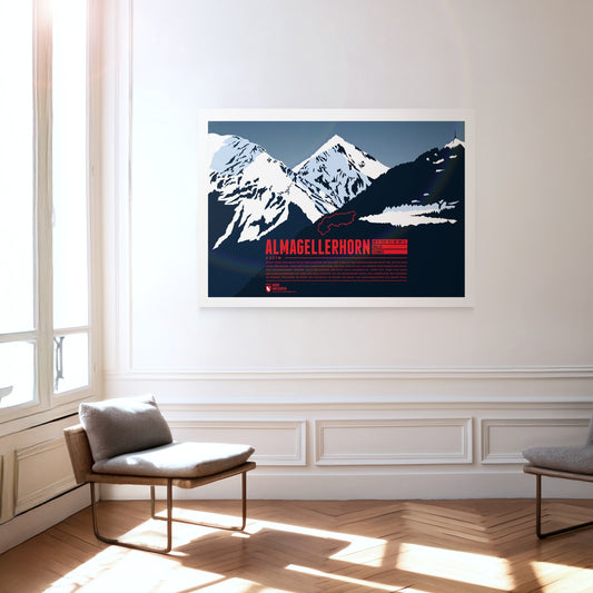
Lying close to many four-thousand-metre peaks of the Valais Alps, the Almagellerhorn is not the most conspicuous summit in the region. Yet the shapely mountain, which appears as a perfect rock pyramid from Saas-Fee, deserves all the attention. The ascent, which is not overly difficult, is worth it too: from the summit of the Almagellerhorn you have a splendid view of the surrounding peaks and ranges such as Weissmies to the north, Stellihorn to the south and, of course, the peaks of the Mischabel group and Monte Rosa to the west.
The snow-covered summit of the Weissmies looks as if it were covered in white moss. The mountain owes its name to this: in the local dialect, ‘Mies’ means ‘moss’. Situated in the Valais Alps, the Weissmies is the highest summit of the Weissmies group and gives it its name. It was first climbed in 1855 and is considered one of the easier four-thousand-metre peaks to ascend. From the summit the view sweeps across the neighbouring peaks of the group and the Mischabel range to Monte Rosa, and down into the Saas valley to Saas-Fee in the west and the Simplon valley in the east.
Piz Vallatscha is a Three-thousander in the Sesvenna Alps, a mountain group in the border triangle between Tyrol in Austria, South Tyrol in Italy, and the Swiss canton Graubünden. North west of the summit is the higher Piz Tavrü. In the south east the lifts of the ski area Minschuns reach a height of 2700 meters. South of the Piz Vallatscha is the Fuorn Pass, an important and old part of the connection betwenn the valleys of Inn and Adige (Etsch).
The Piz Muraun rises on the southern side of the Grisons municipality of Disentis/Mustér. Opposite the summit, to the north, lie the Piz Ault and the Oberalpstock; to the south rises the Piz Medel, a good 300 metres higher. Although the climb to the summit of the Piz Muraun can be managed without any real climbing sections, it is still a demanding walking route. For the less athletic, a ride on the famous Glacier Express to Disentis is recommended, offering a spectacular view of the mountain.