Piz Vallatscha is a Three-thousander in the Sesvenna Alps, a mountain group in the border triangle between Tyrol in Austria, South Tyrol in Italy, and the Swiss canton Graubünden. North west of the summit is the higher Piz Tavrü. In the south east the lifts of the ski area Minschuns reach a height of 2700 meters. South of the Piz Vallatscha is the Fuorn Pass, an important and old part of the connection betwenn the valleys of Inn and Adige (Etsch).
The Piz Muraun rises on the southern side of the Grisons municipality of Disentis/Mustér. Opposite the summit, to the north, lie the Piz Ault and the Oberalpstock; to the south rises the Piz Medel, a good 300 metres higher. Although the climb to the summit of the Piz Muraun can be managed without any real climbing sections, it is still a demanding walking route. For the less athletic, a ride on the famous Glacier Express to Disentis is recommended, offering a spectacular view of the mountain.
Piz Medel is a peak in the Adula Alps, a part of the Lepontine Alps on the border between the Swiss cantons of Graubünden and Ticino. West of the summit is the Greina, an important Alpine pass between the two cantons, which was already used in ancient times. A number of huts are situated around the summit as starting points for tours around the mountain, among them the Medel Hut. As many other mountains in the area the Piz Medel is a worthwile destination for ski mountaineering.
The Piz Ault lies south of the Oberalpstock. Both mountains rise above the Vorderrhein valley and the town of Disentis. The ski lifts of the ski resort Disentis 3000 go up as high as 2800 meters, just below the summit of the Piz Ault. A popular stop in the summer and the winter is the hut of the Swiss Alpine Club Camona da Cavardiras west of the mountain, on the other side of the Brunni Glacier.
The Oberalpstock is one of the highest mountains in the Glarus Alps and rises between the northern Maderranertal in the canton of Uri and Surselva, the Vorderrhein valley in Graubünden in the South. Among the major characteristics of the mountain are its four ridges which meet close to the summit. The first ascent of the Oberalpstock was accomlished from the south eastern side, which is still the normal route today. Apart from hikers and climbers the mountain is also a popular destination for ski mountaineering.
Les Diablerets (The Abode of Devils) lie on the border of the Swiss cantons of Valais and Vaud. The highest summit of the group, the Sommet des Diablerets, is also the high point of Vaud. Among the other major peaks of the group are the Oldenhorn, where the border of the third canton of Bern meets the other two, and the almost 3000 meter high Sex Rouge. The latter can be accessed via an aerial lift since the 1960s, which becomes part of the ski resort Glacier 3000 during the winter season.
The Lagginhorn is the second four-thousander in the Weissmies Group in Valais, close to the Italian border. It is also the lowest four-thousander in Switzerland. The ascent of the Lagginhorn is considered to be only slightly more difficult than that of the neighbouring Weissmies, which is only 7 metres higher. The popular normal route to the summit, which was already chosen for the first succesful ascent in 1856, starts in Saas-Grund in the valley and goes via the Weissmieshütte in about 2700 metres.
Situated nearby the four-thousanders of the Pennine Alps, the Jegihorn appears rather small. However the peak is a popular destination for climbers. The rope bridge on the via ferrata Jägihorn is particularly famous and opened from June to October. From the top of the Jegihorn a breath-taking panorama offers views of the neighbour summits of the Mischabel Group, the Bernese Alps, and the Rhône Valley.
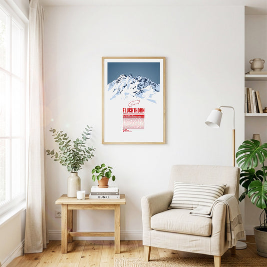
The Fluchthorn has three major peaks, of which the southern summit, Südliches Fluchthorn, was the highest at 3399 meters for a long time. However, after a massive rockfall on the southern summit in June 2023, which tore the summit cross with it, the middle peak, Mittleres Fluchthorn, has become the highest point of the mountain. Not only does the border between Austria and Switzerland run across the Fluchthorn peaks, but also the border between the German and Romansh language areas. In Romansh, the Fluchthorn is known as Piz Fenga.
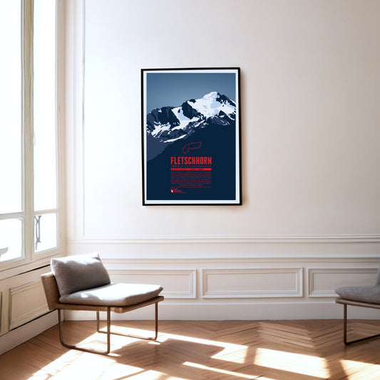
At the beginning of the 20th century the Fletschhorn was regarded as a four-thousander in the Alps. Due to the melting glaciers on the summit the elevation was updated to 3993 metres in the 1950s and 3985 metres in 2012. The Fletschhorn is the northernmost of the three great summits of the Weissmies Group. The Fletschjoch canyon separates it from the Lagginhorn in the south.
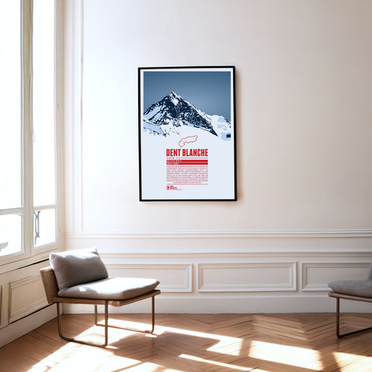
The southern neighbour Matterhorn steals a lot of the attention but the pyramid-shaped summit of Dent Blanche is most fascinating nonetheless. From here four ridges run almost perfectly towards the four cardinal points. The first documented ascent of Dent Blanche was accomplished in 1862, three years before the first ascent of the Matterhorn. The chosen route at the time from the south is still the normal route today. The hut of the Swiss Alpine Club Cabane de la Dent-Blanche is a popular starting point for summit attempts.
Three Swiss cantons border on the top of the Brienzer Rothorn. A cable car from Sörenberg in Lucerne almost reaches the summit from the northern side. In the winter the are is part of the ski resort Sörenberg / Rothorn. The mountain station of the other cable car, going up from Brienz in Bern from the south, is located about 100 meters below the summit. The Brienzer Rothorn is known for the Alpine ibexes which populate its slopes. One might spot the animals when following the route of the “Ibex Trek” starting at Sörenberg.
The Tschingelhörner are a multi-peak mountain in the Glarus Alps. Like giant dwarves the peaks reside above a layer of Verrucano formation. This young rock formation rests on top of an older one, together forming the Glarus thrust, a famous geotope and UNESCO World Heritage Site. Even though the highest mountain of the Glarus Alps is the Tödi, the Tschingelhörner's unique shape make them a popular tourist destination as well.
The Tödi is the highest mountain of the Glarus Alps. Large parts of the mountain are glaciated which makes them hard to reach. The name is said to come from the Swiss German “d'Ödi” (“Ödnis” in Standard German, a wasteland) which transformed into Tödi over time. With a clear sky the view from the summit reaches up as far as Zürich, 70 kilometers in the distance.
Situated in northeastern Switzerland Säntis is the highest mountain of the Alpstein massif with a height of 2501 m. It is the thirteenth most prominent mountain in the entire Alps. On the summit the borders of three Swiss cantons meet. On a clear day you can see six of the eight Alpine countries from there.
The Pizol is a 2844 m high mountain in the Glarus Alps in the Swiss canton of St. Gallen. The Pizol hiking and skiing area on the north side of the mountain was accessible via Switzerland's oldest gondola lift, which has been replaced in 2007 with a modern lift. The Pizol is also a popular starting point for ski mountaineers.
Piz Buin is one of the most distinctive mountains of the Montafon, an Ill-valley in Vorarlberg. Being part of the Silvretta range the Austrian-Swiss border runs along the mountain summit. The Ill's headwaters are two glaciers on the Austrian side of the mountain. The ascent to the mountain becomes more difficult with the shrinking glaciers. During winter time however one can ski on beautiful trails all the way from the summit into the valley.
The Gspaltenhorn is part of the Bernese Alps and rises up to 3436 m. The mountain rock consists mainly of limestone which gives the surface a cliffy and cragged shape. The name comes from the German word “gespalten”, meaning “split” or “cleft”. For climbers the Gspaltenhorn offers multiple routes to the summit with varying degrees of difficulty.
The highest mountain of Liechtenstein is part of the Rätikon range and a popular destination for Liechtenstein's sportive inhabitants. The rhine flows seven kilometers west of the summit and takes up the mountain's water. A few kilometers to the north you can find Liechtenstein's only ski resort “Malbun/Sareis”.
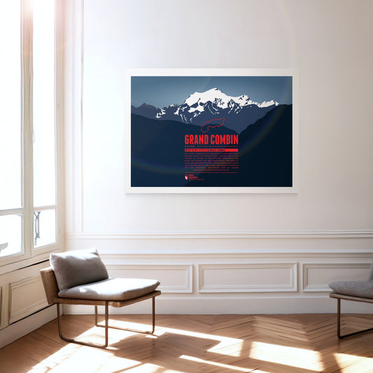
The Grand Combin mountain massif is part of the Pennine Alps in the southwest of the Swiss canton of Vallais. Its three major peaks belong to the highest in the entire Alps. Large parts of the mountains are glaciated which is why people also call it a “giant ice block”. The ascent is dangerous but rewards climbers with a magnificient view over clear mountain lakes.
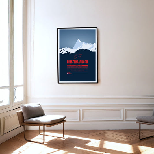
The Finsteraarhorn is located in a quite remote are of the Alps, surrounded by uninhabited glacial valleys. Seen from the northeast the summit resembles a shark's fin, from the soutwest it looks like a giant triangle. In spite of being the highest summit of the Bernese Alps the Finsteraarhorn's remote location makes it much less known than the lower peaks of Mönch, Eiger and Jungfrau.
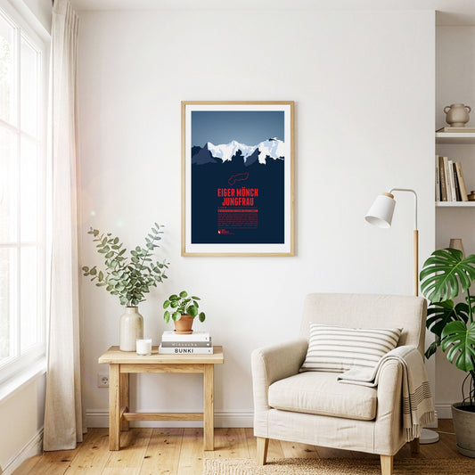
Eiger, Mönch, and Jungfrau form one of the most famous and characteristic mountain groups in Switzerland and in the whole Alpine region. The Jungfrau in the West is the highest of the three summits. Since 1912 a rack railway, which has been named after the Jungfrau, is making its way up via Eiger and Mönch to Europe's highest railway station Jungfraujoch on 3454 metres.
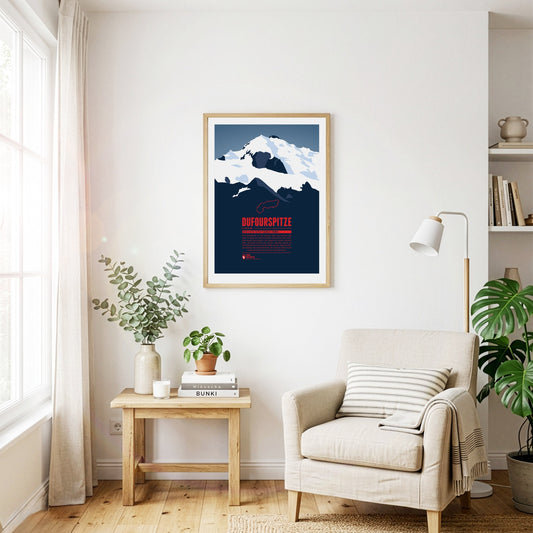
The Dufourspitze is the highest mountain of Switzerland and the highest peak of Monte Rosa, one of the Alps' most impressive mountain massifs. The Swiss-Italian border runs along about 100 m east of the summit. The mountain is named after Guillaume-Henri Dufour, a Swiss general and topographer who published the first official map of Switzerland in 1845.
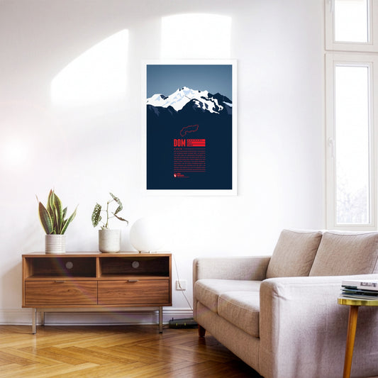
With 4545 metres the Dom is the highest mountain with its entire base completely located in Switzerland. The view from the top offers a spectacular panorama far into the country and over the Monte Rosa massif due to the mountain's high prominence. The Dom is named after the Canon of the Sitten cathedral (in German: "Dom") who took part in the first official surveys of the area. The ski resort “Saas-Fee” is only six kilometres away, and even in the summer allows for some of the highest and most beautiful ski-runs in the entire Alps.
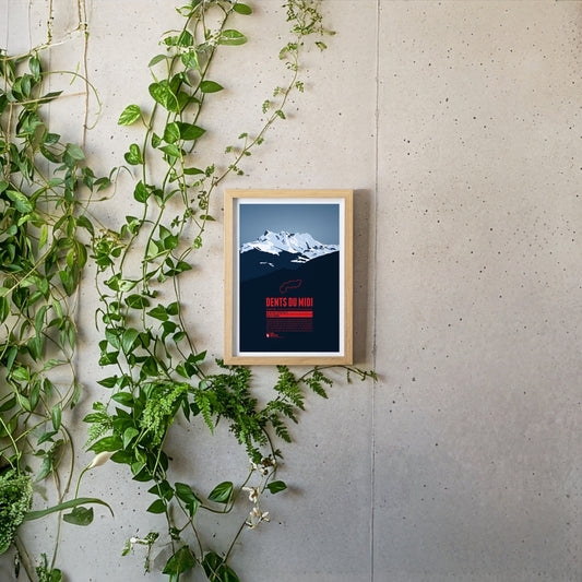
The Dents du Midi are a mountain range which spans over three kilometers in the Swiss Canton of Valais. The seven peaks, all of which reach a height of about 3,200m, offer magnificient views both of Lake Geneva and the Rhône plains and are habitat for diverse plant and animal life, making them a popular destination for hikers and mountaineers.
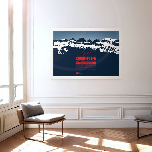
The Churfirsten form a striking mountain range in the Appenzell Alps in the Swiss canton of St. Gallen. Of its seven summits, the Hinterrugg is the highest at 2306 m. While the range tapers off relatively gently to the north, to the south it drops steeply down to the Walensee at an altitude of around 420 m.
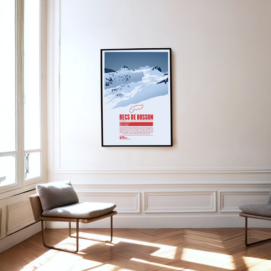
Situated in the Pennine Alps in the Swiss canton of Valais the main summit of the Becs de Bosson, the Grand Bec, rises up to 3149 metres. The subpeak, Petit bec, is only 20 centimetres lower. The mountain chalet Cabane de Becs de Bosson at an altitude of 2983 metres is the starting point or rest stop for many climbers attempting to reach the summit.
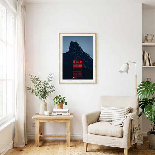
The Altmann rises steeply almost 1000 metres over the valleys of the Alpstein. The second highest summit of the Appenzell Alps is a classic climbing mountain. The view from the top is impressive and goes from Lake Constance, over the Rhine valley, the Allgäu Alps, the Rätikon, the Silvretta Alps, up to the Bernese Alps, and Lake Zurich. Around the Altmann you have a fairly good chance to meet Alpine ibexes, which are widespread in the area.