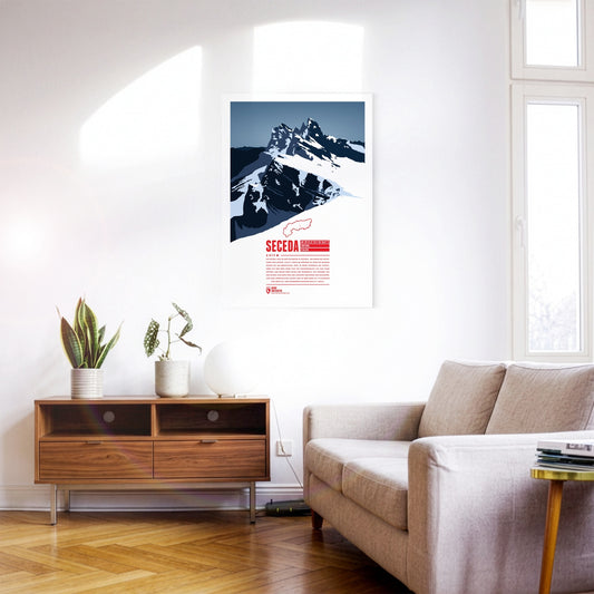
The Seceda lies in the Dolomites in South Tyrol, on the edge of the Puez-Odle Nature Park. From Ortisei in Val Gardena, the Seceda cable car runs up to the top station, about 70 metres below the summit. At the top the mountain offers a panoramic view over almost all of South Tyrol and beyond across Italy and Austria. The ski resort on the Seceda-Alm has one of the longest descents in the Dolomites: from just below the summit it runs more than 10 kilometres and over 1000 metres of vertical drop down to Ortisei.
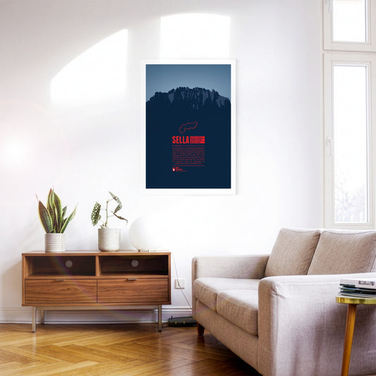
The Sella group is a very distinctive mountain massif in the Dolomites especially known for the Sellaronda. This ski circuit stretches over 42km, split into 26km on the slopes and 16km on lifts. The highest peak of the group is Piz Boè at 3,152m, which due to the compact shape of the whole group doesn't appear very prominently though.
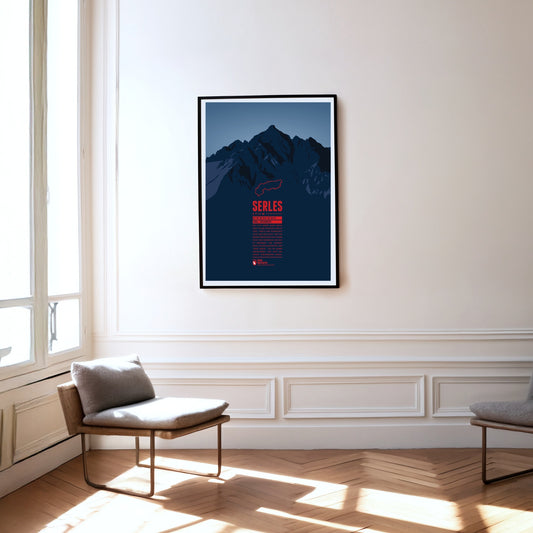
The 2717-metre Serles lies in the Stubai Alps in Tyrol. Thanks to its dominant position, the main summit and the two subsidiary peaks are clearly visible from Innsbruck in clear conditions. According to legend, the main summit, the "Serles giant", is a king turned to stone by God as punishment for his cruelty.
The Shetland Islands are an island group in Scotland. They are located in the middle between Norway, the Faroe Islands, and the Scottish Orkney Islands, thus forming the northern boundary of the North Sea facing the North Atlantic.
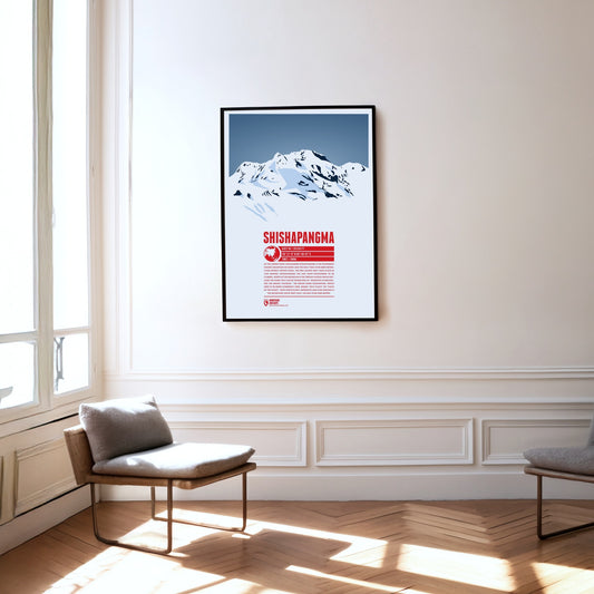
As the lowest eight-thousand-metre peak, Shishapangma is the fourteenth-highest mountain on earth and the only one above 8000 metres that lies entirely in China. It was the last of the eight-thousand-metre peaks to be climbed, in 1964, by what is now the normal route from the north. The Tibetan plateau stretches away to the north of Shishapangma, which explains the meaning of its name: ‘mountain overlooking the grassy plain’. The Indian name Gosainthan, which was more common at first, means ‘holy place’ or ‘place of the saints’. The mountain’s south-west face, more than 2000 metres high, is as impressive as it is demanding.
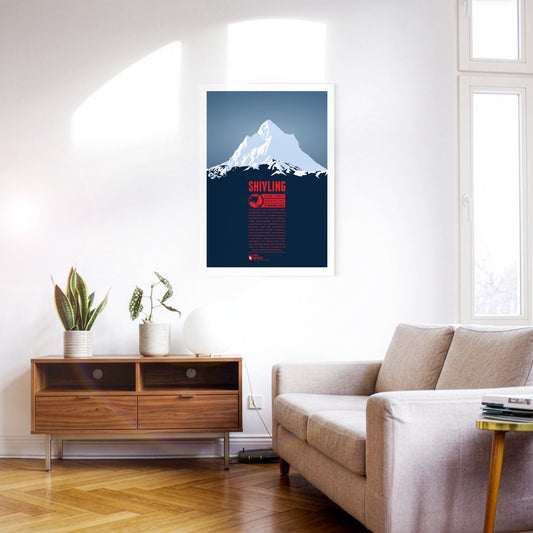
Shivling is a striking pyramid-shaped summit in the north Indian part of the Himalayas. The name goes back to the Hindu deity Shiva; British mountaineers also called the mountain ‘Matterhorn Peak’. The Gangotri Glacier, one of the largest in the Himalayas, lies east of the mountain. The Bhagirathi, one of the source rivers of the Ganges, rises here, which is why a well-known pilgrimage route leads into the area. Shivling was first climbed in 1974 by an expedition of the Indo-Tibetan Border Police.
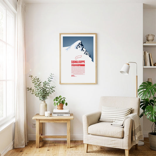
The Signalkuppe, also called Punta Gnifetti in Italian, is a summit in the Pennine Alps on the border between Italy and Switzerland, and a subsidiary peak of Monte Rosa. The mountain is named after ‘the signal’, a prominent gendarme on the east ridge, which is called the Cresta Signal. The first ascent was made by Giovanni Gnifetti, a parish priest from Alagna Valsesia. The highest building in Europe, the Capanna Margherita, stands on the summit; work began in 1890 with the support of the Italian Crown, and Queen Margherita opened it in 1893.
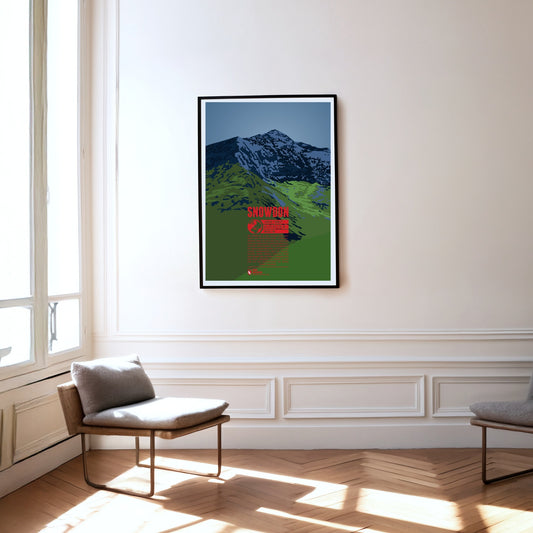
Snowdon is the highest mountain in Wales. Its Welsh name, Yr Wyddfa, means tomb, as legend has it that this is the burial place of the giant Rhitta Gawr, who was defeated by King Arthur. Snowdon is a much-visited mountain, offering fine walks across its grassy slopes. Towards the east and north, by contrast, the slopes are steep and rocky, which is why Sir Edmund Hillary trained here before the first ascent of Mount Everest.
Southwest of Oberstdorf, on the border between Bavaria and Vorarlberg the Söllereck rises as the northernmost summit of the Fellhorn ridge. The mountain is thus situated between the entries to the valleys Kleinwalsertal in the west and Stillachtal in the east. Via the Söllereckbahn aerial lift one reaches the summit station on 1358 meters. In the winter it is part of the ski area Oberstdorf / Söllereck.
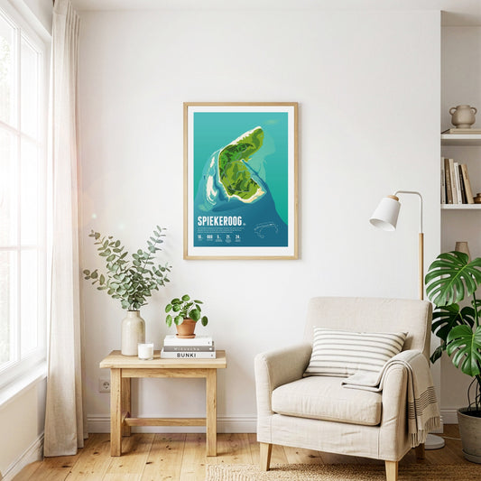
Car-free Spiekeroog is exceptionally close to nature and quiet. The island is known for its idyllic village – even bicycles are considered too hectic here. Untouched wilderness reigns on the Ostplate sandbank.
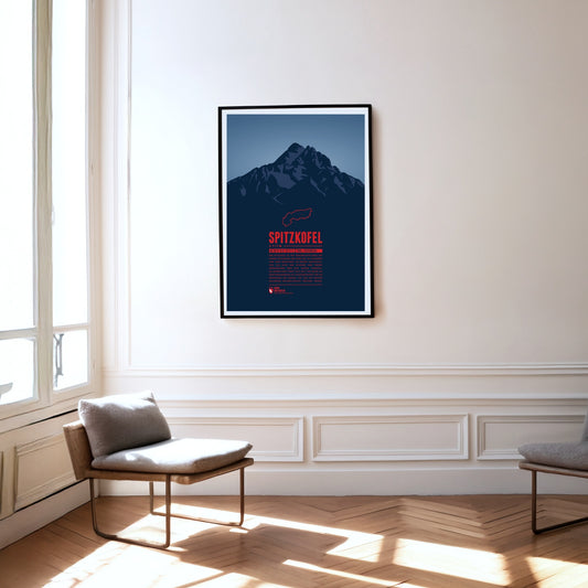
The Spitzkofel is the second-highest mountain in the Lienz Dolomites and is often described as the local mountain of Lienz. It consists mainly of limestone and shale and towers unmistakably above the Lienz basin. At its foot, at 1902 m, lies the Kerschbaumeralm, the starting point for the ascent of the mountain, which was inaugurated in 1926 with far-echoing gun salutes.
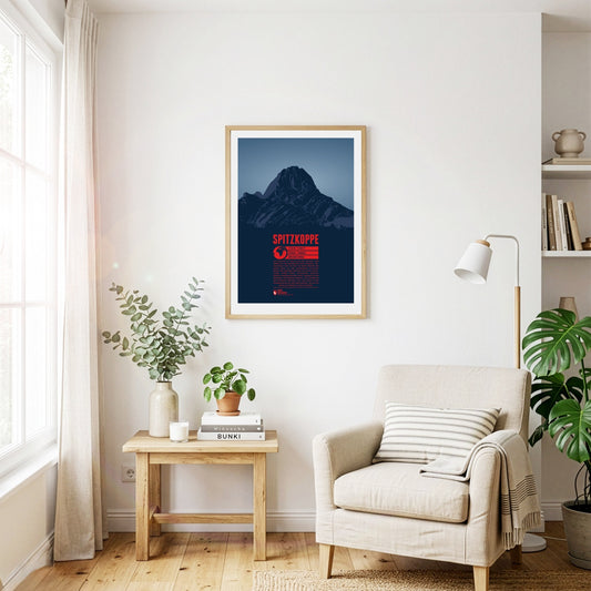
The Spitzkoppe may not be Namibia’s highest mountain, but it is probably its most famous. It rises impressively some 700 metres out of the surrounding plain in the middle of the Namib Desert. The inselberg was formed by volcanic activity around 100 million years ago. Its pyramid-like summit has earned it the nickname ‘the Matterhorn of Namibia’. Climbing on the Spitzkoppe is best in the southern hemisphere’s winter months, as the rock heats up too much in summer.
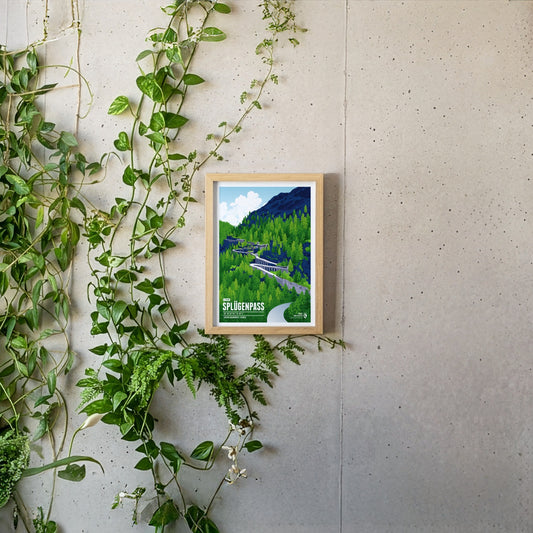
The Splügen Pass connects Switzerland with Italy and impresses with its many tight hairpin bends, historic tunnels and protective stone galleries that cling spectacularly to the rock. The winding pass road is particularly thrilling, turned into an unforgettable experience by these unique structures and the imposing Alpine landscape.
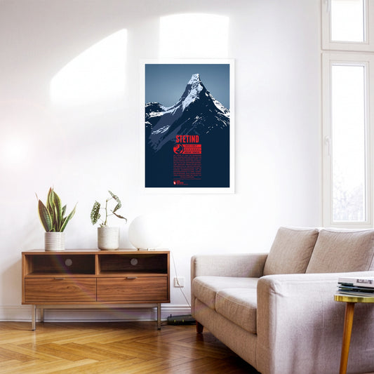
Stetind is one of the best-known mountains in Scandinavia and was voted Norway’s national mountain in 2002. An almost perfect obelisk, it is sometimes called ‘the Matterhorn of Scandinavia’. Although the mountain is not especially high, its northerly position and the harsh climate and weather make attempts on it a difficult undertaking. After several failed attempts, Stetind was climbed for the first time in 1910.
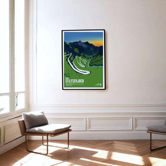
The Stelvio Pass is regarded as ‘the queen of pass roads’ and is the crossing between South Tyrol and Lombardy. With a pass height of 2757 metres, the Stelvio is the highest mountain pass in Italy and the third-highest pass road in the Alps.
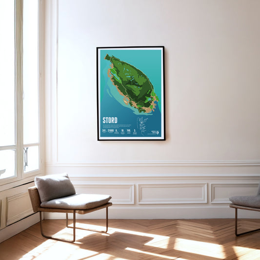
Mining was carried out for centuries on the island of Stord, set between fjords and skerries. The island's highest mountain, the Mehammarsåta, rises to 749 metres.
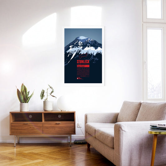
The Stuhleck is the highest summit of the Fischbach Alps and very well developed. That led to pronounced tourism in every season as early as the late 19th century. In February 1892 the pioneers Toni Schruf, Max Kleinoscheg and Walther Wenderich climbed to the summit on skis from Mürzzuschlag – one of the first ski ascents of an Alpine mountain.
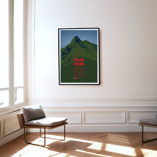
The pyramid-shaped summit of Svinjak rises in the Triglav national park. Because of its striking shape it is also called the ‘Matterhorn of Bovec’, having become the landmark of the village at its foot. Despite its comparatively modest height, Svinjak is a popular viewpoint: from the summit you can see the Bovec basin, the Soča valley and Slovenia’s highest peak, Triglav.
The beach on the largest and most popular German North Sea island among tourists is 40 kilometers long. It is considered a travel destination for the rich and famous. A railway embankment connects Sylt with the mainland.
The major landmark of Cape Town towers in the west over the second biggest city of South Africa. The three kilometer long summit plateau is characteristic as are the neighboring peaks Lion's Head in the south and Devil's Peak in the north. Since 1929 a funicular airway leads onto Table Mountain which can also be accessed via a number of different hiking trails which both contribute to making the mountain one of the most popular tourist destination in all of South Africa.
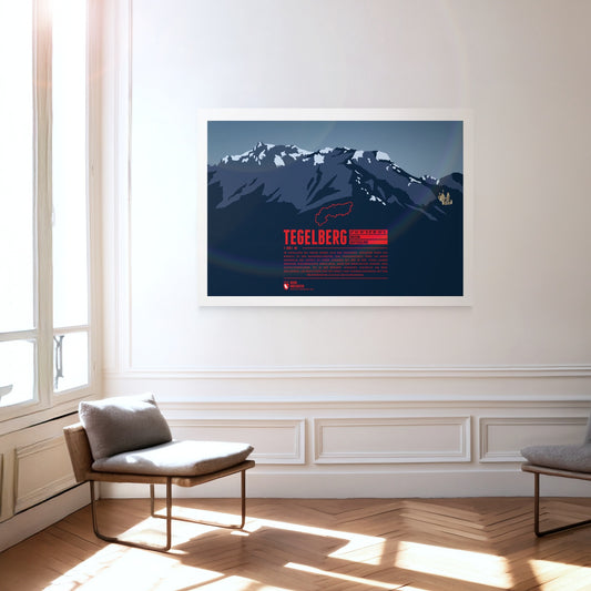
The Tegelberg rises in the Allgäu near Füssen. The highest summit of the massif is the Branderschrofen. The Tegelberghaus lies about 150 meters below the summit and can be accessed with the cable car Tegelbergbahn. Close to the mountain station is a popular starting point for paragliders who appear in large numbers during the warm season. On the western foot of the mountain is Hohenschwangau with the world famous Neuschwanstein Castle.
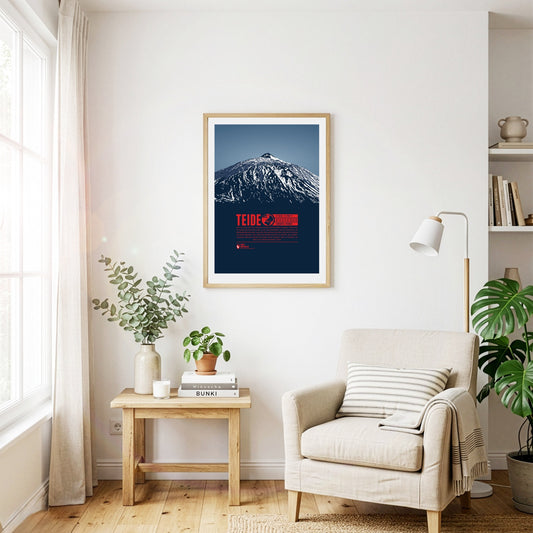
El Pico de Teide on Tenerife is the highest mountain of Spain. It is also the high point of all islands in the Atlantic Ocean. Teide was a holy mountain to the Guanches, the native inhabitants of the Canary Islands. The volcano is famous for casting the world's largest shadow onto the sea at dawn, reaching the islands of Gran Canaria and La Gomera, more than 40 kilometres away.
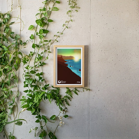
Tenerife is the largest of the Canary Islands and charms visitors in every season with its mild climate. The Spanish volcanic island stands out for its geographical variety: while the Pico del Teide, at 3718 metres the highest mountain in Spain, towers at its centre, in the east of the island you can enjoy the flowering plants of the green Orotava valley or explore the yellow Californian poppy meadows near Arafo. The north-east of the island is covered by the wildly rugged, densely wooded Anaga mountains, which rise steeply from the sea at the coast to a height of around 1000 metres.
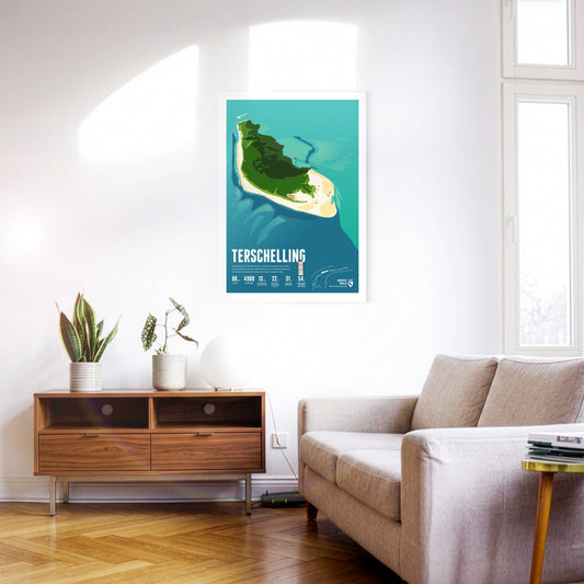
Terschelling is known for the annual Oerol cultural festival. A 30-kilometre beach encloses the dune landscape. Thousands of birds live in the nature reserve in the east of the island.
The Teufelstisch ("devil's table") at Hinterweidenthal is one of the scenic landmarks of the Palatinate. At around 14 metres high, the mushroom rock is the largest of its kind in the Palatinate Forest and a popular climbing destination, though many also explore it on foot along the Hinterweidenthal Teufelstisch trail. The unique formation came about as erosion wore away the surrounding rock layers until only the hard stone remained that gives the Teufelstisch its astonishing shape today.
The largest Frisian island is particularly popular with tourists. Texel's beach is 30 kilometers long, with the busiest seaside resort of De Koog. Countless sheep graze on the island's pastures.
The Three Sisters are a group of three volcanoes, made up of Oregon's third-, fourth- and fifth-highest mountains, all having an elevation over 10000 ft (3000 m). Being very close to each other, they appear as an entity. The chapter of the Methodist church of Salem named the three summits from north to south Faith, Hope and Charity in the 1840s. Nearby Mount Bachelor, lying much more remotely by itself, owes its name to the Three Sisters. Today the three mountains are a popular destination for climbers. Even though the South Sister is the highest of the three summits, the North Sister is considered the most dangerous to climb.
The Timmelsjoch, also called the Timmel, is a 2474-metre border pass between Austria and Italy that separates the Ötztal Alps from the Stubai Alps and connects the Ötztal with the Passeier valley. The pass, whose name derives from the Romansh word "tömbl" for hill, has been used since the earliest times and was an important trade route, including for the Fugger and Welser merchant families. The border between Italy and Austria has run across the pass since 1920, and in 2010 the Timmelsjoch Museum opened – built exactly on the border and highlighting the history and significance of the pass.
The Titlis lies at the centre of the Uri Alps and is the highest point of a mountain chain some 20 kilometres long. While the Titlis, with its curved summit, drops away sharply to the east and south in impressive rock faces, to the north it slopes gently down towards the municipality of Engelberg. Thanks to cable-car access and attractions such as the ‘Titlis Cliff Walk’, it is a very popular and much-visited mountain, whether for walking in summer or skiing in winter.
The Tödi is the highest mountain of the Glarus Alps. Large parts of the mountain are glaciated which makes them hard to reach. The name is said to come from the Swiss German “d'Ödi” (“Ödnis” in Standard German, a wasteland) which transformed into Tödi over time. With a clear sky the view from the summit reaches up as far as Zürich, 70 kilometers in the distance.
Toubkal is the highest peak in the Atlas Mountains. It is also the high point of Morocco and in the entire Arab world. Since Toubkal can be climbed fairly easy it is a popular destination for mountaineers who want to experience and acclimatize in heights above 4000 meters. On clear days the view from the summit offers a great panorama of southern Morocco and goes as far as the Sahara desert.
Thanks to its forward position and striking silhouette, the Traunstein is often called the guardian of the Salzkammergut – in good weather it can be spotted from over 150 km away. At 1691 m it may be small fry among the mountains of the Alps, but its beauty has always attracted prominent visitors. Emperor Franz Joseph came here regularly to hunt chamois.
The Trettachspitze is the highest mountain of the Allgäu Alps to lie entirely in Bavaria. Because of its appearance, the striking summit is also called the ‘Matterhorn of the Allgäu’. The ascent of the Trettachspitze is reserved for experienced climbers; the easiest line is the route over the north-west ridge. Various routes on the mountain’s west face are climbed particularly often.
Slovenia's highest mountain is an icon for the Eastern Alps and a national symbol shown on the country's coat of arms and the 50 cent coin. Triglav can sometimes still be spotted from a distance of 100 km. Slovenia's only national park is named after the mountain. The opening of the 2864 Bohinj ski resort as the largest Slovenian ski resort, combining both tourism and ecology is planned in the near future.
Regular price
from 19 €
Regular priceSale price
from 19 €
Books, maps and more.
About the Alps and the world.