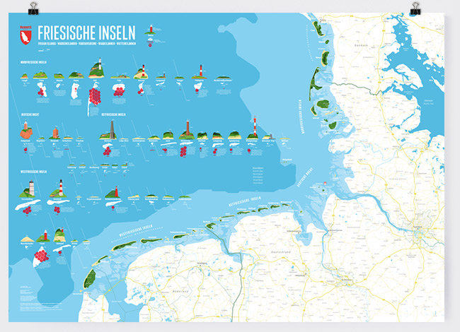
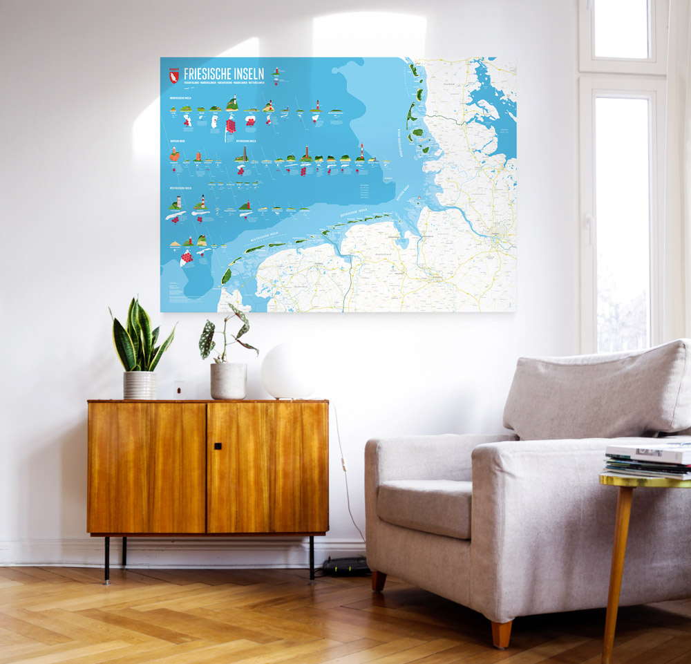
The map covers 48 Islands of the North Sea:
The West Frisian Islands on the north coast of the Netherlands, the East Frisian Islands and the German Bay up until the North Frisian Islands and the Danish Waddensea Islands.
All Islands are carefully illustrated and supplemented with multiple facts.
More information about the different materials.
€ 60.00
includes VAT and shipping in the EU
Release: 12-11-2022
Size: 1400 x 1000 mm
Print: digital print 200 g matt
Language: German
THE FRISIAN ISLANDS
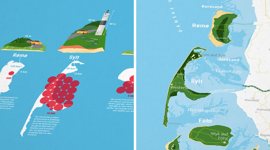
The illustrations of the islands show now only the outlines of each island but also sandy area and names and location of the biggest cities on the islands. On the main land, the most important cities, towns, waters and streets are shown.
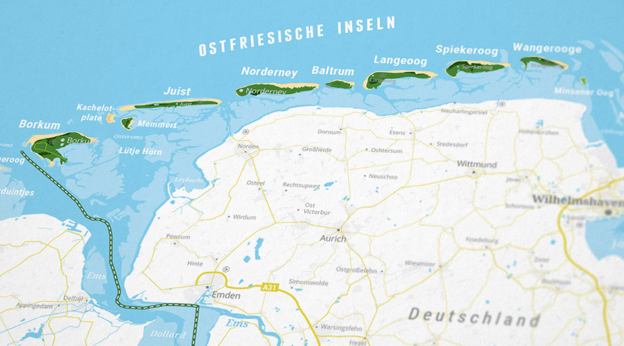
Each Island is shown a second time, in addition to it's location on the North Sea coast.
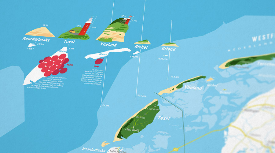
The illustraton of the islands profiles is completed with facts about the island.
The white silhouette that is shown additionally makes it easy to find each island on the map.
ISLAND FACTS
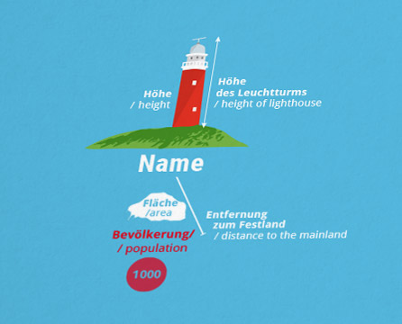
For each island, data about the area, the height, the height of the tallest lighthouse (if there is any), the distance to the mainland and the population (if the island is inhabited) is shown. The tallest lighthouse is additionally illustrated.
Also the illustrations of the islands show if driving a car is permitted on the islands: If there is a small orange car pictured, driving is allowed.
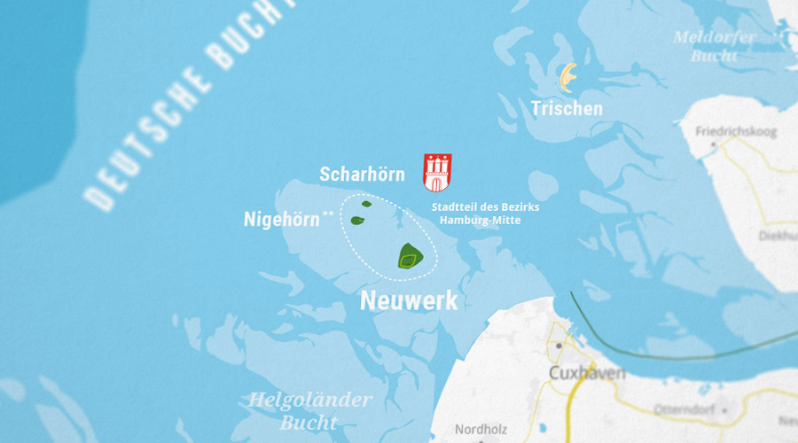
The islands Neuwerk, Scharhörn and Nigehörn are officially part of the City of Hamburg, which is located 120 km away from the coast.
Nigehörn was artificially constructed in 1989 on behalf of the Environment Agency of the City of Hamburg and is now the cities most western point.
