West of the Sella group the peaks of the Langkofel or Sassolungo Group form a nearly perfect half circle. The two dominant summits are the Langkofel (Sassolungo) in the northeast as the highest peak of the group and Plattkofel (Sasso Piatto) in the southwest. Due to the many ski resorts in the winter the area can be accessed with various aerial lifts, among them a gondola from Sella Pass to the mountain hut Utia Toni Demetz. The famous ski circuit Sella Ronda also leads alongside the Langkofel Group.
Language:
Size:
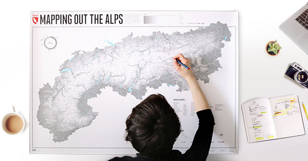
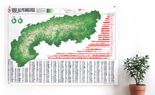
More information about the different materials.
Elevation: 3181 m
Country and region: Italy, Trentino / South Tyrol
Mountain range: Dolomites
Prominence: 1124 m
Orometric dominance: 35
Coordinates: 46.524722, 11.735278