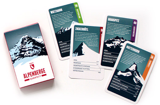
The Zuckerhütl, on the border of South Tyrol, is one of the signature mountains of the Alps. Its north side is covered by the mighty Glacier Sulzenauferner, whereas the south side declines sharply for a couple of hundred meters. On a clear day, the view from the summit extends until the Ortler, and its foot offers the marvellous slopes of the Stubai valley.

Language:

Size:

More information about the different materials.

€ 19.00

includes VAT plus shipping

add to cart

Elevation: 3507 m
Country and region: Austria, Tyrol
Mountain range: Stubai Alps
Prominence: 1033 m
Orometric dominance: 29
Coordinates: 46.964364, 11.153428

Our other prints:

See all our prints

What defines a mountain?

The criteria for our mountain choices.

see more

Infographic - What defines a mountain?

on EXPLORE THE ALPS

The map to draw your own special places in the Alps - summits, passes, valleys, creeks, forests, alpine pastures, ski-, biking- or hiking trails, villages and regions.

€ 25.00


in our Quartet of the Alpine Mountains

and 31 other illustrated summits from all eight Alpine coutries, with information on each mountain in five categories.

€ 12.00

on our map of 1001 Alpine Mountains and 20 Trails

You can find and 1000 other mountains on our transnational map of the Alpine summits.

€ 60.00