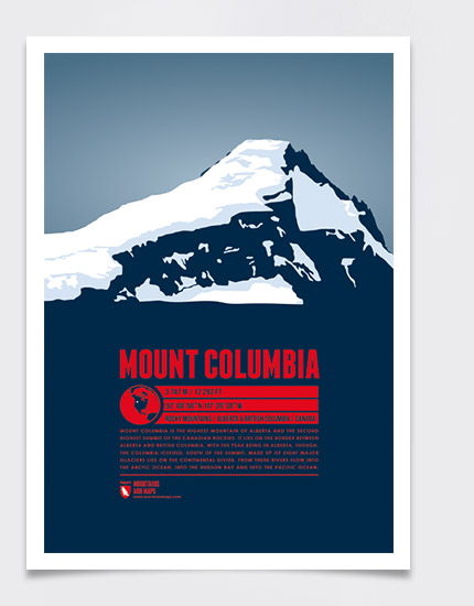
Mount Columbia is the highest mountain of Alberta and the second highest summit of the Canadian Rockies. It lies on the border between Alberta and British Columbia, with the peak being in Alberta, though. The Columbia Icefield, south of the summit, made up of eight major glaciers lies on the continental divide. From there rivers flow into the Arctic Ocean, into the Hudson Bay and into the Pacific Ocean.
Language:
Size:
More information about the different materials.
Elevation: 3747 m
Country and region: Canada, Alberta / British Columbia
Mountain range: Rocky Mountains
Prominence: 2383 m
Orometric dominance: 63
Coordinates: 52.147336, -117.441585
