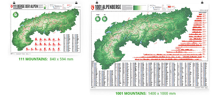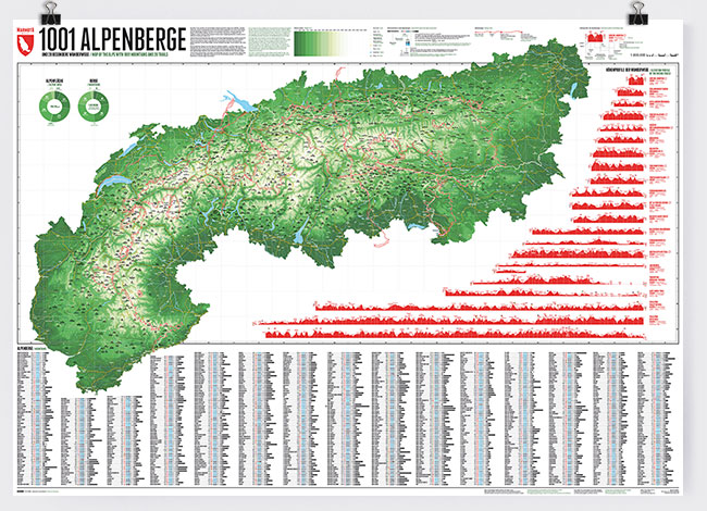
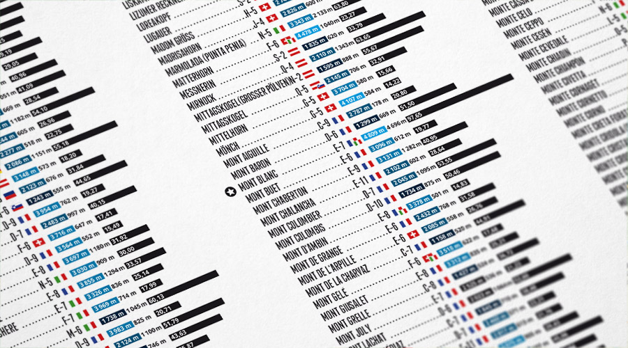
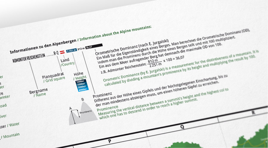
The map displays 1,001 of the primary mountains of the Alps. It lists the country, height, prominence and orometric dominance of each mountain. Additionaly 20 special hiking trails including a detailled altitude profile are shown.
More information about the different materials.
€ 60.00
includes VAT and shipping in the EU
Edition 3: 06-12-2019
Size: 1400 x 1000 mm
Print: Offset 250g matt
Language: German / English (bilingual)
ISBN: 978-3-946719-20-5
Basic structure of our map
The backbone of our map consists of contour lines at intervals of 250 metres. Thus, the map looks vivid and nicely illustrates the topography of the Alps. Besides, in order to give reference points, we show the important towns, roads, rivers and mountains, as well as the boundaries of the eight Alpine countries and their regions.

1001 Mountains of the Alps
Our map depicts the most important mountains in the Alps.
We first selected the geographically most prominent mountains. All mountains in the Alps with a prominence of at least 500 metres are included, totalling 919 mountains and three height twins, including Montblanc, Matterhorn, Grossglockner, and Zugspitze. As the prominence describes a mountain in the context of its environment, these mountains are equally distributed throughout the Alps.
Our impression of the mountains is determined by not only the geography but also the shape, the rock, and the available view of the mountain. Therefore, we included 79 special mountains of the Alps, which, despite lower prominence, shape our impression of the Alps and the mountains in it. A few examples are Eiger, Grosser Mythen, and High Weisse. The selection of these mountains is partly subjective, but we have made sure that the whole Alpine region is equally represented. We have taken the liberty to add some landmarks that are not separate mountains in common geographical definition, but that nevertheless characterize the Alps because of their distinctive shape.
Our print: What defines a mountain? 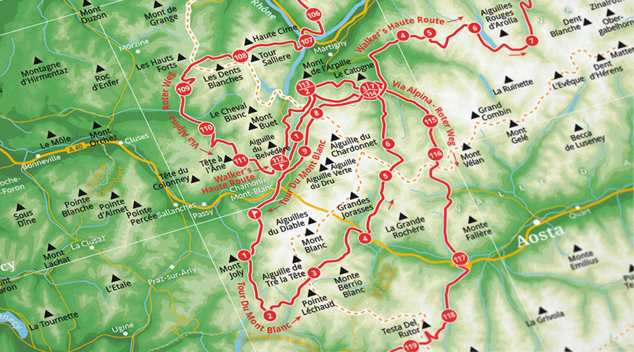
20 special trails
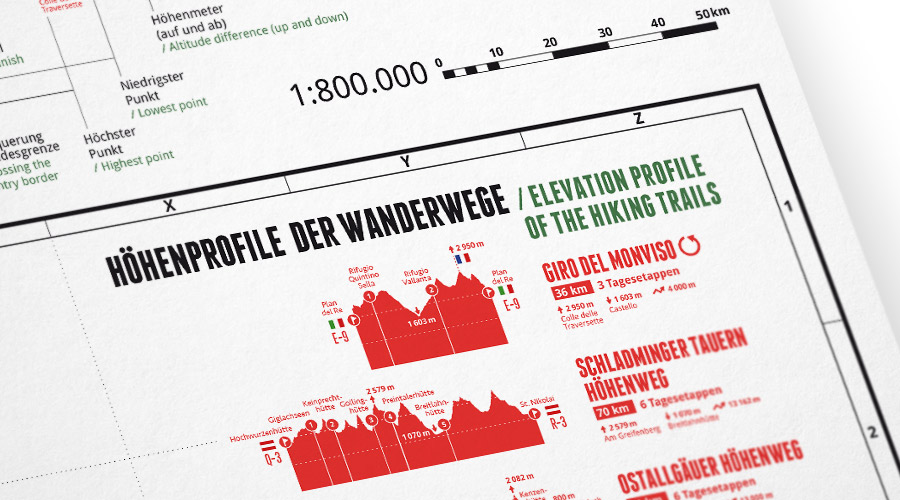
Completing the map are 20 special trails in the Alps:
Alpe-Adria-Trail, Austria Skyline Trail, Bärentrek, Dolomiten Höhenweg Nr. 9, Fernwanderweg E1, Fernwanderweg E5, Gesäuser Hüttenrundwanderweg, Giro del Monviso, GR 54 -Tour des Ecrins et de L'oisans, Jakobsweg, Ostallgäuer Höhenweg, Schladminger Tauern Höhenweg, Tour Des Glaciers, Tour du Mont Blanc, Tour Monte Rosa, Traumpfad: München - Venedig, Via Alpina - Roter Weg, Via Alpina - Violetter Weg, Walker's Haute Route and Walserweg Graubünden.
We have chosen popularity, regional distribution, and length as the main criteria to represent a diverse range of hiking trails. We also included detailed elevation profiles for all 20 trails.
Our data
We are thankful to renowned Alpine explorers and mountain chroniclers Eberhard Jurgalski and Oliver Klemm, who provided the information about the mountains.
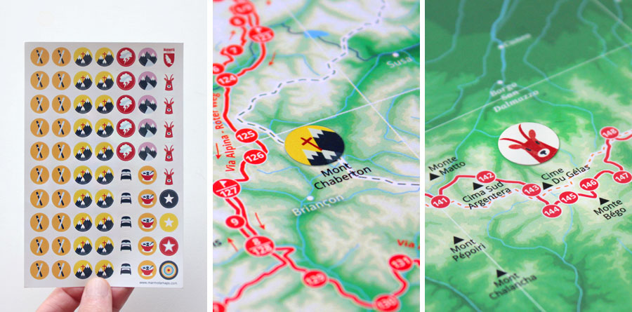
Marmota Stickers for our mountain map
Our matching Marmota sticker set lets you mark your very own Alpine experiences.
